Launch List
API endpoint that returns all Launch objects or a single launch.
EXAMPLE - /launch/
GET: Return a list of all Launch objects.
FILTERS: Fields - 'name', 'id(s)', 'lsp_id', 'lsp_name', 'serial_number', 'launcher_config__id', 'rocket__spacecraftflight__spacecraft__name'
MODE: 'normal', 'list', 'detailed' EXAMPLE: ?mode=list
SEARCH: Searches through the launch name, rocket name, launch agency, mission name & spacecraft name. EXAMPLE - ?search=SpaceX
GET /2.0.0/launch/?format=api&offset=390&ordering=net
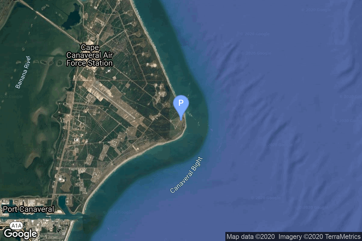
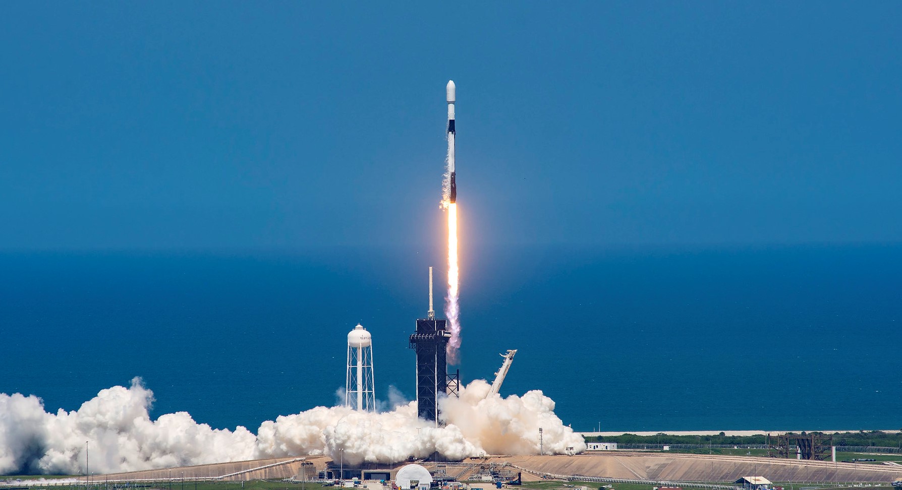
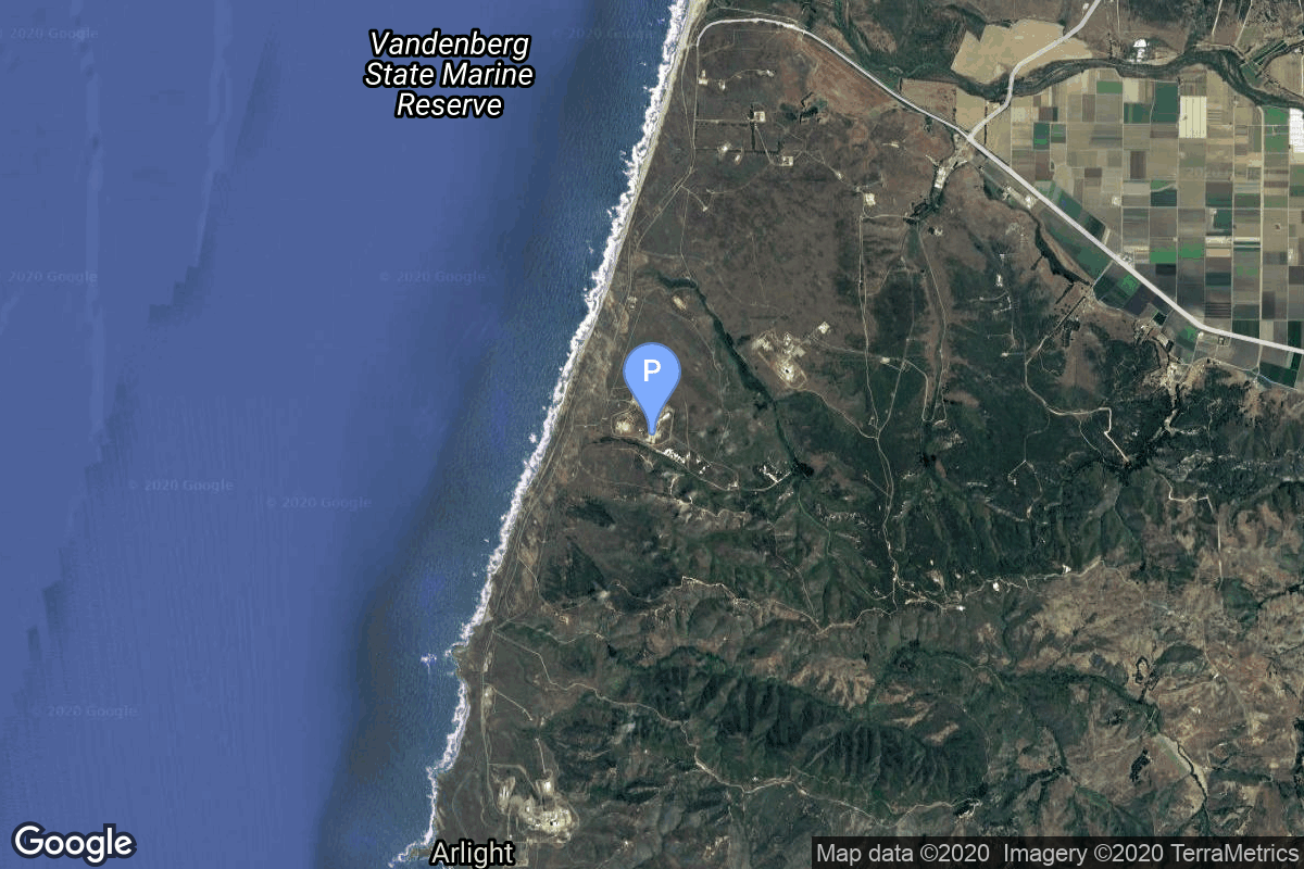
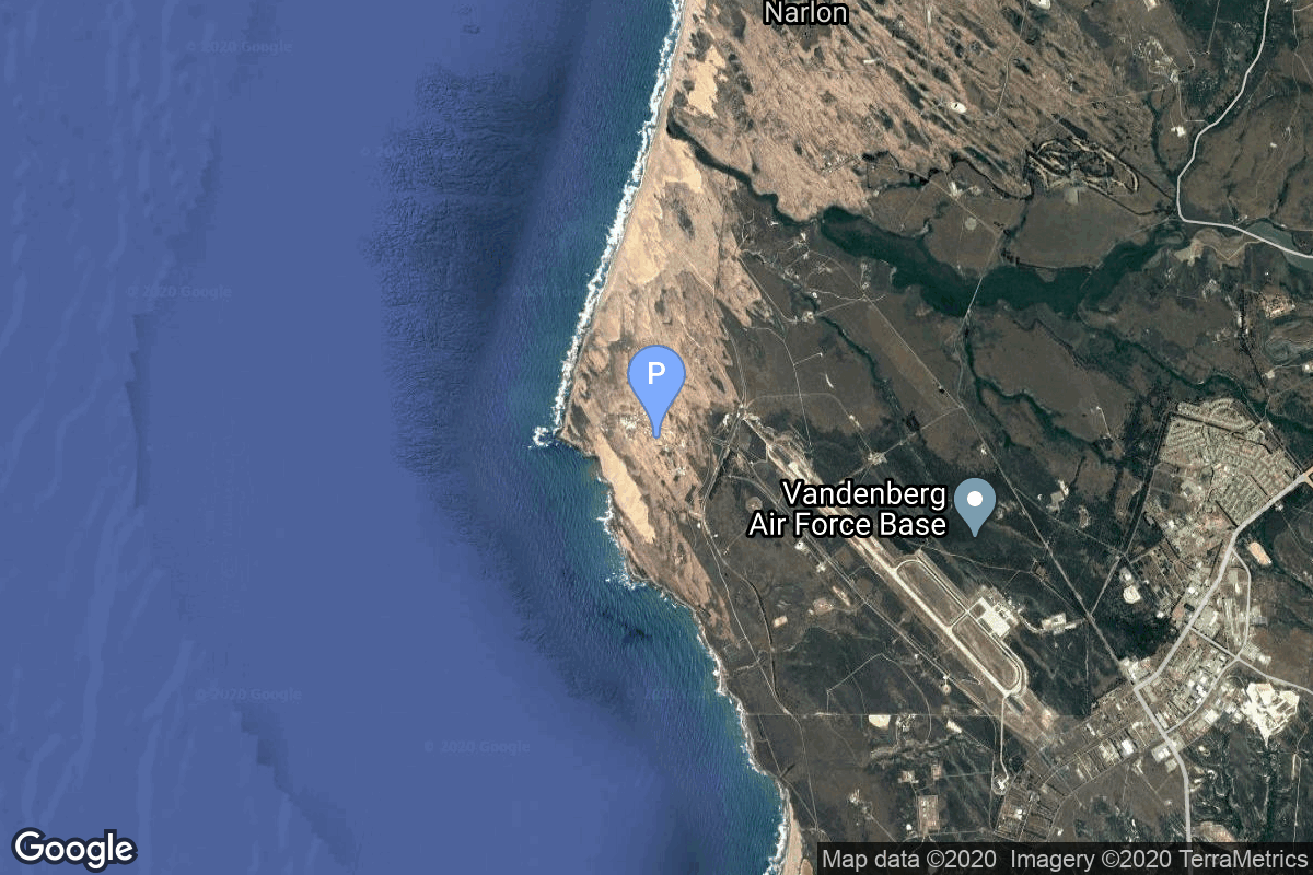
{ "count": 535, "next": "https://lldev.thespacedevs.com/2.0.0/launch/?format=api&limit=10&offset=400&ordering=net", "previous": "https://lldev.thespacedevs.com/2.0.0/launch/?format=api&limit=10&offset=380&ordering=net", "results": [ { "id": "9bfa0324-db74-444f-8dc3-1c7d373ca659", "url": "https://lldev.thespacedevs.com/2.0.0/launch/9bfa0324-db74-444f-8dc3-1c7d373ca659/?format=api", "launch_library_id": null, "slug": "falcon-9-block-5-5x-astranis-microgeo", "name": "Falcon 9 Block 5 | 5x Astranis MicroGEO", "status": { "id": 2, "name": "TBD" }, "net": "2026-09-30T00:00:00Z", "window_end": "2026-09-30T00:00:00Z", "window_start": "2026-09-30T00:00:00Z", "inhold": false, "tbdtime": true, "tbddate": true, "probability": null, "holdreason": "", "failreason": "", "hashtag": null, "launch_service_provider": { "id": 121, "url": "https://lldev.thespacedevs.com/2.0.0/agencies/121/?format=api", "name": "SpaceX", "type": "Commercial" }, "rocket": { "id": 8506, "configuration": { "id": 164, "launch_library_id": 188, "url": "https://lldev.thespacedevs.com/2.0.0/config/launcher/164/?format=api", "name": "Falcon 9", "family": "Falcon", "full_name": "Falcon 9 Block 5", "variant": "Block 5" } }, "mission": { "id": 7095, "launch_library_id": null, "name": "5x Astranis MicroGEO", "description": "Five Astranis MicroGEO communications satellite to be inserted in a custom geostationary orbit, from where they conduct on-orbit maneuvers to reach their individual slots.\r\n\r\nThe 5 satellites include:\r\n\r\n* Apco 1 & Apco 2 (Mexico)\r\n\r\n* Thaicom-9 (Thailand)\r\n\r\n* 1x for Chunghwa Telecom (Taiwan)\r\n\r\n* 1x for MB Group (Oman)", "launch_designator": null, "type": "Communications", "orbit": { "id": 2, "name": "Geostationary Transfer Orbit", "abbrev": "GTO" } }, "pad": { "id": 72, "url": "https://lldev.thespacedevs.com/2.0.0/pad/72/?format=api", "agency_id": null, "name": "Unknown Pad", "info_url": null, "wiki_url": "", "map_url": "https://www.google.com/maps?q=28.458,-80.528", "latitude": "28.458", "longitude": "-80.528", "location": { "id": 12, "url": "https://lldev.thespacedevs.com/2.0.0/location/12/?format=api", "name": "Cape Canaveral SFS, FL, USA", "country_code": "USA", "map_image": "https://thespacedevs-dev.nyc3.digitaloceanspaces.com/media/map_images/location_12_20200803142519.jpg", "total_launch_count": 1115, "total_landing_count": 75 }, "map_image": "https://thespacedevs-dev.nyc3.digitaloceanspaces.com/media/map_images/pad_72_20200803143403.jpg", "total_launch_count": 0 }, "webcast_live": false, "image": "https://thespacedevs-dev.nyc3.digitaloceanspaces.com/media/images/falcon_9_on_slc_image_20241221043403.jpg", "infographic": null, "program": [] }, { "id": "ad358a4d-c541-409b-9366-9c2f2da4aeb9", "url": "https://lldev.thespacedevs.com/2.0.0/launch/ad358a4d-c541-409b-9366-9c2f2da4aeb9/?format=api", "launch_library_id": null, "slug": "falcon-9-block-5-o3b-mpower-11-13", "name": "Falcon 9 Block 5 | O3b mPower 11-13", "status": { "id": 2, "name": "TBD" }, "net": "2026-09-30T00:00:00Z", "window_end": "2026-09-30T00:00:00Z", "window_start": "2026-09-30T00:00:00Z", "inhold": false, "tbdtime": true, "tbddate": true, "probability": null, "holdreason": "", "failreason": "", "hashtag": null, "launch_service_provider": { "id": 121, "url": "https://lldev.thespacedevs.com/2.0.0/agencies/121/?format=api", "name": "SpaceX", "type": "Commercial" }, "rocket": { "id": 8448, "configuration": { "id": 164, "launch_library_id": 188, "url": "https://lldev.thespacedevs.com/2.0.0/config/launcher/164/?format=api", "name": "Falcon 9", "family": "Falcon", "full_name": "Falcon 9 Block 5", "variant": "Block 5" } }, "mission": { "id": 7037, "launch_library_id": null, "name": "O3b mPower 11-13", "description": "3 high-throughput communications satellites in Medium Earth Orbit (MEO) built by Boeing and operated by SES.", "launch_designator": null, "type": "Communications", "orbit": { "id": 12, "name": "Medium Earth Orbit", "abbrev": "MEO" } }, "pad": { "id": 72, "url": "https://lldev.thespacedevs.com/2.0.0/pad/72/?format=api", "agency_id": null, "name": "Unknown Pad", "info_url": null, "wiki_url": "", "map_url": "https://www.google.com/maps?q=28.458,-80.528", "latitude": "28.458", "longitude": "-80.528", "location": { "id": 12, "url": "https://lldev.thespacedevs.com/2.0.0/location/12/?format=api", "name": "Cape Canaveral SFS, FL, USA", "country_code": "USA", "map_image": "https://thespacedevs-dev.nyc3.digitaloceanspaces.com/media/map_images/location_12_20200803142519.jpg", "total_launch_count": 1115, "total_landing_count": 75 }, "map_image": "https://thespacedevs-dev.nyc3.digitaloceanspaces.com/media/map_images/pad_72_20200803143403.jpg", "total_launch_count": 0 }, "webcast_live": false, "image": "https://thespacedevs-dev.nyc3.digitaloceanspaces.com/media/images/falcon_9_image_20230807133459.jpeg", "infographic": null, "program": [] }, { "id": "c5783e2b-d458-4b99-9936-4043c236190b", "url": "https://lldev.thespacedevs.com/2.0.0/launch/c5783e2b-d458-4b99-9936-4043c236190b/?format=api", "launch_library_id": null, "slug": "falcon-9-block-5-sda-tranche-1-transport-layer-f", "name": "Falcon 9 Block 5 | SDA Tranche 1 Transport Layer F", "status": { "id": 2, "name": "TBD" }, "net": "2026-09-30T00:00:00Z", "window_end": "2026-09-30T00:00:00Z", "window_start": "2026-09-30T00:00:00Z", "inhold": false, "tbdtime": true, "tbddate": true, "probability": null, "holdreason": "", "failreason": "", "hashtag": null, "launch_service_provider": { "id": 121, "url": "https://lldev.thespacedevs.com/2.0.0/agencies/121/?format=api", "name": "SpaceX", "type": "Commercial" }, "rocket": { "id": 8071, "configuration": { "id": 164, "launch_library_id": 188, "url": "https://lldev.thespacedevs.com/2.0.0/config/launcher/164/?format=api", "name": "Falcon 9", "family": "Falcon", "full_name": "Falcon 9 Block 5", "variant": "Block 5" } }, "mission": { "id": 6624, "launch_library_id": null, "name": "SDA Tranche 1 Transport Layer F", "description": "Tranche 1 Transport Layer F is one of six missions by the United States Space Force Space Development Agency (SDA) for the Proliferated Warfighter Space Architecture (PWSA) Tranche 1 Transport Layer constellation, which will provide assured, resilient, low-latency military data and connectivity worldwide to the full range of warfighter platforms from Low Earth Orbit satellites.\r\n\r\nThe constellation will be interconnected with Optical Inter-Satellite Links (OISLs) which have significantly increased performance over existing radio frequency crosslinks. It is expected to operate over Ka band, have stereo coverage and be dynamically networked for simpler hand-offs, greater bandwidth and fault tolerance.", "launch_designator": null, "type": "Government/Top Secret", "orbit": { "id": 13, "name": "Polar Orbit", "abbrev": "PO" } }, "pad": { "id": 16, "url": "https://lldev.thespacedevs.com/2.0.0/pad/16/?format=api", "agency_id": null, "name": "Space Launch Complex 4E", "info_url": null, "wiki_url": "https://en.wikipedia.org/wiki/Vandenberg_Space_Launch_Complex_4#SLC-4E", "map_url": "https://www.google.com/maps?q=34.632,-120.611", "latitude": "34.632", "longitude": "-120.611", "location": { "id": 11, "url": "https://lldev.thespacedevs.com/2.0.0/location/11/?format=api", "name": "Vandenberg SFB, CA, USA", "country_code": "USA", "map_image": "https://thespacedevs-dev.nyc3.digitaloceanspaces.com/media/map_images/location_11_20200803142416.jpg", "total_launch_count": 892, "total_landing_count": 35 }, "map_image": "https://thespacedevs-dev.nyc3.digitaloceanspaces.com/media/map_images/pad_16_20200803143532.jpg", "total_launch_count": 276 }, "webcast_live": false, "image": "https://thespacedevs-dev.nyc3.digitaloceanspaces.com/media/images/falcon_9_image_20230807133459.jpeg", "infographic": null, "program": [] }, { "id": "cb1762f0-90f4-4902-a5f6-655a7ade25bf", "url": "https://lldev.thespacedevs.com/2.0.0/launch/cb1762f0-90f4-4902-a5f6-655a7ade25bf/?format=api", "launch_library_id": null, "slug": "falcon-9-block-5-sda-tranche-2-tracking-layer-b", "name": "Falcon 9 Block 5 | SDA Tranche 2 Tracking Layer B", "status": { "id": 2, "name": "TBD" }, "net": "2026-09-30T00:00:00Z", "window_end": "2026-09-30T00:00:00Z", "window_start": "2026-09-30T00:00:00Z", "inhold": false, "tbdtime": true, "tbddate": true, "probability": null, "holdreason": "", "failreason": "", "hashtag": null, "launch_service_provider": { "id": 121, "url": "https://lldev.thespacedevs.com/2.0.0/agencies/121/?format=api", "name": "SpaceX", "type": "Commercial" }, "rocket": { "id": 8883, "configuration": { "id": 164, "launch_library_id": 188, "url": "https://lldev.thespacedevs.com/2.0.0/config/launcher/164/?format=api", "name": "Falcon 9", "family": "Falcon", "full_name": "Falcon 9 Block 5", "variant": "Block 5" } }, "mission": { "id": 7474, "launch_library_id": null, "name": "SDA Tranche 2 Tracking Layer B", "description": "Classified mission launched by the Space Development Agency (SDA) for Tranche 2 Tracking Layer.", "launch_designator": null, "type": "Government/Top Secret", "orbit": { "id": 13, "name": "Polar Orbit", "abbrev": "PO" } }, "pad": { "id": 72, "url": "https://lldev.thespacedevs.com/2.0.0/pad/72/?format=api", "agency_id": null, "name": "Unknown Pad", "info_url": null, "wiki_url": "", "map_url": "https://www.google.com/maps?q=28.458,-80.528", "latitude": "28.458", "longitude": "-80.528", "location": { "id": 12, "url": "https://lldev.thespacedevs.com/2.0.0/location/12/?format=api", "name": "Cape Canaveral SFS, FL, USA", "country_code": "USA", "map_image": "https://thespacedevs-dev.nyc3.digitaloceanspaces.com/media/map_images/location_12_20200803142519.jpg", "total_launch_count": 1115, "total_landing_count": 75 }, "map_image": "https://thespacedevs-dev.nyc3.digitaloceanspaces.com/media/map_images/pad_72_20200803143403.jpg", "total_launch_count": 0 }, "webcast_live": false, "image": "https://thespacedevs-dev.nyc3.digitaloceanspaces.com/media/images/falcon_9_image_20230807133459.jpeg", "infographic": null, "program": [] }, { "id": "d1a3807e-f304-467c-a095-e08b86924347", "url": "https://lldev.thespacedevs.com/2.0.0/launch/d1a3807e-f304-467c-a095-e08b86924347/?format=api", "launch_library_id": null, "slug": "firefly-alpha-block-2-quicksounder", "name": "Firefly Alpha Block 2 | QuickSounder", "status": { "id": 2, "name": "TBD" }, "net": "2026-09-30T00:00:00Z", "window_end": "2026-09-30T00:00:00Z", "window_start": "2026-09-30T00:00:00Z", "inhold": false, "tbdtime": true, "tbddate": true, "probability": null, "holdreason": "", "failreason": "", "hashtag": null, "launch_service_provider": { "id": 265, "url": "https://lldev.thespacedevs.com/2.0.0/agencies/265/?format=api", "name": "Firefly Aerospace", "type": "Commercial" }, "rocket": { "id": 8362, "configuration": { "id": 551, "launch_library_id": null, "url": "https://lldev.thespacedevs.com/2.0.0/config/launcher/551/?format=api", "name": "Firefly Alpha Block 2", "family": "Firefly Alpha", "full_name": "Firefly Alpha Block 2", "variant": "Block 2" } }, "mission": { "id": 6943, "launch_library_id": null, "name": "QuickSounder", "description": "QuickSounder is the first satellite mission of the Near Earth Orbit Network (NEON) program of the National Oceanic and Atmospheric Administration (NOAA), which aims to replace the current Joint Polar Satellite System (JPSS) series of polar orbit weather satellites. This pathfinder mission will demonstrate NOAA's ability to launch a small satellite within 3 years, flying a refurbished Advanced Technology Microwave Sounder (ATMS) instrument to polar orbit.", "launch_designator": null, "type": "Earth Science", "orbit": { "id": 17, "name": "Sun-Synchronous Orbit", "abbrev": "SSO" } }, "pad": { "id": 39, "url": "https://lldev.thespacedevs.com/2.0.0/pad/39/?format=api", "agency_id": null, "name": "Space Launch Complex 2W", "info_url": null, "wiki_url": "https://en.wikipedia.org/wiki/Vandenberg_Space_Launch_Complex_2", "map_url": "https://www.google.com/maps?q=34.7556,-120.6224", "latitude": "34.7556", "longitude": "-120.6224", "location": { "id": 11, "url": "https://lldev.thespacedevs.com/2.0.0/location/11/?format=api", "name": "Vandenberg SFB, CA, USA", "country_code": "USA", "map_image": "https://thespacedevs-dev.nyc3.digitaloceanspaces.com/media/map_images/location_11_20200803142416.jpg", "total_launch_count": 892, "total_landing_count": 35 }, "map_image": "https://thespacedevs-dev.nyc3.digitaloceanspaces.com/media/map_images/pad_39_20200803143542.jpg", "total_launch_count": 99 }, "webcast_live": false, "image": "https://thespacedevs-dev.nyc3.digitaloceanspaces.com/media/images/firefly_alpha_l_image_20240605174156.jpeg", "infographic": null, "program": [] }, { "id": "d9adedc4-8fa1-4a36-84f9-43b8893a6865", "url": "https://lldev.thespacedevs.com/2.0.0/launch/d9adedc4-8fa1-4a36-84f9-43b8893a6865/?format=api", "launch_library_id": null, "slug": "falcon-9-block-5-sda-tranche-1-transport-layer-e", "name": "Falcon 9 Block 5 | SDA Tranche 1 Transport Layer E", "status": { "id": 2, "name": "TBD" }, "net": "2026-09-30T00:00:00Z", "window_end": "2026-09-30T00:00:00Z", "window_start": "2026-09-30T00:00:00Z", "inhold": false, "tbdtime": true, "tbddate": true, "probability": null, "holdreason": "", "failreason": "", "hashtag": null, "launch_service_provider": { "id": 121, "url": "https://lldev.thespacedevs.com/2.0.0/agencies/121/?format=api", "name": "SpaceX", "type": "Commercial" }, "rocket": { "id": 7895, "configuration": { "id": 164, "launch_library_id": 188, "url": "https://lldev.thespacedevs.com/2.0.0/config/launcher/164/?format=api", "name": "Falcon 9", "family": "Falcon", "full_name": "Falcon 9 Block 5", "variant": "Block 5" } }, "mission": { "id": 6404, "launch_library_id": null, "name": "SDA Tranche 1 Transport Layer E", "description": "Tranche 1 Transport Layer E is one of six missions by the United States Space Force Space Development Agency (SDA) for the Proliferated Warfighter Space Architecture (PWSA) Tranche 1 Transport Layer constellation, which will provide assured, resilient, low-latency military data and connectivity worldwide to the full range of warfighter platforms from Low Earth Orbit satellites.\r\n\r\nThe constellation will be interconnected with Optical Inter-Satellite Links (OISLs) which have significantly increased performance over existing radio frequency crosslinks. It is expected to operate over Ka band, have stereo coverage and be dynamically networked for simpler hand-offs, greater bandwidth and fault tolerance.", "launch_designator": null, "type": "Government/Top Secret", "orbit": { "id": 13, "name": "Polar Orbit", "abbrev": "PO" } }, "pad": { "id": 16, "url": "https://lldev.thespacedevs.com/2.0.0/pad/16/?format=api", "agency_id": null, "name": "Space Launch Complex 4E", "info_url": null, "wiki_url": "https://en.wikipedia.org/wiki/Vandenberg_Space_Launch_Complex_4#SLC-4E", "map_url": "https://www.google.com/maps?q=34.632,-120.611", "latitude": "34.632", "longitude": "-120.611", "location": { "id": 11, "url": "https://lldev.thespacedevs.com/2.0.0/location/11/?format=api", "name": "Vandenberg SFB, CA, USA", "country_code": "USA", "map_image": "https://thespacedevs-dev.nyc3.digitaloceanspaces.com/media/map_images/location_11_20200803142416.jpg", "total_launch_count": 892, "total_landing_count": 35 }, "map_image": "https://thespacedevs-dev.nyc3.digitaloceanspaces.com/media/map_images/pad_16_20200803143532.jpg", "total_launch_count": 276 }, "webcast_live": false, "image": "https://thespacedevs-dev.nyc3.digitaloceanspaces.com/media/images/falcon_9_image_20230807133459.jpeg", "infographic": null, "program": [] }, { "id": "da43dc2c-00af-4cc1-8ef1-90a60b2eb9e5", "url": "https://lldev.thespacedevs.com/2.0.0/launch/da43dc2c-00af-4cc1-8ef1-90a60b2eb9e5/?format=api", "launch_library_id": null, "slug": "falcon-9-block-5-sda-tranche-1-transport-layer-a", "name": "Falcon 9 Block 5 | SDA Tranche 1 Transport Layer A", "status": { "id": 2, "name": "TBD" }, "net": "2026-09-30T00:00:00Z", "window_end": "2026-09-30T00:00:00Z", "window_start": "2026-09-30T00:00:00Z", "inhold": false, "tbdtime": true, "tbddate": true, "probability": null, "holdreason": "", "failreason": "", "hashtag": null, "launch_service_provider": { "id": 121, "url": "https://lldev.thespacedevs.com/2.0.0/agencies/121/?format=api", "name": "SpaceX", "type": "Commercial" }, "rocket": { "id": 7589, "configuration": { "id": 164, "launch_library_id": 188, "url": "https://lldev.thespacedevs.com/2.0.0/config/launcher/164/?format=api", "name": "Falcon 9", "family": "Falcon", "full_name": "Falcon 9 Block 5", "variant": "Block 5" } }, "mission": { "id": 6031, "launch_library_id": null, "name": "SDA Tranche 1 Transport Layer A", "description": "Tranche 1 Transport Layer A is one of six missions by the United States Space Force Space Development Agency (SDA) for the Proliferated Warfighter Space Architecture (PWSA) Tranche 1 Transport Layer constellation, which will provide assured, resilient, low-latency military data and connectivity worldwide to the full range of warfighter platforms from Low Earth Orbit satellites.\r\n\r\nThe constellation will be interconnected with Optical Inter-Satellite Links (OISLs) which have significantly increased performance over existing radio frequency crosslinks. It is expected to operate over Ka band, have stereo coverage and be dynamically networked for simpler hand-offs, greater bandwidth and fault tolerance.\r\n\r\nThis launch carries 21 satellites manufactured by Northrop Grumman.", "launch_designator": null, "type": "Government/Top Secret", "orbit": { "id": 13, "name": "Polar Orbit", "abbrev": "PO" } }, "pad": { "id": 16, "url": "https://lldev.thespacedevs.com/2.0.0/pad/16/?format=api", "agency_id": null, "name": "Space Launch Complex 4E", "info_url": null, "wiki_url": "https://en.wikipedia.org/wiki/Vandenberg_Space_Launch_Complex_4#SLC-4E", "map_url": "https://www.google.com/maps?q=34.632,-120.611", "latitude": "34.632", "longitude": "-120.611", "location": { "id": 11, "url": "https://lldev.thespacedevs.com/2.0.0/location/11/?format=api", "name": "Vandenberg SFB, CA, USA", "country_code": "USA", "map_image": "https://thespacedevs-dev.nyc3.digitaloceanspaces.com/media/map_images/location_11_20200803142416.jpg", "total_launch_count": 892, "total_landing_count": 35 }, "map_image": "https://thespacedevs-dev.nyc3.digitaloceanspaces.com/media/map_images/pad_16_20200803143532.jpg", "total_launch_count": 276 }, "webcast_live": false, "image": "https://thespacedevs-dev.nyc3.digitaloceanspaces.com/media/images/falcon_9_image_20230807133459.jpeg", "infographic": null, "program": [] }, { "id": "dca8749f-1552-485a-8061-f1ad79055b8d", "url": "https://lldev.thespacedevs.com/2.0.0/launch/dca8749f-1552-485a-8061-f1ad79055b8d/?format=api", "launch_library_id": null, "slug": "falcon-9-block-5-sda-tranche-1-tracking-layer-c", "name": "Falcon 9 Block 5 | SDA Tranche 1 Tracking Layer C", "status": { "id": 2, "name": "TBD" }, "net": "2026-09-30T00:00:00Z", "window_end": "2026-09-30T00:00:00Z", "window_start": "2026-09-30T00:00:00Z", "inhold": false, "tbdtime": true, "tbddate": true, "probability": null, "holdreason": "", "failreason": "", "hashtag": null, "launch_service_provider": { "id": 121, "url": "https://lldev.thespacedevs.com/2.0.0/agencies/121/?format=api", "name": "SpaceX", "type": "Commercial" }, "rocket": { "id": 7896, "configuration": { "id": 164, "launch_library_id": 188, "url": "https://lldev.thespacedevs.com/2.0.0/config/launcher/164/?format=api", "name": "Falcon 9", "family": "Falcon", "full_name": "Falcon 9 Block 5", "variant": "Block 5" } }, "mission": { "id": 6405, "launch_library_id": null, "name": "SDA Tranche 1 Tracking Layer C", "description": "Tranche 1 Tracking Layer C is one of five missions by the United States Space Force Space Development Agency (SDA) for the Proliferated Warfighter Space Architecture (PWSA) Tranche 1 Tracking Layer constellation, which will provide global indications, warning, tracking, and targeting of advanced missile threats, including hypersonic missile systems.", "launch_designator": null, "type": "Government/Top Secret", "orbit": { "id": 13, "name": "Polar Orbit", "abbrev": "PO" } }, "pad": { "id": 16, "url": "https://lldev.thespacedevs.com/2.0.0/pad/16/?format=api", "agency_id": null, "name": "Space Launch Complex 4E", "info_url": null, "wiki_url": "https://en.wikipedia.org/wiki/Vandenberg_Space_Launch_Complex_4#SLC-4E", "map_url": "https://www.google.com/maps?q=34.632,-120.611", "latitude": "34.632", "longitude": "-120.611", "location": { "id": 11, "url": "https://lldev.thespacedevs.com/2.0.0/location/11/?format=api", "name": "Vandenberg SFB, CA, USA", "country_code": "USA", "map_image": "https://thespacedevs-dev.nyc3.digitaloceanspaces.com/media/map_images/location_11_20200803142416.jpg", "total_launch_count": 892, "total_landing_count": 35 }, "map_image": "https://thespacedevs-dev.nyc3.digitaloceanspaces.com/media/map_images/pad_16_20200803143532.jpg", "total_launch_count": 276 }, "webcast_live": false, "image": "https://thespacedevs-dev.nyc3.digitaloceanspaces.com/media/images/falcon_9_image_20230807133459.jpeg", "infographic": null, "program": [] }, { "id": "dfac5ab7-7017-454f-b6cf-eeed277a97b5", "url": "https://lldev.thespacedevs.com/2.0.0/launch/dfac5ab7-7017-454f-b6cf-eeed277a97b5/?format=api", "launch_library_id": null, "slug": "lvm-3-gaganyaan-1", "name": "LVM-3 | Gaganyaan-1", "status": { "id": 2, "name": "TBD" }, "net": "2026-09-30T00:00:00Z", "window_end": "2026-09-30T00:00:00Z", "window_start": "2026-09-30T00:00:00Z", "inhold": false, "tbdtime": true, "tbddate": true, "probability": null, "holdreason": "", "failreason": "", "hashtag": null, "launch_service_provider": { "id": 31, "url": "https://lldev.thespacedevs.com/2.0.0/agencies/31/?format=api", "name": "Indian Space Research Organization", "type": "Government" }, "rocket": { "id": 7522, "configuration": { "id": 172, "launch_library_id": 85, "url": "https://lldev.thespacedevs.com/2.0.0/config/launcher/172/?format=api", "name": "LVM-3 (GSLV Mk III)", "family": "GSLV", "full_name": "Launch Vehicle Mark-3 (GSLV Mk III)", "variant": "" } }, "mission": { "id": 5940, "launch_library_id": null, "name": "Gaganyaan-1", "description": "First uncrewed orbital test flight of the Gaganyaan capsule.", "launch_designator": null, "type": "Test Flight", "orbit": { "id": 8, "name": "Low Earth Orbit", "abbrev": "LEO" } }, "pad": { "id": 82, "url": "https://lldev.thespacedevs.com/2.0.0/pad/82/?format=api", "agency_id": 31, "name": "Satish Dhawan Space Centre Second Launch Pad", "info_url": null, "wiki_url": "https://en.wikipedia.org/wiki/Satish_Dhawan_Space_Centre_Second_Launch_Pad", "map_url": "https://www.google.com/maps?q=13.7199,80.2304", "latitude": "13.7199", "longitude": "80.2304", "location": { "id": 14, "url": "https://lldev.thespacedevs.com/2.0.0/location/14/?format=api", "name": "Satish Dhawan Space Centre, India", "country_code": "IND", "map_image": "https://thespacedevs-dev.nyc3.digitaloceanspaces.com/media/map_images/location_14_20200803142403.jpg", "total_launch_count": 103, "total_landing_count": 0 }, "map_image": "https://thespacedevs-dev.nyc3.digitaloceanspaces.com/media/map_images/pad_82_20200803143602.jpg", "total_launch_count": 32 }, "webcast_live": false, "image": "https://thespacedevs-dev.nyc3.digitaloceanspaces.com/media/images/gslv2520mk2520iii_image_20190604000938.jpg", "infographic": null, "program": [ { "id": 21, "url": "https://lldev.thespacedevs.com/2.0.0/program/21/?format=api", "name": "Gaganyaan", "description": "Gaganyaan is India's first human spaceflight program.", "agencies": [ { "id": 31, "url": "https://lldev.thespacedevs.com/2.0.0/agencies/31/?format=api", "name": "Indian Space Research Organization", "type": "Government" } ], "image_url": "https://thespacedevs-dev.nyc3.digitaloceanspaces.com/media/images/gaganyaan_program_20220120151540.jpg", "start_date": "2018-08-15T00:00:00Z", "end_date": null, "info_url": "https://www.isro.gov.in/frequently-asked-questions/gaganyaan", "wiki_url": "https://en.wikipedia.org/wiki/Gaganyaan" } ] }, { "id": "e0741415-6c63-4236-9736-24a6c04485bc", "url": "https://lldev.thespacedevs.com/2.0.0/launch/e0741415-6c63-4236-9736-24a6c04485bc/?format=api", "launch_library_id": null, "slug": "nuri-neonsat-2-to-6", "name": "Nuri | NeonSat-2 to 6", "status": { "id": 2, "name": "TBD" }, "net": "2026-09-30T00:00:00Z", "window_end": "2026-09-30T00:00:00Z", "window_start": "2026-09-30T00:00:00Z", "inhold": false, "tbdtime": true, "tbddate": true, "probability": null, "holdreason": "", "failreason": "", "hashtag": null, "launch_service_provider": { "id": 41, "url": "https://lldev.thespacedevs.com/2.0.0/agencies/41/?format=api", "name": "Korea Aerospace Research Institute", "type": "Government" }, "rocket": { "id": 8848, "configuration": { "id": 117, "launch_library_id": 169, "url": "https://lldev.thespacedevs.com/2.0.0/config/launcher/117/?format=api", "name": "Nuri", "family": "KSLV", "full_name": "KSLV-2 Nuri", "variant": "2" } }, "mission": { "id": 7439, "launch_library_id": null, "name": "NeonSat-2 to 6", "description": "NeonSat-2 to 6 are part of the South Korean government's Earth observation micro-satellite constellation NeonSat (New-space Earth Observation Satellite). The NeonSat constellation is the first satellite system developed by the government using a mass-production approach for precise monitoring of the Korean Peninsula.", "launch_designator": null, "type": "Earth Science", "orbit": { "id": 17, "name": "Sun-Synchronous Orbit", "abbrev": "SSO" } }, "pad": { "id": 192, "url": "https://lldev.thespacedevs.com/2.0.0/pad/192/?format=api", "agency_id": 41, "name": "LC-2", "info_url": null, "wiki_url": "https://en.wikipedia.org/wiki/Naro_Space_Center", "map_url": "https://www.google.com/maps?q=34.431867,127.535069", "latitude": "34.431867", "longitude": "127.535069", "location": { "id": 9, "url": "https://lldev.thespacedevs.com/2.0.0/location/9/?format=api", "name": "Naro Space Center, South Korea", "country_code": "KOR", "map_image": "https://thespacedevs-dev.nyc3.digitaloceanspaces.com/media/map_images/location_9_20200803142441.jpg", "total_launch_count": 8, "total_landing_count": 0 }, "map_image": "https://thespacedevs-dev.nyc3.digitaloceanspaces.com/media/map_images/pad_lc-2_20210812070305.jpg", "total_launch_count": 5 }, "webcast_live": false, "image": "https://thespacedevs-dev.nyc3.digitaloceanspaces.com/media/images/nuri_liftoff_2_image_20240820080542.jpeg", "infographic": null, "program": [] } ] }