Launch List
API endpoint that returns all Launch objects or a single launch.
EXAMPLE - /launch/
GET: Return a list of all Launch objects.
FILTERS: Fields - 'name', 'id(s)', 'lsp_id', 'lsp_name', 'serial_number', 'launcher_config__id', 'rocket__spacecraftflight__spacecraft__name'
MODE: 'normal', 'list', 'detailed' EXAMPLE: ?mode=list
SEARCH: Searches through the launch name, rocket name, launch agency, mission name & spacecraft name. EXAMPLE - ?search=SpaceX
GET /2.0.0/launch/?format=api&offset=390
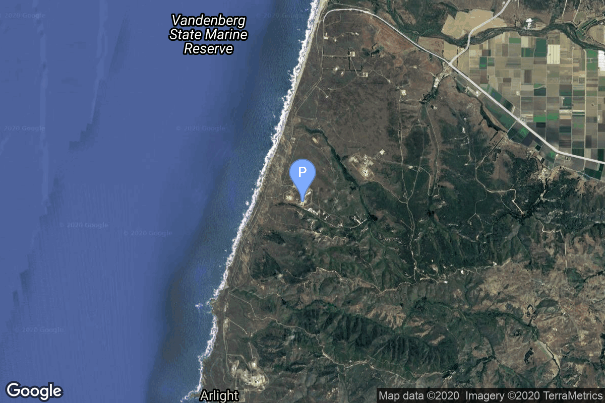
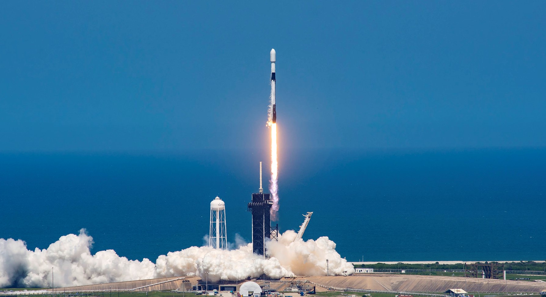
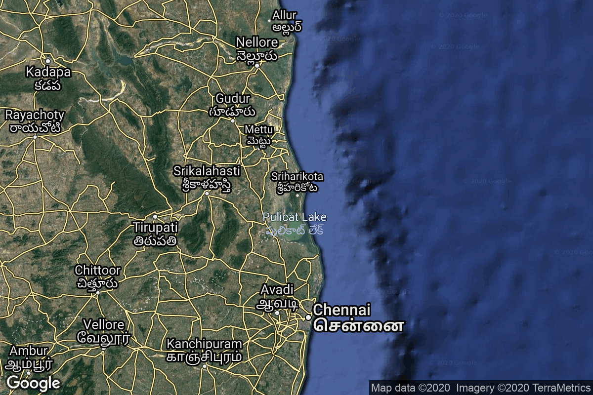
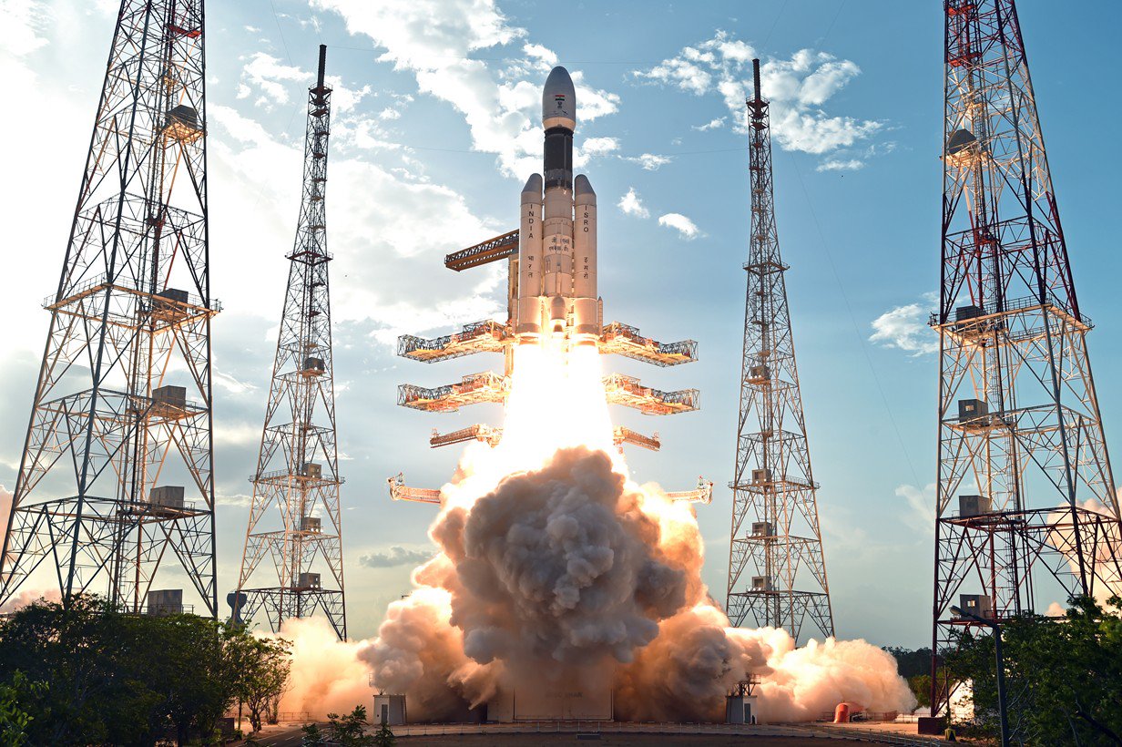
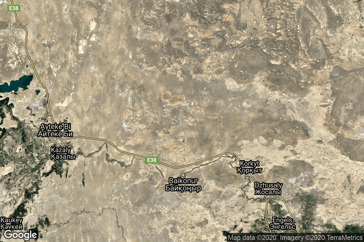
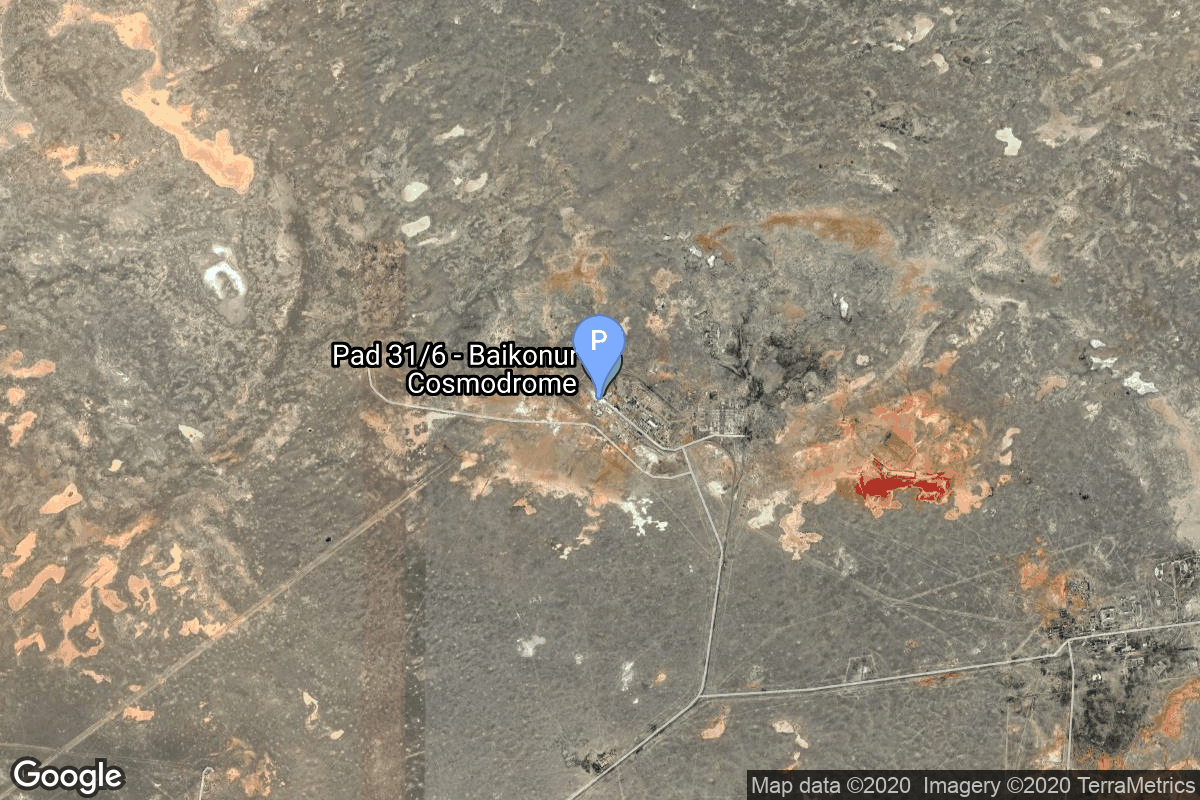
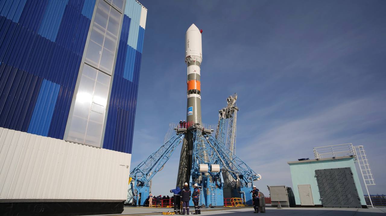
{ "count": 533, "next": "https://lldev.thespacedevs.com/2.0.0/launch/?format=api&limit=10&offset=400", "previous": "https://lldev.thespacedevs.com/2.0.0/launch/?format=api&limit=10&offset=380", "results": [ { "id": "dca8749f-1552-485a-8061-f1ad79055b8d", "url": "https://lldev.thespacedevs.com/2.0.0/launch/dca8749f-1552-485a-8061-f1ad79055b8d/?format=api", "launch_library_id": null, "slug": "falcon-9-block-5-sda-tranche-1-tracking-layer-c", "name": "Falcon 9 Block 5 | SDA Tranche 1 Tracking Layer C", "status": { "id": 2, "name": "TBD" }, "net": "2026-09-30T00:00:00Z", "window_end": "2026-09-30T00:00:00Z", "window_start": "2026-09-30T00:00:00Z", "inhold": false, "tbdtime": true, "tbddate": true, "probability": null, "holdreason": "", "failreason": "", "hashtag": null, "launch_service_provider": { "id": 121, "url": "https://lldev.thespacedevs.com/2.0.0/agencies/121/?format=api", "name": "SpaceX", "type": "Commercial" }, "rocket": { "id": 7896, "configuration": { "id": 164, "launch_library_id": 188, "url": "https://lldev.thespacedevs.com/2.0.0/config/launcher/164/?format=api", "name": "Falcon 9", "family": "Falcon", "full_name": "Falcon 9 Block 5", "variant": "Block 5" } }, "mission": { "id": 6405, "launch_library_id": null, "name": "SDA Tranche 1 Tracking Layer C", "description": "Tranche 1 Tracking Layer C is one of five missions by the United States Space Force Space Development Agency (SDA) for the Proliferated Warfighter Space Architecture (PWSA) Tranche 1 Tracking Layer constellation, which will provide global indications, warning, tracking, and targeting of advanced missile threats, including hypersonic missile systems.", "launch_designator": null, "type": "Government/Top Secret", "orbit": { "id": 13, "name": "Polar Orbit", "abbrev": "PO" } }, "pad": { "id": 16, "url": "https://lldev.thespacedevs.com/2.0.0/pad/16/?format=api", "agency_id": null, "name": "Space Launch Complex 4E", "info_url": null, "wiki_url": "https://en.wikipedia.org/wiki/Vandenberg_Space_Launch_Complex_4#SLC-4E", "map_url": "https://www.google.com/maps?q=34.632,-120.611", "latitude": "34.632", "longitude": "-120.611", "location": { "id": 11, "url": "https://lldev.thespacedevs.com/2.0.0/location/11/?format=api", "name": "Vandenberg SFB, CA, USA", "country_code": "USA", "map_image": "https://thespacedevs-dev.nyc3.digitaloceanspaces.com/media/map_images/location_11_20200803142416.jpg", "total_launch_count": 894, "total_landing_count": 35 }, "map_image": "https://thespacedevs-dev.nyc3.digitaloceanspaces.com/media/map_images/pad_16_20200803143532.jpg", "total_launch_count": 278 }, "webcast_live": false, "image": "https://thespacedevs-dev.nyc3.digitaloceanspaces.com/media/images/falcon_9_image_20230807133459.jpeg", "infographic": null, "program": [] }, { "id": "dfac5ab7-7017-454f-b6cf-eeed277a97b5", "url": "https://lldev.thespacedevs.com/2.0.0/launch/dfac5ab7-7017-454f-b6cf-eeed277a97b5/?format=api", "launch_library_id": null, "slug": "lvm-3-gaganyaan-1", "name": "LVM-3 | Gaganyaan-1", "status": { "id": 2, "name": "TBD" }, "net": "2026-09-30T00:00:00Z", "window_end": "2026-09-30T00:00:00Z", "window_start": "2026-09-30T00:00:00Z", "inhold": false, "tbdtime": true, "tbddate": true, "probability": null, "holdreason": "", "failreason": "", "hashtag": null, "launch_service_provider": { "id": 31, "url": "https://lldev.thespacedevs.com/2.0.0/agencies/31/?format=api", "name": "Indian Space Research Organization", "type": "Government" }, "rocket": { "id": 7522, "configuration": { "id": 172, "launch_library_id": 85, "url": "https://lldev.thespacedevs.com/2.0.0/config/launcher/172/?format=api", "name": "LVM-3 (GSLV Mk III)", "family": "GSLV", "full_name": "Launch Vehicle Mark-3 (GSLV Mk III)", "variant": "" } }, "mission": { "id": 5940, "launch_library_id": null, "name": "Gaganyaan-1", "description": "First uncrewed orbital test flight of the Gaganyaan capsule.", "launch_designator": null, "type": "Test Flight", "orbit": { "id": 8, "name": "Low Earth Orbit", "abbrev": "LEO" } }, "pad": { "id": 82, "url": "https://lldev.thespacedevs.com/2.0.0/pad/82/?format=api", "agency_id": 31, "name": "Satish Dhawan Space Centre Second Launch Pad", "info_url": null, "wiki_url": "https://en.wikipedia.org/wiki/Satish_Dhawan_Space_Centre_Second_Launch_Pad", "map_url": "https://www.google.com/maps?q=13.7199,80.2304", "latitude": "13.7199", "longitude": "80.2304", "location": { "id": 14, "url": "https://lldev.thespacedevs.com/2.0.0/location/14/?format=api", "name": "Satish Dhawan Space Centre, India", "country_code": "IND", "map_image": "https://thespacedevs-dev.nyc3.digitaloceanspaces.com/media/map_images/location_14_20200803142403.jpg", "total_launch_count": 103, "total_landing_count": 0 }, "map_image": "https://thespacedevs-dev.nyc3.digitaloceanspaces.com/media/map_images/pad_82_20200803143602.jpg", "total_launch_count": 32 }, "webcast_live": false, "image": "https://thespacedevs-dev.nyc3.digitaloceanspaces.com/media/images/gslv2520mk2520iii_image_20190604000938.jpg", "infographic": null, "program": [ { "id": 21, "url": "https://lldev.thespacedevs.com/2.0.0/program/21/?format=api", "name": "Gaganyaan", "description": "Gaganyaan is India's first human spaceflight program.", "agencies": [ { "id": 31, "url": "https://lldev.thespacedevs.com/2.0.0/agencies/31/?format=api", "name": "Indian Space Research Organization", "type": "Government" } ], "image_url": "https://thespacedevs-dev.nyc3.digitaloceanspaces.com/media/images/gaganyaan_program_20220120151540.jpg", "start_date": "2018-08-15T00:00:00Z", "end_date": null, "info_url": "https://www.isro.gov.in/frequently-asked-questions/gaganyaan", "wiki_url": "https://en.wikipedia.org/wiki/Gaganyaan" } ] }, { "id": "e0741415-6c63-4236-9736-24a6c04485bc", "url": "https://lldev.thespacedevs.com/2.0.0/launch/e0741415-6c63-4236-9736-24a6c04485bc/?format=api", "launch_library_id": null, "slug": "nuri-neonsat-2-to-6", "name": "Nuri | NeonSat-2 to 6", "status": { "id": 2, "name": "TBD" }, "net": "2026-09-30T00:00:00Z", "window_end": "2026-09-30T00:00:00Z", "window_start": "2026-09-30T00:00:00Z", "inhold": false, "tbdtime": true, "tbddate": true, "probability": null, "holdreason": "", "failreason": "", "hashtag": null, "launch_service_provider": { "id": 41, "url": "https://lldev.thespacedevs.com/2.0.0/agencies/41/?format=api", "name": "Korea Aerospace Research Institute", "type": "Government" }, "rocket": { "id": 8848, "configuration": { "id": 117, "launch_library_id": 169, "url": "https://lldev.thespacedevs.com/2.0.0/config/launcher/117/?format=api", "name": "Nuri", "family": "KSLV", "full_name": "KSLV-2 Nuri", "variant": "2" } }, "mission": { "id": 7439, "launch_library_id": null, "name": "NeonSat-2 to 6", "description": "NeonSat-2 to 6 are part of the South Korean government's Earth observation micro-satellite constellation NeonSat (New-space Earth Observation Satellite). The NeonSat constellation is the first satellite system developed by the government using a mass-production approach for precise monitoring of the Korean Peninsula.", "launch_designator": null, "type": "Earth Science", "orbit": { "id": 17, "name": "Sun-Synchronous Orbit", "abbrev": "SSO" } }, "pad": { "id": 192, "url": "https://lldev.thespacedevs.com/2.0.0/pad/192/?format=api", "agency_id": 41, "name": "LC-2", "info_url": null, "wiki_url": "https://en.wikipedia.org/wiki/Naro_Space_Center", "map_url": "https://www.google.com/maps?q=34.431867,127.535069", "latitude": "34.431867", "longitude": "127.535069", "location": { "id": 9, "url": "https://lldev.thespacedevs.com/2.0.0/location/9/?format=api", "name": "Naro Space Center, South Korea", "country_code": "KOR", "map_image": "https://thespacedevs-dev.nyc3.digitaloceanspaces.com/media/map_images/location_9_20200803142441.jpg", "total_launch_count": 8, "total_landing_count": 0 }, "map_image": "https://thespacedevs-dev.nyc3.digitaloceanspaces.com/media/map_images/pad_lc-2_20210812070305.jpg", "total_launch_count": 5 }, "webcast_live": false, "image": "https://thespacedevs-dev.nyc3.digitaloceanspaces.com/media/images/nuri_liftoff_2_image_20240820080542.jpeg", "infographic": null, "program": [] }, { "id": "ef9850ad-1096-425b-9d27-f7bbd186e61a", "url": "https://lldev.thespacedevs.com/2.0.0/launch/ef9850ad-1096-425b-9d27-f7bbd186e61a/?format=api", "launch_library_id": null, "slug": "vulcan-vc6l-amazon-leo-lv-01", "name": "Vulcan VC6L | Amazon Leo (LV-01)", "status": { "id": 2, "name": "TBD" }, "net": "2026-09-30T00:00:00Z", "window_end": "2026-09-30T00:00:00Z", "window_start": "2026-09-30T00:00:00Z", "inhold": false, "tbdtime": true, "tbddate": true, "probability": null, "holdreason": "", "failreason": "", "hashtag": null, "launch_service_provider": { "id": 124, "url": "https://lldev.thespacedevs.com/2.0.0/agencies/124/?format=api", "name": "United Launch Alliance", "type": "Commercial" }, "rocket": { "id": 2836, "configuration": { "id": 479, "launch_library_id": null, "url": "https://lldev.thespacedevs.com/2.0.0/config/launcher/479/?format=api", "name": "Vulcan VC6L", "family": "Vulcan", "full_name": "Vulcan VC6L", "variant": "VC6L" } }, "mission": { "id": 6003, "launch_library_id": null, "name": "Amazon Leo (LV-01)", "description": "Amazon Leo, formerly known as Project Kuiper, is a mega constellation of satellites in Low Earth Orbit that will offer broadband internet access, this constellation will be managed by Kuiper Systems LLC, a subsidiary of Amazon. This constellation is planned to be composed of 3,276 satellites. The satellites are projected to be placed in 98 orbital planes in three orbital layers, one at 590 km, 610 km and 630 km altitude.\r\n\r\n45 satellites will be carried on each Vulcan launch.", "launch_designator": null, "type": "Communications", "orbit": { "id": 8, "name": "Low Earth Orbit", "abbrev": "LEO" } }, "pad": { "id": 29, "url": "https://lldev.thespacedevs.com/2.0.0/pad/29/?format=api", "agency_id": null, "name": "Space Launch Complex 41", "info_url": null, "wiki_url": "https://en.wikipedia.org/wiki/Cape_Canaveral_Air_Force_Station_Space_Launch_Complex_41", "map_url": "https://www.google.com/maps?q=28.58341025,-80.58303644", "latitude": "28.58341025", "longitude": "-80.58303644", "location": { "id": 12, "url": "https://lldev.thespacedevs.com/2.0.0/location/12/?format=api", "name": "Cape Canaveral SFS, FL, USA", "country_code": "USA", "map_image": "https://thespacedevs-dev.nyc3.digitaloceanspaces.com/media/map_images/location_12_20200803142519.jpg", "total_launch_count": 1116, "total_landing_count": 75 }, "map_image": "https://thespacedevs-dev.nyc3.digitaloceanspaces.com/media/map_images/pad_29_20200803143528.jpg", "total_launch_count": 124 }, "webcast_live": false, "image": "https://thespacedevs-dev.nyc3.digitaloceanspaces.com/media/images/vulcan_vc6l_image_20220406123130.jpg", "infographic": null, "program": [ { "id": 27, "url": "https://lldev.thespacedevs.com/2.0.0/program/27/?format=api", "name": "Amazon Leo", "description": "Amazon Leo is a satellite internet constellation aimed at providing high-speed, low-latency broadband connectivity to underserved and remote areas globally. The project involves deploying a constellation of low Earth orbit (LEO) satellites to create a satellite internet network capable of delivering reliable internet access.", "agencies": [ { "id": 1058, "url": "https://lldev.thespacedevs.com/2.0.0/agencies/1058/?format=api", "name": "Amazon Leo", "type": "Private" } ], "image_url": "https://thespacedevs-dev.nyc3.digitaloceanspaces.com/media/images/project2520kui_program_20231228165031.jpeg", "start_date": "2023-10-16T18:06:00Z", "end_date": null, "info_url": "https://en.wikipedia.org/wiki/Kuiper_Systems", "wiki_url": "https://aboutamazon.com/what-we-do/devices-services/project-kuiper" } ] }, { "id": "fcbc4550-e69e-4458-a9e6-4a5b6b6b15a5", "url": "https://lldev.thespacedevs.com/2.0.0/launch/fcbc4550-e69e-4458-a9e6-4a5b6b6b15a5/?format=api", "launch_library_id": null, "slug": "falcon-9-block-5-sda-tranche-1-tracking-layer-e", "name": "Falcon 9 Block 5 | SDA Tranche 1 Tracking Layer E", "status": { "id": 2, "name": "TBD" }, "net": "2026-09-30T00:00:00Z", "window_end": "2026-09-30T00:00:00Z", "window_start": "2026-09-30T00:00:00Z", "inhold": false, "tbdtime": true, "tbddate": true, "probability": null, "holdreason": "", "failreason": "", "hashtag": null, "launch_service_provider": { "id": 121, "url": "https://lldev.thespacedevs.com/2.0.0/agencies/121/?format=api", "name": "SpaceX", "type": "Commercial" }, "rocket": { "id": 8075, "configuration": { "id": 164, "launch_library_id": 188, "url": "https://lldev.thespacedevs.com/2.0.0/config/launcher/164/?format=api", "name": "Falcon 9", "family": "Falcon", "full_name": "Falcon 9 Block 5", "variant": "Block 5" } }, "mission": { "id": 6628, "launch_library_id": null, "name": "SDA Tranche 1 Tracking Layer E", "description": "Tranche 1 Tracking Layer E is one of five missions by the United States Space Force Space Development Agency (SDA) for the Proliferated Warfighter Space Architecture (PWSA) Tranche 1 Tracking Layer constellation, which will provide global indications, warning, tracking, and targeting of advanced missile threats, including hypersonic missile systems.", "launch_designator": null, "type": "Government/Top Secret", "orbit": { "id": 13, "name": "Polar Orbit", "abbrev": "PO" } }, "pad": { "id": 16, "url": "https://lldev.thespacedevs.com/2.0.0/pad/16/?format=api", "agency_id": null, "name": "Space Launch Complex 4E", "info_url": null, "wiki_url": "https://en.wikipedia.org/wiki/Vandenberg_Space_Launch_Complex_4#SLC-4E", "map_url": "https://www.google.com/maps?q=34.632,-120.611", "latitude": "34.632", "longitude": "-120.611", "location": { "id": 11, "url": "https://lldev.thespacedevs.com/2.0.0/location/11/?format=api", "name": "Vandenberg SFB, CA, USA", "country_code": "USA", "map_image": "https://thespacedevs-dev.nyc3.digitaloceanspaces.com/media/map_images/location_11_20200803142416.jpg", "total_launch_count": 894, "total_landing_count": 35 }, "map_image": "https://thespacedevs-dev.nyc3.digitaloceanspaces.com/media/map_images/pad_16_20200803143532.jpg", "total_launch_count": 278 }, "webcast_live": false, "image": "https://thespacedevs-dev.nyc3.digitaloceanspaces.com/media/images/falcon_9_image_20230807133459.jpeg", "infographic": null, "program": [] }, { "id": "22e117bf-041c-49d5-9d09-7b180036e143", "url": "https://lldev.thespacedevs.com/2.0.0/launch/22e117bf-041c-49d5-9d09-7b180036e143/?format=api", "launch_library_id": 1365, "slug": "ariane-62-metop-sg-b1", "name": "Ariane 62 | Metop-SG B1", "status": { "id": 2, "name": "TBD" }, "net": "2026-10-06T00:00:00Z", "window_end": "2026-10-06T00:00:00Z", "window_start": "2026-10-06T00:00:00Z", "inhold": false, "tbdtime": true, "tbddate": false, "probability": null, "holdreason": "", "failreason": "", "hashtag": null, "launch_service_provider": { "id": 115, "url": "https://lldev.thespacedevs.com/2.0.0/agencies/115/?format=api", "name": "Arianespace", "type": "Commercial" }, "rocket": { "id": 170, "configuration": { "id": 121, "launch_library_id": 164, "url": "https://lldev.thespacedevs.com/2.0.0/config/launcher/121/?format=api", "name": "Ariane 62", "family": "Ariane", "full_name": "Ariane 62", "variant": "62" } }, "mission": { "id": 5921, "launch_library_id": null, "name": "Metop-SG B1", "description": "Second of EUMETSAT's second generation of Metop weather satellites.", "launch_designator": null, "type": "Earth Science", "orbit": { "id": 17, "name": "Sun-Synchronous Orbit", "abbrev": "SSO" } }, "pad": { "id": 67, "url": "https://lldev.thespacedevs.com/2.0.0/pad/67/?format=api", "agency_id": 115, "name": "Ariane Launch Area 4", "info_url": null, "wiki_url": "https://en.wikipedia.org/wiki/Guiana_Space_Centre", "map_url": "https://www.google.com/maps?q=5.256319,-52.786838", "latitude": "5.256319", "longitude": "-52.786838", "location": { "id": 13, "url": "https://lldev.thespacedevs.com/2.0.0/location/13/?format=api", "name": "Guiana Space Centre, French Guiana", "country_code": "GUF", "map_image": "https://thespacedevs-dev.nyc3.digitaloceanspaces.com/media/map_images/location_13_20200803142412.jpg", "total_launch_count": 334, "total_landing_count": 0 }, "map_image": "https://thespacedevs-dev.nyc3.digitaloceanspaces.com/media/map_images/pad_67_20200803143559.jpg", "total_launch_count": 8 }, "webcast_live": false, "image": "https://thespacedevs-dev.nyc3.digitaloceanspaces.com/media/images/ariane_62_lifto_image_20240711132056.jpeg", "infographic": null, "program": [] }, { "id": "67213393-7983-4c06-8b44-b8c785a5ed79", "url": "https://lldev.thespacedevs.com/2.0.0/launch/67213393-7983-4c06-8b44-b8c785a5ed79/?format=api", "launch_library_id": null, "slug": "falcon-9-block-5-transporter-18-dedicated-sso-ride", "name": "Falcon 9 Block 5 | Transporter 18 (Dedicated SSO Rideshare)", "status": { "id": 2, "name": "TBD" }, "net": "2026-10-31T00:00:00Z", "window_end": "2026-10-31T00:00:00Z", "window_start": "2026-10-31T00:00:00Z", "inhold": false, "tbdtime": true, "tbddate": true, "probability": null, "holdreason": "", "failreason": "", "hashtag": null, "launch_service_provider": { "id": 121, "url": "https://lldev.thespacedevs.com/2.0.0/agencies/121/?format=api", "name": "SpaceX", "type": "Commercial" }, "rocket": { "id": 8632, "configuration": { "id": 164, "launch_library_id": 188, "url": "https://lldev.thespacedevs.com/2.0.0/config/launcher/164/?format=api", "name": "Falcon 9", "family": "Falcon", "full_name": "Falcon 9 Block 5", "variant": "Block 5" } }, "mission": { "id": 7224, "launch_library_id": null, "name": "Transporter 18 (Dedicated SSO Rideshare)", "description": "Dedicated rideshare flight to a sun-synchronous orbit with dozens of small microsatellites and nanosatellites for commercial and government customers.", "launch_designator": null, "type": "Dedicated Rideshare", "orbit": { "id": 17, "name": "Sun-Synchronous Orbit", "abbrev": "SSO" } }, "pad": { "id": 16, "url": "https://lldev.thespacedevs.com/2.0.0/pad/16/?format=api", "agency_id": null, "name": "Space Launch Complex 4E", "info_url": null, "wiki_url": "https://en.wikipedia.org/wiki/Vandenberg_Space_Launch_Complex_4#SLC-4E", "map_url": "https://www.google.com/maps?q=34.632,-120.611", "latitude": "34.632", "longitude": "-120.611", "location": { "id": 11, "url": "https://lldev.thespacedevs.com/2.0.0/location/11/?format=api", "name": "Vandenberg SFB, CA, USA", "country_code": "USA", "map_image": "https://thespacedevs-dev.nyc3.digitaloceanspaces.com/media/map_images/location_11_20200803142416.jpg", "total_launch_count": 894, "total_landing_count": 35 }, "map_image": "https://thespacedevs-dev.nyc3.digitaloceanspaces.com/media/map_images/pad_16_20200803143532.jpg", "total_launch_count": 278 }, "webcast_live": false, "image": "https://thespacedevs-dev.nyc3.digitaloceanspaces.com/media/images/falcon_9_image_20230807133459.jpeg", "infographic": null, "program": [] }, { "id": "69ebbcd2-b257-4070-9ef9-21e7d1f8a883", "url": "https://lldev.thespacedevs.com/2.0.0/launch/69ebbcd2-b257-4070-9ef9-21e7d1f8a883/?format=api", "launch_library_id": null, "slug": "h3-24-martian-moon-explorer-mmx", "name": "H3-24 | Martian Moon eXplorer (MMX)", "status": { "id": 2, "name": "TBD" }, "net": "2026-10-31T00:00:00Z", "window_end": "2026-10-31T00:00:00Z", "window_start": "2026-10-31T00:00:00Z", "inhold": false, "tbdtime": true, "tbddate": true, "probability": null, "holdreason": "", "failreason": "", "hashtag": null, "launch_service_provider": { "id": 98, "url": "https://lldev.thespacedevs.com/2.0.0/agencies/98/?format=api", "name": "Mitsubishi Heavy Industries", "type": "Commercial" }, "rocket": { "id": 7769, "configuration": { "id": 204, "launch_library_id": 233, "url": "https://lldev.thespacedevs.com/2.0.0/config/launcher/204/?format=api", "name": "H3-24", "family": "H3", "full_name": "H3-24", "variant": "24" } }, "mission": { "id": 6287, "launch_library_id": null, "name": "Martian Moon eXplorer (MMX)", "description": "MMX is a Japanese scientific mission to land on Phobos, one of the two moons of Mars, to collect samples before bringing them back to Earth.\r\n\r\nThe mission includes a small French/German rover to explore the surface of Phobos.", "launch_designator": null, "type": "Planetary Science", "orbit": { "id": 19, "name": "Mars Orbit", "abbrev": "Mars" } }, "pad": { "id": 209, "url": "https://lldev.thespacedevs.com/2.0.0/pad/209/?format=api", "agency_id": 37, "name": "Yoshinobu Launch Complex LP-2", "info_url": null, "wiki_url": "https://en.wikipedia.org/wiki/Yoshinobu_Launch_Complex", "map_url": "https://www.google.com/maps?q=30.400938,130.97564", "latitude": "30.400938", "longitude": "130.97564", "location": { "id": 26, "url": "https://lldev.thespacedevs.com/2.0.0/location/26/?format=api", "name": "Tanegashima Space Center, Japan", "country_code": "JPN", "map_image": "https://thespacedevs-dev.nyc3.digitaloceanspaces.com/media/map_images/location_26_20200803142507.jpg", "total_launch_count": 98, "total_landing_count": 0 }, "map_image": "https://thespacedevs-dev.nyc3.digitaloceanspaces.com/media/map_images/pad_yoshinobu_launch_complex_lp-2_20230707124715.jpg", "total_launch_count": 17 }, "webcast_live": false, "image": "https://thespacedevs-dev.nyc3.digitaloceanspaces.com/media/images/h3-24_liftoff__image_20251028184029.jpeg", "infographic": null, "program": [] }, { "id": "f4c720ce-0cfd-43e6-b8dd-00273073bc01", "url": "https://lldev.thespacedevs.com/2.0.0/launch/f4c720ce-0cfd-43e6-b8dd-00273073bc01/?format=api", "launch_library_id": null, "slug": "electron-strix-launch-12", "name": "Electron | StriX Launch 12", "status": { "id": 2, "name": "TBD" }, "net": "2026-10-31T00:00:00Z", "window_end": "2026-10-31T00:00:00Z", "window_start": "2026-10-31T00:00:00Z", "inhold": false, "tbdtime": true, "tbddate": true, "probability": null, "holdreason": "", "failreason": "", "hashtag": null, "launch_service_provider": { "id": 147, "url": "https://lldev.thespacedevs.com/2.0.0/agencies/147/?format=api", "name": "Rocket Lab", "type": "Commercial" }, "rocket": { "id": 8268, "configuration": { "id": 26, "launch_library_id": 148, "url": "https://lldev.thespacedevs.com/2.0.0/config/launcher/26/?format=api", "name": "Electron", "family": "", "full_name": "Electron", "variant": "" } }, "mission": { "id": 6849, "launch_library_id": null, "name": "StriX Launch 12", "description": "Synthetic aperture radar satellite for Japanese Earth imaging company Synspective.", "launch_designator": null, "type": "Earth Science", "orbit": { "id": 17, "name": "Sun-Synchronous Orbit", "abbrev": "SSO" } }, "pad": { "id": 210, "url": "https://lldev.thespacedevs.com/2.0.0/pad/210/?format=api", "agency_id": null, "name": "Unknown Pad", "info_url": null, "wiki_url": null, "map_url": null, "latitude": "-39.260881", "longitude": "177.865826", "location": { "id": 10, "url": "https://lldev.thespacedevs.com/2.0.0/location/10/?format=api", "name": "Rocket Lab Launch Complex 1, Mahia Peninsula, New Zealand", "country_code": "NZL", "map_image": "https://thespacedevs-dev.nyc3.digitaloceanspaces.com/media/map_images/location_10_20200803142509.jpg", "total_launch_count": 78, "total_landing_count": 17 }, "map_image": "https://thespacedevs-dev.nyc3.digitaloceanspaces.com/media/map_images/pad_210_20230819165718.jpg", "total_launch_count": 0 }, "webcast_live": false, "image": "https://thespacedevs-dev.nyc3.digitaloceanspaces.com/media/images/electron_image_20190705175640.jpeg", "infographic": null, "program": [] }, { "id": "8dd5de11-831b-445f-86f0-bffefe0550d9", "url": "https://lldev.thespacedevs.com/2.0.0/launch/8dd5de11-831b-445f-86f0-bffefe0550d9/?format=api", "launch_library_id": null, "slug": "soyuz-21b-progress-ms-36-97p", "name": "Soyuz 2.1b | Progress MS-36 (97P)", "status": { "id": 2, "name": "TBD" }, "net": "2026-11-24T05:03:00Z", "window_end": "2026-11-24T05:03:00Z", "window_start": "2026-11-24T05:03:00Z", "inhold": false, "tbdtime": false, "tbddate": false, "probability": null, "holdreason": "", "failreason": "", "hashtag": null, "launch_service_provider": { "id": 63, "url": "https://lldev.thespacedevs.com/2.0.0/agencies/63/?format=api", "name": "Russian Federal Space Agency (ROSCOSMOS)", "type": "Government" }, "rocket": { "id": 9014, "configuration": { "id": 15, "launch_library_id": 3, "url": "https://lldev.thespacedevs.com/2.0.0/config/launcher/15/?format=api", "name": "Soyuz 2.1b", "family": "Soyuz", "full_name": "Soyuz 2.1b", "variant": "" } }, "mission": { "id": 7609, "launch_library_id": null, "name": "Progress MS-36 (97P)", "description": "Progress resupply mission to the International Space Station.", "launch_designator": null, "type": "Resupply", "orbit": { "id": 8, "name": "Low Earth Orbit", "abbrev": "LEO" } }, "pad": { "id": 20, "url": "https://lldev.thespacedevs.com/2.0.0/pad/20/?format=api", "agency_id": null, "name": "31/6", "info_url": null, "wiki_url": "https://en.wikipedia.org/wiki/Baikonur_Cosmodrome_Site_31", "map_url": "https://www.google.com/maps?q=45.996034,63.564003", "latitude": "45.996034", "longitude": "63.564003", "location": { "id": 15, "url": "https://lldev.thespacedevs.com/2.0.0/location/15/?format=api", "name": "Baikonur Cosmodrome, Republic of Kazakhstan", "country_code": "KAZ", "map_image": "https://thespacedevs-dev.nyc3.digitaloceanspaces.com/media/map_images/location_15_20200803142517.jpg", "total_launch_count": 1563, "total_landing_count": 0 }, "map_image": "https://thespacedevs-dev.nyc3.digitaloceanspaces.com/media/map_images/pad_20_20200803143516.jpg", "total_launch_count": 428 }, "webcast_live": false, "image": "https://thespacedevs-dev.nyc3.digitaloceanspaces.com/media/images/soyuz_2.1b_image_20230802085331.jpg", "infographic": null, "program": [ { "id": 17, "url": "https://lldev.thespacedevs.com/2.0.0/program/17/?format=api", "name": "International Space Station", "description": "The International Space Station programme is tied together by a complex set of legal, political and financial agreements between the sixteen nations involved in the project, governing ownership of the various components, rights to crewing and utilization, and responsibilities for crew rotation and resupply of the International Space Station. It was conceived in 1984 by President Ronald Reagan, during the Space Station Freedom project as it was originally called.", "agencies": [ { "id": 16, "url": "https://lldev.thespacedevs.com/2.0.0/agencies/16/?format=api", "name": "Canadian Space Agency", "type": "Government" }, { "id": 27, "url": "https://lldev.thespacedevs.com/2.0.0/agencies/27/?format=api", "name": "European Space Agency", "type": "Multinational" }, { "id": 37, "url": "https://lldev.thespacedevs.com/2.0.0/agencies/37/?format=api", "name": "Japan Aerospace Exploration Agency", "type": "Government" }, { "id": 44, "url": "https://lldev.thespacedevs.com/2.0.0/agencies/44/?format=api", "name": "National Aeronautics and Space Administration", "type": "Government" }, { "id": 63, "url": "https://lldev.thespacedevs.com/2.0.0/agencies/63/?format=api", "name": "Russian Federal Space Agency (ROSCOSMOS)", "type": "Government" } ], "image_url": "https://thespacedevs-dev.nyc3.digitaloceanspaces.com/media/images/international2_program_20201129184745.png", "start_date": "1998-11-20T06:40:00Z", "end_date": null, "info_url": "https://www.nasa.gov/mission_pages/station/main/index.html", "wiki_url": "https://en.wikipedia.org/wiki/International_Space_Station_programme" } ] } ] }
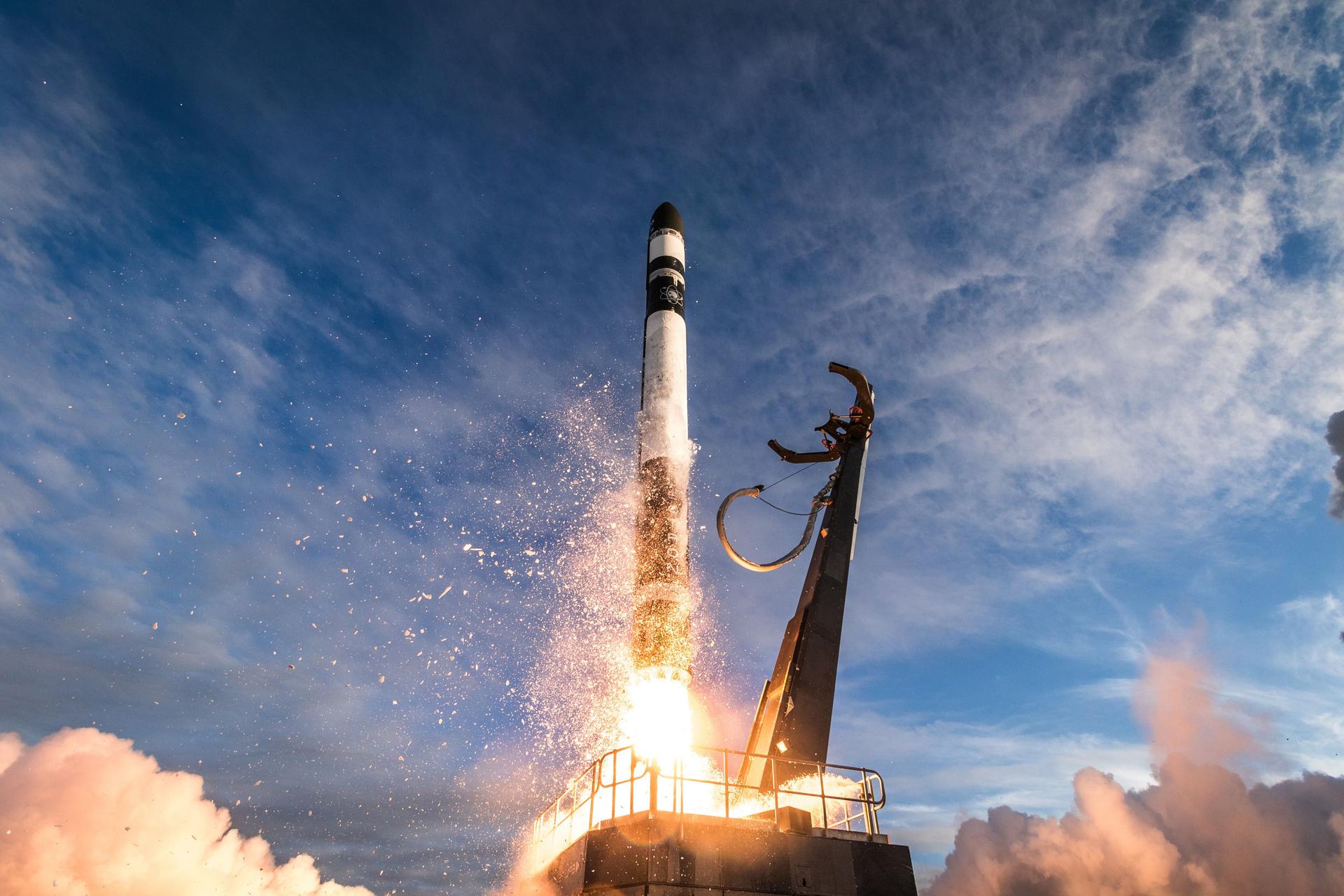