Launch List
API endpoint that returns all Launch objects or a single launch.
EXAMPLE - /launch/
GET: Return a list of all Launch objects.
FILTERS: Fields - 'name', 'id(s)', 'lsp_id', 'lsp_name', 'serial_number', 'launcher_config__id', 'rocket__spacecraftflight__spacecraft__name'
MODE: 'normal', 'list', 'detailed' EXAMPLE: ?mode=list
SEARCH: Searches through the launch name, rocket name, launch agency, mission name & spacecraft name. EXAMPLE - ?search=SpaceX
GET /2.0.0/launch/?format=api&offset=3770&ordering=id
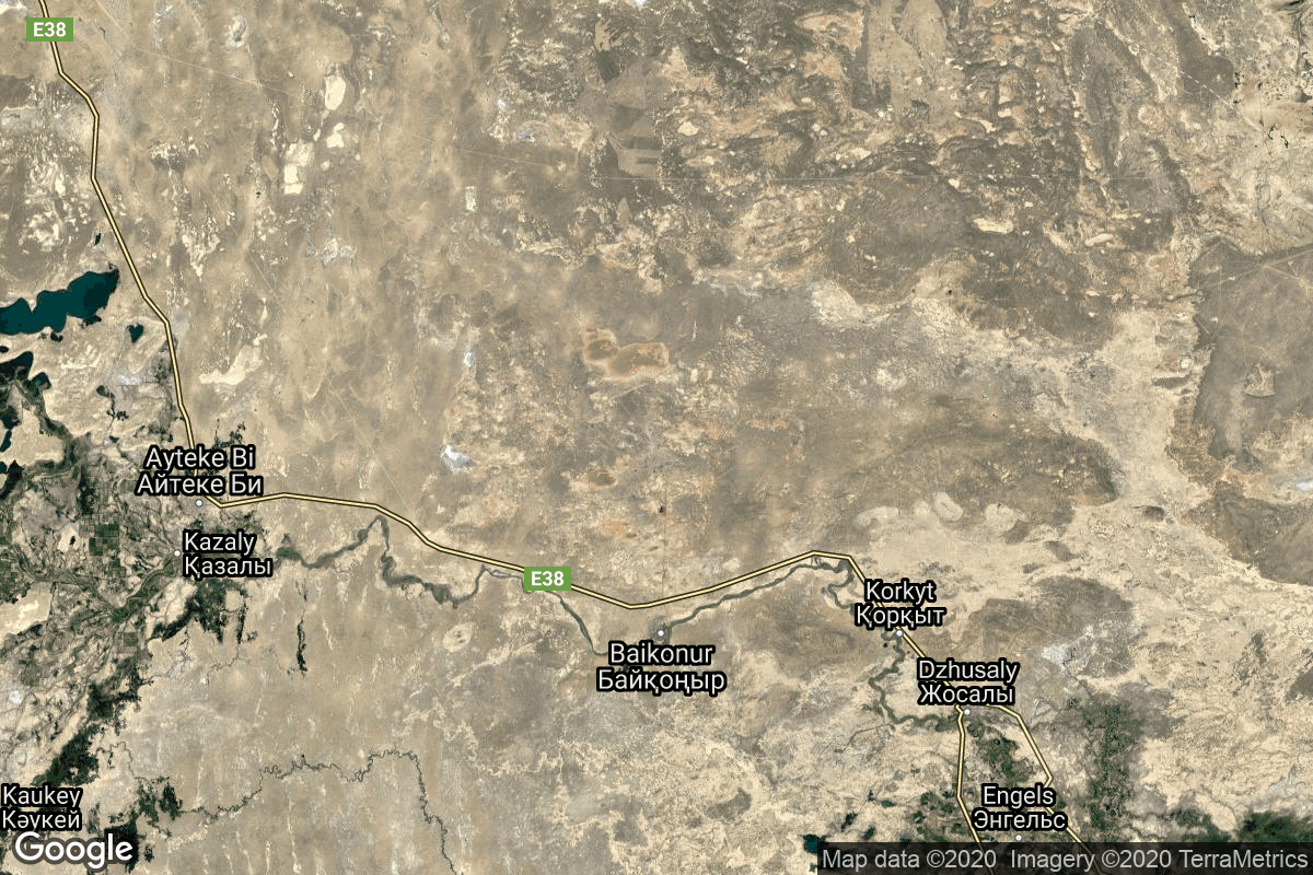
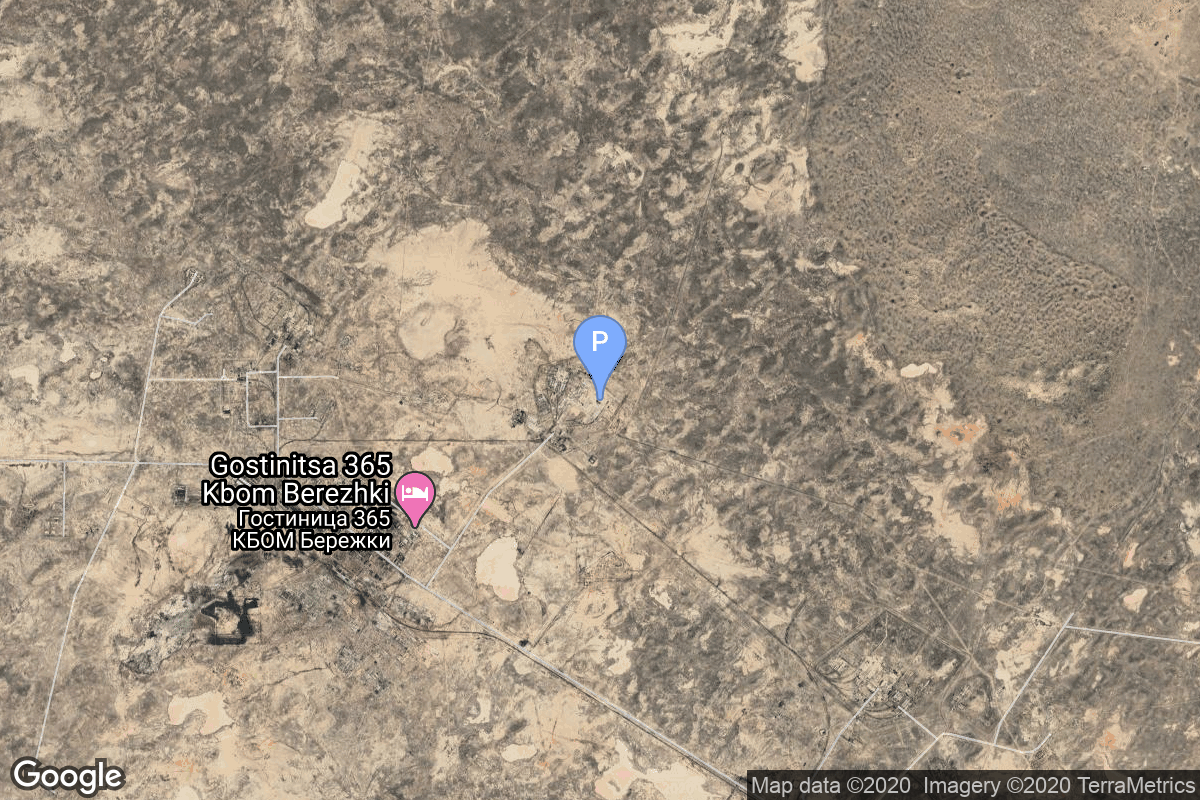
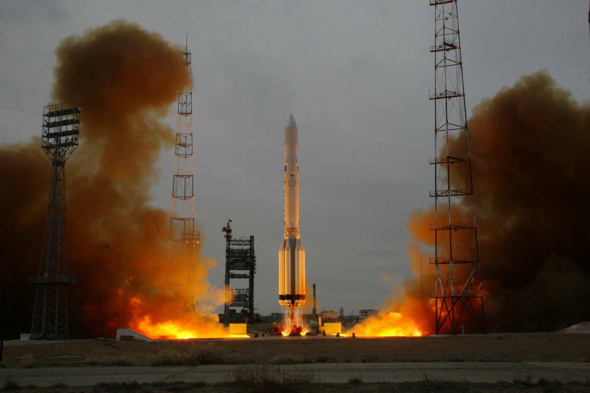
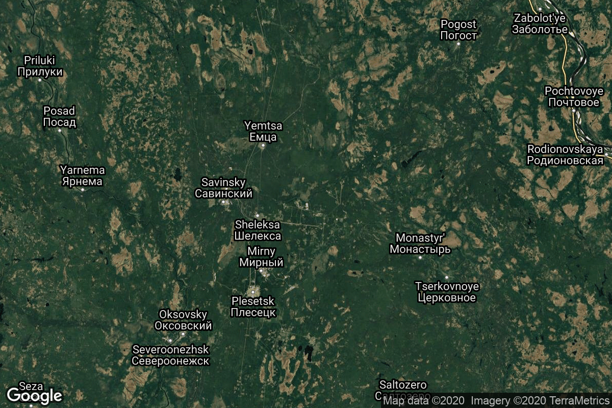
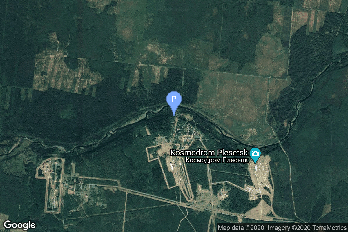
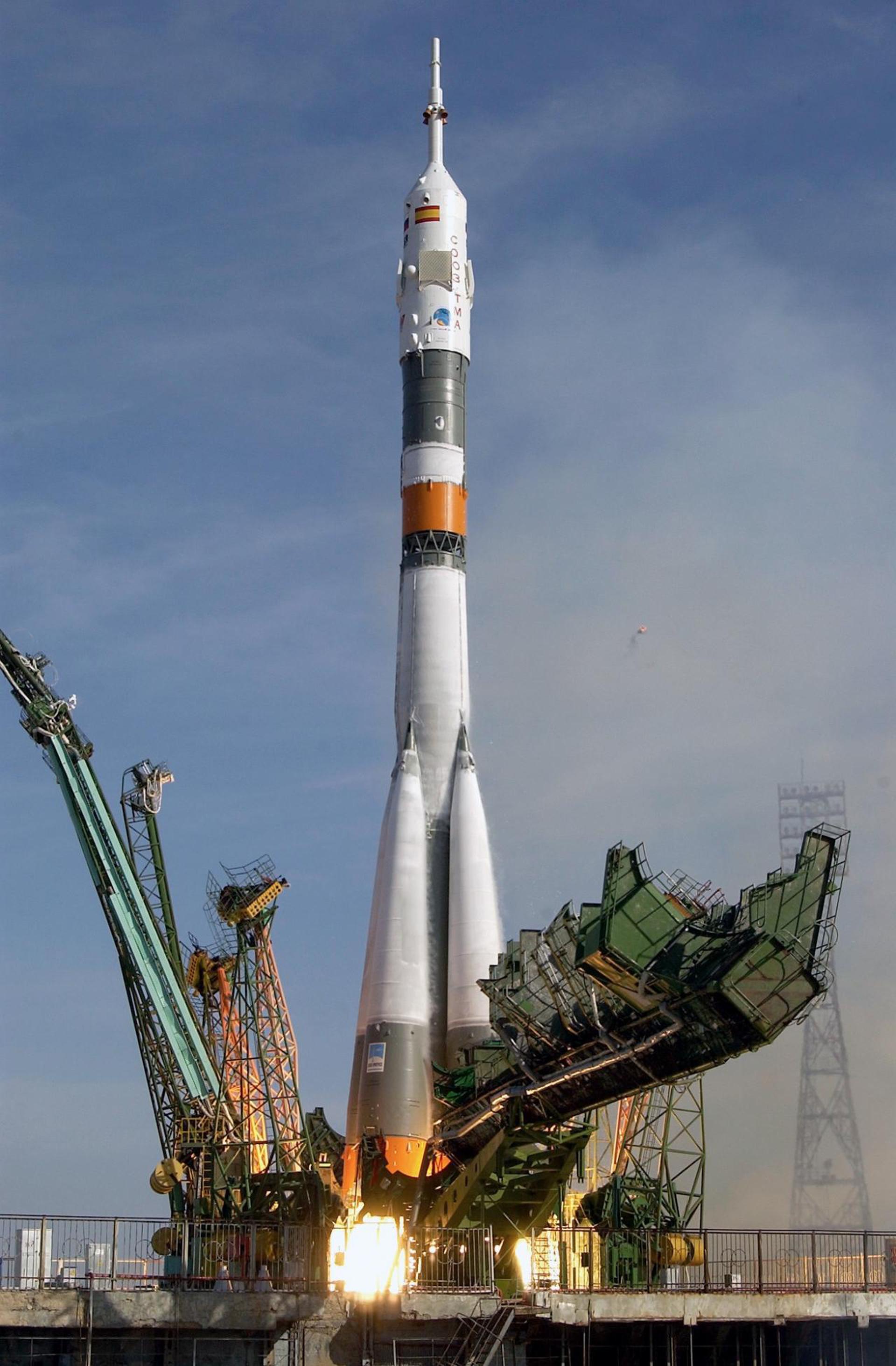
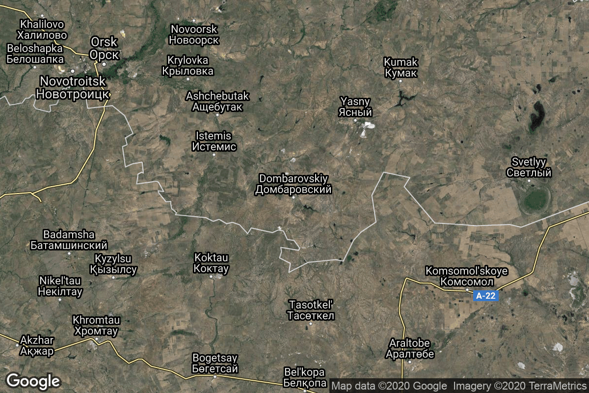
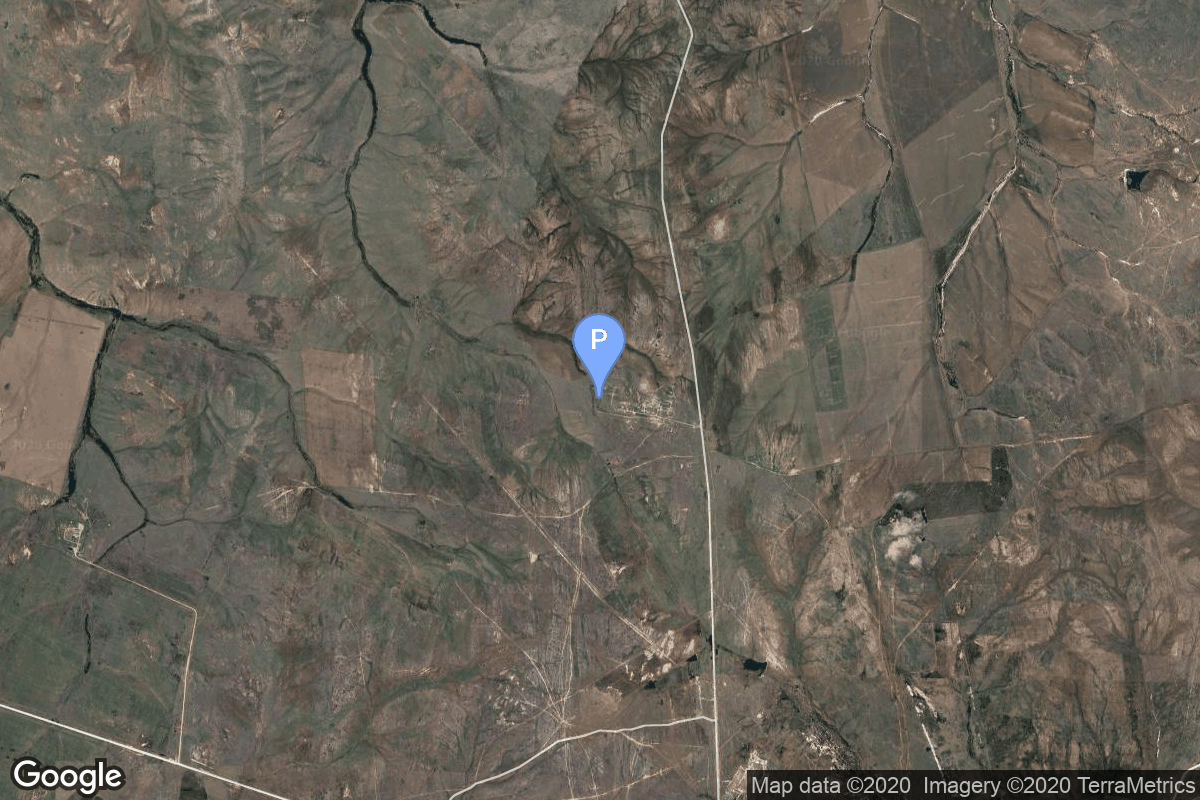
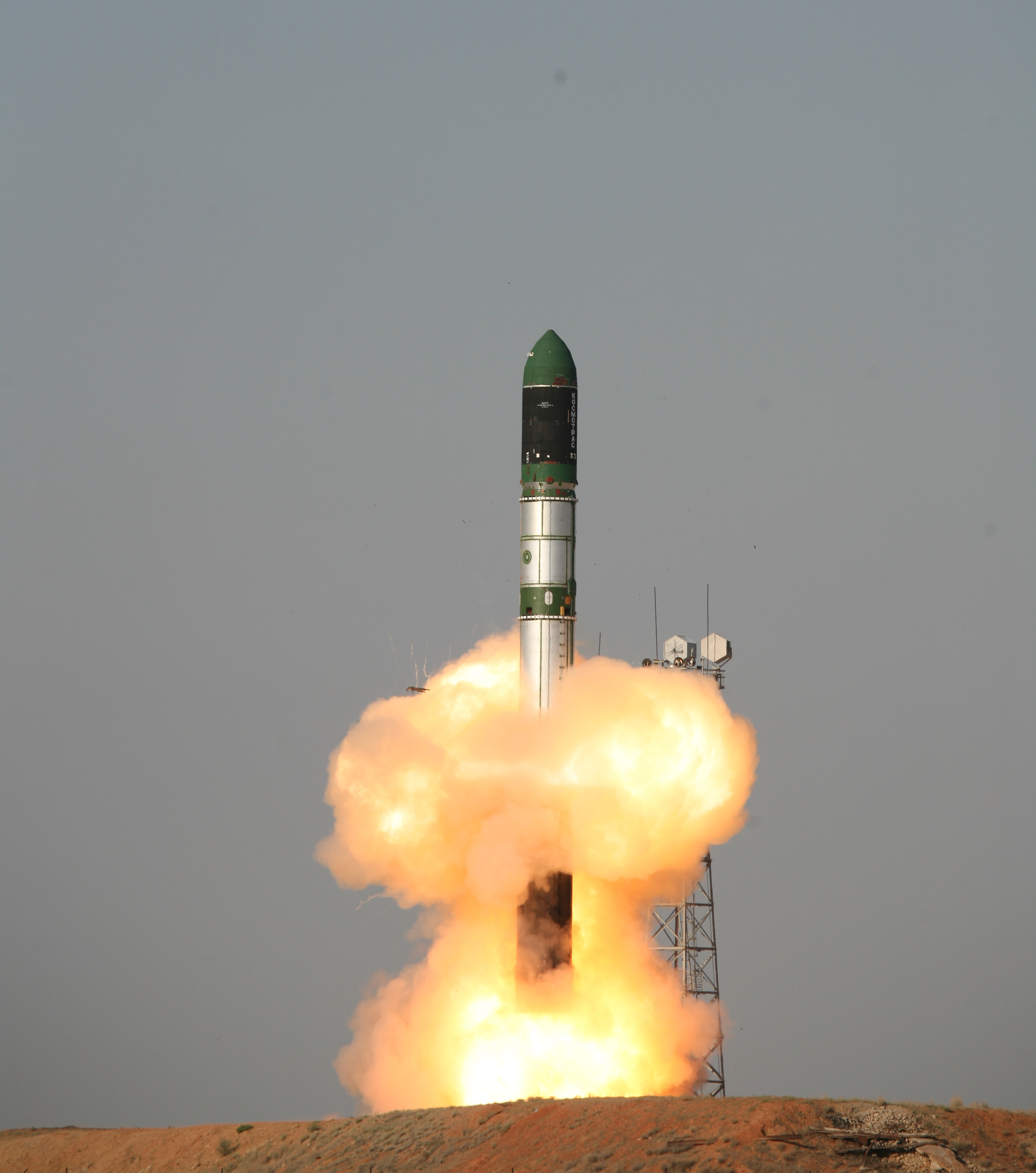
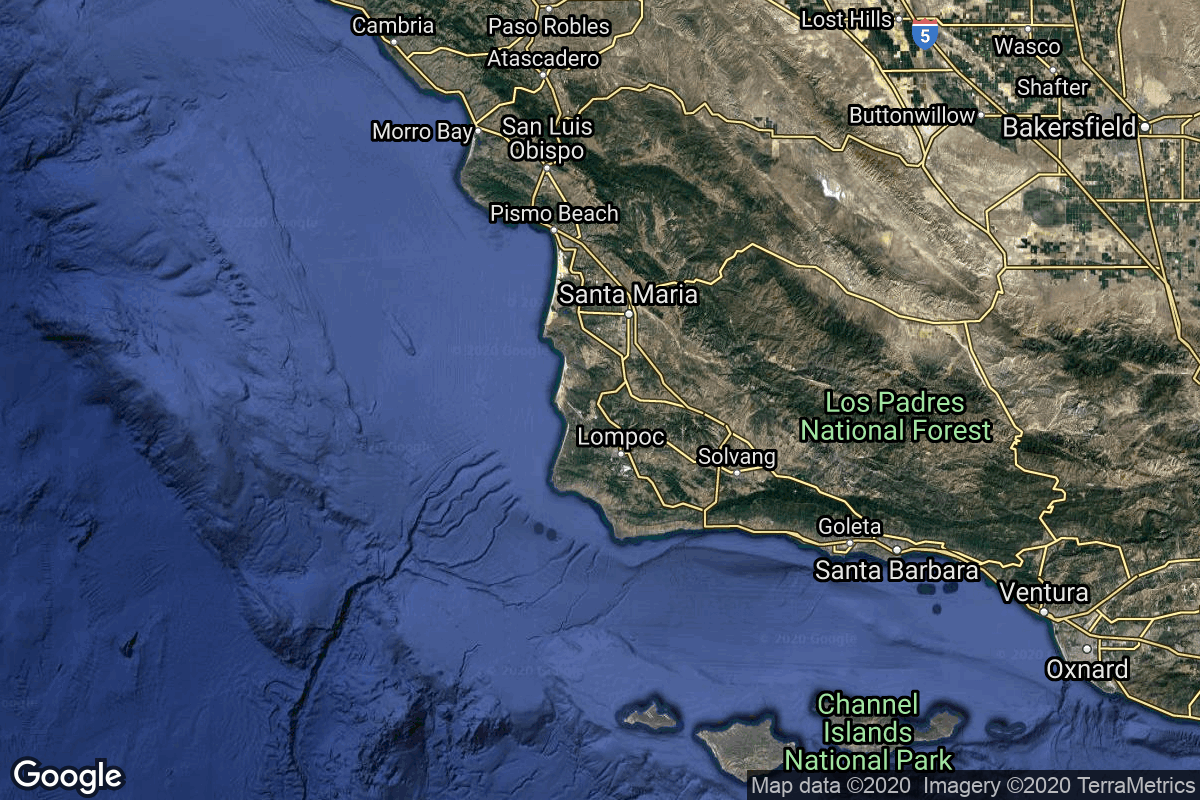
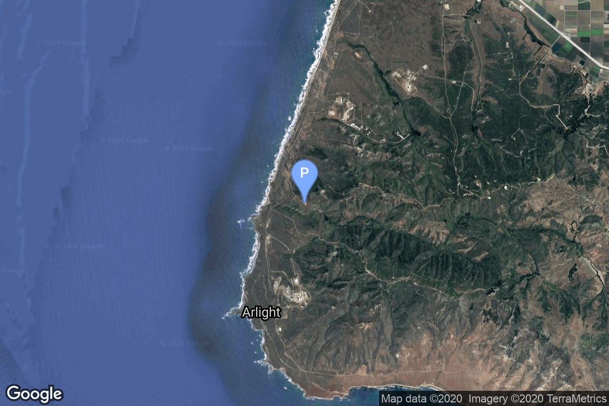
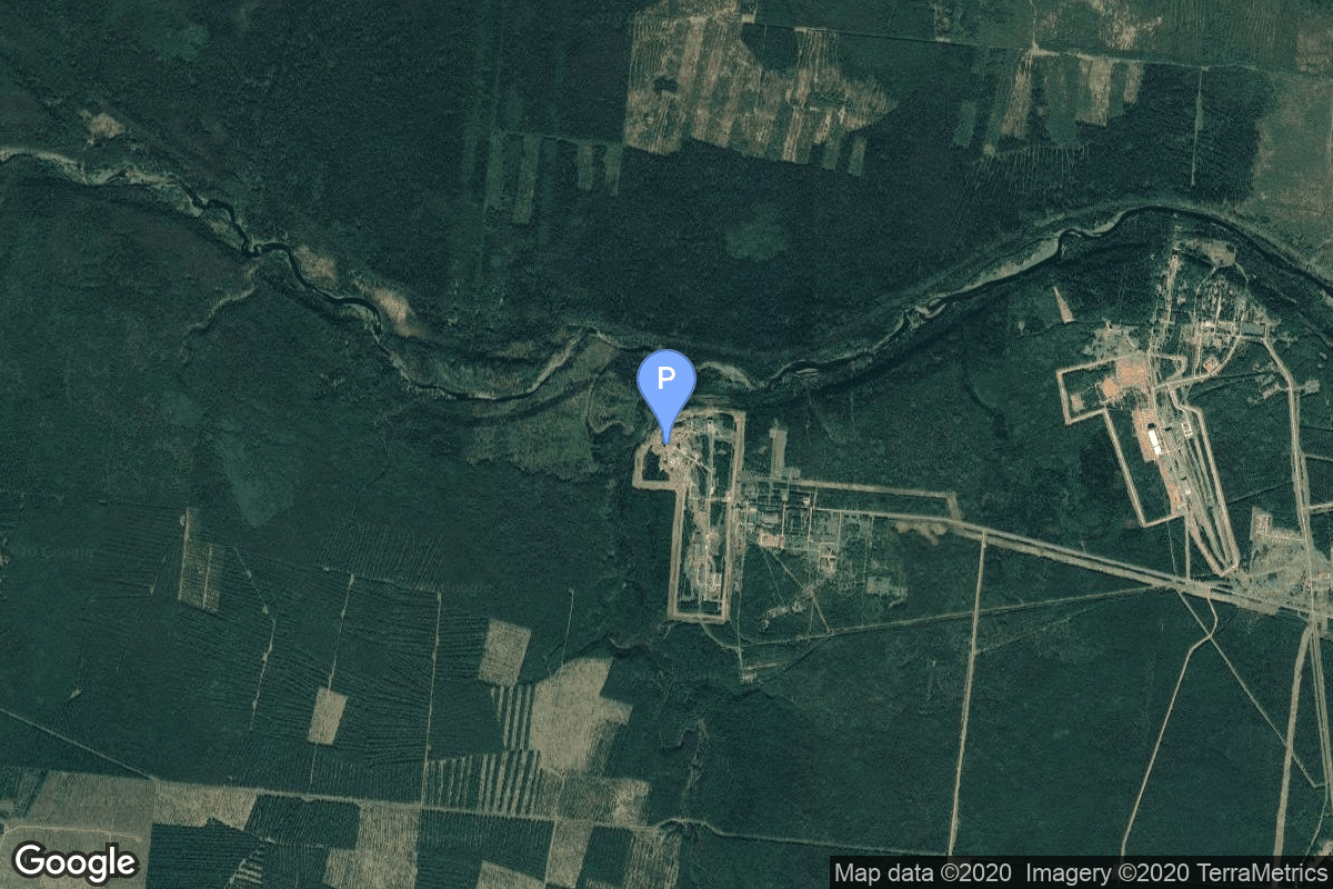
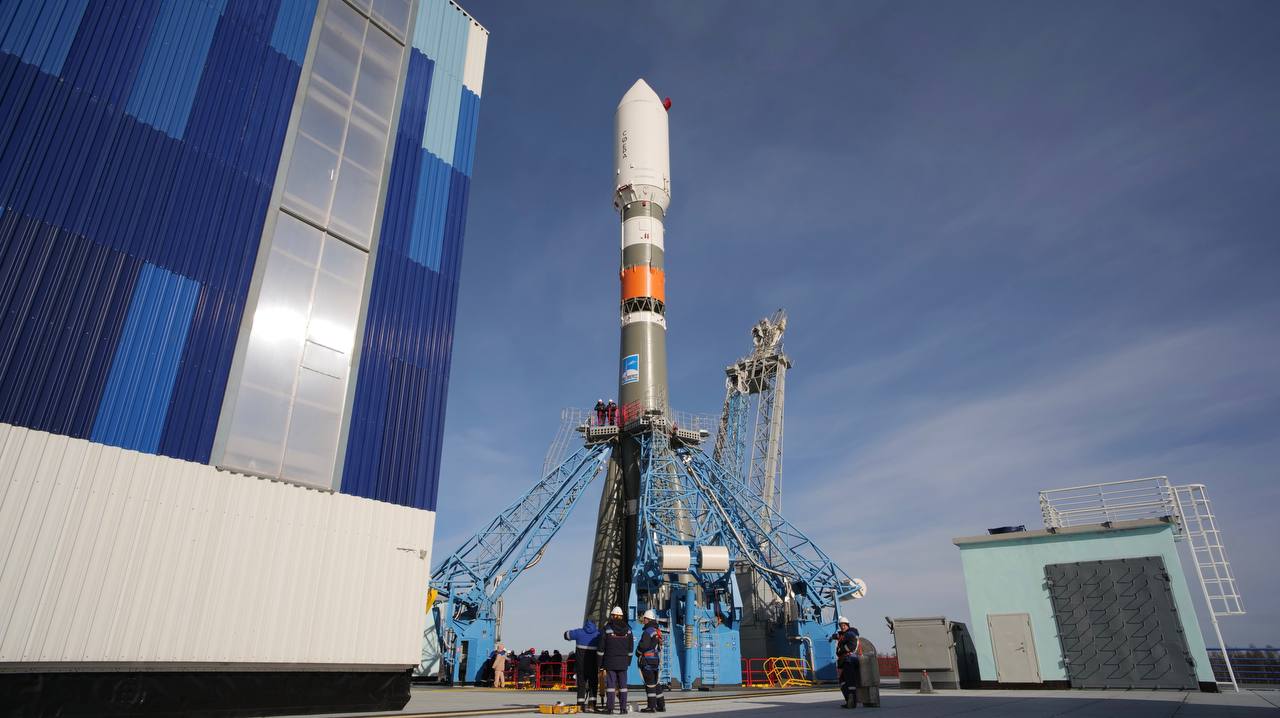
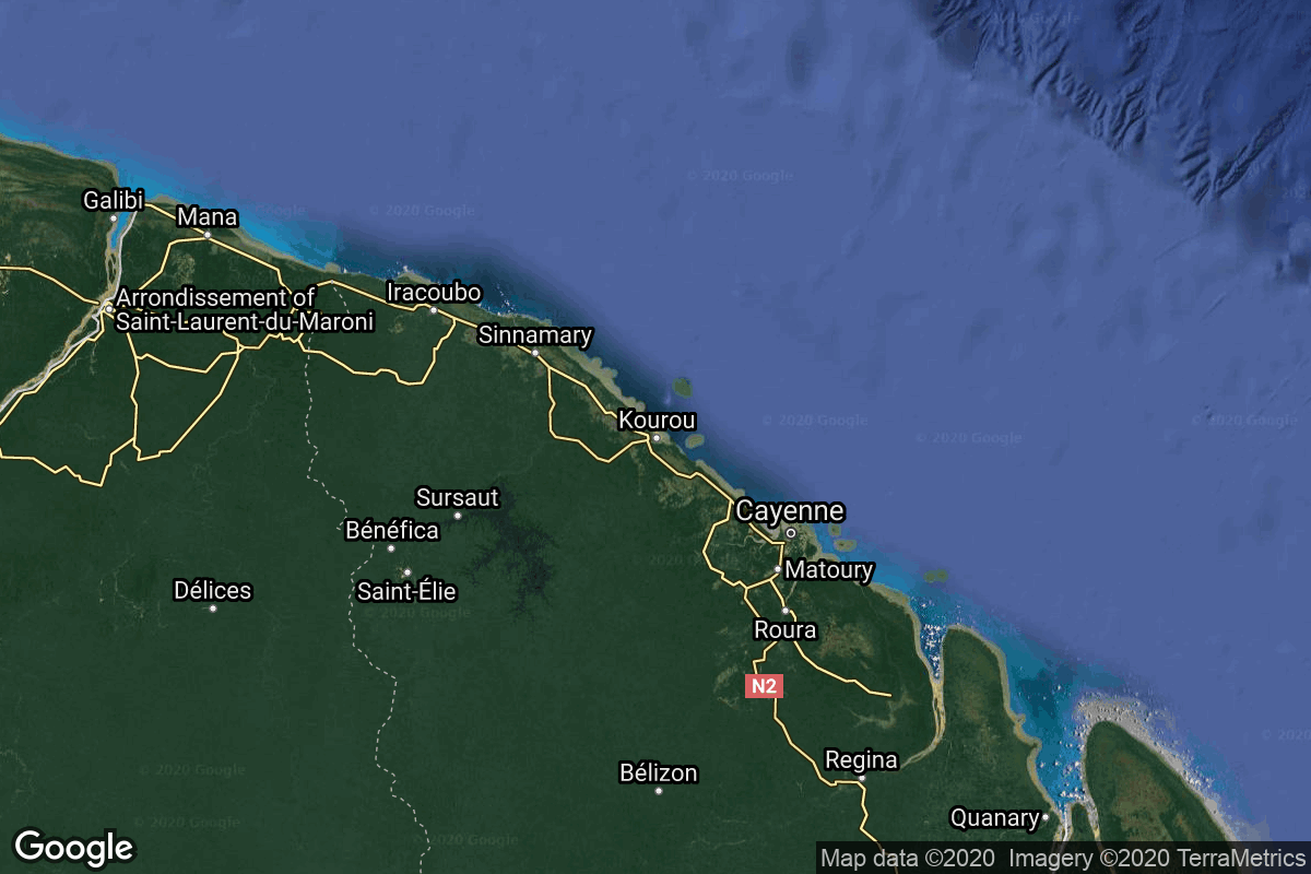
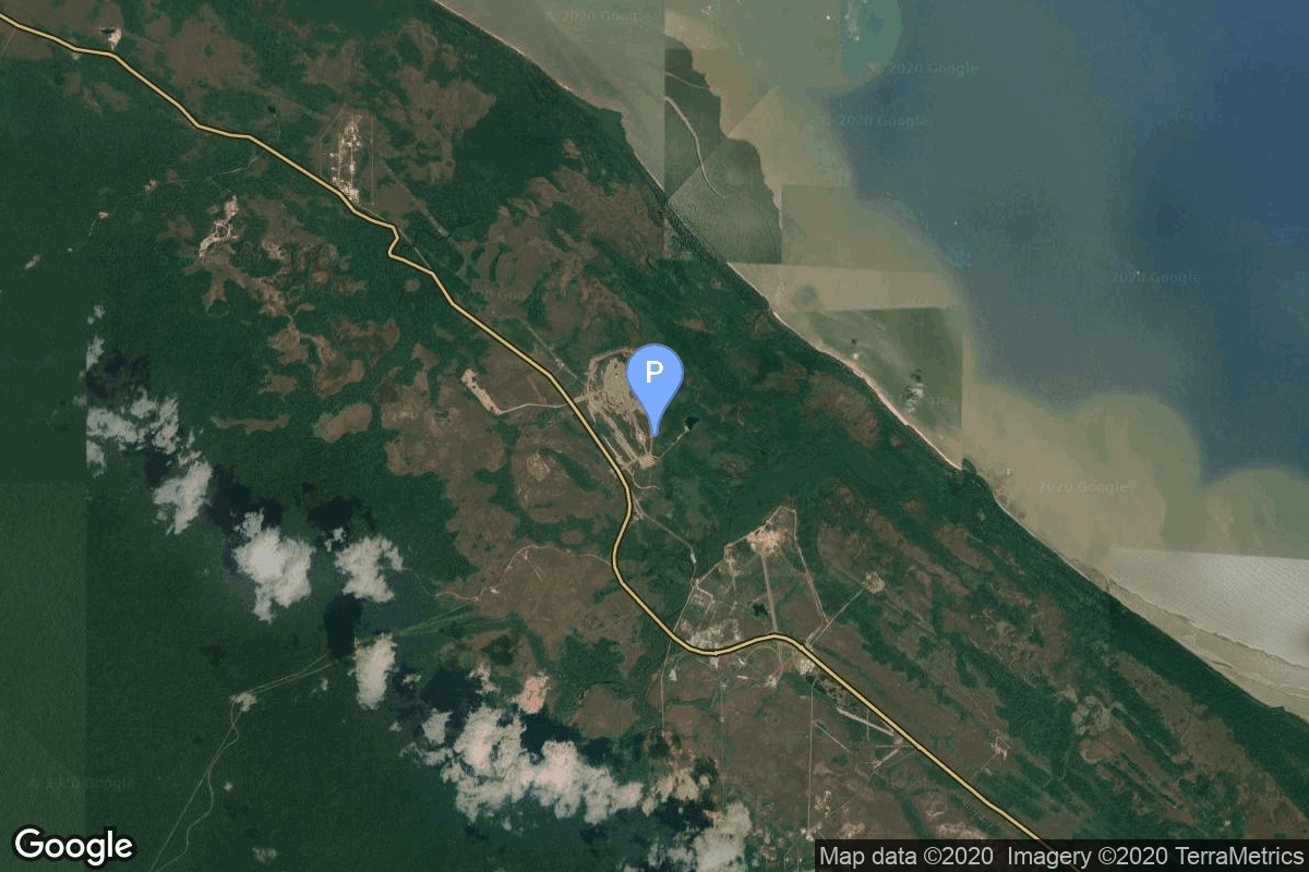
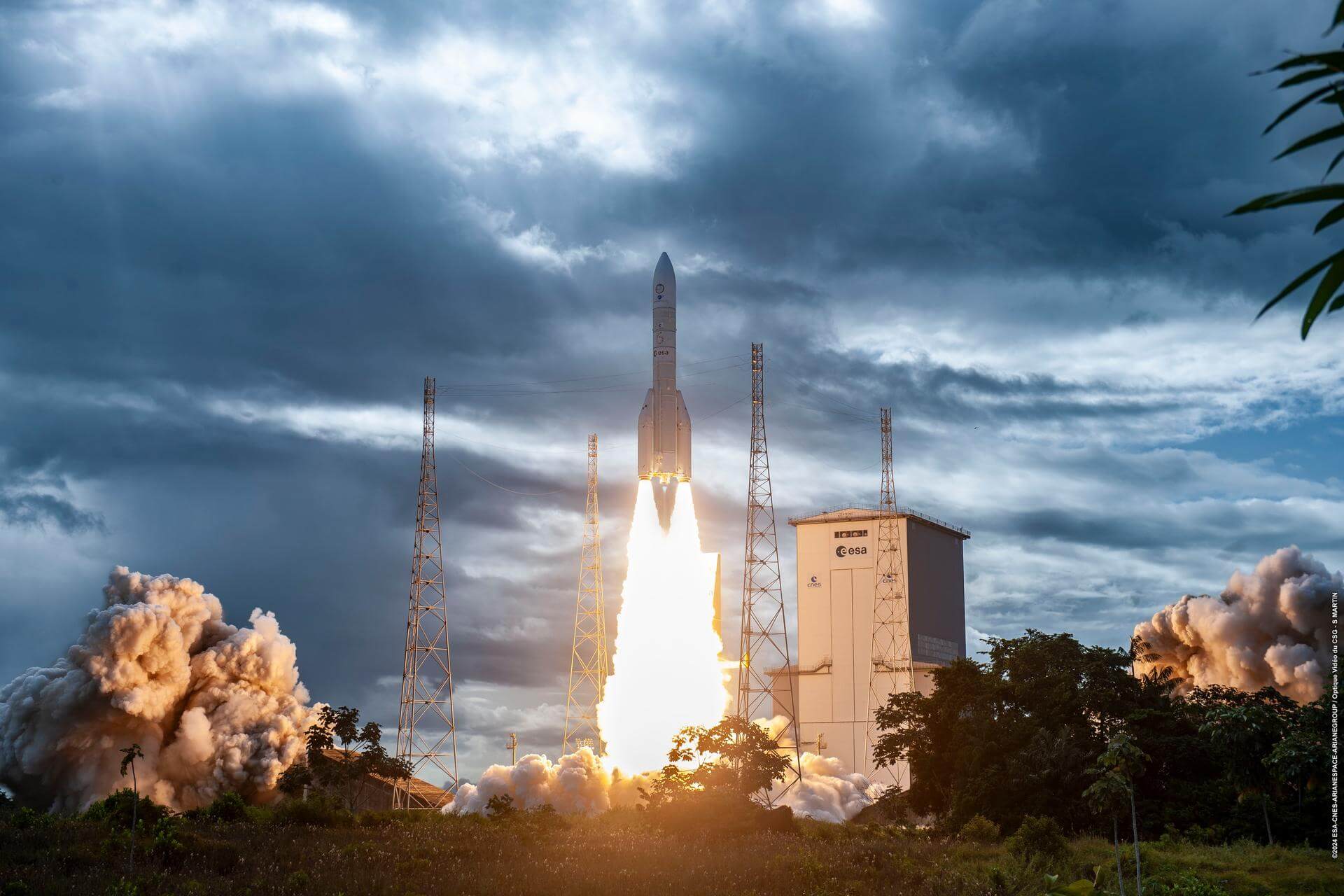
{ "count": 7996, "next": "https://lldev.thespacedevs.com/2.0.0/launch/?format=api&limit=10&offset=3780&ordering=id", "previous": "https://lldev.thespacedevs.com/2.0.0/launch/?format=api&limit=10&offset=3760&ordering=id", "results": [ { "id": "7a94dda9-0bb7-4428-95f6-146cb0ff2b95", "url": "https://lldev.thespacedevs.com/2.0.0/launch/7a94dda9-0bb7-4428-95f6-146cb0ff2b95/?format=api", "launch_library_id": null, "slug": "proton-kdm-ekran", "name": "Proton-K/DM | Ekran", "status": { "id": 3, "name": "Success" }, "net": "1976-10-26T14:50:00Z", "window_end": "1976-10-26T14:50:00Z", "window_start": "1976-10-26T14:50:00Z", "inhold": false, "tbdtime": false, "tbddate": false, "probability": null, "holdreason": "", "failreason": null, "hashtag": null, "launch_service_provider": { "id": 66, "url": "https://lldev.thespacedevs.com/2.0.0/agencies/66/?format=api", "name": "Soviet Space Program", "type": "Government" }, "rocket": { "id": 4769, "configuration": { "id": 349, "launch_library_id": null, "url": "https://lldev.thespacedevs.com/2.0.0/config/launcher/349/?format=api", "name": "Proton-K/DM", "family": "Proton / UR-500", "full_name": "Proton-K/DM", "variant": "DM" } }, "mission": { "id": 3186, "launch_library_id": null, "name": "Ekran", "description": "Ekran was a Soviet series of geostationary satellites which were the first in the world to provide Direct-To-Home TV service.", "launch_designator": null, "type": "Communications", "orbit": { "id": 1, "name": "Geostationary Orbit", "abbrev": "Direct-GEO" } }, "pad": { "id": 7, "url": "https://lldev.thespacedevs.com/2.0.0/pad/7/?format=api", "agency_id": null, "name": "81/24 (81P)", "info_url": null, "wiki_url": "", "map_url": "https://www.google.com/maps?q=46.071001,62.984999", "latitude": "46.071001", "longitude": "62.984999", "location": { "id": 15, "url": "https://lldev.thespacedevs.com/2.0.0/location/15/?format=api", "name": "Baikonur Cosmodrome, Republic of Kazakhstan", "country_code": "KAZ", "map_image": "https://thespacedevs-dev.nyc3.digitaloceanspaces.com/media/map_images/location_15_20200803142517.jpg", "total_launch_count": 1565, "total_landing_count": 0 }, "map_image": "https://thespacedevs-dev.nyc3.digitaloceanspaces.com/media/map_images/pad_7_20200803143454.jpg", "total_launch_count": 93 }, "webcast_live": false, "image": "https://thespacedevs-dev.nyc3.digitaloceanspaces.com/media/images/proton_image_20231231095535.jpg", "infographic": null, "program": [] }, { "id": "7a94f880-8c4a-4c8b-85a1-6399e917cb40", "url": "https://lldev.thespacedevs.com/2.0.0/launch/7a94f880-8c4a-4c8b-85a1-6399e917cb40/?format=api", "launch_library_id": null, "slug": "soyuz-u-resurs-f1-17f41-14l", "name": "Soyuz U | Resurs-F1 17F41 14L", "status": { "id": 3, "name": "Success" }, "net": "1980-09-03T10:20:00Z", "window_end": "1980-09-03T10:20:00Z", "window_start": "1980-09-03T10:20:00Z", "inhold": false, "tbdtime": false, "tbddate": false, "probability": null, "holdreason": "", "failreason": null, "hashtag": null, "launch_service_provider": { "id": 66, "url": "https://lldev.thespacedevs.com/2.0.0/agencies/66/?format=api", "name": "Soviet Space Program", "type": "Government" }, "rocket": { "id": 5203, "configuration": { "id": 37, "launch_library_id": 35, "url": "https://lldev.thespacedevs.com/2.0.0/config/launcher/37/?format=api", "name": "Soyuz U", "family": "Soyuz", "full_name": "Soyuz U", "variant": "" } }, "mission": { "id": 3613, "launch_library_id": null, "name": "Resurs-F1 17F41 14L", "description": "Resurs-F1 (17F41) type film-return Earth observation satellite", "launch_designator": null, "type": "Earth Science", "orbit": { "id": 17, "name": "Sun-Synchronous Orbit", "abbrev": "SSO" } }, "pad": { "id": 168, "url": "https://lldev.thespacedevs.com/2.0.0/pad/168/?format=api", "agency_id": null, "name": "41/1", "info_url": null, "wiki_url": "https://en.wikipedia.org/wiki/Plesetsk_Cosmodrome", "map_url": "https://www.google.com/maps?q=62.941,40.526806", "latitude": "62.941", "longitude": "40.526806", "location": { "id": 6, "url": "https://lldev.thespacedevs.com/2.0.0/location/6/?format=api", "name": "Plesetsk Cosmodrome, Russian Federation", "country_code": "RUS", "map_image": "https://thespacedevs-dev.nyc3.digitaloceanspaces.com/media/map_images/location_6_20200803142434.jpg", "total_launch_count": 1688, "total_landing_count": 0 }, "map_image": "https://thespacedevs-dev.nyc3.digitaloceanspaces.com/media/map_images/pad_168_20200803143446.jpg", "total_launch_count": 310 }, "webcast_live": false, "image": "https://thespacedevs-dev.nyc3.digitaloceanspaces.com/media/images/soyuz2520u_image_20190222031023.jpeg", "infographic": null, "program": [] }, { "id": "7aa1c54a-a698-4daf-ac4c-3b799b40c8b5", "url": "https://lldev.thespacedevs.com/2.0.0/launch/7aa1c54a-a698-4daf-ac4c-3b799b40c8b5/?format=api", "launch_library_id": null, "slug": "dnepr-genesis-2", "name": "Dnepr | Genesis-2", "status": { "id": 3, "name": "Success" }, "net": "2007-06-28T15:02:20Z", "window_end": "2007-06-28T15:02:20Z", "window_start": "2007-06-28T15:02:20Z", "inhold": false, "tbdtime": false, "tbddate": false, "probability": null, "holdreason": "", "failreason": null, "hashtag": null, "launch_service_provider": { "id": 119, "url": "https://lldev.thespacedevs.com/2.0.0/agencies/119/?format=api", "name": "ISC Kosmotras", "type": "Commercial" }, "rocket": { "id": 7320, "configuration": { "id": 31, "launch_library_id": 54, "url": "https://lldev.thespacedevs.com/2.0.0/config/launcher/31/?format=api", "name": "Dnepr", "family": "", "full_name": "Dnepr 1", "variant": "1" } }, "mission": { "id": 5709, "launch_library_id": null, "name": "Genesis-2", "description": "Experimental inflatable space station", "launch_designator": null, "type": "Technology", "orbit": { "id": 8, "name": "Low Earth Orbit", "abbrev": "LEO" } }, "pad": { "id": 182, "url": "https://lldev.thespacedevs.com/2.0.0/pad/182/?format=api", "agency_id": null, "name": "370/11", "info_url": null, "wiki_url": "https://en.wikipedia.org/wiki/Dombarovsky_Air_Base", "map_url": "https://www.google.com/maps?q=51.0938889,59.8400282", "latitude": "51.0938889", "longitude": "59.8400282", "location": { "id": 5, "url": "https://lldev.thespacedevs.com/2.0.0/location/5/?format=api", "name": "Dombarovskiy, Russian Federation", "country_code": "RUS", "map_image": "https://thespacedevs-dev.nyc3.digitaloceanspaces.com/media/map_images/location_5_20200803142425.jpg", "total_launch_count": 10, "total_landing_count": 0 }, "map_image": "https://thespacedevs-dev.nyc3.digitaloceanspaces.com/media/map_images/pad_182_20200803143504.jpg", "total_launch_count": 2 }, "webcast_live": false, "image": "https://thespacedevs-dev.nyc3.digitaloceanspaces.com/media/images/dnepr-1_liftoff_image_20240411092543.jpeg", "infographic": null, "program": [] }, { "id": "7aa56e72-1364-4e2f-b018-83d407c4a9cf", "url": "https://lldev.thespacedevs.com/2.0.0/launch/7aa56e72-1364-4e2f-b018-83d407c4a9cf/?format=api", "launch_library_id": null, "slug": "scout-x-3m-dsap-1-f3", "name": "Scout X-3M | DSAP-1 F3", "status": { "id": 3, "name": "Success" }, "net": "1963-02-19T16:52:00Z", "window_end": "1963-02-19T16:52:00Z", "window_start": "1963-02-19T16:52:00Z", "inhold": false, "tbdtime": false, "tbddate": false, "probability": null, "holdreason": "", "failreason": null, "hashtag": null, "launch_service_provider": { "id": 161, "url": "https://lldev.thespacedevs.com/2.0.0/agencies/161/?format=api", "name": "United States Air Force", "type": "Government" }, "rocket": { "id": 3186, "configuration": { "id": 369, "launch_library_id": null, "url": "https://lldev.thespacedevs.com/2.0.0/config/launcher/369/?format=api", "name": "Scout X-3M", "family": "Scout", "full_name": "Scout X-3M", "variant": "3M" } }, "mission": { "id": 1608, "launch_library_id": null, "name": "DSAP-1 F3", "description": "The DSAP-1 (Defense Satellite Application Program Block 1) satellites series, also known as P-35, was the first series of military meteorologal satellites of the USA.", "launch_designator": null, "type": "Government/Top Secret", "orbit": { "id": 17, "name": "Sun-Synchronous Orbit", "abbrev": "SSO" } }, "pad": { "id": 154, "url": "https://lldev.thespacedevs.com/2.0.0/pad/154/?format=api", "agency_id": null, "name": "Space Launch Complex 5", "info_url": "https://www.astronautix.com/v/vandenbergslc5.html", "wiki_url": "https://en.wikipedia.org/wiki/Vandenberg_Air_Force_Base_Space_Launch_Complex_5", "map_url": "https://www.google.com/maps?q=34.6080,-120.6247", "latitude": "34.608", "longitude": "-120.6247", "location": { "id": 11, "url": "https://lldev.thespacedevs.com/2.0.0/location/11/?format=api", "name": "Vandenberg SFB, CA, USA", "country_code": "USA", "map_image": "https://thespacedevs-dev.nyc3.digitaloceanspaces.com/media/map_images/location_11_20200803142416.jpg", "total_launch_count": 915, "total_landing_count": 35 }, "map_image": "https://thespacedevs-dev.nyc3.digitaloceanspaces.com/media/map_images/pad_154_20200803143408.jpg", "total_launch_count": 69 }, "webcast_live": false, "image": null, "infographic": null, "program": [] }, { "id": "7aaa5d17-97a9-4f70-843a-b13cd03fc84a", "url": "https://lldev.thespacedevs.com/2.0.0/launch/7aaa5d17-97a9-4f70-843a-b13cd03fc84a/?format=api", "launch_library_id": 1244, "slug": "soyuz-21bfregat-m-glonass-m-kosmos-2522", "name": "Soyuz-2.1b/Fregat-M | Glonass-M (Kosmos 2522)", "status": { "id": 3, "name": "Success" }, "net": "2017-09-22T00:02:32Z", "window_end": "2017-09-22T00:02:32Z", "window_start": "2017-09-22T00:02:32Z", "inhold": false, "tbdtime": false, "tbddate": false, "probability": null, "holdreason": "", "failreason": "", "hashtag": null, "launch_service_provider": { "id": 193, "url": "https://lldev.thespacedevs.com/2.0.0/agencies/193/?format=api", "name": "Russian Space Forces", "type": "Government" }, "rocket": { "id": 2030, "configuration": { "id": 134, "launch_library_id": 153, "url": "https://lldev.thespacedevs.com/2.0.0/config/launcher/134/?format=api", "name": "Soyuz 2.1b/Fregat-M", "family": "Soyuz", "full_name": "Soyuz 2.1b Fregat-M", "variant": "Fregat-M" } }, "mission": { "id": 398, "launch_library_id": 511, "name": "Glonass-M (Kosmos 2522)", "description": "Glonass-M, also known as Uragan-M, are the second generation of Uragan satellite design used for GLONASS satellite navigation system. GLONASS is a Russian space-based navigation system comparable to the similar GPS and Galileo systems. This generation improves on accuracy, power consumption and design life. Each satellite weighs 1415 kg, is equipped with 12 L-band antennas, and has an operational lifetime of 7 years.", "launch_designator": null, "type": "Navigation", "orbit": { "id": 12, "name": "Medium Earth Orbit", "abbrev": "MEO" } }, "pad": { "id": 36, "url": "https://lldev.thespacedevs.com/2.0.0/pad/36/?format=api", "agency_id": 163, "name": "43/3 (43L)", "info_url": null, "wiki_url": null, "map_url": "https://www.google.com/maps?q=62.9273,40.45", "latitude": "62.9273", "longitude": "40.45", "location": { "id": 6, "url": "https://lldev.thespacedevs.com/2.0.0/location/6/?format=api", "name": "Plesetsk Cosmodrome, Russian Federation", "country_code": "RUS", "map_image": "https://thespacedevs-dev.nyc3.digitaloceanspaces.com/media/map_images/location_6_20200803142434.jpg", "total_launch_count": 1688, "total_landing_count": 0 }, "map_image": "https://thespacedevs-dev.nyc3.digitaloceanspaces.com/media/map_images/pad_36_20200803143534.jpg", "total_launch_count": 234 }, "webcast_live": false, "image": "https://thespacedevs-dev.nyc3.digitaloceanspaces.com/media/images/soyuz_2.1b_image_20230802085331.jpg", "infographic": null, "program": [ { "id": 34, "url": "https://lldev.thespacedevs.com/2.0.0/program/34/?format=api", "name": "GLONASS", "description": "GLONASS (ГЛОНАСС, IPA: [ɡɫɐˈnas]; Russian: Глобальная навигационная спутниковая система, tr. Global'naya Navigatsionnaya Sputnikovaya Sistema, lit. 'Global Navigation Satellite System') is a Russian satellite navigation system operating as part of a radionavigation-satellite service. It provides an alternative to Global Positioning System (GPS) and is the second navigational system in operation with global coverage and of comparable precision.", "agencies": [ { "id": 63, "url": "https://lldev.thespacedevs.com/2.0.0/agencies/63/?format=api", "name": "Russian Federal Space Agency (ROSCOSMOS)", "type": "Government" } ], "image_url": "https://thespacedevs-dev.nyc3.digitaloceanspaces.com/media/images/glonass_program_20240102170258.png", "start_date": "1982-10-12T00:00:00Z", "end_date": null, "info_url": "https://www.glonass-iac.ru/en/", "wiki_url": "https://en.wikipedia.org/wiki/GLONASS" } ] }, { "id": "7aace903-6d9b-4905-87dc-58736ab0d01e", "url": "https://lldev.thespacedevs.com/2.0.0/launch/7aace903-6d9b-4905-87dc-58736ab0d01e/?format=api", "launch_library_id": null, "slug": "ariane-62-metop-sg-b2", "name": "Ariane 62 | Metop-SG B2", "status": { "id": 2, "name": "TBD" }, "net": "2033-03-31T00:00:00Z", "window_end": "2033-03-31T00:00:00Z", "window_start": "2033-03-31T00:00:00Z", "inhold": false, "tbdtime": true, "tbddate": true, "probability": null, "holdreason": "", "failreason": "", "hashtag": null, "launch_service_provider": { "id": 115, "url": "https://lldev.thespacedevs.com/2.0.0/agencies/115/?format=api", "name": "Arianespace", "type": "Commercial" }, "rocket": { "id": 7708, "configuration": { "id": 121, "launch_library_id": 164, "url": "https://lldev.thespacedevs.com/2.0.0/config/launcher/121/?format=api", "name": "Ariane 62", "family": "Ariane", "full_name": "Ariane 62", "variant": "62" } }, "mission": { "id": 6226, "launch_library_id": null, "name": "Metop-SG B2", "description": "Fourth of EUMETSAT's second generation of Metop weather satellites.", "launch_designator": null, "type": "Earth Science", "orbit": { "id": 17, "name": "Sun-Synchronous Orbit", "abbrev": "SSO" } }, "pad": { "id": 67, "url": "https://lldev.thespacedevs.com/2.0.0/pad/67/?format=api", "agency_id": 115, "name": "Ariane Launch Area 4", "info_url": null, "wiki_url": "https://en.wikipedia.org/wiki/Guiana_Space_Centre", "map_url": "https://www.google.com/maps?q=5.256319,-52.786838", "latitude": "5.256319", "longitude": "-52.786838", "location": { "id": 13, "url": "https://lldev.thespacedevs.com/2.0.0/location/13/?format=api", "name": "Guiana Space Centre, French Guiana", "country_code": "GUF", "map_image": "https://thespacedevs-dev.nyc3.digitaloceanspaces.com/media/map_images/location_13_20200803142412.jpg", "total_launch_count": 336, "total_landing_count": 0 }, "map_image": "https://thespacedevs-dev.nyc3.digitaloceanspaces.com/media/map_images/pad_67_20200803143559.jpg", "total_launch_count": 9 }, "webcast_live": false, "image": "https://thespacedevs-dev.nyc3.digitaloceanspaces.com/media/images/ariane_62_lifto_image_20240711132056.jpeg", "infographic": null, "program": [] }, { "id": "7ab310ea-28d5-4c58-9bfd-ae9aefc40c20", "url": "https://lldev.thespacedevs.com/2.0.0/launch/7ab310ea-28d5-4c58-9bfd-ae9aefc40c20/?format=api", "launch_library_id": null, "slug": "thor-able-iii-explorer-6", "name": "Thor Able III | Explorer 6", "status": { "id": 3, "name": "Success" }, "net": "1959-08-07T14:24:20Z", "window_end": "1959-08-07T14:24:20Z", "window_start": "1959-08-07T14:24:20Z", "inhold": false, "tbdtime": false, "tbddate": false, "probability": null, "holdreason": "", "failreason": null, "hashtag": null, "launch_service_provider": { "id": 161, "url": "https://lldev.thespacedevs.com/2.0.0/agencies/161/?format=api", "name": "United States Air Force", "type": "Government" }, "rocket": { "id": 3045, "configuration": { "id": 390, "launch_library_id": null, "url": "https://lldev.thespacedevs.com/2.0.0/config/launcher/390/?format=api", "name": "Thor Able III", "family": "Thor", "full_name": "Thor Able III", "variant": "Able III" } }, "mission": { "id": 1467, "launch_library_id": null, "name": "Explorer 6", "description": "Explorer 6 was an American satellite designed to study trapped radiation of various energies, galactic cosmic rays, geomagnetism, radio propagation and the flux of micrometeorites. It also tested a scanning device designed for photographing the Earth's cloud cover, and transmitted the first pictures of Earth from a satellite.", "launch_designator": null, "type": "Earth Science", "orbit": { "id": 0, "name": "Elliptical Orbit", "abbrev": "Elliptical" } }, "pad": { "id": 14, "url": "https://lldev.thespacedevs.com/2.0.0/pad/14/?format=api", "agency_id": null, "name": "Space Launch Complex 17A", "info_url": null, "wiki_url": "https://en.wikipedia.org/wiki/Cape_Canaveral_Space_Launch_Complex_17", "map_url": "https://www.google.com/maps?q=28.4472,-80.565", "latitude": "28.4472", "longitude": "-80.565", "location": { "id": 12, "url": "https://lldev.thespacedevs.com/2.0.0/location/12/?format=api", "name": "Cape Canaveral SFS, FL, USA", "country_code": "USA", "map_image": "https://thespacedevs-dev.nyc3.digitaloceanspaces.com/media/map_images/location_12_20200803142519.jpg", "total_launch_count": 1129, "total_landing_count": 79 }, "map_image": "https://thespacedevs-dev.nyc3.digitaloceanspaces.com/media/map_images/pad_14_20200803143451.jpg", "total_launch_count": 145 }, "webcast_live": false, "image": null, "infographic": null, "program": [] }, { "id": "7abd2e55-aee8-42f5-8eb2-b44dfda45708", "url": "https://lldev.thespacedevs.com/2.0.0/launch/7abd2e55-aee8-42f5-8eb2-b44dfda45708/?format=api", "launch_library_id": null, "slug": "falcon-9-block-5-gps-iii-sv08", "name": "Falcon 9 Block 5 | GPS III SV08", "status": { "id": 3, "name": "Success" }, "net": "2025-05-30T17:37:59Z", "window_end": "2025-05-30T17:38:00Z", "window_start": "2025-05-30T17:23:00Z", "inhold": false, "tbdtime": false, "tbddate": false, "probability": 50, "holdreason": "", "failreason": "", "hashtag": null, "launch_service_provider": { "id": 121, "url": "https://lldev.thespacedevs.com/2.0.0/agencies/121/?format=api", "name": "SpaceX", "type": "Commercial" }, "rocket": { "id": 7590, "configuration": { "id": 164, "launch_library_id": 188, "url": "https://lldev.thespacedevs.com/2.0.0/config/launcher/164/?format=api", "name": "Falcon 9", "family": "Falcon", "full_name": "Falcon 9 Block 5", "variant": "Block 5" } }, "mission": { "id": 6032, "launch_library_id": null, "name": "GPS III SV08", "description": "Eighth of ten GPS III missions.", "launch_designator": null, "type": "Navigation", "orbit": { "id": 12, "name": "Medium Earth Orbit", "abbrev": "MEO" } }, "pad": { "id": 80, "url": "https://lldev.thespacedevs.com/2.0.0/pad/80/?format=api", "agency_id": 121, "name": "Space Launch Complex 40", "info_url": null, "wiki_url": "https://en.wikipedia.org/wiki/Cape_Canaveral_Air_Force_Station_Space_Launch_Complex_40", "map_url": "https://www.google.com/maps?q=28.56194122,-80.57735736", "latitude": "28.56194122", "longitude": "-80.57735736", "location": { "id": 12, "url": "https://lldev.thespacedevs.com/2.0.0/location/12/?format=api", "name": "Cape Canaveral SFS, FL, USA", "country_code": "USA", "map_image": "https://thespacedevs-dev.nyc3.digitaloceanspaces.com/media/map_images/location_12_20200803142519.jpg", "total_launch_count": 1129, "total_landing_count": 79 }, "map_image": "https://thespacedevs-dev.nyc3.digitaloceanspaces.com/media/map_images/pad_80_20200803143323.jpg", "total_launch_count": 401 }, "webcast_live": false, "image": "https://thespacedevs-dev.nyc3.digitaloceanspaces.com/media/images/falcon_9_liftof_image_20250530202015.jpeg", "infographic": null, "program": [ { "id": 29, "url": "https://lldev.thespacedevs.com/2.0.0/program/29/?format=api", "name": "Global Positioning System", "description": "The Global Positioning System (GPS), originally Navstar GPS, is a satellite-based radio navigation system owned by the United States government and operated by the United States Space Force. It is one of the global navigation satellite systems (GNSS) that provide geolocation and time information to a GPS receiver anywhere on or near the Earth where there is an unobstructed line of sight to four or more GPS satellites.", "agencies": [ { "id": 1041, "url": "https://lldev.thespacedevs.com/2.0.0/agencies/1041/?format=api", "name": "United States Space Force", "type": "Government" } ], "image_url": "https://thespacedevs-dev.nyc3.digitaloceanspaces.com/media/images/global2520posi_program_20231229182501.png", "start_date": "1978-02-22T00:00:00Z", "end_date": null, "info_url": "https://www.gps.gov/", "wiki_url": "https://en.wikipedia.org/wiki/Global_Positioning_System" } ] }, { "id": "7abed7cf-42cf-40c0-84c0-bb4a1f7030b7", "url": "https://lldev.thespacedevs.com/2.0.0/launch/7abed7cf-42cf-40c0-84c0-bb4a1f7030b7/?format=api", "launch_library_id": null, "slug": "thor-delta-g-biosat-1", "name": "Thor Delta G | Biosat 1", "status": { "id": 3, "name": "Success" }, "net": "1966-12-14T19:20:03Z", "window_end": "1966-12-14T19:20:03Z", "window_start": "1966-12-14T19:20:03Z", "inhold": false, "tbdtime": false, "tbddate": false, "probability": null, "holdreason": "", "failreason": null, "hashtag": null, "launch_service_provider": { "id": 161, "url": "https://lldev.thespacedevs.com/2.0.0/agencies/161/?format=api", "name": "United States Air Force", "type": "Government" }, "rocket": { "id": 3602, "configuration": { "id": 406, "launch_library_id": null, "url": "https://lldev.thespacedevs.com/2.0.0/config/launcher/406/?format=api", "name": "Thor Delta G", "family": "Thor", "full_name": "Thor Delta G", "variant": "Delta G" } }, "mission": { "id": 2021, "launch_library_id": null, "name": "Biosat 1", "description": "The objectives of the Biosatellite, a.k.a. Biosat, Bios (Biological Satellite), were to determine the biological effects of the space environment upon daily rhythms of living organisms and to obtain and analyze available data on the performance in orbit of life support, altitude control, and other spacecraft systems, including instrumentation for recording biological data.", "launch_designator": null, "type": "Biology", "orbit": { "id": 8, "name": "Low Earth Orbit", "abbrev": "LEO" } }, "pad": { "id": 14, "url": "https://lldev.thespacedevs.com/2.0.0/pad/14/?format=api", "agency_id": null, "name": "Space Launch Complex 17A", "info_url": null, "wiki_url": "https://en.wikipedia.org/wiki/Cape_Canaveral_Space_Launch_Complex_17", "map_url": "https://www.google.com/maps?q=28.4472,-80.565", "latitude": "28.4472", "longitude": "-80.565", "location": { "id": 12, "url": "https://lldev.thespacedevs.com/2.0.0/location/12/?format=api", "name": "Cape Canaveral SFS, FL, USA", "country_code": "USA", "map_image": "https://thespacedevs-dev.nyc3.digitaloceanspaces.com/media/map_images/location_12_20200803142519.jpg", "total_launch_count": 1129, "total_landing_count": 79 }, "map_image": "https://thespacedevs-dev.nyc3.digitaloceanspaces.com/media/map_images/pad_14_20200803143451.jpg", "total_launch_count": 145 }, "webcast_live": false, "image": "https://thespacedevs-dev.nyc3.digitaloceanspaces.com/media/images/launch_of_a_del_image_20251214194405.png", "infographic": null, "program": [] }, { "id": "7ac47682-d6f5-4170-8559-316f2378aac8", "url": "https://lldev.thespacedevs.com/2.0.0/launch/7ac47682-d6f5-4170-8559-316f2378aac8/?format=api", "launch_library_id": null, "slug": "delta-3914-satcom-2", "name": "Delta 3914 | Satcom 2", "status": { "id": 3, "name": "Success" }, "net": "1976-03-26T22:47:00Z", "window_end": "1976-03-26T22:47:00Z", "window_start": "1976-03-26T22:47:00Z", "inhold": false, "tbdtime": false, "tbddate": false, "probability": null, "holdreason": "", "failreason": null, "hashtag": null, "launch_service_provider": { "id": 161, "url": "https://lldev.thespacedevs.com/2.0.0/agencies/161/?format=api", "name": "United States Air Force", "type": "Government" }, "rocket": { "id": 4692, "configuration": { "id": 291, "launch_library_id": null, "url": "https://lldev.thespacedevs.com/2.0.0/config/launcher/291/?format=api", "name": "Delta 3914", "family": "Delta", "full_name": "Delta 3914", "variant": "3914" } }, "mission": { "id": 3110, "launch_library_id": null, "name": "Satcom 2", "description": "First generation geostationary communication satellite built for RCA Americom", "launch_designator": null, "type": "Communications", "orbit": { "id": 1, "name": "Geostationary Orbit", "abbrev": "Direct-GEO" } }, "pad": { "id": 14, "url": "https://lldev.thespacedevs.com/2.0.0/pad/14/?format=api", "agency_id": null, "name": "Space Launch Complex 17A", "info_url": null, "wiki_url": "https://en.wikipedia.org/wiki/Cape_Canaveral_Space_Launch_Complex_17", "map_url": "https://www.google.com/maps?q=28.4472,-80.565", "latitude": "28.4472", "longitude": "-80.565", "location": { "id": 12, "url": "https://lldev.thespacedevs.com/2.0.0/location/12/?format=api", "name": "Cape Canaveral SFS, FL, USA", "country_code": "USA", "map_image": "https://thespacedevs-dev.nyc3.digitaloceanspaces.com/media/map_images/location_12_20200803142519.jpg", "total_launch_count": 1129, "total_landing_count": 79 }, "map_image": "https://thespacedevs-dev.nyc3.digitaloceanspaces.com/media/map_images/pad_14_20200803143451.jpg", "total_launch_count": 145 }, "webcast_live": false, "image": "https://thespacedevs-dev.nyc3.digitaloceanspaces.com/media/images/delta_3910_image_20231231105538.jpeg", "infographic": null, "program": [] } ] }