Launch List
API endpoint that returns all Launch objects or a single launch.
EXAMPLE - /launch/
GET: Return a list of all Launch objects.
FILTERS: Fields - 'name', 'id(s)', 'lsp_id', 'lsp_name', 'serial_number', 'launcher_config__id', 'rocket__spacecraftflight__spacecraft__name'
MODE: 'normal', 'list', 'detailed' EXAMPLE: ?mode=list
SEARCH: Searches through the launch name, rocket name, launch agency, mission name & spacecraft name. EXAMPLE - ?search=SpaceX
GET /2.0.0/launch/?format=api&offset=360&ordering=net
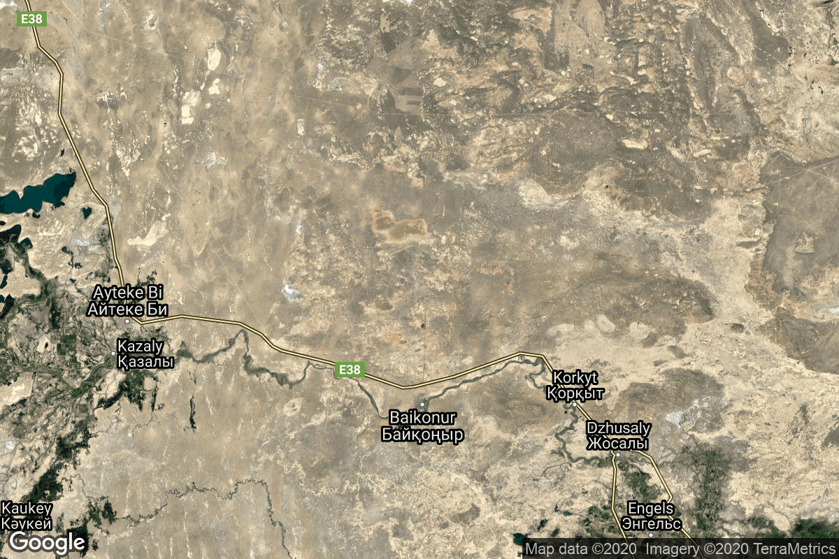
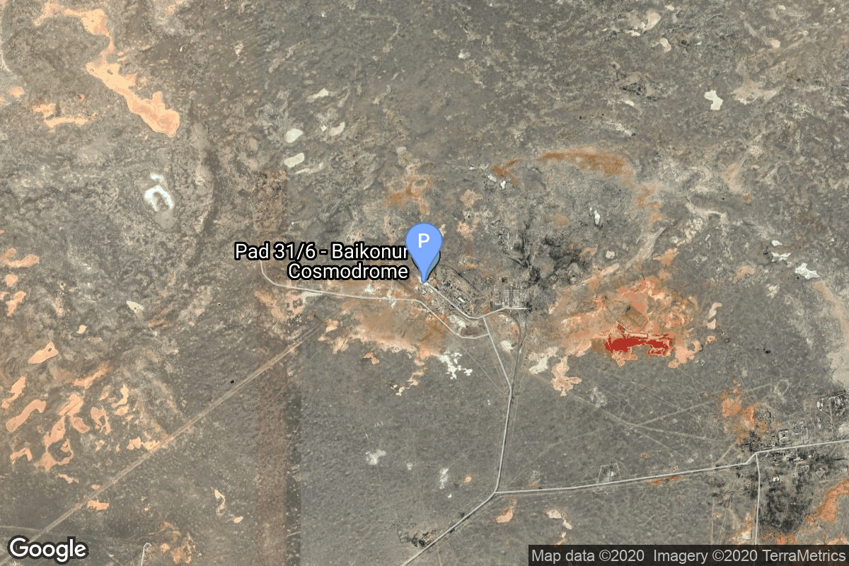
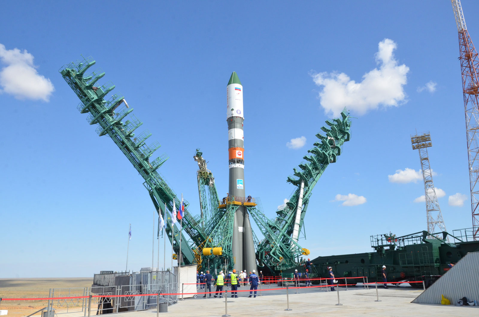
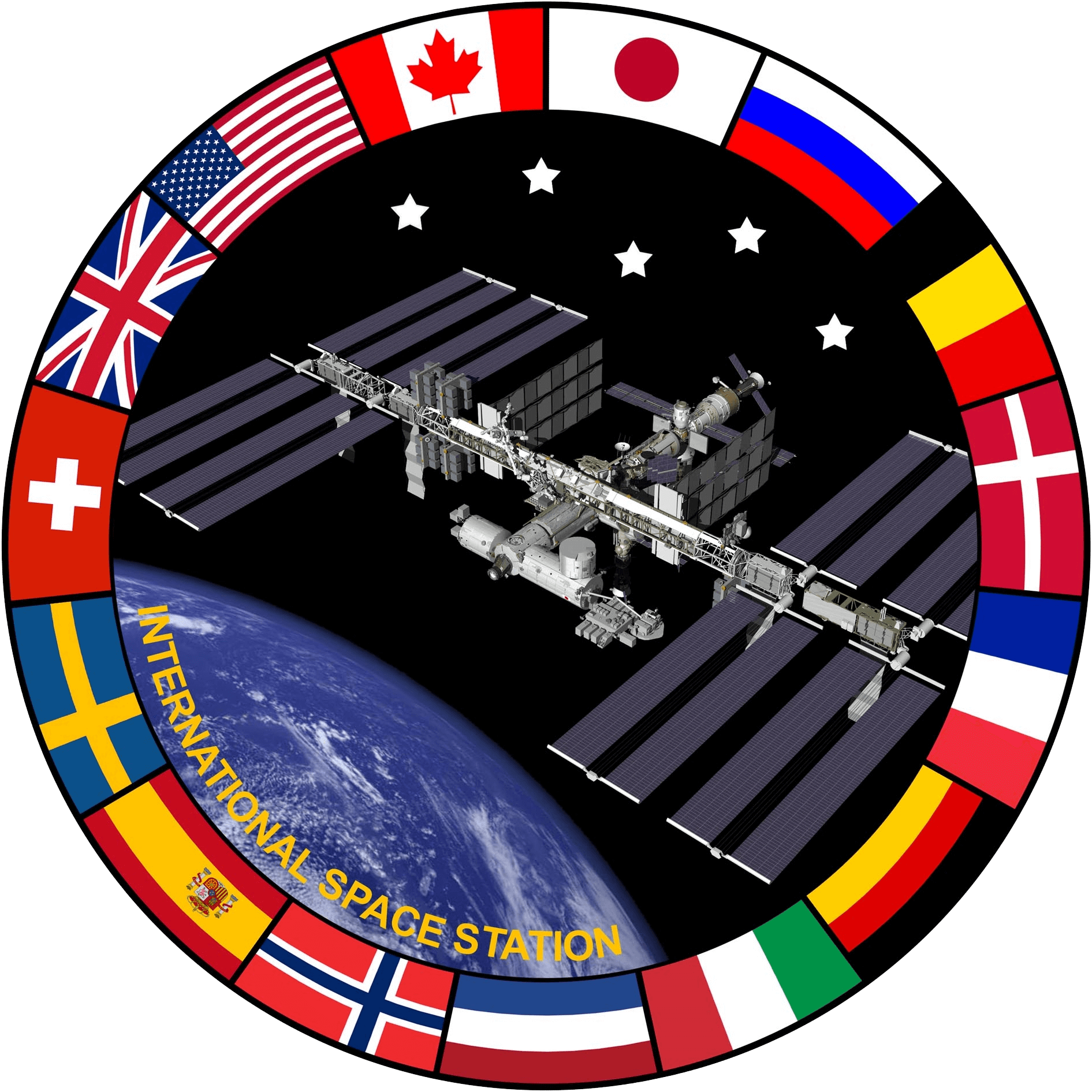
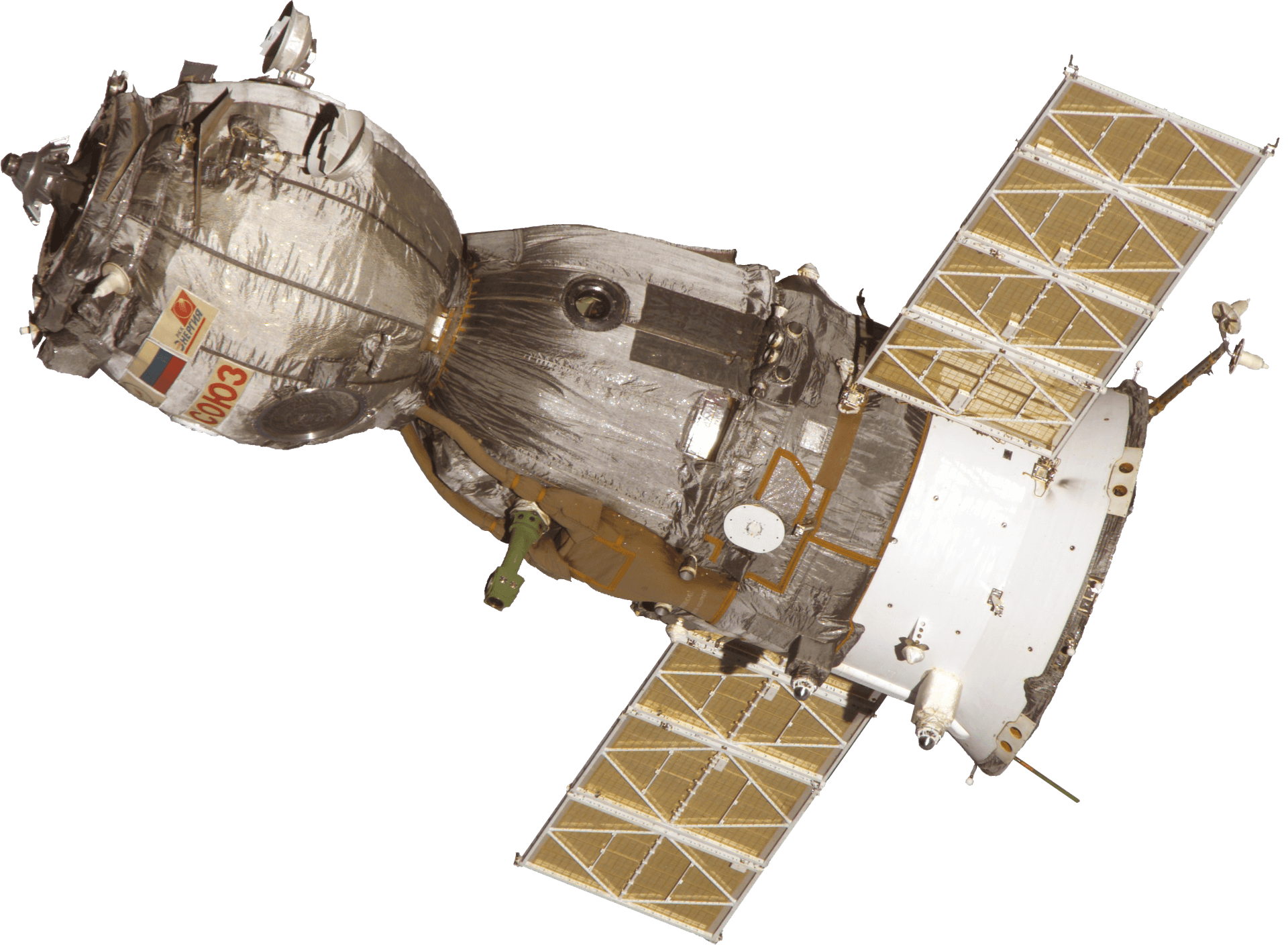
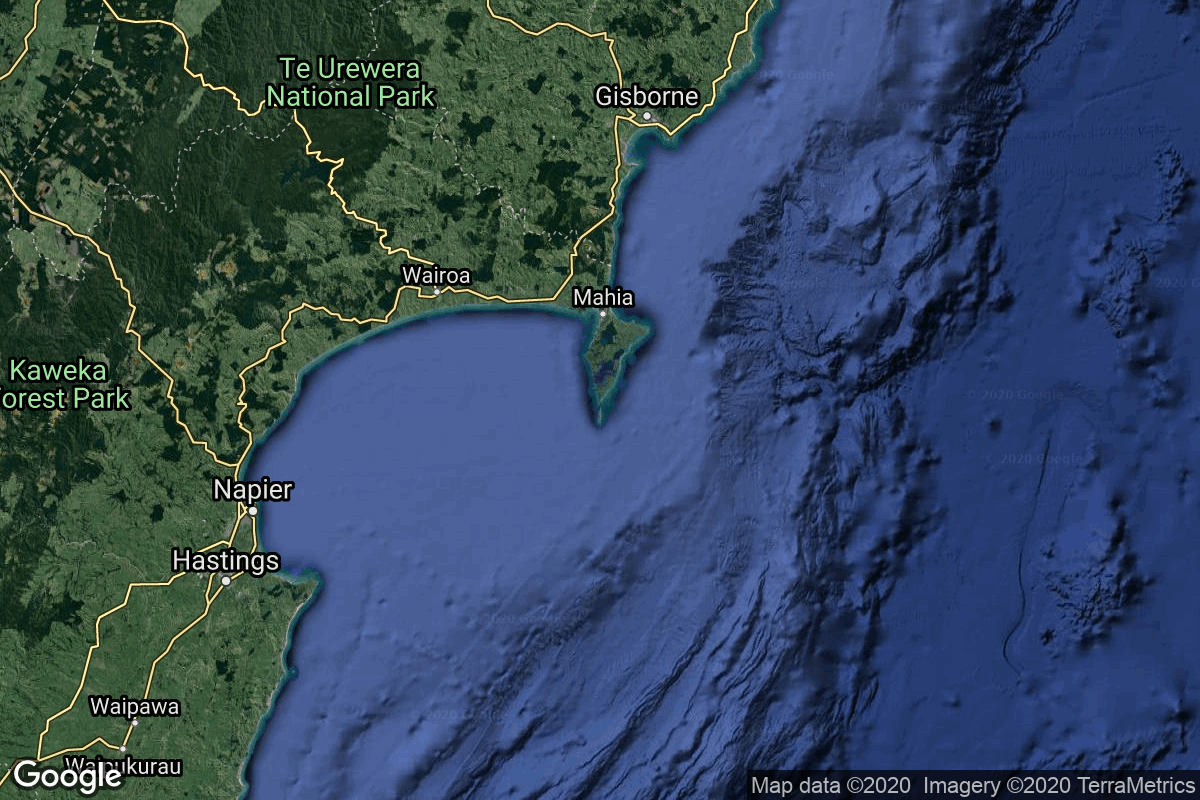
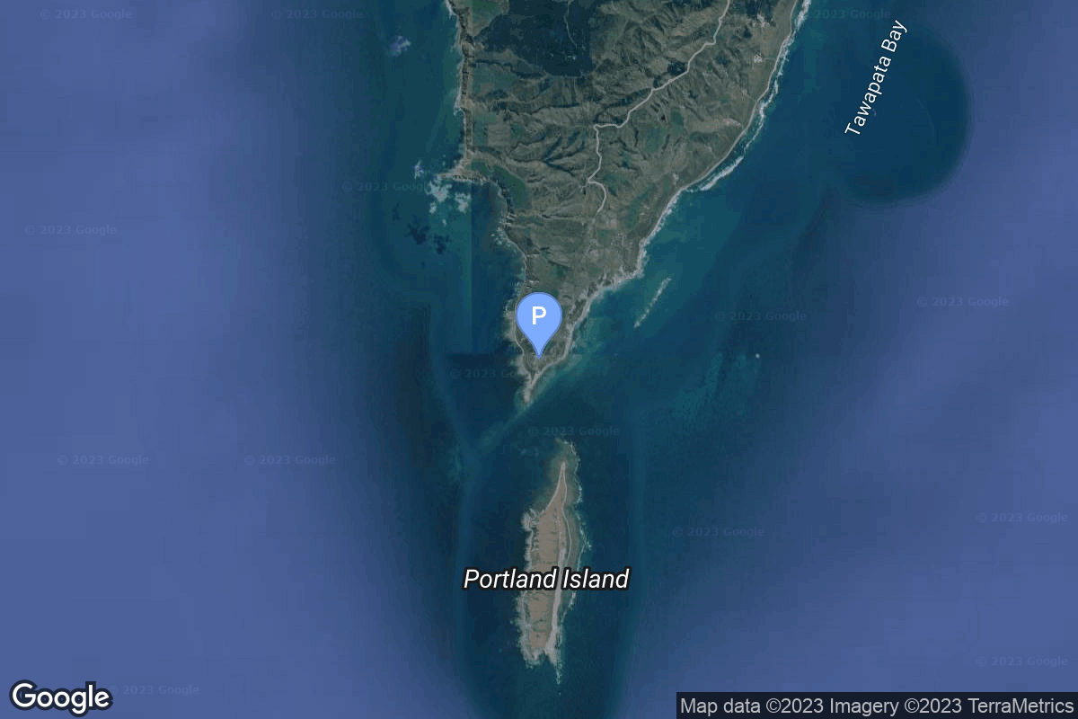
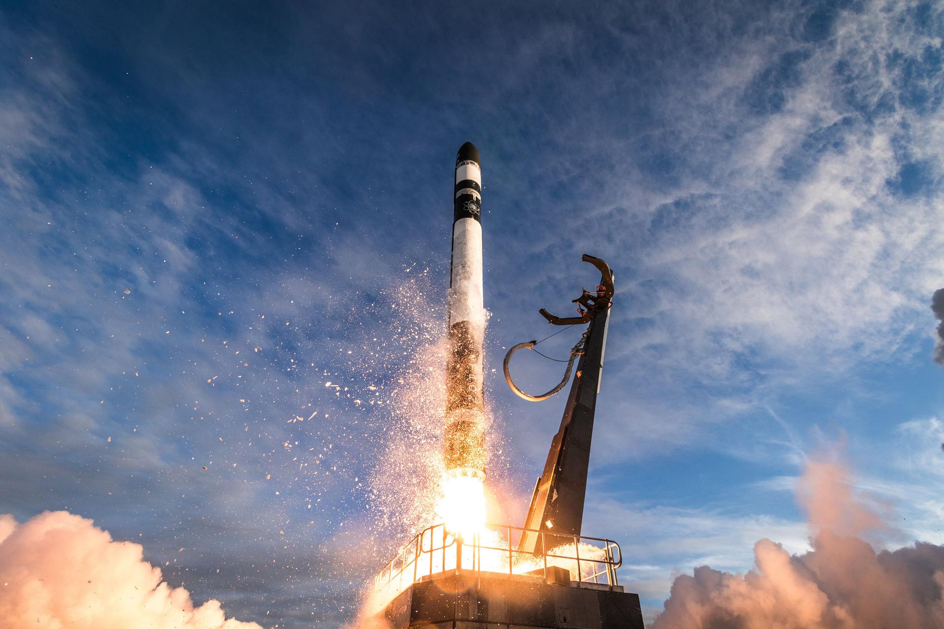
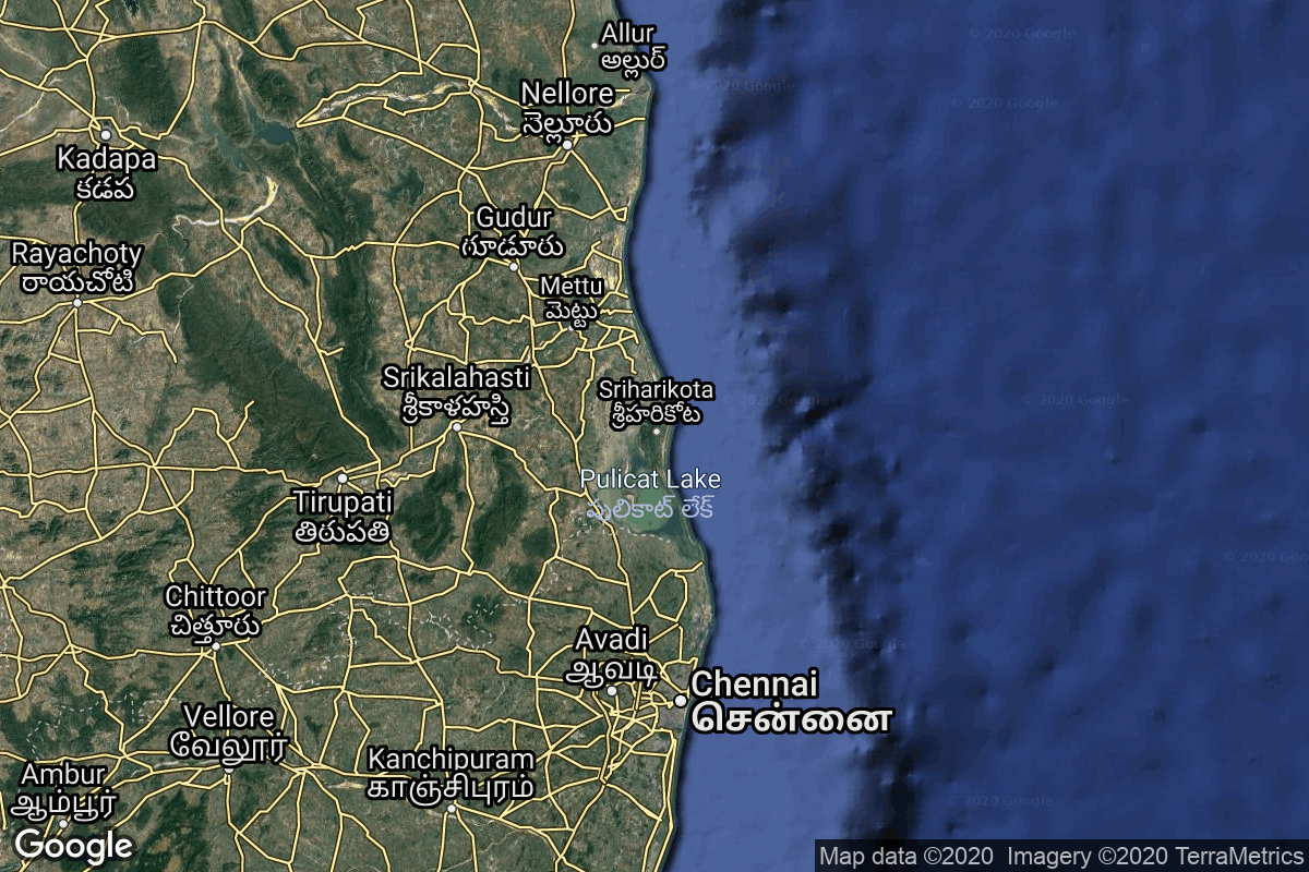
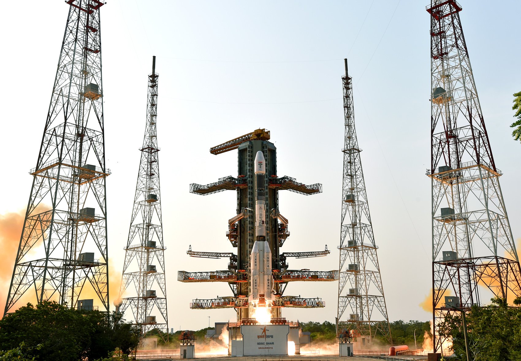
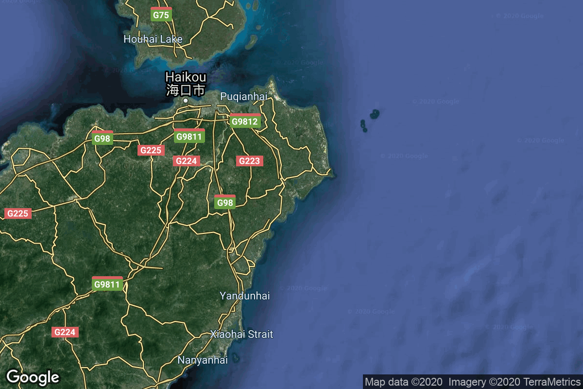
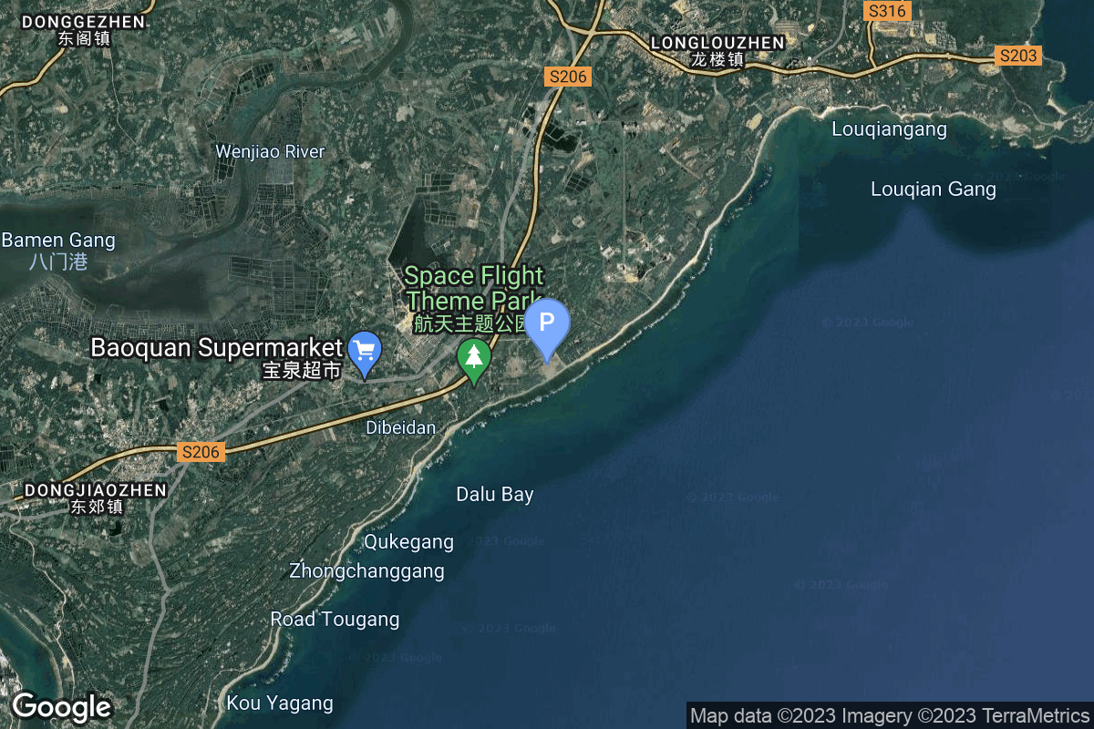
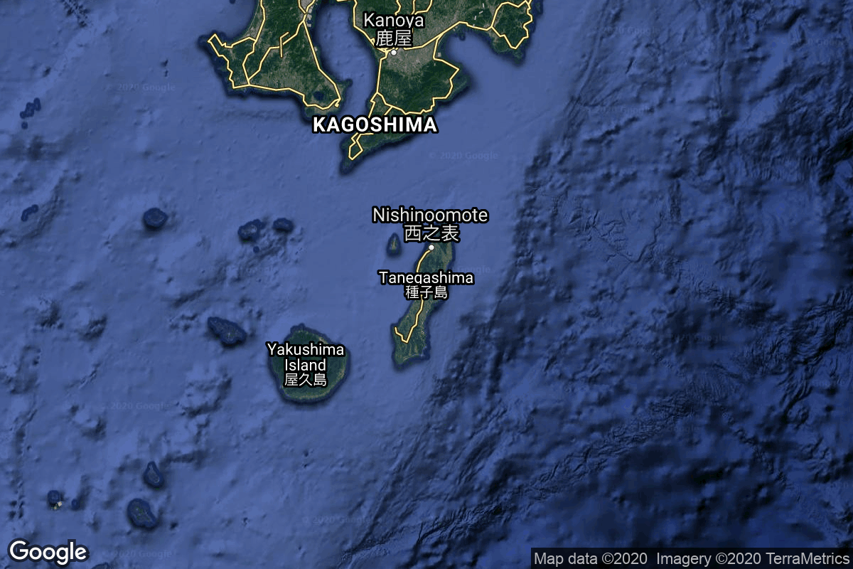
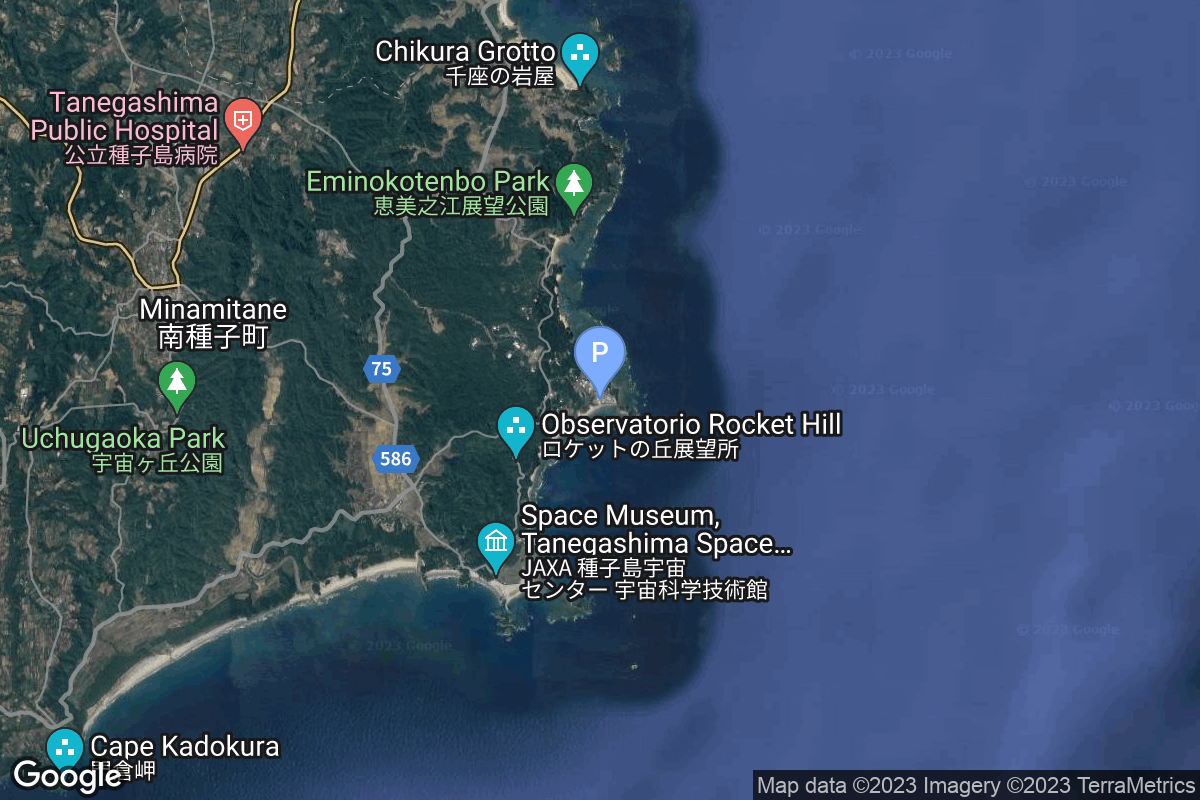
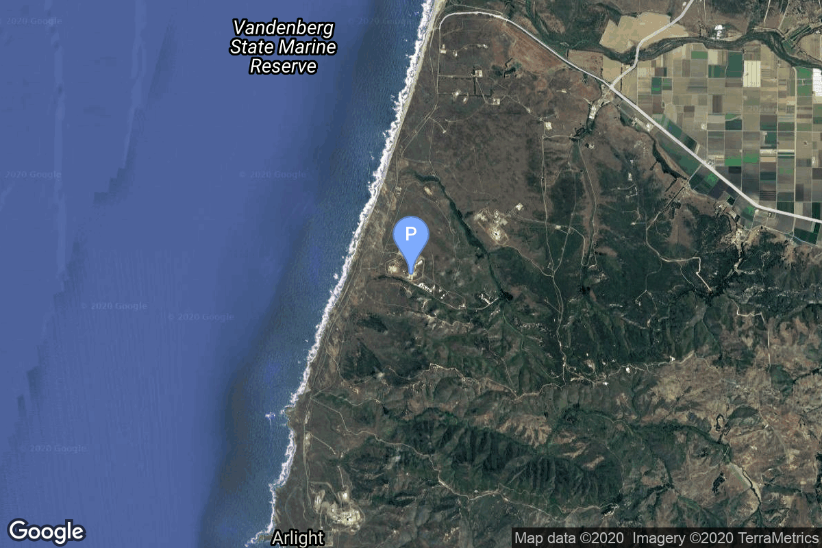
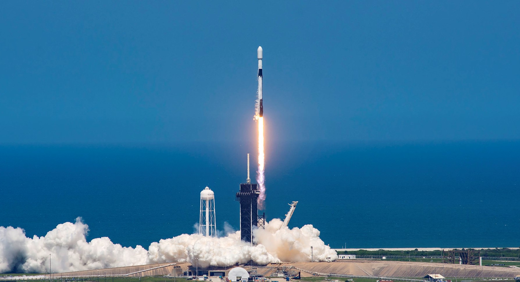
{ "count": 535, "next": "https://lldev.thespacedevs.com/2.0.0/launch/?format=api&limit=10&offset=370&ordering=net", "previous": "https://lldev.thespacedevs.com/2.0.0/launch/?format=api&limit=10&offset=350&ordering=net", "results": [ { "id": "ce3db8f7-ba9b-4a2a-953c-c6c6ee926541", "url": "https://lldev.thespacedevs.com/2.0.0/launch/ce3db8f7-ba9b-4a2a-953c-c6c6ee926541/?format=api", "launch_library_id": null, "slug": "falcon-9-block-5-sirius-sxm-11", "name": "Falcon 9 Block 5 | Sirius SXM-11", "status": { "id": 2, "name": "TBD" }, "net": "2026-06-30T00:00:00Z", "window_end": "2026-06-30T00:00:00Z", "window_start": "2026-06-30T00:00:00Z", "inhold": false, "tbdtime": true, "tbddate": true, "probability": null, "holdreason": "", "failreason": "", "hashtag": null, "launch_service_provider": { "id": 121, "url": "https://lldev.thespacedevs.com/2.0.0/agencies/121/?format=api", "name": "SpaceX", "type": "Commercial" }, "rocket": { "id": 9035, "configuration": { "id": 164, "launch_library_id": 188, "url": "https://lldev.thespacedevs.com/2.0.0/config/launcher/164/?format=api", "name": "Falcon 9", "family": "Falcon", "full_name": "Falcon 9 Block 5", "variant": "Block 5" } }, "mission": { "id": 7630, "launch_library_id": null, "name": "Sirius SXM-11", "description": "SXM-11 is the 12th high-powered, digital, audio radio satellite built by Lanteris Space (ex-Maxar, Space System/Loral) for SiriusXM. The SXM-11 satellite will be based on the proven IM-1300 (ex-LS-1300)-class platform and built at the company’s manufacturing facility in Palo Alto, California. SXM-11 has a large, mesh, unfurlable reflector almost 10 meters in diameter that allows SiriusXM programming to reach its radios, including those in moving vehicles.", "launch_designator": null, "type": "Communications", "orbit": { "id": 2, "name": "Geostationary Transfer Orbit", "abbrev": "GTO" } }, "pad": { "id": 80, "url": "https://lldev.thespacedevs.com/2.0.0/pad/80/?format=api", "agency_id": 121, "name": "Space Launch Complex 40", "info_url": null, "wiki_url": "https://en.wikipedia.org/wiki/Cape_Canaveral_Air_Force_Station_Space_Launch_Complex_40", "map_url": "https://www.google.com/maps?q=28.56194122,-80.57735736", "latitude": "28.56194122", "longitude": "-80.57735736", "location": { "id": 12, "url": "https://lldev.thespacedevs.com/2.0.0/location/12/?format=api", "name": "Cape Canaveral SFS, FL, USA", "country_code": "USA", "map_image": "https://thespacedevs-dev.nyc3.digitaloceanspaces.com/media/map_images/location_12_20200803142519.jpg", "total_launch_count": 1115, "total_landing_count": 75 }, "map_image": "https://thespacedevs-dev.nyc3.digitaloceanspaces.com/media/map_images/pad_80_20200803143323.jpg", "total_launch_count": 388 }, "webcast_live": false, "image": "https://thespacedevs-dev.nyc3.digitaloceanspaces.com/media/images/falcon_9_liftof_image_20241206131356.jpg", "infographic": null, "program": [] }, { "id": "d8eb4b68-5307-4b3b-b585-5598958defc2", "url": "https://lldev.thespacedevs.com/2.0.0/launch/d8eb4b68-5307-4b3b-b585-5598958defc2/?format=api", "launch_library_id": null, "slug": "smart-dragon-3-unknown-payload", "name": "Smart Dragon 3 | Unknown Payload", "status": { "id": 2, "name": "TBD" }, "net": "2026-06-30T00:00:00Z", "window_end": "2026-06-30T00:00:00Z", "window_start": "2026-06-30T00:00:00Z", "inhold": false, "tbdtime": true, "tbddate": true, "probability": null, "holdreason": "", "failreason": "", "hashtag": null, "launch_service_provider": { "id": 272, "url": "https://lldev.thespacedevs.com/2.0.0/agencies/272/?format=api", "name": "China Rocket Co. Ltd.", "type": "Commercial" }, "rocket": { "id": 9037, "configuration": { "id": 484, "launch_library_id": null, "url": "https://lldev.thespacedevs.com/2.0.0/config/launcher/484/?format=api", "name": "Smart Dragon 3", "family": "Smart Dragon", "full_name": "Smart Dragon 3", "variant": "" } }, "mission": { "id": 7632, "launch_library_id": null, "name": "Unknown Payload", "description": "Details TBD.", "launch_designator": null, "type": "Unknown", "orbit": { "id": 25, "name": "Unknown", "abbrev": "N/A" } }, "pad": { "id": 89, "url": "https://lldev.thespacedevs.com/2.0.0/pad/89/?format=api", "agency_id": 88, "name": "Haiyang offshore launch location", "info_url": null, "wiki_url": null, "map_url": "https://www.google.com/maps?q=36.631333,121.198361", "latitude": "36.631333", "longitude": "121.198361", "location": { "id": 185, "url": "https://lldev.thespacedevs.com/2.0.0/location/185/?format=api", "name": "Haiyang Oriental Spaceport", "country_code": "CHN", "map_image": "https://thespacedevs-dev.nyc3.digitaloceanspaces.com/media/map_images/location_haiyang_oriental_spaceport_20251128181322.jpg", "total_launch_count": 25, "total_landing_count": 0 }, "map_image": "https://thespacedevs-dev.nyc3.digitaloceanspaces.com/media/map_images/pad_89_20200803143242.jpg", "total_launch_count": 9 }, "webcast_live": false, "image": "https://thespacedevs-dev.nyc3.digitaloceanspaces.com/media/images/smart_dragon_3__image_20240925074606.jpg", "infographic": null, "program": [] }, { "id": "9eb09815-c237-4fdd-9057-5b161131240c", "url": "https://lldev.thespacedevs.com/2.0.0/launch/9eb09815-c237-4fdd-9057-5b161131240c/?format=api", "launch_library_id": null, "slug": "atlas-v-551-amazon-leo-la-08", "name": "Atlas V 551 | Amazon Leo (LA-08)", "status": { "id": 1, "name": "Go" }, "net": "2026-07-02T04:24:00Z", "window_end": "2026-07-02T04:53:00Z", "window_start": "2026-07-02T04:24:00Z", "inhold": false, "tbdtime": false, "tbddate": false, "probability": null, "holdreason": "", "failreason": "", "hashtag": null, "launch_service_provider": { "id": 124, "url": "https://lldev.thespacedevs.com/2.0.0/agencies/124/?format=api", "name": "United Launch Alliance", "type": "Commercial" }, "rocket": { "id": 184, "configuration": { "id": 27, "launch_library_id": 37, "url": "https://lldev.thespacedevs.com/2.0.0/config/launcher/27/?format=api", "name": "Atlas V 551", "family": "Atlas", "full_name": "Atlas V 551", "variant": "551" } }, "mission": { "id": 6000, "launch_library_id": null, "name": "Amazon Leo (LA-08)", "description": "Amazon Leo, formerly known as Project Kuiper, is a mega constellation of satellites in Low Earth Orbit that will offer broadband internet access, this constellation will be managed by Kuiper Systems LLC, a subsidiary of Amazon. This constellation is planned to be composed of 3,276 satellites. The satellites are projected to be placed in 98 orbital planes in three orbital layers, one at 590 km, 610 km and 630 km altitude.\r\n\r\n29 satellites are carried on this launch.", "launch_designator": null, "type": "Communications", "orbit": { "id": 8, "name": "Low Earth Orbit", "abbrev": "LEO" } }, "pad": { "id": 29, "url": "https://lldev.thespacedevs.com/2.0.0/pad/29/?format=api", "agency_id": null, "name": "Space Launch Complex 41", "info_url": null, "wiki_url": "https://en.wikipedia.org/wiki/Cape_Canaveral_Air_Force_Station_Space_Launch_Complex_41", "map_url": "https://www.google.com/maps?q=28.58341025,-80.58303644", "latitude": "28.58341025", "longitude": "-80.58303644", "location": { "id": 12, "url": "https://lldev.thespacedevs.com/2.0.0/location/12/?format=api", "name": "Cape Canaveral SFS, FL, USA", "country_code": "USA", "map_image": "https://thespacedevs-dev.nyc3.digitaloceanspaces.com/media/map_images/location_12_20200803142519.jpg", "total_launch_count": 1115, "total_landing_count": 75 }, "map_image": "https://thespacedevs-dev.nyc3.digitaloceanspaces.com/media/map_images/pad_29_20200803143528.jpg", "total_launch_count": 124 }, "webcast_live": false, "image": "https://thespacedevs-dev.nyc3.digitaloceanspaces.com/media/images/atlas2520v2520551_image_20190224012316.jpeg", "infographic": null, "program": [ { "id": 27, "url": "https://lldev.thespacedevs.com/2.0.0/program/27/?format=api", "name": "Amazon Leo", "description": "Amazon Leo is a satellite internet constellation aimed at providing high-speed, low-latency broadband connectivity to underserved and remote areas globally. The project involves deploying a constellation of low Earth orbit (LEO) satellites to create a satellite internet network capable of delivering reliable internet access.", "agencies": [ { "id": 1058, "url": "https://lldev.thespacedevs.com/2.0.0/agencies/1058/?format=api", "name": "Amazon Leo", "type": "Private" } ], "image_url": "https://thespacedevs-dev.nyc3.digitaloceanspaces.com/media/images/project2520kui_program_20231228165031.jpeg", "start_date": "2023-10-16T18:06:00Z", "end_date": null, "info_url": "https://en.wikipedia.org/wiki/Kuiper_Systems", "wiki_url": "https://aboutamazon.com/what-we-do/devices-services/project-kuiper" } ] }, { "id": "a556b963-0f36-4660-95a8-fdffdba653e2", "url": "https://lldev.thespacedevs.com/2.0.0/launch/a556b963-0f36-4660-95a8-fdffdba653e2/?format=api", "launch_library_id": null, "slug": "soyuz-21a-soyuz-ms-29", "name": "Soyuz 2.1a | Soyuz MS-29", "status": { "id": 2, "name": "TBD" }, "net": "2026-07-14T14:43:00Z", "window_end": "2026-07-14T14:43:00Z", "window_start": "2026-07-14T14:43:00Z", "inhold": false, "tbdtime": false, "tbddate": false, "probability": null, "holdreason": "", "failreason": "", "hashtag": null, "launch_service_provider": { "id": 63, "url": "https://lldev.thespacedevs.com/2.0.0/agencies/63/?format=api", "name": "Russian Federal Space Agency (ROSCOSMOS)", "type": "Government" }, "rocket": { "id": 8653, "configuration": { "id": 24, "launch_library_id": 49, "url": "https://lldev.thespacedevs.com/2.0.0/config/launcher/24/?format=api", "name": "Soyuz 2.1a", "family": "Soyuz", "full_name": "Soyuz 2.1a", "variant": "" } }, "mission": { "id": 7245, "launch_library_id": null, "name": "Soyuz MS-29", "description": "Soyuz MS-29 will carry three cosmonauts and one astronaut to the International Space Station aboard the Soyuz spacecraft from the Baikonur Cosmodrome in Kazakhstan. The crew consists of Roscosmos cosmonauts Pyotr Dubrov and Anna Kikina, as well as NASA astronaut Anil Menon.", "launch_designator": null, "type": "Human Exploration", "orbit": { "id": 8, "name": "Low Earth Orbit", "abbrev": "LEO" } }, "pad": { "id": 20, "url": "https://lldev.thespacedevs.com/2.0.0/pad/20/?format=api", "agency_id": null, "name": "31/6", "info_url": null, "wiki_url": "https://en.wikipedia.org/wiki/Baikonur_Cosmodrome_Site_31", "map_url": "https://www.google.com/maps?q=45.996034,63.564003", "latitude": "45.996034", "longitude": "63.564003", "location": { "id": 15, "url": "https://lldev.thespacedevs.com/2.0.0/location/15/?format=api", "name": "Baikonur Cosmodrome, Republic of Kazakhstan", "country_code": "KAZ", "map_image": "https://thespacedevs-dev.nyc3.digitaloceanspaces.com/media/map_images/location_15_20200803142517.jpg", "total_launch_count": 1563, "total_landing_count": 0 }, "map_image": "https://thespacedevs-dev.nyc3.digitaloceanspaces.com/media/map_images/pad_20_20200803143516.jpg", "total_launch_count": 428 }, "webcast_live": false, "image": "https://thespacedevs-dev.nyc3.digitaloceanspaces.com/media/images/soyuz_2.1a_image_20230805184309.jpg", "infographic": null, "program": [ { "id": 17, "url": "https://lldev.thespacedevs.com/2.0.0/program/17/?format=api", "name": "International Space Station", "description": "The International Space Station programme is tied together by a complex set of legal, political and financial agreements between the sixteen nations involved in the project, governing ownership of the various components, rights to crewing and utilization, and responsibilities for crew rotation and resupply of the International Space Station. It was conceived in 1984 by President Ronald Reagan, during the Space Station Freedom project as it was originally called.", "agencies": [ { "id": 16, "url": "https://lldev.thespacedevs.com/2.0.0/agencies/16/?format=api", "name": "Canadian Space Agency", "type": "Government" }, { "id": 27, "url": "https://lldev.thespacedevs.com/2.0.0/agencies/27/?format=api", "name": "European Space Agency", "type": "Multinational" }, { "id": 37, "url": "https://lldev.thespacedevs.com/2.0.0/agencies/37/?format=api", "name": "Japan Aerospace Exploration Agency", "type": "Government" }, { "id": 44, "url": "https://lldev.thespacedevs.com/2.0.0/agencies/44/?format=api", "name": "National Aeronautics and Space Administration", "type": "Government" }, { "id": 63, "url": "https://lldev.thespacedevs.com/2.0.0/agencies/63/?format=api", "name": "Russian Federal Space Agency (ROSCOSMOS)", "type": "Government" } ], "image_url": "https://thespacedevs-dev.nyc3.digitaloceanspaces.com/media/images/international2_program_20201129184745.png", "start_date": "1998-11-20T06:40:00Z", "end_date": null, "info_url": "https://www.nasa.gov/mission_pages/station/main/index.html", "wiki_url": "https://en.wikipedia.org/wiki/International_Space_Station_programme" }, { "id": 8, "url": "https://lldev.thespacedevs.com/2.0.0/program/8/?format=api", "name": "Soyuz", "description": "The Soyuz programme is a human spaceflight programme initiated by the Soviet Union in the early 1960s. The Soyuz spacecraft was originally part of a Moon landing project intended to put a Soviet cosmonaut on the Moon. It was the third Soviet human spaceflight programme after the Vostok and Voskhod programmes.", "agencies": [ { "id": 63, "url": "https://lldev.thespacedevs.com/2.0.0/agencies/63/?format=api", "name": "Russian Federal Space Agency (ROSCOSMOS)", "type": "Government" }, { "id": 66, "url": "https://lldev.thespacedevs.com/2.0.0/agencies/66/?format=api", "name": "Soviet Space Program", "type": "Government" } ], "image_url": "https://thespacedevs-dev.nyc3.digitaloceanspaces.com/media/images/soyuz_program_20201129185543.png", "start_date": "1966-11-28T11:02:00Z", "end_date": null, "info_url": null, "wiki_url": "https://en.wikipedia.org/wiki/Soyuz_programme" } ] }, { "id": "599ba2df-7483-4b2f-a083-2b5ddc06e069", "url": "https://lldev.thespacedevs.com/2.0.0/launch/599ba2df-7483-4b2f-a083-2b5ddc06e069/?format=api", "launch_library_id": null, "slug": "electron-loxsat-1", "name": "Electron | LOXSAT 1", "status": { "id": 2, "name": "TBD" }, "net": "2026-07-17T00:00:00Z", "window_end": "2026-07-17T00:00:00Z", "window_start": "2026-07-17T00:00:00Z", "inhold": false, "tbdtime": true, "tbddate": false, "probability": null, "holdreason": "", "failreason": "", "hashtag": null, "launch_service_provider": { "id": 147, "url": "https://lldev.thespacedevs.com/2.0.0/agencies/147/?format=api", "name": "Rocket Lab", "type": "Commercial" }, "rocket": { "id": 8764, "configuration": { "id": 26, "launch_library_id": 148, "url": "https://lldev.thespacedevs.com/2.0.0/config/launcher/26/?format=api", "name": "Electron", "family": "", "full_name": "Electron", "variant": "" } }, "mission": { "id": 7355, "launch_library_id": null, "name": "LOXSAT 1", "description": "LOXSAT 1 is a demonstration satellite of a complete cryogenic oxygen fluid management system in orbit, developed by Eta Space and sponsored by NASA's Tipping Point program.\r\n\r\nThe system will be integrated on a Rocket Lab Photon-LEO satellite bus and collect critical cryogenic fluid management data in orbit for 9 months, demonstrating capabilities of in-space cryogenic storage and transferal. Eta Space plans to use technology developed for this mission to develop a truly commercial depot intended to serve multiple customers in the future.", "launch_designator": null, "type": "Technology", "orbit": { "id": 8, "name": "Low Earth Orbit", "abbrev": "LEO" } }, "pad": { "id": 210, "url": "https://lldev.thespacedevs.com/2.0.0/pad/210/?format=api", "agency_id": null, "name": "Unknown Pad", "info_url": null, "wiki_url": null, "map_url": null, "latitude": "-39.260881", "longitude": "177.865826", "location": { "id": 10, "url": "https://lldev.thespacedevs.com/2.0.0/location/10/?format=api", "name": "Rocket Lab Launch Complex 1, Mahia Peninsula, New Zealand", "country_code": "NZL", "map_image": "https://thespacedevs-dev.nyc3.digitaloceanspaces.com/media/map_images/location_10_20200803142509.jpg", "total_launch_count": 77, "total_landing_count": 17 }, "map_image": "https://thespacedevs-dev.nyc3.digitaloceanspaces.com/media/map_images/pad_210_20230819165718.jpg", "total_launch_count": 1 }, "webcast_live": false, "image": "https://thespacedevs-dev.nyc3.digitaloceanspaces.com/media/images/electron_image_20190705175640.jpeg", "infographic": null, "program": [] }, { "id": "17d0ec68-f466-4916-9dc5-16123eda6484", "url": "https://lldev.thespacedevs.com/2.0.0/launch/17d0ec68-f466-4916-9dc5-16123eda6484/?format=api", "launch_library_id": 1879, "slug": "gslv-mk-ii-gisat-1a-eos-05", "name": "GSLV Mk II | GISAT-1A (EOS-05)", "status": { "id": 2, "name": "TBD" }, "net": "2026-07-31T00:00:00Z", "window_end": "2026-07-31T00:00:00Z", "window_start": "2026-07-31T00:00:00Z", "inhold": false, "tbdtime": true, "tbddate": true, "probability": null, "holdreason": "", "failreason": "", "hashtag": null, "launch_service_provider": { "id": 31, "url": "https://lldev.thespacedevs.com/2.0.0/agencies/31/?format=api", "name": "Indian Space Research Organization", "type": "Government" }, "rocket": { "id": 2413, "configuration": { "id": 168, "launch_library_id": 60, "url": "https://lldev.thespacedevs.com/2.0.0/config/launcher/168/?format=api", "name": "GSLV Mk II", "family": "GSLV", "full_name": "GSLV Mk. II", "variant": "" } }, "mission": { "id": 6523, "launch_library_id": null, "name": "GISAT-1A (EOS-05)", "description": "GISAT-1A (GEO Imaging Satellite) is an Indian earth observing satellite operating from geostationary orbit to facilitate continuous observation of Indian sub-continent, quick monitoring of natural hazards and disaster.", "launch_designator": null, "type": "Earth Science", "orbit": { "id": 2, "name": "Geostationary Transfer Orbit", "abbrev": "GTO" } }, "pad": { "id": 82, "url": "https://lldev.thespacedevs.com/2.0.0/pad/82/?format=api", "agency_id": 31, "name": "Satish Dhawan Space Centre Second Launch Pad", "info_url": null, "wiki_url": "https://en.wikipedia.org/wiki/Satish_Dhawan_Space_Centre_Second_Launch_Pad", "map_url": "https://www.google.com/maps?q=13.7199,80.2304", "latitude": "13.7199", "longitude": "80.2304", "location": { "id": 14, "url": "https://lldev.thespacedevs.com/2.0.0/location/14/?format=api", "name": "Satish Dhawan Space Centre, India", "country_code": "IND", "map_image": "https://thespacedevs-dev.nyc3.digitaloceanspaces.com/media/map_images/location_14_20200803142403.jpg", "total_launch_count": 103, "total_landing_count": 0 }, "map_image": "https://thespacedevs-dev.nyc3.digitaloceanspaces.com/media/map_images/pad_82_20200803143602.jpg", "total_launch_count": 32 }, "webcast_live": false, "image": "https://thespacedevs-dev.nyc3.digitaloceanspaces.com/media/images/gslv2520mk2520ii_image_20190825171642.jpg", "infographic": null, "program": [] }, { "id": "1e79a5e9-c02c-470f-882f-884120100fef", "url": "https://lldev.thespacedevs.com/2.0.0/launch/1e79a5e9-c02c-470f-882f-884120100fef/?format=api", "launch_library_id": null, "slug": "long-march-10b-demo-flight", "name": "Long March 10B | Demo Flight", "status": { "id": 2, "name": "TBD" }, "net": "2026-07-31T00:00:00Z", "window_end": "2026-07-31T00:00:00Z", "window_start": "2026-07-31T00:00:00Z", "inhold": false, "tbdtime": true, "tbddate": true, "probability": null, "holdreason": "", "failreason": "", "hashtag": null, "launch_service_provider": { "id": 88, "url": "https://lldev.thespacedevs.com/2.0.0/agencies/88/?format=api", "name": "China Aerospace Science and Technology Corporation", "type": "Government" }, "rocket": { "id": 8938, "configuration": { "id": 554, "launch_library_id": null, "url": "https://lldev.thespacedevs.com/2.0.0/config/launcher/554/?format=api", "name": "Long March 10B", "family": "Long March", "full_name": "Long March 10B", "variant": "" } }, "mission": { "id": 7533, "launch_library_id": null, "name": "Demo Flight", "description": "First test launch of CASC’s Long March 10B rocket.", "launch_designator": null, "type": "Test Flight", "orbit": { "id": 25, "name": "Unknown", "abbrev": "N/A" } }, "pad": { "id": 219, "url": "https://lldev.thespacedevs.com/2.0.0/pad/219/?format=api", "agency_id": null, "name": "Commercial LC-2", "info_url": null, "wiki_url": "https://en.wikipedia.org/wiki/Wenchang_Commercial_Space_Launch_Site", "map_url": "https://www.google.com/maps?q=19.59755,110.936481", "latitude": "19.59755", "longitude": "110.936481", "location": { "id": 8, "url": "https://lldev.thespacedevs.com/2.0.0/location/8/?format=api", "name": "Wenchang Space Launch Site, People's Republic of China", "country_code": "CHN", "map_image": "https://thespacedevs-dev.nyc3.digitaloceanspaces.com/media/map_images/location_8_20200803142445.jpg", "total_launch_count": 65, "total_landing_count": 0 }, "map_image": "https://thespacedevs-dev.nyc3.digitaloceanspaces.com/media/map_images/pad_commercial_lc-2_20231225074048.jpg", "total_launch_count": 6 }, "webcast_live": false, "image": null, "infographic": null, "program": [] }, { "id": "56a85c82-ea71-449b-828c-b583f6f4a18b", "url": "https://lldev.thespacedevs.com/2.0.0/launch/56a85c82-ea71-449b-828c-b583f6f4a18b/?format=api", "launch_library_id": null, "slug": "falcon-9-block-5-bluebird-block-2-6-8", "name": "Falcon 9 Block 5 | BlueBird Block 2 #6-8", "status": { "id": 2, "name": "TBD" }, "net": "2026-07-31T00:00:00Z", "window_end": "2026-07-31T00:00:00Z", "window_start": "2026-07-31T00:00:00Z", "inhold": false, "tbdtime": true, "tbddate": true, "probability": null, "holdreason": "", "failreason": "", "hashtag": null, "launch_service_provider": { "id": 121, "url": "https://lldev.thespacedevs.com/2.0.0/agencies/121/?format=api", "name": "SpaceX", "type": "Commercial" }, "rocket": { "id": 9036, "configuration": { "id": 164, "launch_library_id": 188, "url": "https://lldev.thespacedevs.com/2.0.0/config/launcher/164/?format=api", "name": "Falcon 9", "family": "Falcon", "full_name": "Falcon 9 Block 5", "variant": "Block 5" } }, "mission": { "id": 7631, "launch_library_id": null, "name": "BlueBird Block 2 #6-8", "description": "AST SpaceMobile’s Block 2 BlueBird satellites are designed to deliver up to 10 times the bandwidth capacity of the BlueBird Block 1 satellites, required to achieve 24/7 continuous cellular broadband service coverage in the United States, with beams designed to support a capacity of up to 40 MHz, enabling peak data transmission speeds up to 120 Mbps, supporting voice, full data and video applications. The Block 2 BlueBirds, featuring as large as 2400 square foot communications arrays, will be the largest satellites ever commercially deployed in Low Earth orbit once launched.\r\n\r\nThis launch will feature 3 satellites.", "launch_designator": null, "type": "Communications", "orbit": { "id": 8, "name": "Low Earth Orbit", "abbrev": "LEO" } }, "pad": { "id": 80, "url": "https://lldev.thespacedevs.com/2.0.0/pad/80/?format=api", "agency_id": 121, "name": "Space Launch Complex 40", "info_url": null, "wiki_url": "https://en.wikipedia.org/wiki/Cape_Canaveral_Air_Force_Station_Space_Launch_Complex_40", "map_url": "https://www.google.com/maps?q=28.56194122,-80.57735736", "latitude": "28.56194122", "longitude": "-80.57735736", "location": { "id": 12, "url": "https://lldev.thespacedevs.com/2.0.0/location/12/?format=api", "name": "Cape Canaveral SFS, FL, USA", "country_code": "USA", "map_image": "https://thespacedevs-dev.nyc3.digitaloceanspaces.com/media/map_images/location_12_20200803142519.jpg", "total_launch_count": 1115, "total_landing_count": 75 }, "map_image": "https://thespacedevs-dev.nyc3.digitaloceanspaces.com/media/map_images/pad_80_20200803143323.jpg", "total_launch_count": 388 }, "webcast_live": false, "image": "https://thespacedevs-dev.nyc3.digitaloceanspaces.com/media/images/f9_on_slc-40_2_image_20240919072420.jpg", "infographic": null, "program": [] }, { "id": "a2234679-5efe-4a00-9aff-cf82dbac22b0", "url": "https://lldev.thespacedevs.com/2.0.0/launch/a2234679-5efe-4a00-9aff-cf82dbac22b0/?format=api", "launch_library_id": null, "slug": "h3-24-htv-x2", "name": "H3-24 | HTV-X2", "status": { "id": 2, "name": "TBD" }, "net": "2026-07-31T00:00:00Z", "window_end": "2026-07-31T00:00:00Z", "window_start": "2026-07-31T00:00:00Z", "inhold": false, "tbdtime": true, "tbddate": true, "probability": null, "holdreason": "", "failreason": "", "hashtag": null, "launch_service_provider": { "id": 98, "url": "https://lldev.thespacedevs.com/2.0.0/agencies/98/?format=api", "name": "Mitsubishi Heavy Industries", "type": "Commercial" }, "rocket": { "id": 7771, "configuration": { "id": 204, "launch_library_id": 233, "url": "https://lldev.thespacedevs.com/2.0.0/config/launcher/204/?format=api", "name": "H3-24", "family": "H3", "full_name": "H3-24", "variant": "24" } }, "mission": { "id": 6289, "launch_library_id": null, "name": "HTV-X2", "description": "Second flight of the upgraded Japanese HTV-X spacecraft designed to resupply the International Space Station.", "launch_designator": null, "type": "Resupply", "orbit": { "id": 8, "name": "Low Earth Orbit", "abbrev": "LEO" } }, "pad": { "id": 209, "url": "https://lldev.thespacedevs.com/2.0.0/pad/209/?format=api", "agency_id": 37, "name": "Yoshinobu Launch Complex LP-2", "info_url": null, "wiki_url": "https://en.wikipedia.org/wiki/Yoshinobu_Launch_Complex", "map_url": "https://www.google.com/maps?q=30.400938,130.97564", "latitude": "30.400938", "longitude": "130.97564", "location": { "id": 26, "url": "https://lldev.thespacedevs.com/2.0.0/location/26/?format=api", "name": "Tanegashima Space Center, Japan", "country_code": "JPN", "map_image": "https://thespacedevs-dev.nyc3.digitaloceanspaces.com/media/map_images/location_26_20200803142507.jpg", "total_launch_count": 98, "total_landing_count": 0 }, "map_image": "https://thespacedevs-dev.nyc3.digitaloceanspaces.com/media/map_images/pad_yoshinobu_launch_complex_lp-2_20230707124715.jpg", "total_launch_count": 17 }, "webcast_live": false, "image": "https://thespacedevs-dev.nyc3.digitaloceanspaces.com/media/images/h3-24_liftoff__image_20251028184029.jpeg", "infographic": null, "program": [ { "id": 17, "url": "https://lldev.thespacedevs.com/2.0.0/program/17/?format=api", "name": "International Space Station", "description": "The International Space Station programme is tied together by a complex set of legal, political and financial agreements between the sixteen nations involved in the project, governing ownership of the various components, rights to crewing and utilization, and responsibilities for crew rotation and resupply of the International Space Station. It was conceived in 1984 by President Ronald Reagan, during the Space Station Freedom project as it was originally called.", "agencies": [ { "id": 16, "url": "https://lldev.thespacedevs.com/2.0.0/agencies/16/?format=api", "name": "Canadian Space Agency", "type": "Government" }, { "id": 27, "url": "https://lldev.thespacedevs.com/2.0.0/agencies/27/?format=api", "name": "European Space Agency", "type": "Multinational" }, { "id": 37, "url": "https://lldev.thespacedevs.com/2.0.0/agencies/37/?format=api", "name": "Japan Aerospace Exploration Agency", "type": "Government" }, { "id": 44, "url": "https://lldev.thespacedevs.com/2.0.0/agencies/44/?format=api", "name": "National Aeronautics and Space Administration", "type": "Government" }, { "id": 63, "url": "https://lldev.thespacedevs.com/2.0.0/agencies/63/?format=api", "name": "Russian Federal Space Agency (ROSCOSMOS)", "type": "Government" } ], "image_url": "https://thespacedevs-dev.nyc3.digitaloceanspaces.com/media/images/international2_program_20201129184745.png", "start_date": "1998-11-20T06:40:00Z", "end_date": null, "info_url": "https://www.nasa.gov/mission_pages/station/main/index.html", "wiki_url": "https://en.wikipedia.org/wiki/International_Space_Station_programme" } ] }, { "id": "a6db1e67-5860-47c9-a674-adc0f35b62e0", "url": "https://lldev.thespacedevs.com/2.0.0/launch/a6db1e67-5860-47c9-a674-adc0f35b62e0/?format=api", "launch_library_id": null, "slug": "falcon-9-block-5-transporter-17-dedicated-sso-ride", "name": "Falcon 9 Block 5 | Transporter 17 (Dedicated SSO Rideshare)", "status": { "id": 2, "name": "TBD" }, "net": "2026-07-31T00:00:00Z", "window_end": "2026-07-31T00:00:00Z", "window_start": "2026-07-31T00:00:00Z", "inhold": false, "tbdtime": true, "tbddate": true, "probability": null, "holdreason": "", "failreason": "", "hashtag": null, "launch_service_provider": { "id": 121, "url": "https://lldev.thespacedevs.com/2.0.0/agencies/121/?format=api", "name": "SpaceX", "type": "Commercial" }, "rocket": { "id": 8631, "configuration": { "id": 164, "launch_library_id": 188, "url": "https://lldev.thespacedevs.com/2.0.0/config/launcher/164/?format=api", "name": "Falcon 9", "family": "Falcon", "full_name": "Falcon 9 Block 5", "variant": "Block 5" } }, "mission": { "id": 7223, "launch_library_id": null, "name": "Transporter 17 (Dedicated SSO Rideshare)", "description": "Dedicated rideshare flight to a sun-synchronous orbit with dozens of small microsatellites and nanosatellites for commercial and government customers.", "launch_designator": null, "type": "Dedicated Rideshare", "orbit": { "id": 17, "name": "Sun-Synchronous Orbit", "abbrev": "SSO" } }, "pad": { "id": 16, "url": "https://lldev.thespacedevs.com/2.0.0/pad/16/?format=api", "agency_id": null, "name": "Space Launch Complex 4E", "info_url": null, "wiki_url": "https://en.wikipedia.org/wiki/Vandenberg_Space_Launch_Complex_4#SLC-4E", "map_url": "https://www.google.com/maps?q=34.632,-120.611", "latitude": "34.632", "longitude": "-120.611", "location": { "id": 11, "url": "https://lldev.thespacedevs.com/2.0.0/location/11/?format=api", "name": "Vandenberg SFB, CA, USA", "country_code": "USA", "map_image": "https://thespacedevs-dev.nyc3.digitaloceanspaces.com/media/map_images/location_11_20200803142416.jpg", "total_launch_count": 892, "total_landing_count": 35 }, "map_image": "https://thespacedevs-dev.nyc3.digitaloceanspaces.com/media/map_images/pad_16_20200803143532.jpg", "total_launch_count": 276 }, "webcast_live": false, "image": "https://thespacedevs-dev.nyc3.digitaloceanspaces.com/media/images/falcon_9_image_20230807133459.jpeg", "infographic": null, "program": [] } ] }