Launch List
API endpoint that returns all Launch objects or a single launch.
EXAMPLE - /launch/
GET: Return a list of all Launch objects.
FILTERS: Fields - 'name', 'id(s)', 'lsp_id', 'lsp_name', 'serial_number', 'launcher_config__id', 'rocket__spacecraftflight__spacecraft__name'
MODE: 'normal', 'list', 'detailed' EXAMPLE: ?mode=list
SEARCH: Searches through the launch name, rocket name, launch agency, mission name & spacecraft name. EXAMPLE - ?search=SpaceX
GET /2.0.0/launch/?format=api&offset=30&ordering=name
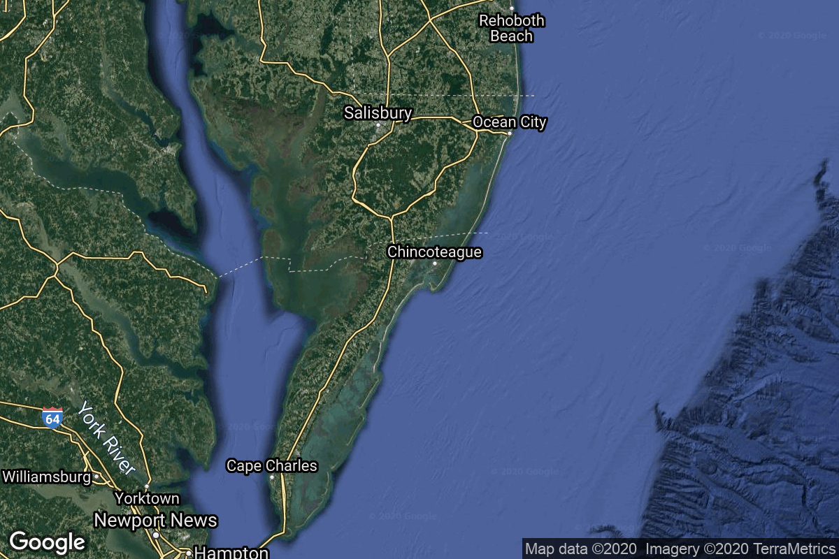
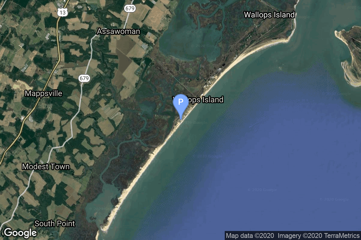
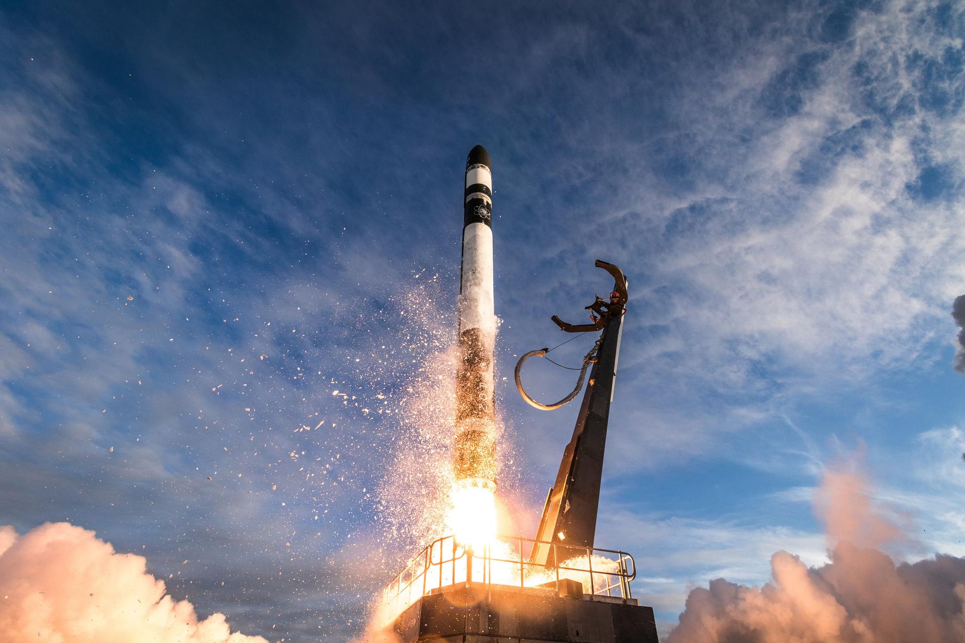
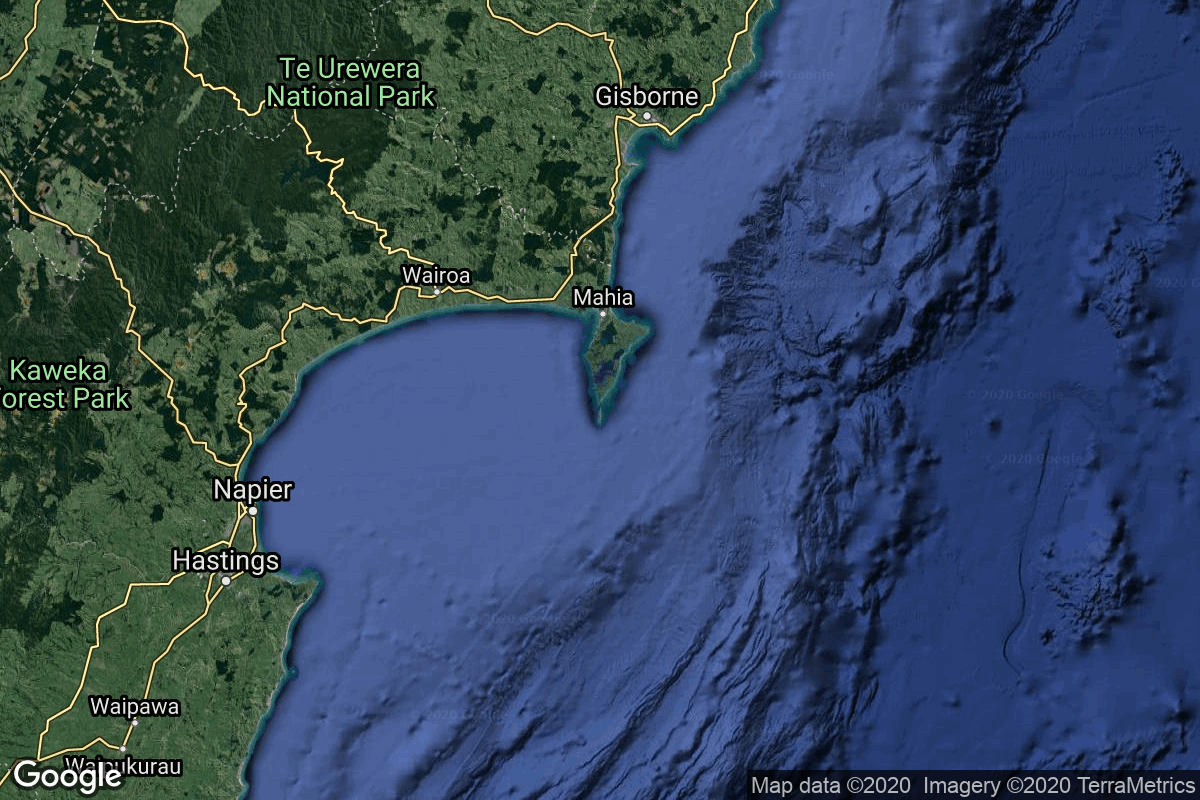
{ "count": 549, "next": "https://lldev.thespacedevs.com/2.0.0/launch/?format=api&limit=10&offset=40&ordering=name", "previous": "https://lldev.thespacedevs.com/2.0.0/launch/?format=api&limit=10&offset=20&ordering=name", "results": [ { "id": "7766f3bb-674c-4c71-b986-963bd633fcfe", "url": "https://lldev.thespacedevs.com/2.0.0/launch/7766f3bb-674c-4c71-b986-963bd633fcfe/?format=api", "launch_library_id": null, "slug": "electron-6x-hawkeye-360", "name": "Electron | 6x HawkEye 360", "status": { "id": 2, "name": "TBD" }, "net": "2026-12-31T00:00:00Z", "window_end": "2026-12-31T00:00:00Z", "window_start": "2026-12-31T00:00:00Z", "inhold": false, "tbdtime": true, "tbddate": true, "probability": null, "holdreason": "", "failreason": "", "hashtag": null, "launch_service_provider": { "id": 147, "url": "https://lldev.thespacedevs.com/2.0.0/agencies/147/?format=api", "name": "Rocket Lab", "type": "Commercial" }, "rocket": { "id": 7567, "configuration": { "id": 26, "launch_library_id": 148, "url": "https://lldev.thespacedevs.com/2.0.0/config/launcher/26/?format=api", "name": "Electron", "family": "", "full_name": "Electron", "variant": "" } }, "mission": { "id": 6792, "launch_library_id": null, "name": "6x HawkEye 360", "description": "HawkEye 360 is a a space-based civil global intelligence satellite network using radio frequency (RF) technology to help monitor transportation across air, land and sea and assist with emergencies, and to provide civil SIGINT (Signal Intelligence) mission.\r\n\r\nThe constellation of small satellites (named Hawk ) will collect information on specific radio signals worldwide to provide high-precision radio frequency mapping and analytics from Low Earth orbit (LEO).", "launch_designator": null, "type": "Earth Science", "orbit": { "id": 8, "name": "Low Earth Orbit", "abbrev": "LEO" } }, "pad": { "id": 79, "url": "https://lldev.thespacedevs.com/2.0.0/pad/79/?format=api", "agency_id": 147, "name": "Rocket Lab Launch Complex 2 (Launch Area 0 C)", "info_url": null, "wiki_url": null, "map_url": "https://www.google.com/maps?q=37.833262,-75.488235", "latitude": "37.833262", "longitude": "-75.488235", "location": { "id": 21, "url": "https://lldev.thespacedevs.com/2.0.0/location/21/?format=api", "name": "Wallops Flight Facility, Virginia, USA", "country_code": "USA", "map_image": "https://thespacedevs-dev.nyc3.digitaloceanspaces.com/media/map_images/location_21_20200803142423.jpg", "total_launch_count": 87, "total_landing_count": 0 }, "map_image": "https://thespacedevs-dev.nyc3.digitaloceanspaces.com/media/map_images/pad_79_20200803143607.jpg", "total_launch_count": 13 }, "webcast_live": false, "image": "https://thespacedevs-dev.nyc3.digitaloceanspaces.com/media/images/electron_image_20190705175640.jpeg", "infographic": null, "program": [] }, { "id": "0d6ad64c-3aed-4041-b095-e1d951bc6d29", "url": "https://lldev.thespacedevs.com/2.0.0/launch/0d6ad64c-3aed-4041-b095-e1d951bc6d29/?format=api", "launch_library_id": null, "slug": "electron-aspera", "name": "Electron | Aspera", "status": { "id": 2, "name": "TBD" }, "net": "2026-12-31T00:00:00Z", "window_end": "2026-12-31T00:00:00Z", "window_start": "2026-12-31T00:00:00Z", "inhold": false, "tbdtime": true, "tbddate": true, "probability": null, "holdreason": "", "failreason": "", "hashtag": null, "launch_service_provider": { "id": 147, "url": "https://lldev.thespacedevs.com/2.0.0/agencies/147/?format=api", "name": "Rocket Lab", "type": "Commercial" }, "rocket": { "id": 8615, "configuration": { "id": 26, "launch_library_id": 148, "url": "https://lldev.thespacedevs.com/2.0.0/config/launcher/26/?format=api", "name": "Electron", "family": "", "full_name": "Electron", "variant": "" } }, "mission": { "id": 7207, "launch_library_id": null, "name": "Aspera", "description": "Aspera houses an ultraviolet telescope and will examine hot gas in the intergalactic medium, thought to be contributing to the birth of stars and planets. Aspera will be the first NASA astrophysics mission to gather and map these ultraviolet light signatures, potentially unlocking a deeper understanding of the origins of stars, planets, and life in the universe.", "launch_designator": null, "type": "Astrophysics", "orbit": { "id": 8, "name": "Low Earth Orbit", "abbrev": "LEO" } }, "pad": { "id": 210, "url": "https://lldev.thespacedevs.com/2.0.0/pad/210/?format=api", "agency_id": null, "name": "Unknown Pad", "info_url": null, "wiki_url": null, "map_url": null, "latitude": "-39.260881", "longitude": "177.865826", "location": { "id": 10, "url": "https://lldev.thespacedevs.com/2.0.0/location/10/?format=api", "name": "Rocket Lab Launch Complex 1, Mahia Peninsula, New Zealand", "country_code": "NZL", "map_image": "https://thespacedevs-dev.nyc3.digitaloceanspaces.com/media/map_images/location_10_20200803142509.jpg", "total_launch_count": 78, "total_landing_count": 17 }, "map_image": "https://thespacedevs-dev.nyc3.digitaloceanspaces.com/media/map_images/pad_210_20230819165718.jpg", "total_launch_count": 0 }, "webcast_live": false, "image": "https://thespacedevs-dev.nyc3.digitaloceanspaces.com/media/images/electron_image_20190705175640.jpeg", "infographic": null, "program": [] }, { "id": "b81156da-c0b8-46c8-aebd-8af8d2be83cd", "url": "https://lldev.thespacedevs.com/2.0.0/launch/b81156da-c0b8-46c8-aebd-8af8d2be83cd/?format=api", "launch_library_id": null, "slug": "electron-blacksky-gen-3-5", "name": "Electron | BlackSky Gen-3 5", "status": { "id": 2, "name": "TBD" }, "net": "2026-12-31T00:00:00Z", "window_end": "2026-12-31T00:00:00Z", "window_start": "2026-12-31T00:00:00Z", "inhold": false, "tbdtime": true, "tbddate": true, "probability": null, "holdreason": "", "failreason": "", "hashtag": null, "launch_service_provider": { "id": 147, "url": "https://lldev.thespacedevs.com/2.0.0/agencies/147/?format=api", "name": "Rocket Lab", "type": "Commercial" }, "rocket": { "id": 7982, "configuration": { "id": 26, "launch_library_id": 148, "url": "https://lldev.thespacedevs.com/2.0.0/config/launcher/26/?format=api", "name": "Electron", "family": "", "full_name": "Electron", "variant": "" } }, "mission": { "id": 6505, "launch_library_id": null, "name": "BlackSky Gen-3 5", "description": "BlackSky Gen-3 Earth-imaging satellites", "launch_designator": null, "type": "Earth Science", "orbit": { "id": 8, "name": "Low Earth Orbit", "abbrev": "LEO" } }, "pad": { "id": 210, "url": "https://lldev.thespacedevs.com/2.0.0/pad/210/?format=api", "agency_id": null, "name": "Unknown Pad", "info_url": null, "wiki_url": null, "map_url": null, "latitude": "-39.260881", "longitude": "177.865826", "location": { "id": 10, "url": "https://lldev.thespacedevs.com/2.0.0/location/10/?format=api", "name": "Rocket Lab Launch Complex 1, Mahia Peninsula, New Zealand", "country_code": "NZL", "map_image": "https://thespacedevs-dev.nyc3.digitaloceanspaces.com/media/map_images/location_10_20200803142509.jpg", "total_launch_count": 78, "total_landing_count": 17 }, "map_image": "https://thespacedevs-dev.nyc3.digitaloceanspaces.com/media/map_images/pad_210_20230819165718.jpg", "total_launch_count": 0 }, "webcast_live": false, "image": "https://thespacedevs-dev.nyc3.digitaloceanspaces.com/media/images/electron_image_20190705175640.jpeg", "infographic": null, "program": [] }, { "id": "548df42c-ae26-4cc9-921a-f0042941911a", "url": "https://lldev.thespacedevs.com/2.0.0/launch/548df42c-ae26-4cc9-921a-f0042941911a/?format=api", "launch_library_id": null, "slug": "electron-blacksky-gen-3-6", "name": "Electron | BlackSky Gen-3 6", "status": { "id": 2, "name": "TBD" }, "net": "2026-12-31T00:00:00Z", "window_end": "2026-12-31T00:00:00Z", "window_start": "2026-12-31T00:00:00Z", "inhold": false, "tbdtime": true, "tbddate": true, "probability": null, "holdreason": "", "failreason": "", "hashtag": null, "launch_service_provider": { "id": 147, "url": "https://lldev.thespacedevs.com/2.0.0/agencies/147/?format=api", "name": "Rocket Lab", "type": "Commercial" }, "rocket": { "id": 8923, "configuration": { "id": 26, "launch_library_id": 148, "url": "https://lldev.thespacedevs.com/2.0.0/config/launcher/26/?format=api", "name": "Electron", "family": "", "full_name": "Electron", "variant": "" } }, "mission": { "id": 7515, "launch_library_id": null, "name": "BlackSky Gen-3 6", "description": "BlackSky Gen-3 Earth-imaging satellites", "launch_designator": null, "type": "Earth Science", "orbit": { "id": 8, "name": "Low Earth Orbit", "abbrev": "LEO" } }, "pad": { "id": 210, "url": "https://lldev.thespacedevs.com/2.0.0/pad/210/?format=api", "agency_id": null, "name": "Unknown Pad", "info_url": null, "wiki_url": null, "map_url": null, "latitude": "-39.260881", "longitude": "177.865826", "location": { "id": 10, "url": "https://lldev.thespacedevs.com/2.0.0/location/10/?format=api", "name": "Rocket Lab Launch Complex 1, Mahia Peninsula, New Zealand", "country_code": "NZL", "map_image": "https://thespacedevs-dev.nyc3.digitaloceanspaces.com/media/map_images/location_10_20200803142509.jpg", "total_launch_count": 78, "total_landing_count": 17 }, "map_image": "https://thespacedevs-dev.nyc3.digitaloceanspaces.com/media/map_images/pad_210_20230819165718.jpg", "total_launch_count": 0 }, "webcast_live": false, "image": "https://thespacedevs-dev.nyc3.digitaloceanspaces.com/media/images/electron_image_20190705175640.jpeg", "infographic": null, "program": [] }, { "id": "5aa3575e-f3ff-48ec-969f-e7e4c669f866", "url": "https://lldev.thespacedevs.com/2.0.0/launch/5aa3575e-f3ff-48ec-969f-e7e4c669f866/?format=api", "launch_library_id": null, "slug": "electron-blacksky-gen-3-7", "name": "Electron | BlackSky Gen-3 7", "status": { "id": 2, "name": "TBD" }, "net": "2026-12-31T00:00:00Z", "window_end": "2026-12-31T00:00:00Z", "window_start": "2026-12-31T00:00:00Z", "inhold": false, "tbdtime": true, "tbddate": true, "probability": null, "holdreason": "", "failreason": "", "hashtag": null, "launch_service_provider": { "id": 147, "url": "https://lldev.thespacedevs.com/2.0.0/agencies/147/?format=api", "name": "Rocket Lab", "type": "Commercial" }, "rocket": { "id": 8924, "configuration": { "id": 26, "launch_library_id": 148, "url": "https://lldev.thespacedevs.com/2.0.0/config/launcher/26/?format=api", "name": "Electron", "family": "", "full_name": "Electron", "variant": "" } }, "mission": { "id": 7516, "launch_library_id": null, "name": "BlackSky Gen-3 7", "description": "BlackSky Gen-3 Earth-imaging satellites", "launch_designator": null, "type": "Earth Science", "orbit": { "id": 8, "name": "Low Earth Orbit", "abbrev": "LEO" } }, "pad": { "id": 210, "url": "https://lldev.thespacedevs.com/2.0.0/pad/210/?format=api", "agency_id": null, "name": "Unknown Pad", "info_url": null, "wiki_url": null, "map_url": null, "latitude": "-39.260881", "longitude": "177.865826", "location": { "id": 10, "url": "https://lldev.thespacedevs.com/2.0.0/location/10/?format=api", "name": "Rocket Lab Launch Complex 1, Mahia Peninsula, New Zealand", "country_code": "NZL", "map_image": "https://thespacedevs-dev.nyc3.digitaloceanspaces.com/media/map_images/location_10_20200803142509.jpg", "total_launch_count": 78, "total_landing_count": 17 }, "map_image": "https://thespacedevs-dev.nyc3.digitaloceanspaces.com/media/map_images/pad_210_20230819165718.jpg", "total_launch_count": 0 }, "webcast_live": false, "image": "https://thespacedevs-dev.nyc3.digitaloceanspaces.com/media/images/electron_image_20190705175640.jpeg", "infographic": null, "program": [] }, { "id": "280fba47-8e6e-4a4f-8bdd-b9687d99a9c5", "url": "https://lldev.thespacedevs.com/2.0.0/launch/280fba47-8e6e-4a4f-8bdd-b9687d99a9c5/?format=api", "launch_library_id": null, "slug": "electron-blacksky-gen-3-8", "name": "Electron | BlackSky Gen-3 8", "status": { "id": 2, "name": "TBD" }, "net": "2026-12-31T00:00:00Z", "window_end": "2026-12-31T00:00:00Z", "window_start": "2026-12-31T00:00:00Z", "inhold": false, "tbdtime": true, "tbddate": true, "probability": null, "holdreason": "", "failreason": "", "hashtag": null, "launch_service_provider": { "id": 147, "url": "https://lldev.thespacedevs.com/2.0.0/agencies/147/?format=api", "name": "Rocket Lab", "type": "Commercial" }, "rocket": { "id": 8925, "configuration": { "id": 26, "launch_library_id": 148, "url": "https://lldev.thespacedevs.com/2.0.0/config/launcher/26/?format=api", "name": "Electron", "family": "", "full_name": "Electron", "variant": "" } }, "mission": { "id": 7517, "launch_library_id": null, "name": "BlackSky Gen-3 8", "description": "BlackSky Gen-3 Earth-imaging satellites", "launch_designator": null, "type": "Earth Science", "orbit": { "id": 8, "name": "Low Earth Orbit", "abbrev": "LEO" } }, "pad": { "id": 210, "url": "https://lldev.thespacedevs.com/2.0.0/pad/210/?format=api", "agency_id": null, "name": "Unknown Pad", "info_url": null, "wiki_url": null, "map_url": null, "latitude": "-39.260881", "longitude": "177.865826", "location": { "id": 10, "url": "https://lldev.thespacedevs.com/2.0.0/location/10/?format=api", "name": "Rocket Lab Launch Complex 1, Mahia Peninsula, New Zealand", "country_code": "NZL", "map_image": "https://thespacedevs-dev.nyc3.digitaloceanspaces.com/media/map_images/location_10_20200803142509.jpg", "total_launch_count": 78, "total_landing_count": 17 }, "map_image": "https://thespacedevs-dev.nyc3.digitaloceanspaces.com/media/map_images/pad_210_20230819165718.jpg", "total_launch_count": 0 }, "webcast_live": false, "image": "https://thespacedevs-dev.nyc3.digitaloceanspaces.com/media/images/electron_image_20190705175640.jpeg", "infographic": null, "program": [] }, { "id": "54e907ad-f988-488b-ab35-cd86f63edf8d", "url": "https://lldev.thespacedevs.com/2.0.0/launch/54e907ad-f988-488b-ab35-cd86f63edf8d/?format=api", "launch_library_id": null, "slug": "electron-blacksky-gen-3-9", "name": "Electron | BlackSky Gen-3 9", "status": { "id": 2, "name": "TBD" }, "net": "2026-12-31T00:00:00Z", "window_end": "2026-12-31T00:00:00Z", "window_start": "2026-12-31T00:00:00Z", "inhold": false, "tbdtime": true, "tbddate": true, "probability": null, "holdreason": "", "failreason": "", "hashtag": null, "launch_service_provider": { "id": 147, "url": "https://lldev.thespacedevs.com/2.0.0/agencies/147/?format=api", "name": "Rocket Lab", "type": "Commercial" }, "rocket": { "id": 8926, "configuration": { "id": 26, "launch_library_id": 148, "url": "https://lldev.thespacedevs.com/2.0.0/config/launcher/26/?format=api", "name": "Electron", "family": "", "full_name": "Electron", "variant": "" } }, "mission": { "id": 7518, "launch_library_id": null, "name": "BlackSky Gen-3 9", "description": "BlackSky Gen-3 Earth-imaging satellites", "launch_designator": null, "type": "Earth Science", "orbit": { "id": 8, "name": "Low Earth Orbit", "abbrev": "LEO" } }, "pad": { "id": 210, "url": "https://lldev.thespacedevs.com/2.0.0/pad/210/?format=api", "agency_id": null, "name": "Unknown Pad", "info_url": null, "wiki_url": null, "map_url": null, "latitude": "-39.260881", "longitude": "177.865826", "location": { "id": 10, "url": "https://lldev.thespacedevs.com/2.0.0/location/10/?format=api", "name": "Rocket Lab Launch Complex 1, Mahia Peninsula, New Zealand", "country_code": "NZL", "map_image": "https://thespacedevs-dev.nyc3.digitaloceanspaces.com/media/map_images/location_10_20200803142509.jpg", "total_launch_count": 78, "total_landing_count": 17 }, "map_image": "https://thespacedevs-dev.nyc3.digitaloceanspaces.com/media/map_images/pad_210_20230819165718.jpg", "total_launch_count": 0 }, "webcast_live": false, "image": "https://thespacedevs-dev.nyc3.digitaloceanspaces.com/media/images/electron_image_20190705175640.jpeg", "infographic": null, "program": [] }, { "id": "3639c1c6-1f92-4836-9eeb-fd50ef398550", "url": "https://lldev.thespacedevs.com/2.0.0/launch/3639c1c6-1f92-4836-9eeb-fd50ef398550/?format=api", "launch_library_id": null, "slug": "electron-bridging-the-swarm-neonsat-1a", "name": "Electron | Bridging The Swarm (NeonSat-1A)", "status": { "id": 3, "name": "Success" }, "net": "2026-01-30T01:21:39Z", "window_end": "2026-01-30T02:00:00Z", "window_start": "2026-01-29T22:45:00Z", "inhold": false, "tbdtime": false, "tbddate": false, "probability": 100, "holdreason": "", "failreason": "", "hashtag": null, "launch_service_provider": { "id": 147, "url": "https://lldev.thespacedevs.com/2.0.0/agencies/147/?format=api", "name": "Rocket Lab", "type": "Commercial" }, "rocket": { "id": 8847, "configuration": { "id": 26, "launch_library_id": 148, "url": "https://lldev.thespacedevs.com/2.0.0/config/launcher/26/?format=api", "name": "Electron", "family": "", "full_name": "Electron", "variant": "" } }, "mission": { "id": 7438, "launch_library_id": null, "name": "Bridging The Swarm (NeonSat-1A)", "description": "The NeonSat-1A, carrying a high-resolution optical camera, is designed to test the constellation capabilities of the South Korean government's Earth observation micro-satellite constellation NeonSat (New-space Earth Observation Satellite), in particular technology improvements identified from operations of NeonSat-1 after its launch in April 2024. These technologies will in turn be incorporated into the next 10 NeonSat under construction, as well as providing more site re-visiting capabilities along with NeonSat-1.\r\n\r\nThe NeonSat constellation is the first satellite system developed by the government using a mass-production approach for precise monitoring of the Korean Peninsula, lead by the Satellite Technology Research Center (SaTReC) at the Korea Advanced Institute of Science and Technology (KAIST), Korea’s leading university dedicated to science and technology. Designed to capture near-real time natural disaster monitoring for the Korean peninsula, KAIST’s NEONSAT constellation is a collaboration across multiple Korean academic, industry, and research institutions, including SaTReC, which is leading the program’s system design and engineering. \r\n\r\nThe NEONSAT program is funded by the Korean government’s Ministry of Science and ICT (MSIT).", "launch_designator": null, "type": "Earth Science", "orbit": { "id": 17, "name": "Sun-Synchronous Orbit", "abbrev": "SSO" } }, "pad": { "id": 65, "url": "https://lldev.thespacedevs.com/2.0.0/pad/65/?format=api", "agency_id": 147, "name": "Rocket Lab Launch Complex 1A", "info_url": null, "wiki_url": "https://en.wikipedia.org/wiki/Rocket_Lab_Launch_Complex_1", "map_url": "https://www.google.com/maps?q=-39.262833,177.864469", "latitude": "-39.262833", "longitude": "177.864469", "location": { "id": 10, "url": "https://lldev.thespacedevs.com/2.0.0/location/10/?format=api", "name": "Rocket Lab Launch Complex 1, Mahia Peninsula, New Zealand", "country_code": "NZL", "map_image": "https://thespacedevs-dev.nyc3.digitaloceanspaces.com/media/map_images/location_10_20200803142509.jpg", "total_launch_count": 78, "total_landing_count": 17 }, "map_image": "https://thespacedevs-dev.nyc3.digitaloceanspaces.com/media/map_images/pad_65_20200803143549.jpg", "total_launch_count": 41 }, "webcast_live": false, "image": "https://thespacedevs-dev.nyc3.digitaloceanspaces.com/media/images/electron_on_the_image_20251215193751.jpg", "infographic": null, "program": [] }, { "id": "b0ca3e7a-650e-4af6-bdf9-658e6e114763", "url": "https://lldev.thespacedevs.com/2.0.0/launch/b0ca3e7a-650e-4af6-bdf9-658e6e114763/?format=api", "launch_library_id": null, "slug": "electron-daughter-of-the-stars-leo-pnt-pathfinder", "name": "Electron | Daughter Of The Stars (LEO-PNT Pathfinder A)", "status": { "id": 3, "name": "Success" }, "net": "2026-03-28T09:14:00Z", "window_end": "2026-03-28T09:14:00Z", "window_start": "2026-03-28T09:14:00Z", "inhold": false, "tbdtime": false, "tbddate": false, "probability": null, "holdreason": "", "failreason": "", "hashtag": null, "launch_service_provider": { "id": 147, "url": "https://lldev.thespacedevs.com/2.0.0/agencies/147/?format=api", "name": "Rocket Lab", "type": "Commercial" }, "rocket": { "id": 8648, "configuration": { "id": 26, "launch_library_id": 148, "url": "https://lldev.thespacedevs.com/2.0.0/config/launcher/26/?format=api", "name": "Electron", "family": "", "full_name": "Electron", "variant": "" } }, "mission": { "id": 7240, "launch_library_id": null, "name": "Daughter Of The Stars (LEO-PNT Pathfinder A)", "description": "The European Space Agency (ESA)'s LEO-PNT (Low Earth Orbit Positioning, Navigation and Timing) demonstrator mission will feature a 10-satellite constellation demonstration mission that will assess how a low Earth orbit fleet of satellites can work in combination with the Galileo and EGNOS constellations in higher orbits that provide Europe’s own global navigation system.\r\n\r\nThis launch will lift 2 “Pathfinder A” satellites built by Thales Alenia Space and GMV to a 510 km altitude Low Earth Orbit.", "launch_designator": null, "type": "Navigation", "orbit": { "id": 17, "name": "Sun-Synchronous Orbit", "abbrev": "SSO" } }, "pad": { "id": 65, "url": "https://lldev.thespacedevs.com/2.0.0/pad/65/?format=api", "agency_id": 147, "name": "Rocket Lab Launch Complex 1A", "info_url": null, "wiki_url": "https://en.wikipedia.org/wiki/Rocket_Lab_Launch_Complex_1", "map_url": "https://www.google.com/maps?q=-39.262833,177.864469", "latitude": "-39.262833", "longitude": "177.864469", "location": { "id": 10, "url": "https://lldev.thespacedevs.com/2.0.0/location/10/?format=api", "name": "Rocket Lab Launch Complex 1, Mahia Peninsula, New Zealand", "country_code": "NZL", "map_image": "https://thespacedevs-dev.nyc3.digitaloceanspaces.com/media/map_images/location_10_20200803142509.jpg", "total_launch_count": 78, "total_landing_count": 17 }, "map_image": "https://thespacedevs-dev.nyc3.digitaloceanspaces.com/media/map_images/pad_65_20200803143549.jpg", "total_launch_count": 41 }, "webcast_live": false, "image": "https://thespacedevs-dev.nyc3.digitaloceanspaces.com/media/images/electron_image_20190705175640.jpeg", "infographic": null, "program": [] }, { "id": "4a0681be-ed20-40b9-870b-38de1583c0ef", "url": "https://lldev.thespacedevs.com/2.0.0/launch/4a0681be-ed20-40b9-870b-38de1583c0ef/?format=api", "launch_library_id": null, "slug": "electron-dont-be-such-a-square-stp-s30", "name": "Electron | Don't Be Such A Square (STP-S30)", "status": { "id": 3, "name": "Success" }, "net": "2025-12-18T05:03:00Z", "window_end": "2025-12-18T09:00:00Z", "window_start": "2025-12-18T05:00:00Z", "inhold": false, "tbdtime": false, "tbddate": false, "probability": 80, "holdreason": "", "failreason": "", "hashtag": null, "launch_service_provider": { "id": 147, "url": "https://lldev.thespacedevs.com/2.0.0/agencies/147/?format=api", "name": "Rocket Lab", "type": "Commercial" }, "rocket": { "id": 8229, "configuration": { "id": 26, "launch_library_id": 148, "url": "https://lldev.thespacedevs.com/2.0.0/config/launcher/26/?format=api", "name": "Electron", "family": "", "full_name": "Electron", "variant": "" } }, "mission": { "id": 6806, "launch_library_id": null, "name": "Don't Be Such A Square (STP-S30)", "description": "STP-S30 is a complex mission that will deliver research experiments and technology demonstrations to orbit for the DoD and contribute to future space systems development. The projected primary payload, DISKSat, will demonstrate sustained very low earth orbit (VLEO) flight and test a unique, 1-meter diameter, disk-shaped satellite bus that is designed to increase on-orbit persistence.", "launch_designator": null, "type": "Technology", "orbit": { "id": 8, "name": "Low Earth Orbit", "abbrev": "LEO" } }, "pad": { "id": 79, "url": "https://lldev.thespacedevs.com/2.0.0/pad/79/?format=api", "agency_id": 147, "name": "Rocket Lab Launch Complex 2 (Launch Area 0 C)", "info_url": null, "wiki_url": null, "map_url": "https://www.google.com/maps?q=37.833262,-75.488235", "latitude": "37.833262", "longitude": "-75.488235", "location": { "id": 21, "url": "https://lldev.thespacedevs.com/2.0.0/location/21/?format=api", "name": "Wallops Flight Facility, Virginia, USA", "country_code": "USA", "map_image": "https://thespacedevs-dev.nyc3.digitaloceanspaces.com/media/map_images/location_21_20200803142423.jpg", "total_launch_count": 87, "total_landing_count": 0 }, "map_image": "https://thespacedevs-dev.nyc3.digitaloceanspaces.com/media/map_images/pad_79_20200803143607.jpg", "total_launch_count": 13 }, "webcast_live": false, "image": "https://thespacedevs-dev.nyc3.digitaloceanspaces.com/media/images/electron_image_20190705175640.jpeg", "infographic": null, "program": [] } ] }