Launch List
API endpoint that returns all Launch objects or a single launch.
EXAMPLE - /launch/
GET: Return a list of all Launch objects.
FILTERS: Fields - 'name', 'id(s)', 'lsp_id', 'lsp_name', 'serial_number', 'launcher_config__id', 'rocket__spacecraftflight__spacecraft__name'
MODE: 'normal', 'list', 'detailed' EXAMPLE: ?mode=list
SEARCH: Searches through the launch name, rocket name, launch agency, mission name & spacecraft name. EXAMPLE - ?search=SpaceX
GET /2.0.0/launch/?format=api&offset=270&ordering=name
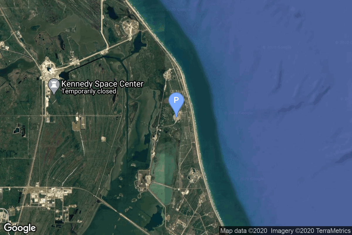
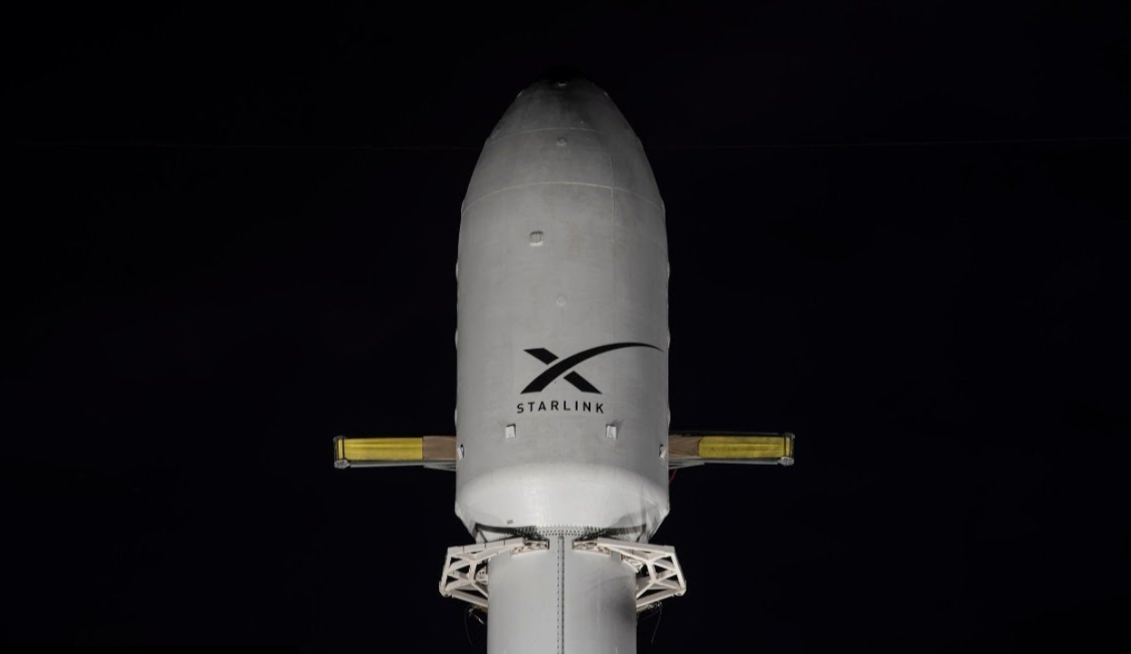
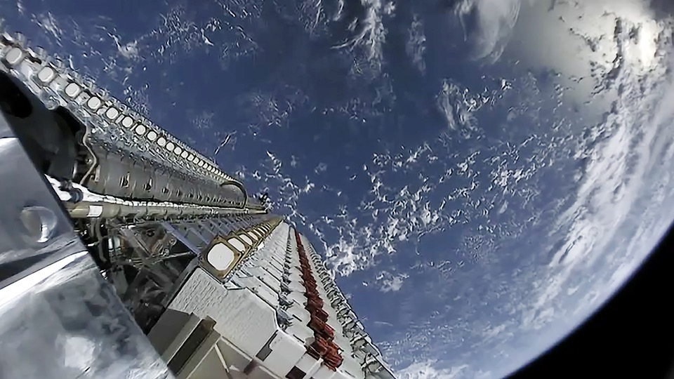
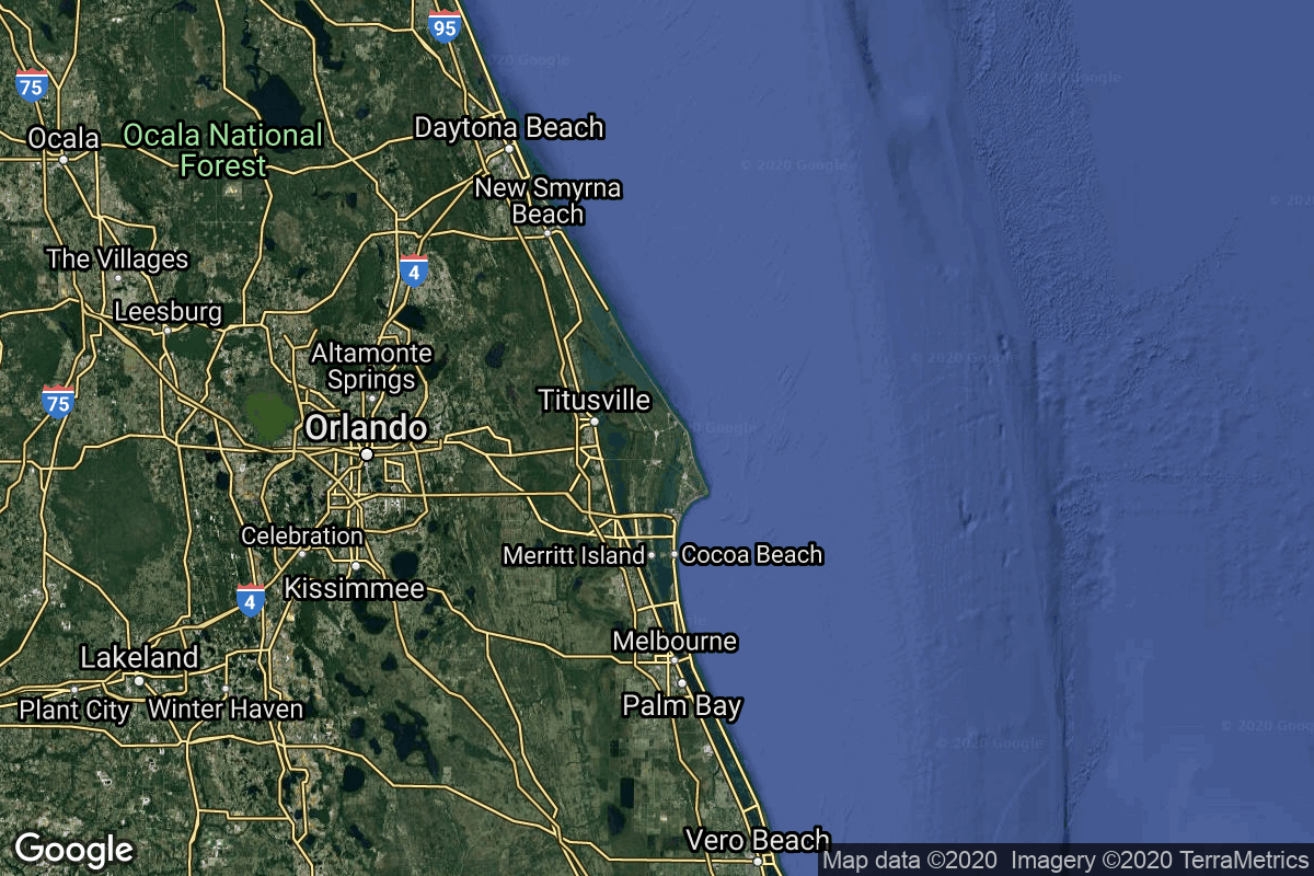
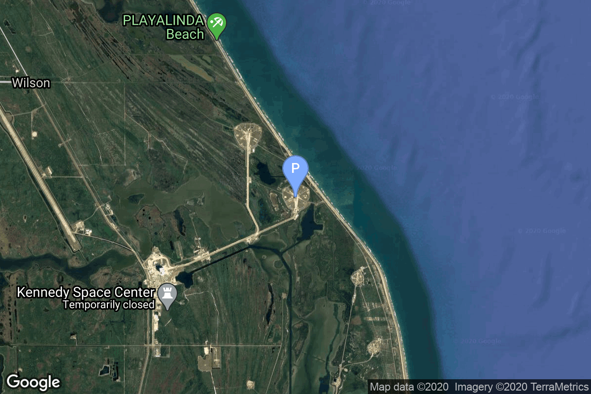
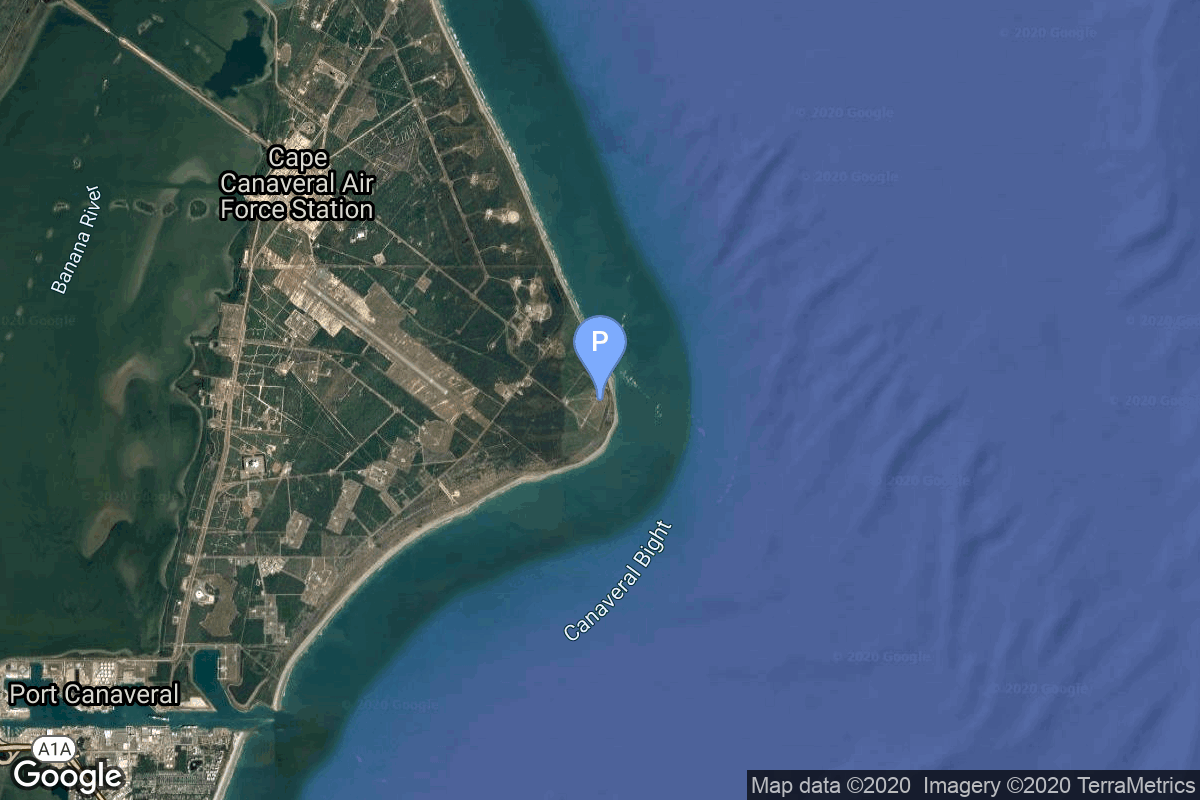
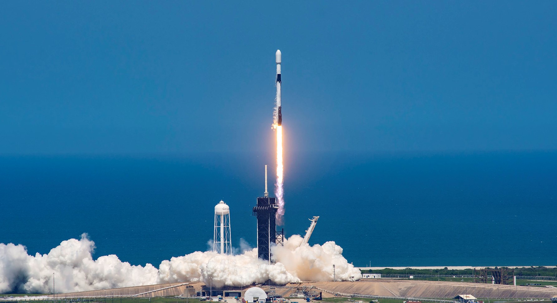
{ "count": 538, "next": "https://lldev.thespacedevs.com/2.0.0/launch/?format=api&limit=10&offset=280&ordering=name", "previous": "https://lldev.thespacedevs.com/2.0.0/launch/?format=api&limit=10&offset=260&ordering=name", "results": [ { "id": "d124e85e-ee0f-4ab2-9be6-fd31516ddee9", "url": "https://lldev.thespacedevs.com/2.0.0/launch/d124e85e-ee0f-4ab2-9be6-fd31516ddee9/?format=api", "launch_library_id": null, "slug": "falcon-9-block-5-starlink-group-6-94", "name": "Falcon 9 Block 5 | Starlink Group 6-94", "status": { "id": 3, "name": "Success" }, "net": "2025-11-19T00:12:20Z", "window_end": "2025-11-19T03:29:00Z", "window_start": "2025-11-18T23:29:00Z", "inhold": false, "tbdtime": false, "tbddate": false, "probability": 95, "holdreason": "", "failreason": "", "hashtag": null, "launch_service_provider": { "id": 121, "url": "https://lldev.thespacedevs.com/2.0.0/agencies/121/?format=api", "name": "SpaceX", "type": "Commercial" }, "rocket": { "id": 8787, "configuration": { "id": 164, "launch_library_id": 188, "url": "https://lldev.thespacedevs.com/2.0.0/config/launcher/164/?format=api", "name": "Falcon 9", "family": "Falcon", "full_name": "Falcon 9 Block 5", "variant": "Block 5" } }, "mission": { "id": 7378, "launch_library_id": null, "name": "Starlink Group 6-94", "description": "A batch of 29 satellites for the Starlink mega-constellation - SpaceX's project for space-based Internet communication system.", "launch_designator": null, "type": "Communications", "orbit": { "id": 8, "name": "Low Earth Orbit", "abbrev": "LEO" } }, "pad": { "id": 80, "url": "https://lldev.thespacedevs.com/2.0.0/pad/80/?format=api", "agency_id": 121, "name": "Space Launch Complex 40", "info_url": null, "wiki_url": "https://en.wikipedia.org/wiki/Cape_Canaveral_Air_Force_Station_Space_Launch_Complex_40", "map_url": "https://www.google.com/maps?q=28.56194122,-80.57735736", "latitude": "28.56194122", "longitude": "-80.57735736", "location": { "id": 12, "url": "https://lldev.thespacedevs.com/2.0.0/location/12/?format=api", "name": "Cape Canaveral SFS, FL, USA", "country_code": "USA", "map_image": "https://thespacedevs-dev.nyc3.digitaloceanspaces.com/media/map_images/location_12_20200803142519.jpg", "total_launch_count": 1116, "total_landing_count": 75 }, "map_image": "https://thespacedevs-dev.nyc3.digitaloceanspaces.com/media/map_images/pad_80_20200803143323.jpg", "total_launch_count": 389 }, "webcast_live": false, "image": "https://thespacedevs-dev.nyc3.digitaloceanspaces.com/media/images/falcon2520925_image_20221009234147.png", "infographic": null, "program": [ { "id": 25, "url": "https://lldev.thespacedevs.com/2.0.0/program/25/?format=api", "name": "Starlink", "description": "Starlink is a satellite internet constellation operated by American aerospace company SpaceX", "agencies": [ { "id": 121, "url": "https://lldev.thespacedevs.com/2.0.0/agencies/121/?format=api", "name": "SpaceX", "type": "Commercial" } ], "image_url": "https://thespacedevs-dev.nyc3.digitaloceanspaces.com/media/images/starlink_program_20231228154508.jpeg", "start_date": "2018-02-22T14:17:00Z", "end_date": null, "info_url": "https://starlink.com", "wiki_url": "https://en.wikipedia.org/wiki/Starlink" } ] }, { "id": "d1ee3587-a7f7-455c-9dc3-1624352262b4", "url": "https://lldev.thespacedevs.com/2.0.0/launch/d1ee3587-a7f7-455c-9dc3-1624352262b4/?format=api", "launch_library_id": null, "slug": "falcon-9-block-5-starlink-group-6-95", "name": "Falcon 9 Block 5 | Starlink Group 6-95", "status": { "id": 3, "name": "Success" }, "net": "2025-12-02T22:18:50Z", "window_end": "2025-12-03T00:16:00Z", "window_start": "2025-12-02T20:16:00Z", "inhold": false, "tbdtime": false, "tbddate": false, "probability": 80, "holdreason": "", "failreason": "", "hashtag": null, "launch_service_provider": { "id": 121, "url": "https://lldev.thespacedevs.com/2.0.0/agencies/121/?format=api", "name": "SpaceX", "type": "Commercial" }, "rocket": { "id": 8813, "configuration": { "id": 164, "launch_library_id": 188, "url": "https://lldev.thespacedevs.com/2.0.0/config/launcher/164/?format=api", "name": "Falcon 9", "family": "Falcon", "full_name": "Falcon 9 Block 5", "variant": "Block 5" } }, "mission": { "id": 7404, "launch_library_id": null, "name": "Starlink Group 6-95", "description": "A batch of 29 satellites for the Starlink mega-constellation - SpaceX's project for space-based Internet communication system.", "launch_designator": null, "type": "Communications", "orbit": { "id": 8, "name": "Low Earth Orbit", "abbrev": "LEO" } }, "pad": { "id": 80, "url": "https://lldev.thespacedevs.com/2.0.0/pad/80/?format=api", "agency_id": 121, "name": "Space Launch Complex 40", "info_url": null, "wiki_url": "https://en.wikipedia.org/wiki/Cape_Canaveral_Air_Force_Station_Space_Launch_Complex_40", "map_url": "https://www.google.com/maps?q=28.56194122,-80.57735736", "latitude": "28.56194122", "longitude": "-80.57735736", "location": { "id": 12, "url": "https://lldev.thespacedevs.com/2.0.0/location/12/?format=api", "name": "Cape Canaveral SFS, FL, USA", "country_code": "USA", "map_image": "https://thespacedevs-dev.nyc3.digitaloceanspaces.com/media/map_images/location_12_20200803142519.jpg", "total_launch_count": 1116, "total_landing_count": 75 }, "map_image": "https://thespacedevs-dev.nyc3.digitaloceanspaces.com/media/map_images/pad_80_20200803143323.jpg", "total_launch_count": 389 }, "webcast_live": false, "image": "https://thespacedevs-dev.nyc3.digitaloceanspaces.com/media/images/falcon2520925_image_20221009234147.png", "infographic": null, "program": [ { "id": 25, "url": "https://lldev.thespacedevs.com/2.0.0/program/25/?format=api", "name": "Starlink", "description": "Starlink is a satellite internet constellation operated by American aerospace company SpaceX", "agencies": [ { "id": 121, "url": "https://lldev.thespacedevs.com/2.0.0/agencies/121/?format=api", "name": "SpaceX", "type": "Commercial" } ], "image_url": "https://thespacedevs-dev.nyc3.digitaloceanspaces.com/media/images/starlink_program_20231228154508.jpeg", "start_date": "2018-02-22T14:17:00Z", "end_date": null, "info_url": "https://starlink.com", "wiki_url": "https://en.wikipedia.org/wiki/Starlink" } ] }, { "id": "7e36b745-9e50-43ce-9911-ee33aa540f72", "url": "https://lldev.thespacedevs.com/2.0.0/launch/7e36b745-9e50-43ce-9911-ee33aa540f72/?format=api", "launch_library_id": null, "slug": "falcon-9-block-5-starlink-group-6-96", "name": "Falcon 9 Block 5 | Starlink Group 6-96", "status": { "id": 3, "name": "Success" }, "net": "2026-01-09T21:41:00Z", "window_end": "2026-01-09T22:03:00Z", "window_start": "2026-01-09T18:03:00Z", "inhold": false, "tbdtime": false, "tbddate": false, "probability": 95, "holdreason": "", "failreason": "", "hashtag": null, "launch_service_provider": { "id": 121, "url": "https://lldev.thespacedevs.com/2.0.0/agencies/121/?format=api", "name": "SpaceX", "type": "Commercial" }, "rocket": { "id": 8869, "configuration": { "id": 164, "launch_library_id": 188, "url": "https://lldev.thespacedevs.com/2.0.0/config/launcher/164/?format=api", "name": "Falcon 9", "family": "Falcon", "full_name": "Falcon 9 Block 5", "variant": "Block 5" } }, "mission": { "id": 7460, "launch_library_id": null, "name": "Starlink Group 6-96", "description": "A batch of 29 satellites for the Starlink mega-constellation - SpaceX's project for space-based Internet communication system.", "launch_designator": null, "type": "Communications", "orbit": { "id": 8, "name": "Low Earth Orbit", "abbrev": "LEO" } }, "pad": { "id": 80, "url": "https://lldev.thespacedevs.com/2.0.0/pad/80/?format=api", "agency_id": 121, "name": "Space Launch Complex 40", "info_url": null, "wiki_url": "https://en.wikipedia.org/wiki/Cape_Canaveral_Air_Force_Station_Space_Launch_Complex_40", "map_url": "https://www.google.com/maps?q=28.56194122,-80.57735736", "latitude": "28.56194122", "longitude": "-80.57735736", "location": { "id": 12, "url": "https://lldev.thespacedevs.com/2.0.0/location/12/?format=api", "name": "Cape Canaveral SFS, FL, USA", "country_code": "USA", "map_image": "https://thespacedevs-dev.nyc3.digitaloceanspaces.com/media/map_images/location_12_20200803142519.jpg", "total_launch_count": 1116, "total_landing_count": 75 }, "map_image": "https://thespacedevs-dev.nyc3.digitaloceanspaces.com/media/map_images/pad_80_20200803143323.jpg", "total_launch_count": 389 }, "webcast_live": false, "image": "https://thespacedevs-dev.nyc3.digitaloceanspaces.com/media/images/falcon2520925_image_20221009234147.png", "infographic": null, "program": [ { "id": 25, "url": "https://lldev.thespacedevs.com/2.0.0/program/25/?format=api", "name": "Starlink", "description": "Starlink is a satellite internet constellation operated by American aerospace company SpaceX", "agencies": [ { "id": 121, "url": "https://lldev.thespacedevs.com/2.0.0/agencies/121/?format=api", "name": "SpaceX", "type": "Commercial" } ], "image_url": "https://thespacedevs-dev.nyc3.digitaloceanspaces.com/media/images/starlink_program_20231228154508.jpeg", "start_date": "2018-02-22T14:17:00Z", "end_date": null, "info_url": "https://starlink.com", "wiki_url": "https://en.wikipedia.org/wiki/Starlink" } ] }, { "id": "0fb47674-d5c3-4681-ae0a-bff4c8e43d6a", "url": "https://lldev.thespacedevs.com/2.0.0/launch/0fb47674-d5c3-4681-ae0a-bff4c8e43d6a/?format=api", "launch_library_id": null, "slug": "falcon-9-block-5-starlink-group-6-97", "name": "Falcon 9 Block 5 | Starlink Group 6-97", "status": { "id": 3, "name": "Success" }, "net": "2026-01-12T21:08:20Z", "window_end": "2026-01-12T21:42:00Z", "window_start": "2026-01-12T17:42:00Z", "inhold": false, "tbdtime": false, "tbddate": false, "probability": 85, "holdreason": "", "failreason": "", "hashtag": null, "launch_service_provider": { "id": 121, "url": "https://lldev.thespacedevs.com/2.0.0/agencies/121/?format=api", "name": "SpaceX", "type": "Commercial" }, "rocket": { "id": 8870, "configuration": { "id": 164, "launch_library_id": 188, "url": "https://lldev.thespacedevs.com/2.0.0/config/launcher/164/?format=api", "name": "Falcon 9", "family": "Falcon", "full_name": "Falcon 9 Block 5", "variant": "Block 5" } }, "mission": { "id": 7461, "launch_library_id": null, "name": "Starlink Group 6-97", "description": "A batch of 29 satellites for the Starlink mega-constellation - SpaceX's project for space-based Internet communication system.", "launch_designator": null, "type": "Communications", "orbit": { "id": 8, "name": "Low Earth Orbit", "abbrev": "LEO" } }, "pad": { "id": 80, "url": "https://lldev.thespacedevs.com/2.0.0/pad/80/?format=api", "agency_id": 121, "name": "Space Launch Complex 40", "info_url": null, "wiki_url": "https://en.wikipedia.org/wiki/Cape_Canaveral_Air_Force_Station_Space_Launch_Complex_40", "map_url": "https://www.google.com/maps?q=28.56194122,-80.57735736", "latitude": "28.56194122", "longitude": "-80.57735736", "location": { "id": 12, "url": "https://lldev.thespacedevs.com/2.0.0/location/12/?format=api", "name": "Cape Canaveral SFS, FL, USA", "country_code": "USA", "map_image": "https://thespacedevs-dev.nyc3.digitaloceanspaces.com/media/map_images/location_12_20200803142519.jpg", "total_launch_count": 1116, "total_landing_count": 75 }, "map_image": "https://thespacedevs-dev.nyc3.digitaloceanspaces.com/media/map_images/pad_80_20200803143323.jpg", "total_launch_count": 389 }, "webcast_live": false, "image": "https://thespacedevs-dev.nyc3.digitaloceanspaces.com/media/images/falcon2520925_image_20221009234147.png", "infographic": null, "program": [ { "id": 25, "url": "https://lldev.thespacedevs.com/2.0.0/program/25/?format=api", "name": "Starlink", "description": "Starlink is a satellite internet constellation operated by American aerospace company SpaceX", "agencies": [ { "id": 121, "url": "https://lldev.thespacedevs.com/2.0.0/agencies/121/?format=api", "name": "SpaceX", "type": "Commercial" } ], "image_url": "https://thespacedevs-dev.nyc3.digitaloceanspaces.com/media/images/starlink_program_20231228154508.jpeg", "start_date": "2018-02-22T14:17:00Z", "end_date": null, "info_url": "https://starlink.com", "wiki_url": "https://en.wikipedia.org/wiki/Starlink" } ] }, { "id": "b8d9ff2b-a972-4e50-8fff-6c189dbe34cd", "url": "https://lldev.thespacedevs.com/2.0.0/launch/b8d9ff2b-a972-4e50-8fff-6c189dbe34cd/?format=api", "launch_library_id": null, "slug": "falcon-9-block-5-starlink-group-6-98", "name": "Falcon 9 Block 5 | Starlink Group 6-98", "status": { "id": 3, "name": "Success" }, "net": "2026-01-14T18:08:20Z", "window_end": "2026-01-14T22:01:00Z", "window_start": "2026-01-14T18:01:00Z", "inhold": false, "tbdtime": false, "tbddate": false, "probability": 40, "holdreason": "", "failreason": "", "hashtag": null, "launch_service_provider": { "id": 121, "url": "https://lldev.thespacedevs.com/2.0.0/agencies/121/?format=api", "name": "SpaceX", "type": "Commercial" }, "rocket": { "id": 8871, "configuration": { "id": 164, "launch_library_id": 188, "url": "https://lldev.thespacedevs.com/2.0.0/config/launcher/164/?format=api", "name": "Falcon 9", "family": "Falcon", "full_name": "Falcon 9 Block 5", "variant": "Block 5" } }, "mission": { "id": 7462, "launch_library_id": null, "name": "Starlink Group 6-98", "description": "A batch of 29 satellites for the Starlink mega-constellation - SpaceX's project for space-based Internet communication system.", "launch_designator": null, "type": "Communications", "orbit": { "id": 8, "name": "Low Earth Orbit", "abbrev": "LEO" } }, "pad": { "id": 80, "url": "https://lldev.thespacedevs.com/2.0.0/pad/80/?format=api", "agency_id": 121, "name": "Space Launch Complex 40", "info_url": null, "wiki_url": "https://en.wikipedia.org/wiki/Cape_Canaveral_Air_Force_Station_Space_Launch_Complex_40", "map_url": "https://www.google.com/maps?q=28.56194122,-80.57735736", "latitude": "28.56194122", "longitude": "-80.57735736", "location": { "id": 12, "url": "https://lldev.thespacedevs.com/2.0.0/location/12/?format=api", "name": "Cape Canaveral SFS, FL, USA", "country_code": "USA", "map_image": "https://thespacedevs-dev.nyc3.digitaloceanspaces.com/media/map_images/location_12_20200803142519.jpg", "total_launch_count": 1116, "total_landing_count": 75 }, "map_image": "https://thespacedevs-dev.nyc3.digitaloceanspaces.com/media/map_images/pad_80_20200803143323.jpg", "total_launch_count": 389 }, "webcast_live": false, "image": "https://thespacedevs-dev.nyc3.digitaloceanspaces.com/media/images/falcon2520925_image_20221009234147.png", "infographic": null, "program": [ { "id": 25, "url": "https://lldev.thespacedevs.com/2.0.0/program/25/?format=api", "name": "Starlink", "description": "Starlink is a satellite internet constellation operated by American aerospace company SpaceX", "agencies": [ { "id": 121, "url": "https://lldev.thespacedevs.com/2.0.0/agencies/121/?format=api", "name": "SpaceX", "type": "Commercial" } ], "image_url": "https://thespacedevs-dev.nyc3.digitaloceanspaces.com/media/images/starlink_program_20231228154508.jpeg", "start_date": "2018-02-22T14:17:00Z", "end_date": null, "info_url": "https://starlink.com", "wiki_url": "https://en.wikipedia.org/wiki/Starlink" } ] }, { "id": "9d12fbac-53de-4517-9191-4697fbc07dd2", "url": "https://lldev.thespacedevs.com/2.0.0/launch/9d12fbac-53de-4517-9191-4697fbc07dd2/?format=api", "launch_library_id": null, "slug": "falcon-9-block-5-starlink-group-6-99", "name": "Falcon 9 Block 5 | Starlink Group 6-99", "status": { "id": 3, "name": "Success" }, "net": "2025-12-17T13:42:10Z", "window_end": "2025-12-17T16:19:00Z", "window_start": "2025-12-17T12:19:00Z", "inhold": false, "tbdtime": false, "tbddate": false, "probability": 95, "holdreason": "", "failreason": "", "hashtag": null, "launch_service_provider": { "id": 121, "url": "https://lldev.thespacedevs.com/2.0.0/agencies/121/?format=api", "name": "SpaceX", "type": "Commercial" }, "rocket": { "id": 8839, "configuration": { "id": 164, "launch_library_id": 188, "url": "https://lldev.thespacedevs.com/2.0.0/config/launcher/164/?format=api", "name": "Falcon 9", "family": "Falcon", "full_name": "Falcon 9 Block 5", "variant": "Block 5" } }, "mission": { "id": 7430, "launch_library_id": null, "name": "Starlink Group 6-99", "description": "A batch of 29 satellites for the Starlink mega-constellation - SpaceX's project for space-based Internet communication system.", "launch_designator": null, "type": "Communications", "orbit": { "id": 8, "name": "Low Earth Orbit", "abbrev": "LEO" } }, "pad": { "id": 87, "url": "https://lldev.thespacedevs.com/2.0.0/pad/87/?format=api", "agency_id": 121, "name": "Launch Complex 39A", "info_url": null, "wiki_url": "https://en.wikipedia.org/wiki/Kennedy_Space_Center_Launch_Complex_39#Launch_Pad_39A", "map_url": "https://www.google.com/maps?q=28.60822681,-80.60428186", "latitude": "28.60822681", "longitude": "-80.60428186", "location": { "id": 27, "url": "https://lldev.thespacedevs.com/2.0.0/location/27/?format=api", "name": "Kennedy Space Center, FL, USA", "country_code": "USA", "map_image": "https://thespacedevs-dev.nyc3.digitaloceanspaces.com/media/map_images/location_27_20200803142447.jpg", "total_launch_count": 281, "total_landing_count": 0 }, "map_image": "https://thespacedevs-dev.nyc3.digitaloceanspaces.com/media/map_images/pad_87_20200803143537.jpg", "total_launch_count": 222 }, "webcast_live": false, "image": "https://thespacedevs-dev.nyc3.digitaloceanspaces.com/media/images/falcon2520925_image_20221009234147.png", "infographic": null, "program": [ { "id": 25, "url": "https://lldev.thespacedevs.com/2.0.0/program/25/?format=api", "name": "Starlink", "description": "Starlink is a satellite internet constellation operated by American aerospace company SpaceX", "agencies": [ { "id": 121, "url": "https://lldev.thespacedevs.com/2.0.0/agencies/121/?format=api", "name": "SpaceX", "type": "Commercial" } ], "image_url": "https://thespacedevs-dev.nyc3.digitaloceanspaces.com/media/images/starlink_program_20231228154508.jpeg", "start_date": "2018-02-22T14:17:00Z", "end_date": null, "info_url": "https://starlink.com", "wiki_url": "https://en.wikipedia.org/wiki/Starlink" } ] }, { "id": "ce1317de-ec94-4479-9b28-38ebf11f13ae", "url": "https://lldev.thespacedevs.com/2.0.0/launch/ce1317de-ec94-4479-9b28-38ebf11f13ae/?format=api", "launch_library_id": null, "slug": "falcon-9-block-5-telesat-lightspeed-1", "name": "Falcon 9 Block 5 | Telesat Lightspeed 1", "status": { "id": 2, "name": "TBD" }, "net": "2026-12-31T00:00:00Z", "window_end": "2026-12-31T00:00:00Z", "window_start": "2026-12-31T00:00:00Z", "inhold": false, "tbdtime": true, "tbddate": true, "probability": null, "holdreason": "", "failreason": "", "hashtag": null, "launch_service_provider": { "id": 121, "url": "https://lldev.thespacedevs.com/2.0.0/agencies/121/?format=api", "name": "SpaceX", "type": "Commercial" }, "rocket": { "id": 8004, "configuration": { "id": 164, "launch_library_id": 188, "url": "https://lldev.thespacedevs.com/2.0.0/config/launcher/164/?format=api", "name": "Falcon 9", "family": "Falcon", "full_name": "Falcon 9 Block 5", "variant": "Block 5" } }, "mission": { "id": 6540, "launch_library_id": null, "name": "Telesat Lightspeed 1", "description": "Up to 18 satellites manufactured by MDA for Canadian satellite operator Telesat's Lightspeed constellation.", "launch_designator": null, "type": "Communications", "orbit": { "id": 8, "name": "Low Earth Orbit", "abbrev": "LEO" } }, "pad": { "id": 72, "url": "https://lldev.thespacedevs.com/2.0.0/pad/72/?format=api", "agency_id": null, "name": "Unknown Pad", "info_url": null, "wiki_url": "", "map_url": "https://www.google.com/maps?q=28.458,-80.528", "latitude": "28.458", "longitude": "-80.528", "location": { "id": 12, "url": "https://lldev.thespacedevs.com/2.0.0/location/12/?format=api", "name": "Cape Canaveral SFS, FL, USA", "country_code": "USA", "map_image": "https://thespacedevs-dev.nyc3.digitaloceanspaces.com/media/map_images/location_12_20200803142519.jpg", "total_launch_count": 1116, "total_landing_count": 75 }, "map_image": "https://thespacedevs-dev.nyc3.digitaloceanspaces.com/media/map_images/pad_72_20200803143403.jpg", "total_launch_count": 0 }, "webcast_live": false, "image": "https://thespacedevs-dev.nyc3.digitaloceanspaces.com/media/images/falcon_9_image_20230807133459.jpeg", "infographic": null, "program": [] }, { "id": "428edcbe-bbd7-4475-8eb1-3dd90b39ad75", "url": "https://lldev.thespacedevs.com/2.0.0/launch/428edcbe-bbd7-4475-8eb1-3dd90b39ad75/?format=api", "launch_library_id": null, "slug": "falcon-9-block-5-telesat-lightspeed-2", "name": "Falcon 9 Block 5 | Telesat Lightspeed 2", "status": { "id": 2, "name": "TBD" }, "net": "2026-12-31T00:00:00Z", "window_end": "2026-12-31T00:00:00Z", "window_start": "2026-12-31T00:00:00Z", "inhold": false, "tbdtime": true, "tbddate": true, "probability": null, "holdreason": "", "failreason": "", "hashtag": null, "launch_service_provider": { "id": 121, "url": "https://lldev.thespacedevs.com/2.0.0/agencies/121/?format=api", "name": "SpaceX", "type": "Commercial" }, "rocket": { "id": 8005, "configuration": { "id": 164, "launch_library_id": 188, "url": "https://lldev.thespacedevs.com/2.0.0/config/launcher/164/?format=api", "name": "Falcon 9", "family": "Falcon", "full_name": "Falcon 9 Block 5", "variant": "Block 5" } }, "mission": { "id": 6541, "launch_library_id": null, "name": "Telesat Lightspeed 2", "description": "Up to 18 satellites manufactured by MDA for Canadian satellite operator Telesat's Lightspeed constellation.", "launch_designator": null, "type": "Communications", "orbit": { "id": 8, "name": "Low Earth Orbit", "abbrev": "LEO" } }, "pad": { "id": 72, "url": "https://lldev.thespacedevs.com/2.0.0/pad/72/?format=api", "agency_id": null, "name": "Unknown Pad", "info_url": null, "wiki_url": "", "map_url": "https://www.google.com/maps?q=28.458,-80.528", "latitude": "28.458", "longitude": "-80.528", "location": { "id": 12, "url": "https://lldev.thespacedevs.com/2.0.0/location/12/?format=api", "name": "Cape Canaveral SFS, FL, USA", "country_code": "USA", "map_image": "https://thespacedevs-dev.nyc3.digitaloceanspaces.com/media/map_images/location_12_20200803142519.jpg", "total_launch_count": 1116, "total_landing_count": 75 }, "map_image": "https://thespacedevs-dev.nyc3.digitaloceanspaces.com/media/map_images/pad_72_20200803143403.jpg", "total_launch_count": 0 }, "webcast_live": false, "image": "https://thespacedevs-dev.nyc3.digitaloceanspaces.com/media/images/falcon_9_image_20230807133459.jpeg", "infographic": null, "program": [] }, { "id": "d6615c37-dcef-45d1-96c1-3d1a5250bf13", "url": "https://lldev.thespacedevs.com/2.0.0/launch/d6615c37-dcef-45d1-96c1-3d1a5250bf13/?format=api", "launch_library_id": null, "slug": "falcon-9-block-5-telesat-lightspeed-3", "name": "Falcon 9 Block 5 | Telesat Lightspeed 3", "status": { "id": 2, "name": "TBD" }, "net": "2026-12-31T00:00:00Z", "window_end": "2026-12-31T00:00:00Z", "window_start": "2026-12-31T00:00:00Z", "inhold": false, "tbdtime": true, "tbddate": true, "probability": null, "holdreason": "", "failreason": "", "hashtag": null, "launch_service_provider": { "id": 121, "url": "https://lldev.thespacedevs.com/2.0.0/agencies/121/?format=api", "name": "SpaceX", "type": "Commercial" }, "rocket": { "id": 8006, "configuration": { "id": 164, "launch_library_id": 188, "url": "https://lldev.thespacedevs.com/2.0.0/config/launcher/164/?format=api", "name": "Falcon 9", "family": "Falcon", "full_name": "Falcon 9 Block 5", "variant": "Block 5" } }, "mission": { "id": 6542, "launch_library_id": null, "name": "Telesat Lightspeed 3", "description": "Up to 18 satellites manufactured by MDA for Canadian satellite operator Telesat's Lightspeed constellation.", "launch_designator": null, "type": "Communications", "orbit": { "id": 8, "name": "Low Earth Orbit", "abbrev": "LEO" } }, "pad": { "id": 72, "url": "https://lldev.thespacedevs.com/2.0.0/pad/72/?format=api", "agency_id": null, "name": "Unknown Pad", "info_url": null, "wiki_url": "", "map_url": "https://www.google.com/maps?q=28.458,-80.528", "latitude": "28.458", "longitude": "-80.528", "location": { "id": 12, "url": "https://lldev.thespacedevs.com/2.0.0/location/12/?format=api", "name": "Cape Canaveral SFS, FL, USA", "country_code": "USA", "map_image": "https://thespacedevs-dev.nyc3.digitaloceanspaces.com/media/map_images/location_12_20200803142519.jpg", "total_launch_count": 1116, "total_landing_count": 75 }, "map_image": "https://thespacedevs-dev.nyc3.digitaloceanspaces.com/media/map_images/pad_72_20200803143403.jpg", "total_launch_count": 0 }, "webcast_live": false, "image": "https://thespacedevs-dev.nyc3.digitaloceanspaces.com/media/images/falcon_9_image_20230807133459.jpeg", "infographic": null, "program": [] }, { "id": "adfc829a-6704-4d9e-b2ca-1068c38b2b83", "url": "https://lldev.thespacedevs.com/2.0.0/launch/adfc829a-6704-4d9e-b2ca-1068c38b2b83/?format=api", "launch_library_id": null, "slug": "falcon-9-block-5-telesat-lightspeed-4", "name": "Falcon 9 Block 5 | Telesat Lightspeed 4", "status": { "id": 2, "name": "TBD" }, "net": "2026-12-31T00:00:00Z", "window_end": "2026-12-31T00:00:00Z", "window_start": "2026-12-31T00:00:00Z", "inhold": false, "tbdtime": true, "tbddate": true, "probability": null, "holdreason": "", "failreason": "", "hashtag": null, "launch_service_provider": { "id": 121, "url": "https://lldev.thespacedevs.com/2.0.0/agencies/121/?format=api", "name": "SpaceX", "type": "Commercial" }, "rocket": { "id": 8007, "configuration": { "id": 164, "launch_library_id": 188, "url": "https://lldev.thespacedevs.com/2.0.0/config/launcher/164/?format=api", "name": "Falcon 9", "family": "Falcon", "full_name": "Falcon 9 Block 5", "variant": "Block 5" } }, "mission": { "id": 6543, "launch_library_id": null, "name": "Telesat Lightspeed 4", "description": "Up to 18 satellites manufactured by MDA for Canadian satellite operator Telesat's Lightspeed constellation.", "launch_designator": null, "type": "Communications", "orbit": { "id": 8, "name": "Low Earth Orbit", "abbrev": "LEO" } }, "pad": { "id": 72, "url": "https://lldev.thespacedevs.com/2.0.0/pad/72/?format=api", "agency_id": null, "name": "Unknown Pad", "info_url": null, "wiki_url": "", "map_url": "https://www.google.com/maps?q=28.458,-80.528", "latitude": "28.458", "longitude": "-80.528", "location": { "id": 12, "url": "https://lldev.thespacedevs.com/2.0.0/location/12/?format=api", "name": "Cape Canaveral SFS, FL, USA", "country_code": "USA", "map_image": "https://thespacedevs-dev.nyc3.digitaloceanspaces.com/media/map_images/location_12_20200803142519.jpg", "total_launch_count": 1116, "total_landing_count": 75 }, "map_image": "https://thespacedevs-dev.nyc3.digitaloceanspaces.com/media/map_images/pad_72_20200803143403.jpg", "total_launch_count": 0 }, "webcast_live": false, "image": "https://thespacedevs-dev.nyc3.digitaloceanspaces.com/media/images/falcon_9_image_20230807133459.jpeg", "infographic": null, "program": [] } ] }