Launch List
API endpoint that returns all Launch objects or a single launch.
EXAMPLE - /launch/
GET: Return a list of all Launch objects.
FILTERS: Fields - 'name', 'id(s)', 'lsp_id', 'lsp_name', 'serial_number', 'launcher_config__id', 'rocket__spacecraftflight__spacecraft__name'
MODE: 'normal', 'list', 'detailed' EXAMPLE: ?mode=list
SEARCH: Searches through the launch name, rocket name, launch agency, mission name & spacecraft name. EXAMPLE - ?search=SpaceX
GET /2.0.0/launch/?format=api&offset=180&ordering=-net
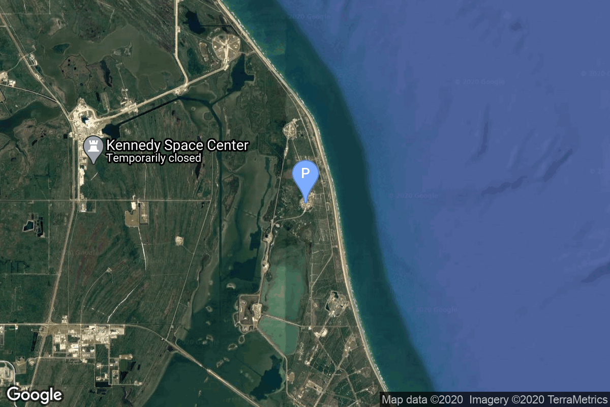
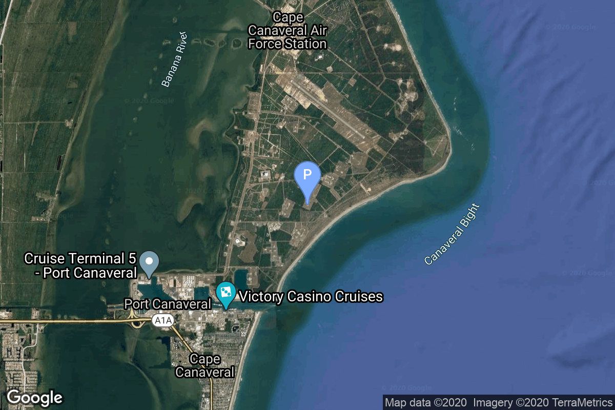
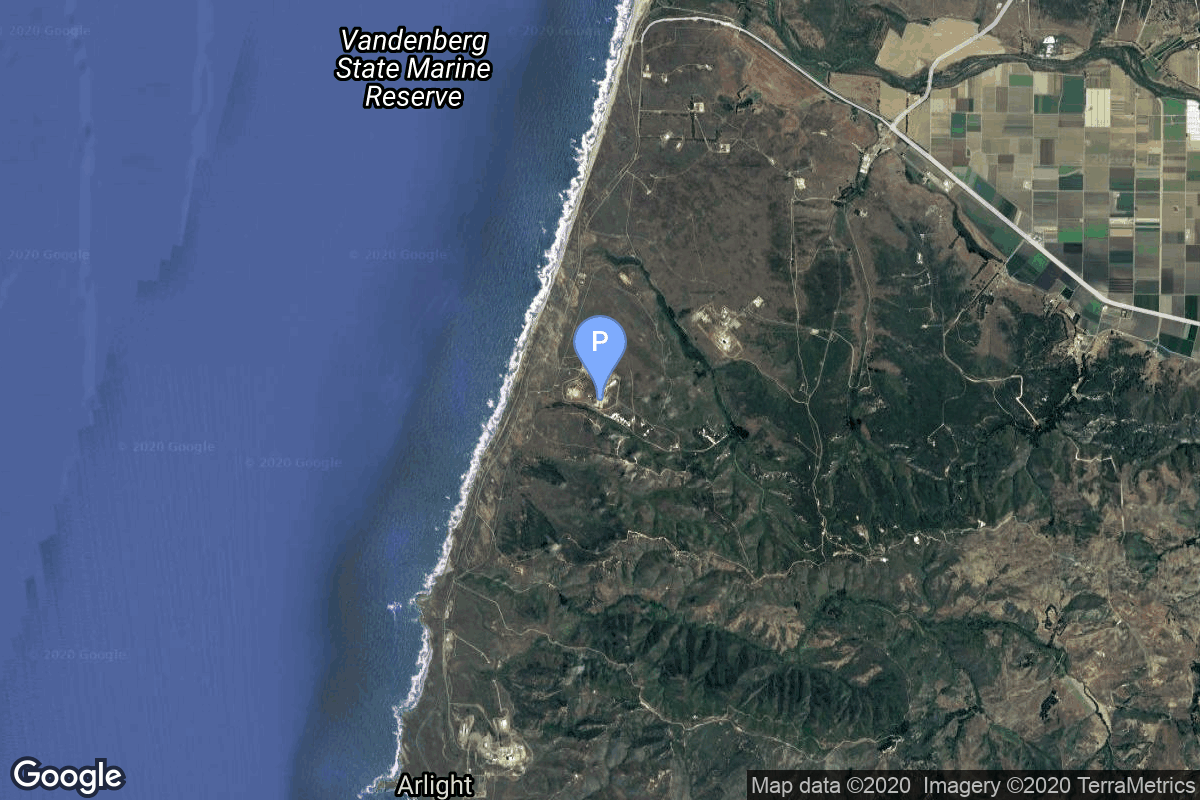
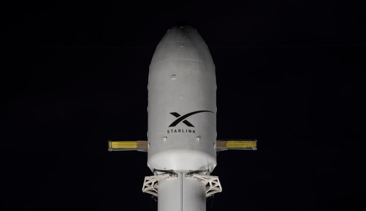
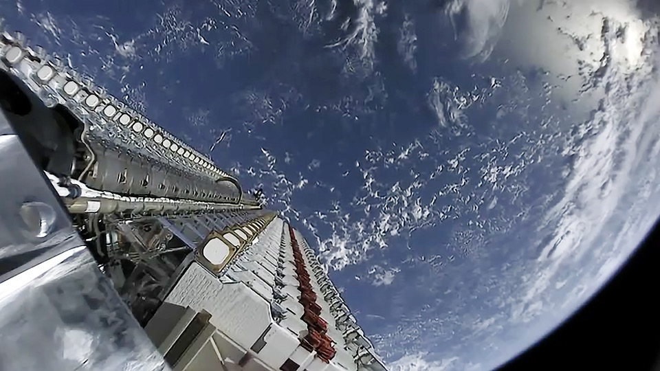
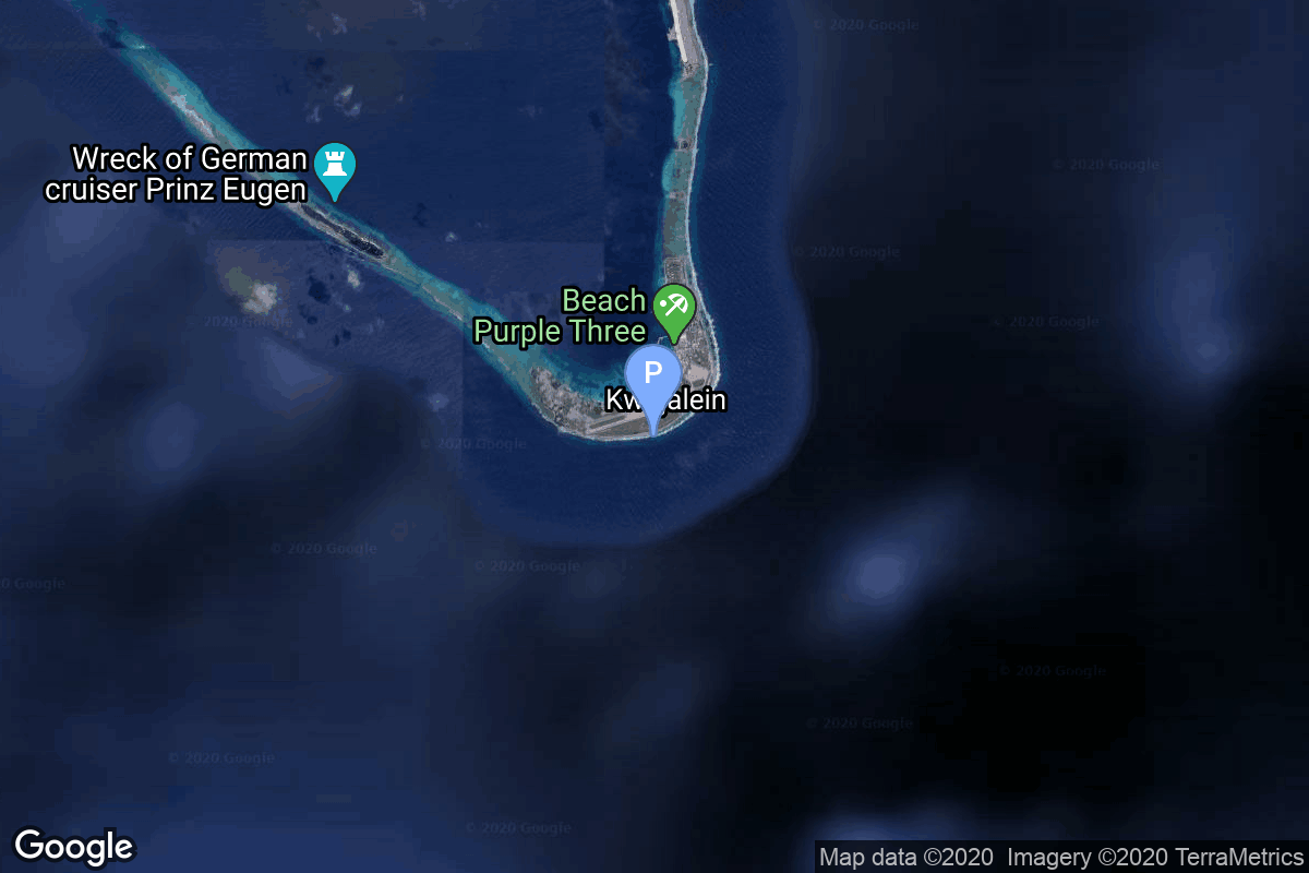
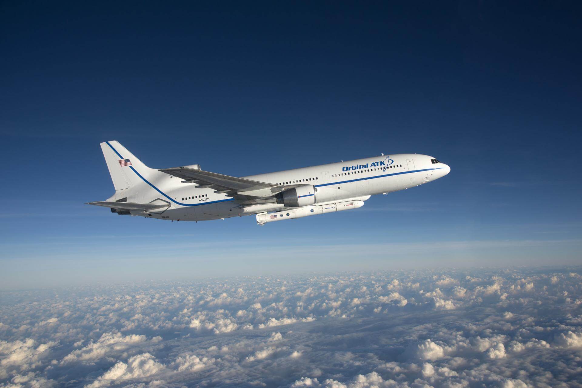
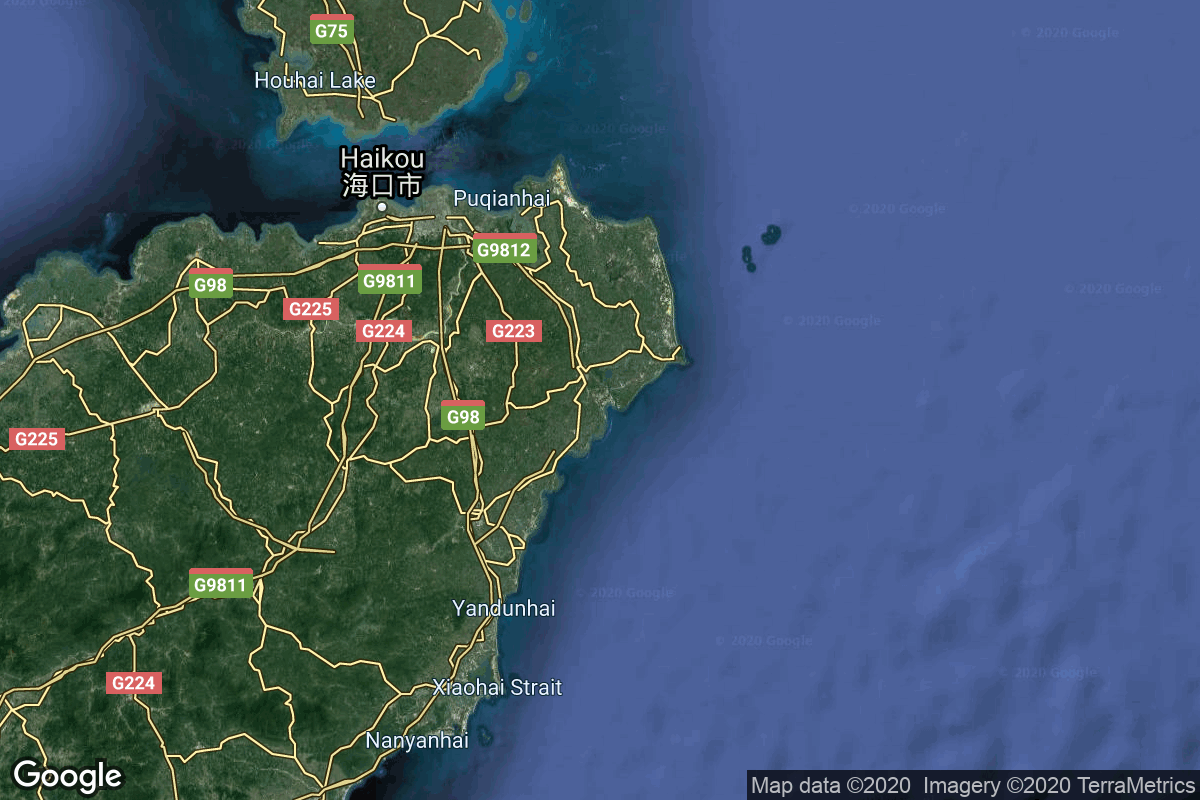
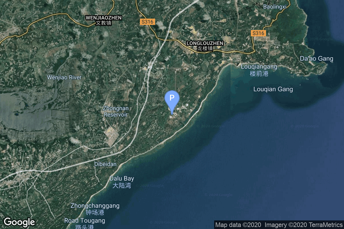
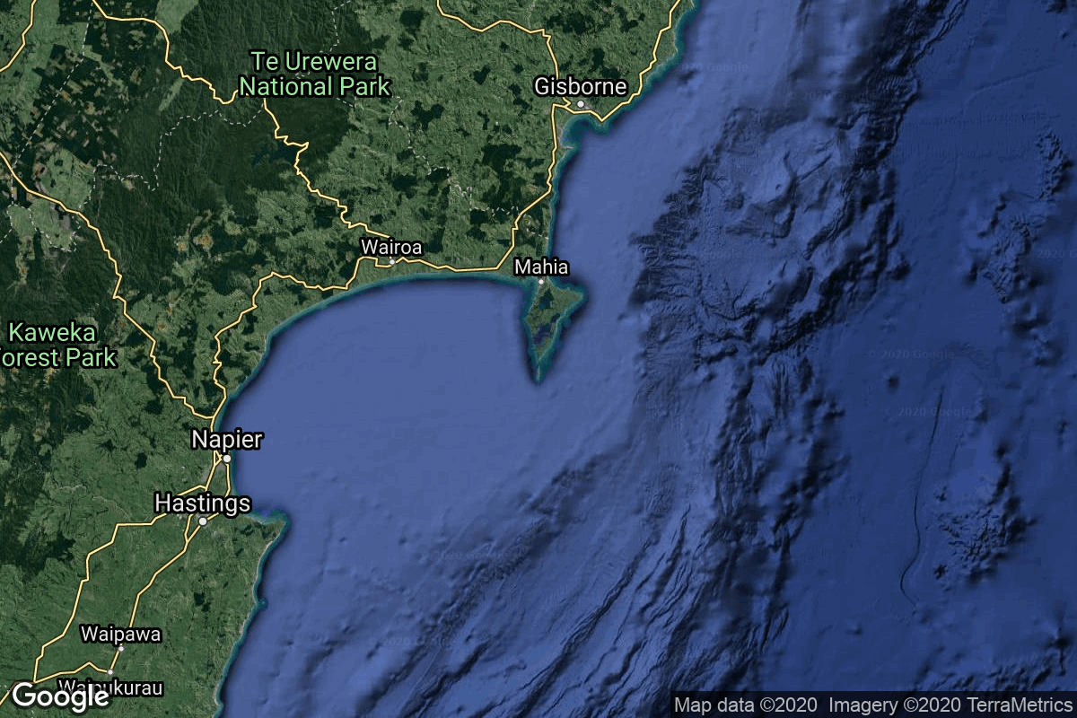
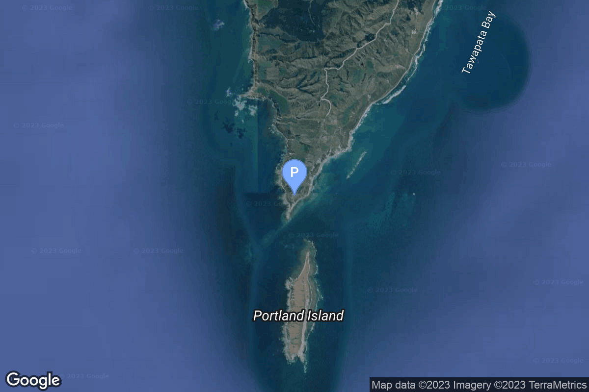
{ "count": 532, "next": "https://lldev.thespacedevs.com/2.0.0/launch/?format=api&limit=10&offset=190&ordering=-net", "previous": "https://lldev.thespacedevs.com/2.0.0/launch/?format=api&limit=10&offset=170&ordering=-net", "results": [ { "id": "ce3db8f7-ba9b-4a2a-953c-c6c6ee926541", "url": "https://lldev.thespacedevs.com/2.0.0/launch/ce3db8f7-ba9b-4a2a-953c-c6c6ee926541/?format=api", "launch_library_id": null, "slug": "falcon-9-block-5-sirius-sxm-11", "name": "Falcon 9 Block 5 | Sirius SXM-11", "status": { "id": 2, "name": "TBD" }, "net": "2026-06-30T00:00:00Z", "window_end": "2026-06-30T00:00:00Z", "window_start": "2026-06-30T00:00:00Z", "inhold": false, "tbdtime": true, "tbddate": true, "probability": null, "holdreason": "", "failreason": "", "hashtag": null, "launch_service_provider": { "id": 121, "url": "https://lldev.thespacedevs.com/2.0.0/agencies/121/?format=api", "name": "SpaceX", "type": "Commercial" }, "rocket": { "id": 9035, "configuration": { "id": 164, "launch_library_id": 188, "url": "https://lldev.thespacedevs.com/2.0.0/config/launcher/164/?format=api", "name": "Falcon 9", "family": "Falcon", "full_name": "Falcon 9 Block 5", "variant": "Block 5" } }, "mission": { "id": 7630, "launch_library_id": null, "name": "Sirius SXM-11", "description": "SXM-11 is the 12th high-powered, digital, audio radio satellite built by Lanteris Space (ex-Maxar, Space System/Loral) for SiriusXM. The SXM-11 satellite will be based on the proven IM-1300 (ex-LS-1300)-class platform and built at the company’s manufacturing facility in Palo Alto, California. SXM-11 has a large, mesh, unfurlable reflector almost 10 meters in diameter that allows SiriusXM programming to reach its radios, including those in moving vehicles.", "launch_designator": null, "type": "Communications", "orbit": { "id": 2, "name": "Geostationary Transfer Orbit", "abbrev": "GTO" } }, "pad": { "id": 80, "url": "https://lldev.thespacedevs.com/2.0.0/pad/80/?format=api", "agency_id": 121, "name": "Space Launch Complex 40", "info_url": null, "wiki_url": "https://en.wikipedia.org/wiki/Cape_Canaveral_Air_Force_Station_Space_Launch_Complex_40", "map_url": "https://www.google.com/maps?q=28.56194122,-80.57735736", "latitude": "28.56194122", "longitude": "-80.57735736", "location": { "id": 12, "url": "https://lldev.thespacedevs.com/2.0.0/location/12/?format=api", "name": "Cape Canaveral SFS, FL, USA", "country_code": "USA", "map_image": "https://thespacedevs-dev.nyc3.digitaloceanspaces.com/media/map_images/location_12_20200803142519.jpg", "total_launch_count": 1115, "total_landing_count": 75 }, "map_image": "https://thespacedevs-dev.nyc3.digitaloceanspaces.com/media/map_images/pad_80_20200803143323.jpg", "total_launch_count": 388 }, "webcast_live": false, "image": "https://thespacedevs-dev.nyc3.digitaloceanspaces.com/media/images/falcon_9_liftof_image_20241206131356.jpg", "infographic": null, "program": [] }, { "id": "d8eb4b68-5307-4b3b-b585-5598958defc2", "url": "https://lldev.thespacedevs.com/2.0.0/launch/d8eb4b68-5307-4b3b-b585-5598958defc2/?format=api", "launch_library_id": null, "slug": "smart-dragon-3-unknown-payload", "name": "Smart Dragon 3 | Unknown Payload", "status": { "id": 2, "name": "TBD" }, "net": "2026-06-30T00:00:00Z", "window_end": "2026-06-30T00:00:00Z", "window_start": "2026-06-30T00:00:00Z", "inhold": false, "tbdtime": true, "tbddate": true, "probability": null, "holdreason": "", "failreason": "", "hashtag": null, "launch_service_provider": { "id": 272, "url": "https://lldev.thespacedevs.com/2.0.0/agencies/272/?format=api", "name": "China Rocket Co. Ltd.", "type": "Commercial" }, "rocket": { "id": 9037, "configuration": { "id": 484, "launch_library_id": null, "url": "https://lldev.thespacedevs.com/2.0.0/config/launcher/484/?format=api", "name": "Smart Dragon 3", "family": "Smart Dragon", "full_name": "Smart Dragon 3", "variant": "" } }, "mission": { "id": 7632, "launch_library_id": null, "name": "Unknown Payload", "description": "Details TBD.", "launch_designator": null, "type": "Unknown", "orbit": { "id": 25, "name": "Unknown", "abbrev": "N/A" } }, "pad": { "id": 89, "url": "https://lldev.thespacedevs.com/2.0.0/pad/89/?format=api", "agency_id": 88, "name": "Haiyang offshore launch location", "info_url": null, "wiki_url": null, "map_url": "https://www.google.com/maps?q=36.631333,121.198361", "latitude": "36.631333", "longitude": "121.198361", "location": { "id": 185, "url": "https://lldev.thespacedevs.com/2.0.0/location/185/?format=api", "name": "Haiyang Oriental Spaceport", "country_code": "CHN", "map_image": "https://thespacedevs-dev.nyc3.digitaloceanspaces.com/media/map_images/location_haiyang_oriental_spaceport_20251128181322.jpg", "total_launch_count": 25, "total_landing_count": 0 }, "map_image": "https://thespacedevs-dev.nyc3.digitaloceanspaces.com/media/map_images/pad_89_20200803143242.jpg", "total_launch_count": 9 }, "webcast_live": false, "image": "https://thespacedevs-dev.nyc3.digitaloceanspaces.com/media/images/smart_dragon_3__image_20240925074606.jpg", "infographic": null, "program": [] }, { "id": "0740c699-9877-4331-8aef-4e29ea6281c0", "url": "https://lldev.thespacedevs.com/2.0.0/launch/0740c699-9877-4331-8aef-4e29ea6281c0/?format=api", "launch_library_id": null, "slug": "falcon-9-block-5-starlink-group-17-40", "name": "Falcon 9 Block 5 | Starlink Group 17-40", "status": { "id": 1, "name": "Go" }, "net": "2026-06-28T14:00:00Z", "window_end": "2026-06-28T18:00:00Z", "window_start": "2026-06-28T14:00:00Z", "inhold": false, "tbdtime": false, "tbddate": false, "probability": null, "holdreason": "", "failreason": "", "hashtag": null, "launch_service_provider": { "id": 121, "url": "https://lldev.thespacedevs.com/2.0.0/agencies/121/?format=api", "name": "SpaceX", "type": "Commercial" }, "rocket": { "id": 9066, "configuration": { "id": 164, "launch_library_id": 188, "url": "https://lldev.thespacedevs.com/2.0.0/config/launcher/164/?format=api", "name": "Falcon 9", "family": "Falcon", "full_name": "Falcon 9 Block 5", "variant": "Block 5" } }, "mission": { "id": 7661, "launch_library_id": null, "name": "Starlink Group 17-40", "description": "A batch of 24 satellites for the Starlink mega-constellation - SpaceX's project for space-based Internet communication system.", "launch_designator": null, "type": "Communications", "orbit": { "id": 8, "name": "Low Earth Orbit", "abbrev": "LEO" } }, "pad": { "id": 16, "url": "https://lldev.thespacedevs.com/2.0.0/pad/16/?format=api", "agency_id": null, "name": "Space Launch Complex 4E", "info_url": null, "wiki_url": "https://en.wikipedia.org/wiki/Vandenberg_Space_Launch_Complex_4#SLC-4E", "map_url": "https://www.google.com/maps?q=34.632,-120.611", "latitude": "34.632", "longitude": "-120.611", "location": { "id": 11, "url": "https://lldev.thespacedevs.com/2.0.0/location/11/?format=api", "name": "Vandenberg SFB, CA, USA", "country_code": "USA", "map_image": "https://thespacedevs-dev.nyc3.digitaloceanspaces.com/media/map_images/location_11_20200803142416.jpg", "total_launch_count": 892, "total_landing_count": 35 }, "map_image": "https://thespacedevs-dev.nyc3.digitaloceanspaces.com/media/map_images/pad_16_20200803143532.jpg", "total_launch_count": 276 }, "webcast_live": false, "image": "https://thespacedevs-dev.nyc3.digitaloceanspaces.com/media/images/falcon2520925_image_20221009234147.png", "infographic": null, "program": [ { "id": 25, "url": "https://lldev.thespacedevs.com/2.0.0/program/25/?format=api", "name": "Starlink", "description": "Starlink is a satellite internet constellation operated by American aerospace company SpaceX", "agencies": [ { "id": 121, "url": "https://lldev.thespacedevs.com/2.0.0/agencies/121/?format=api", "name": "SpaceX", "type": "Commercial" } ], "image_url": "https://thespacedevs-dev.nyc3.digitaloceanspaces.com/media/images/starlink_program_20231228154508.jpeg", "start_date": "2018-02-22T14:17:00Z", "end_date": null, "info_url": "https://starlink.com", "wiki_url": "https://en.wikipedia.org/wiki/Starlink" } ] }, { "id": "f596ad48-881e-47d6-806d-113c6dd97427", "url": "https://lldev.thespacedevs.com/2.0.0/launch/f596ad48-881e-47d6-806d-113c6dd97427/?format=api", "launch_library_id": null, "slug": "pegasus-xl-swift-boost-mission", "name": "Pegasus XL | Swift Boost Mission", "status": { "id": 1, "name": "Go" }, "net": "2026-06-27T09:00:00Z", "window_end": "2026-06-27T14:28:00Z", "window_start": "2026-06-27T09:00:00Z", "inhold": false, "tbdtime": true, "tbddate": false, "probability": null, "holdreason": "", "failreason": "", "hashtag": null, "launch_service_provider": { "id": 257, "url": "https://lldev.thespacedevs.com/2.0.0/agencies/257/?format=api", "name": "Northrop Grumman Space Systems", "type": "Commercial" }, "rocket": { "id": 8811, "configuration": { "id": 173, "launch_library_id": 8, "url": "https://lldev.thespacedevs.com/2.0.0/config/launcher/173/?format=api", "name": "Pegasus XL", "family": "Pegasus", "full_name": "Pegasus XL", "variant": "" } }, "mission": { "id": 7402, "launch_library_id": null, "name": "Swift Boost Mission", "description": "Contracted by NASA under the Small Business Innovation Research Phase 3 contract, Katalyst Space Technologies' LINK servicing spacecraft will rendezvous and attach to NASA’s Neil Gehrels Swift Observatory to re-boost its orbit. This aims to demonstrate a key capability for the future of space exploration and extending the Swift mission’s science lifetime in gamma ray astronomy.", "launch_designator": null, "type": "Mission Extension", "orbit": { "id": 8, "name": "Low Earth Orbit", "abbrev": "LEO" } }, "pad": { "id": 59, "url": "https://lldev.thespacedevs.com/2.0.0/pad/59/?format=api", "agency_id": null, "name": "Kwajalein Atoll", "info_url": null, "wiki_url": "https://en.wikipedia.org/wiki/Kwajalein_Atoll", "map_url": "https://www.google.com/maps?q=8.716667,167.733333", "latitude": "8.716667", "longitude": "167.733333", "location": { "id": 20, "url": "https://lldev.thespacedevs.com/2.0.0/location/20/?format=api", "name": "Air launch to orbit", "country_code": "???", "map_image": "https://thespacedevs-dev.nyc3.digitaloceanspaces.com/media/map_images/location_20_20200803142433.jpg", "total_launch_count": 51, "total_landing_count": 0 }, "map_image": "https://thespacedevs-dev.nyc3.digitaloceanspaces.com/media/map_images/pad_59_20200803143427.jpg", "total_launch_count": 4 }, "webcast_live": false, "image": "https://thespacedevs-dev.nyc3.digitaloceanspaces.com/media/images/pegasus_xl_moun_image_20240307124328.jpeg", "infographic": "https://thespacedevs-dev.nyc3.digitaloceanspaces.com/media/infographic_images/pegasus2520xl_infographic_20260612071925.jpeg", "program": [] }, { "id": "a4fb0d1a-2655-4552-b950-f2f6340ef85a", "url": "https://lldev.thespacedevs.com/2.0.0/launch/a4fb0d1a-2655-4552-b950-f2f6340ef85a/?format=api", "launch_library_id": null, "slug": "falcon-9-block-5-starlink-group-17-45", "name": "Falcon 9 Block 5 | Starlink Group 17-45", "status": { "id": 1, "name": "Go" }, "net": "2026-06-25T02:48:00Z", "window_end": "2026-06-25T04:48:00Z", "window_start": "2026-06-25T02:48:00Z", "inhold": false, "tbdtime": false, "tbddate": false, "probability": null, "holdreason": "", "failreason": "", "hashtag": null, "launch_service_provider": { "id": 121, "url": "https://lldev.thespacedevs.com/2.0.0/agencies/121/?format=api", "name": "SpaceX", "type": "Commercial" }, "rocket": { "id": 9060, "configuration": { "id": 164, "launch_library_id": 188, "url": "https://lldev.thespacedevs.com/2.0.0/config/launcher/164/?format=api", "name": "Falcon 9", "family": "Falcon", "full_name": "Falcon 9 Block 5", "variant": "Block 5" } }, "mission": { "id": 7655, "launch_library_id": null, "name": "Starlink Group 17-45", "description": "A batch of 24 satellites for the Starlink mega-constellation - SpaceX's project for space-based Internet communication system.", "launch_designator": null, "type": "Communications", "orbit": { "id": 8, "name": "Low Earth Orbit", "abbrev": "LEO" } }, "pad": { "id": 16, "url": "https://lldev.thespacedevs.com/2.0.0/pad/16/?format=api", "agency_id": null, "name": "Space Launch Complex 4E", "info_url": null, "wiki_url": "https://en.wikipedia.org/wiki/Vandenberg_Space_Launch_Complex_4#SLC-4E", "map_url": "https://www.google.com/maps?q=34.632,-120.611", "latitude": "34.632", "longitude": "-120.611", "location": { "id": 11, "url": "https://lldev.thespacedevs.com/2.0.0/location/11/?format=api", "name": "Vandenberg SFB, CA, USA", "country_code": "USA", "map_image": "https://thespacedevs-dev.nyc3.digitaloceanspaces.com/media/map_images/location_11_20200803142416.jpg", "total_launch_count": 892, "total_landing_count": 35 }, "map_image": "https://thespacedevs-dev.nyc3.digitaloceanspaces.com/media/map_images/pad_16_20200803143532.jpg", "total_launch_count": 276 }, "webcast_live": false, "image": "https://thespacedevs-dev.nyc3.digitaloceanspaces.com/media/images/falcon2520925_image_20221009234147.png", "infographic": null, "program": [ { "id": 25, "url": "https://lldev.thespacedevs.com/2.0.0/program/25/?format=api", "name": "Starlink", "description": "Starlink is a satellite internet constellation operated by American aerospace company SpaceX", "agencies": [ { "id": 121, "url": "https://lldev.thespacedevs.com/2.0.0/agencies/121/?format=api", "name": "SpaceX", "type": "Commercial" } ], "image_url": "https://thespacedevs-dev.nyc3.digitaloceanspaces.com/media/images/starlink_program_20231228154508.jpeg", "start_date": "2018-02-22T14:17:00Z", "end_date": null, "info_url": "https://starlink.com", "wiki_url": "https://en.wikipedia.org/wiki/Starlink" } ] }, { "id": "74bf8472-9ba1-42d6-9245-b014f8e91de9", "url": "https://lldev.thespacedevs.com/2.0.0/launch/74bf8472-9ba1-42d6-9245-b014f8e91de9/?format=api", "launch_library_id": null, "slug": "falcon-9-block-5-project-starfall-demonstration-mi", "name": "Falcon 9 Block 5 | Project Starfall Demonstration Mission", "status": { "id": 1, "name": "Go" }, "net": "2026-06-23T10:43:00Z", "window_end": "2026-06-23T11:43:00Z", "window_start": "2026-06-23T10:43:00Z", "inhold": false, "tbdtime": false, "tbddate": false, "probability": null, "holdreason": "", "failreason": "", "hashtag": null, "launch_service_provider": { "id": 121, "url": "https://lldev.thespacedevs.com/2.0.0/agencies/121/?format=api", "name": "SpaceX", "type": "Commercial" }, "rocket": { "id": 9063, "configuration": { "id": 164, "launch_library_id": 188, "url": "https://lldev.thespacedevs.com/2.0.0/config/launcher/164/?format=api", "name": "Falcon 9", "family": "Falcon", "full_name": "Falcon 9 Block 5", "variant": "Block 5" } }, "mission": { "id": 7658, "launch_library_id": null, "name": "Project Starfall Demonstration Mission", "description": "Note: Mission profile and payload details are TBD.\r\n\r\nDemonstration mission for SpaceX’s Project Starfall, which aims to mass-produce reentry capsules designed to autonomously transport valuable customer experiments and other payloads safely back from space to Earth, including for in-orbit manufacturing. \r\n\r\nStarfall is a cylindrical shaped capsule approximately 0.75 meters tall with a diameter of 3.1 meters, weighing approximately 2100 kilograms, and capable of carrying 1000 kilograms of payload. It is designed to be carried on Starship flights.", "launch_designator": null, "type": "Technology", "orbit": { "id": 8, "name": "Low Earth Orbit", "abbrev": "LEO" } }, "pad": { "id": 80, "url": "https://lldev.thespacedevs.com/2.0.0/pad/80/?format=api", "agency_id": 121, "name": "Space Launch Complex 40", "info_url": null, "wiki_url": "https://en.wikipedia.org/wiki/Cape_Canaveral_Air_Force_Station_Space_Launch_Complex_40", "map_url": "https://www.google.com/maps?q=28.56194122,-80.57735736", "latitude": "28.56194122", "longitude": "-80.57735736", "location": { "id": 12, "url": "https://lldev.thespacedevs.com/2.0.0/location/12/?format=api", "name": "Cape Canaveral SFS, FL, USA", "country_code": "USA", "map_image": "https://thespacedevs-dev.nyc3.digitaloceanspaces.com/media/map_images/location_12_20200803142519.jpg", "total_launch_count": 1115, "total_landing_count": 75 }, "map_image": "https://thespacedevs-dev.nyc3.digitaloceanspaces.com/media/map_images/pad_80_20200803143323.jpg", "total_launch_count": 388 }, "webcast_live": false, "image": "https://thespacedevs-dev.nyc3.digitaloceanspaces.com/media/images/falcon_9_liftof_image_20241206131356.jpg", "infographic": null, "program": [] }, { "id": "f72c6ea1-dc44-4f0e-bb51-1c52eff9efe8", "url": "https://lldev.thespacedevs.com/2.0.0/launch/f72c6ea1-dc44-4f0e-bb51-1c52eff9efe8/?format=api", "launch_library_id": null, "slug": "long-march-7a-unknown-payload", "name": "Long March 7A | Unknown Payload", "status": { "id": 1, "name": "Go" }, "net": "2026-06-23T02:10:00Z", "window_end": "2026-06-23T03:00:00Z", "window_start": "2026-06-23T02:02:00Z", "inhold": false, "tbdtime": true, "tbddate": false, "probability": null, "holdreason": "", "failreason": "", "hashtag": null, "launch_service_provider": { "id": 88, "url": "https://lldev.thespacedevs.com/2.0.0/agencies/88/?format=api", "name": "China Aerospace Science and Technology Corporation", "type": "Government" }, "rocket": { "id": 9045, "configuration": { "id": 216, "launch_library_id": 247, "url": "https://lldev.thespacedevs.com/2.0.0/config/launcher/216/?format=api", "name": "Long March 7A", "family": "Long March", "full_name": "Long March 7A", "variant": "A" } }, "mission": { "id": 7640, "launch_library_id": null, "name": "Unknown Payload", "description": "Details TBD.", "launch_designator": null, "type": "Unknown", "orbit": { "id": 25, "name": "Unknown", "abbrev": "N/A" } }, "pad": { "id": 176, "url": "https://lldev.thespacedevs.com/2.0.0/pad/176/?format=api", "agency_id": null, "name": "201", "info_url": null, "wiki_url": "https://en.wikipedia.org/wiki/Wenchang_Spacecraft_Launch_Site", "map_url": "https://www.google.com/maps?q=19.618452,110.955356", "latitude": "19.618452", "longitude": "110.955356", "location": { "id": 8, "url": "https://lldev.thespacedevs.com/2.0.0/location/8/?format=api", "name": "Wenchang Space Launch Site, People's Republic of China", "country_code": "CHN", "map_image": "https://thespacedevs-dev.nyc3.digitaloceanspaces.com/media/map_images/location_8_20200803142445.jpg", "total_launch_count": 65, "total_landing_count": 0 }, "map_image": "https://thespacedevs-dev.nyc3.digitaloceanspaces.com/media/map_images/pad_176_20200803143412.jpg", "total_launch_count": 30 }, "webcast_live": false, "image": "https://thespacedevs-dev.nyc3.digitaloceanspaces.com/media/images/cz-7a_launch_2_image_20251206093324.jpeg", "infographic": null, "program": [] }, { "id": "de5fbae3-66b9-4bbf-8938-4d55f3318c07", "url": "https://lldev.thespacedevs.com/2.0.0/launch/de5fbae3-66b9-4bbf-8938-4d55f3318c07/?format=api", "launch_library_id": null, "slug": "falcon-9-block-5-starlink-group-17-28", "name": "Falcon 9 Block 5 | Starlink Group 17-28", "status": { "id": 3, "name": "Success" }, "net": "2026-06-21T16:39:06Z", "window_end": "2026-06-21T18:00:00Z", "window_start": "2026-06-21T14:00:00Z", "inhold": false, "tbdtime": false, "tbddate": false, "probability": null, "holdreason": "", "failreason": "", "hashtag": null, "launch_service_provider": { "id": 121, "url": "https://lldev.thespacedevs.com/2.0.0/agencies/121/?format=api", "name": "SpaceX", "type": "Commercial" }, "rocket": { "id": 9059, "configuration": { "id": 164, "launch_library_id": 188, "url": "https://lldev.thespacedevs.com/2.0.0/config/launcher/164/?format=api", "name": "Falcon 9", "family": "Falcon", "full_name": "Falcon 9 Block 5", "variant": "Block 5" } }, "mission": { "id": 7654, "launch_library_id": null, "name": "Starlink Group 17-28", "description": "A batch of 24 satellites for the Starlink mega-constellation - SpaceX's project for space-based Internet communication system.", "launch_designator": null, "type": "Communications", "orbit": { "id": 8, "name": "Low Earth Orbit", "abbrev": "LEO" } }, "pad": { "id": 16, "url": "https://lldev.thespacedevs.com/2.0.0/pad/16/?format=api", "agency_id": null, "name": "Space Launch Complex 4E", "info_url": null, "wiki_url": "https://en.wikipedia.org/wiki/Vandenberg_Space_Launch_Complex_4#SLC-4E", "map_url": "https://www.google.com/maps?q=34.632,-120.611", "latitude": "34.632", "longitude": "-120.611", "location": { "id": 11, "url": "https://lldev.thespacedevs.com/2.0.0/location/11/?format=api", "name": "Vandenberg SFB, CA, USA", "country_code": "USA", "map_image": "https://thespacedevs-dev.nyc3.digitaloceanspaces.com/media/map_images/location_11_20200803142416.jpg", "total_launch_count": 892, "total_landing_count": 35 }, "map_image": "https://thespacedevs-dev.nyc3.digitaloceanspaces.com/media/map_images/pad_16_20200803143532.jpg", "total_launch_count": 276 }, "webcast_live": false, "image": "https://thespacedevs-dev.nyc3.digitaloceanspaces.com/media/images/falcon2520925_image_20221009234147.png", "infographic": null, "program": [ { "id": 25, "url": "https://lldev.thespacedevs.com/2.0.0/program/25/?format=api", "name": "Starlink", "description": "Starlink is a satellite internet constellation operated by American aerospace company SpaceX", "agencies": [ { "id": 121, "url": "https://lldev.thespacedevs.com/2.0.0/agencies/121/?format=api", "name": "SpaceX", "type": "Commercial" } ], "image_url": "https://thespacedevs-dev.nyc3.digitaloceanspaces.com/media/images/starlink_program_20231228154508.jpeg", "start_date": "2018-02-22T14:17:00Z", "end_date": null, "info_url": "https://starlink.com", "wiki_url": "https://en.wikipedia.org/wiki/Starlink" } ] }, { "id": "04154b70-045b-4e3a-bb5a-e5436091ba37", "url": "https://lldev.thespacedevs.com/2.0.0/launch/04154b70-045b-4e3a-bb5a-e5436091ba37/?format=api", "launch_library_id": null, "slug": "electron-victus-haze-puma", "name": "Electron | VICTUS HAZE Puma", "status": { "id": 3, "name": "Success" }, "net": "2026-06-19T10:20:00Z", "window_end": "2026-06-19T10:20:00Z", "window_start": "2026-06-19T10:20:00Z", "inhold": false, "tbdtime": true, "tbddate": false, "probability": null, "holdreason": "", "failreason": "", "hashtag": null, "launch_service_provider": { "id": 147, "url": "https://lldev.thespacedevs.com/2.0.0/agencies/147/?format=api", "name": "Rocket Lab", "type": "Commercial" }, "rocket": { "id": 8384, "configuration": { "id": 26, "launch_library_id": 148, "url": "https://lldev.thespacedevs.com/2.0.0/config/launcher/26/?format=api", "name": "Electron", "family": "", "full_name": "Electron", "variant": "" } }, "mission": { "id": 6965, "launch_library_id": null, "name": "VICTUS HAZE Puma", "description": "VICTUS HAZE will see Rocket Lab design, build, launch, and operate a rendezvous proximity operation (RPO) capable spacecraft. U.S. Space Force Space Systems Command (SSC)’s Space Safari’s VICTUS HAZE mission will be an exercise of a realistic threat-response scenario and on-orbit space domain awareness (SDA) demonstration. Once the spacecraft build is complete, Rocket Lab will be entered into a Hot Standby Phase awaiting further direction. Once the exercise begins, Rocket Lab will be given notice to launch the spacecraft into a target orbit. After reaching orbit, the spacecraft will be rapidly commissioned and readied for operations. Rocket Lab will configure a Pioneer class spacecraft bus to meet the unique requirements of the VICTUS HAZE mission.\r\n\r\nThe mission will improve Tactically Responsive Space (TacRS) processes and timelines, demonstrating the ability to respond to on-orbit threats on very short timelines and validating techniques for space domain awareness (SDA) and on-orbit characterization. Rocket Lab’s constellation-class production capability and discriminating technical capabilities in the areas of in-space propulsion, precision attitude control, low latency communications, and autonomous operations are key enablers for this mission.", "launch_designator": null, "type": "Government/Top Secret", "orbit": { "id": 8, "name": "Low Earth Orbit", "abbrev": "LEO" } }, "pad": { "id": 210, "url": "https://lldev.thespacedevs.com/2.0.0/pad/210/?format=api", "agency_id": null, "name": "Unknown Pad", "info_url": null, "wiki_url": null, "map_url": null, "latitude": "-39.260881", "longitude": "177.865826", "location": { "id": 10, "url": "https://lldev.thespacedevs.com/2.0.0/location/10/?format=api", "name": "Rocket Lab Launch Complex 1, Mahia Peninsula, New Zealand", "country_code": "NZL", "map_image": "https://thespacedevs-dev.nyc3.digitaloceanspaces.com/media/map_images/location_10_20200803142509.jpg", "total_launch_count": 77, "total_landing_count": 17 }, "map_image": "https://thespacedevs-dev.nyc3.digitaloceanspaces.com/media/map_images/pad_210_20230819165718.jpg", "total_launch_count": 1 }, "webcast_live": false, "image": "https://thespacedevs-dev.nyc3.digitaloceanspaces.com/media/images/electron_image_20190705175640.jpeg", "infographic": null, "program": [] }, { "id": "5d4099bf-a0be-4f54-b236-b6ab3aed4146", "url": "https://lldev.thespacedevs.com/2.0.0/launch/5d4099bf-a0be-4f54-b236-b6ab3aed4146/?format=api", "launch_library_id": null, "slug": "falcon-9-block-5-nrol-179", "name": "Falcon 9 Block 5 | NROL-179", "status": { "id": 3, "name": "Success" }, "net": "2026-06-19T08:50:45Z", "window_end": "2026-06-19T09:15:00Z", "window_start": "2026-06-19T08:40:00Z", "inhold": false, "tbdtime": false, "tbddate": false, "probability": null, "holdreason": "", "failreason": "", "hashtag": null, "launch_service_provider": { "id": 121, "url": "https://lldev.thespacedevs.com/2.0.0/agencies/121/?format=api", "name": "SpaceX", "type": "Commercial" }, "rocket": { "id": 9058, "configuration": { "id": 164, "launch_library_id": 188, "url": "https://lldev.thespacedevs.com/2.0.0/config/launcher/164/?format=api", "name": "Falcon 9", "family": "Falcon", "full_name": "Falcon 9 Block 5", "variant": "Block 5" } }, "mission": { "id": 7653, "launch_library_id": null, "name": "NROL-179", "description": "Fourteenth batch of satellites for a reconnaissance satellite constellation built by SpaceX and Northrop Grumman for the National Reconnaissance Office to provide imaging and other reconnaissance capabilities.", "launch_designator": null, "type": "Government/Top Secret", "orbit": { "id": 25, "name": "Unknown", "abbrev": "N/A" } }, "pad": { "id": 16, "url": "https://lldev.thespacedevs.com/2.0.0/pad/16/?format=api", "agency_id": null, "name": "Space Launch Complex 4E", "info_url": null, "wiki_url": "https://en.wikipedia.org/wiki/Vandenberg_Space_Launch_Complex_4#SLC-4E", "map_url": "https://www.google.com/maps?q=34.632,-120.611", "latitude": "34.632", "longitude": "-120.611", "location": { "id": 11, "url": "https://lldev.thespacedevs.com/2.0.0/location/11/?format=api", "name": "Vandenberg SFB, CA, USA", "country_code": "USA", "map_image": "https://thespacedevs-dev.nyc3.digitaloceanspaces.com/media/map_images/location_11_20200803142416.jpg", "total_launch_count": 892, "total_landing_count": 35 }, "map_image": "https://thespacedevs-dev.nyc3.digitaloceanspaces.com/media/map_images/pad_16_20200803143532.jpg", "total_launch_count": 276 }, "webcast_live": false, "image": "https://thespacedevs-dev.nyc3.digitaloceanspaces.com/media/images/falcon_9_on_slc_image_20241024165956.jpg", "infographic": null, "program": [] } ] }