Launch List
API endpoint that returns all Launch objects or a single launch.
EXAMPLE - /launch/
GET: Return a list of all Launch objects.
FILTERS: Fields - 'name', 'id(s)', 'lsp_id', 'lsp_name', 'serial_number', 'launcher_config__id', 'rocket__spacecraftflight__spacecraft__name'
MODE: 'normal', 'list', 'detailed' EXAMPLE: ?mode=list
SEARCH: Searches through the launch name, rocket name, launch agency, mission name & spacecraft name. EXAMPLE - ?search=SpaceX
GET /2.0.0/launch/?format=api&offset=170&ordering=id
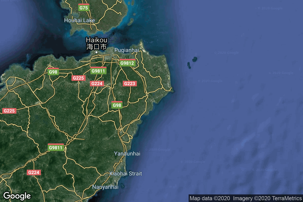
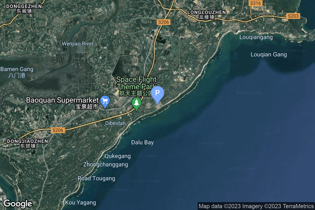
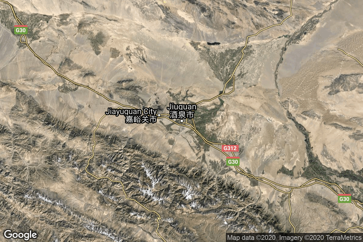
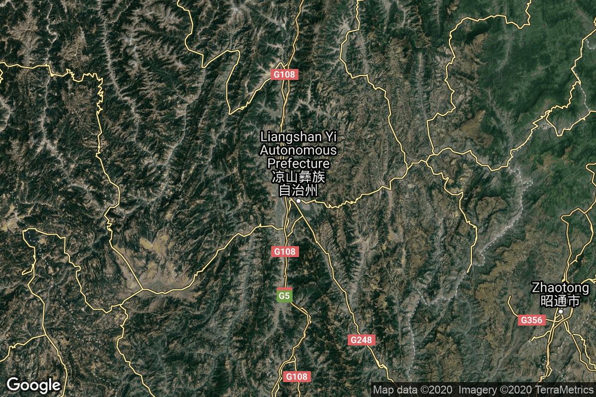
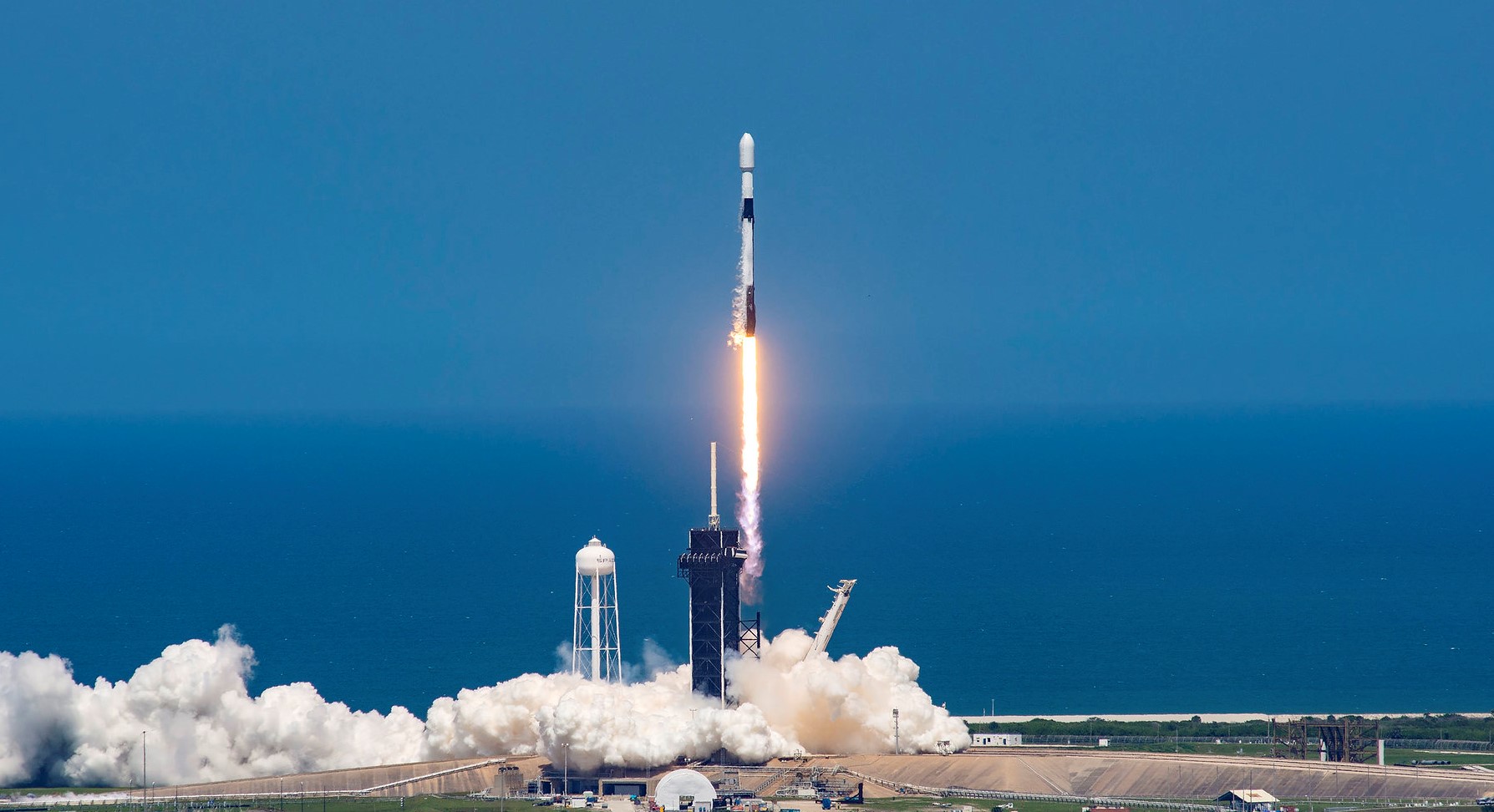
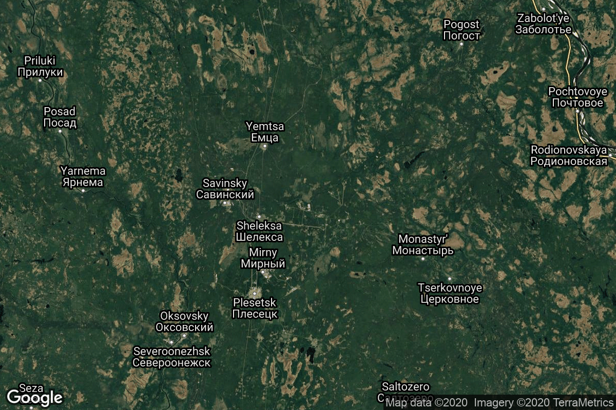
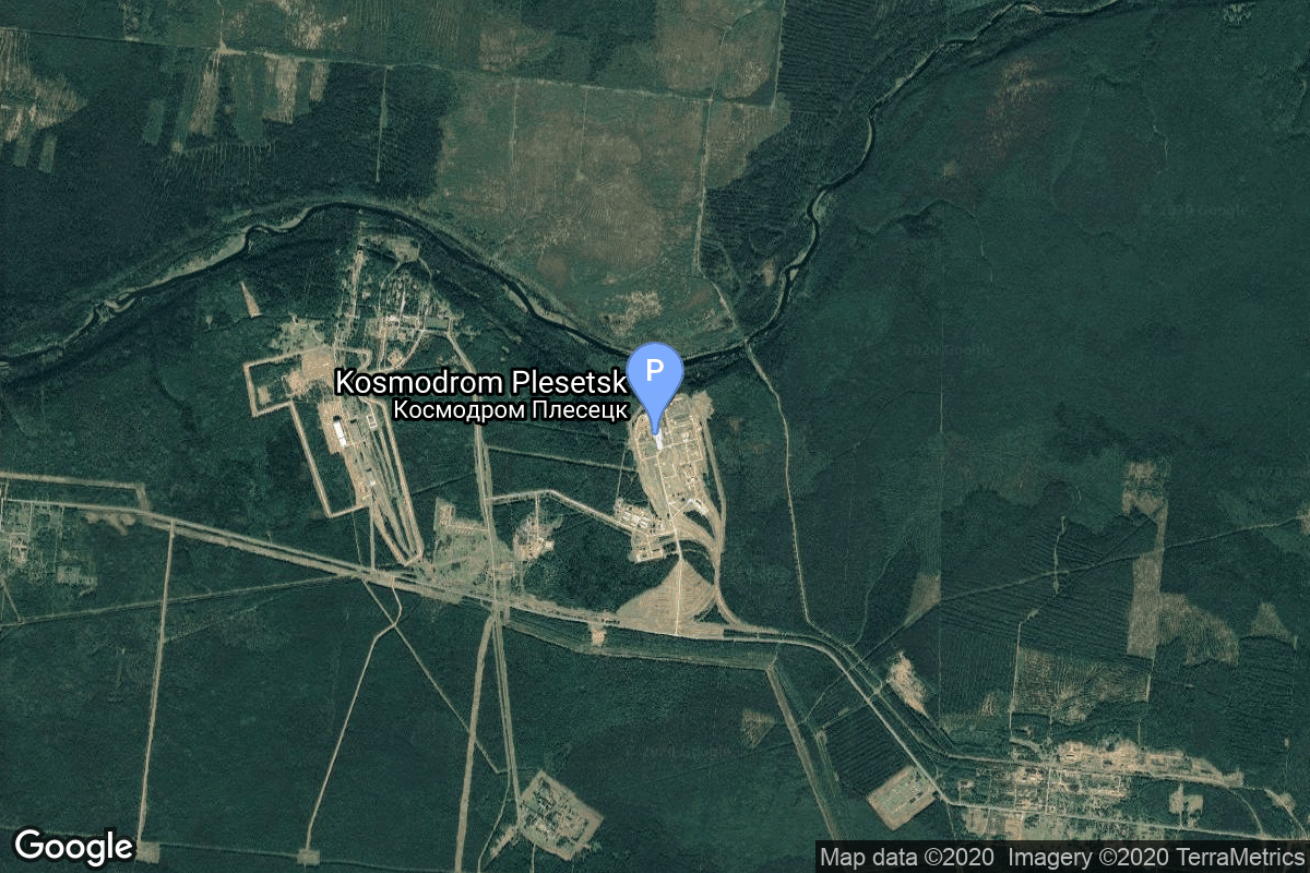
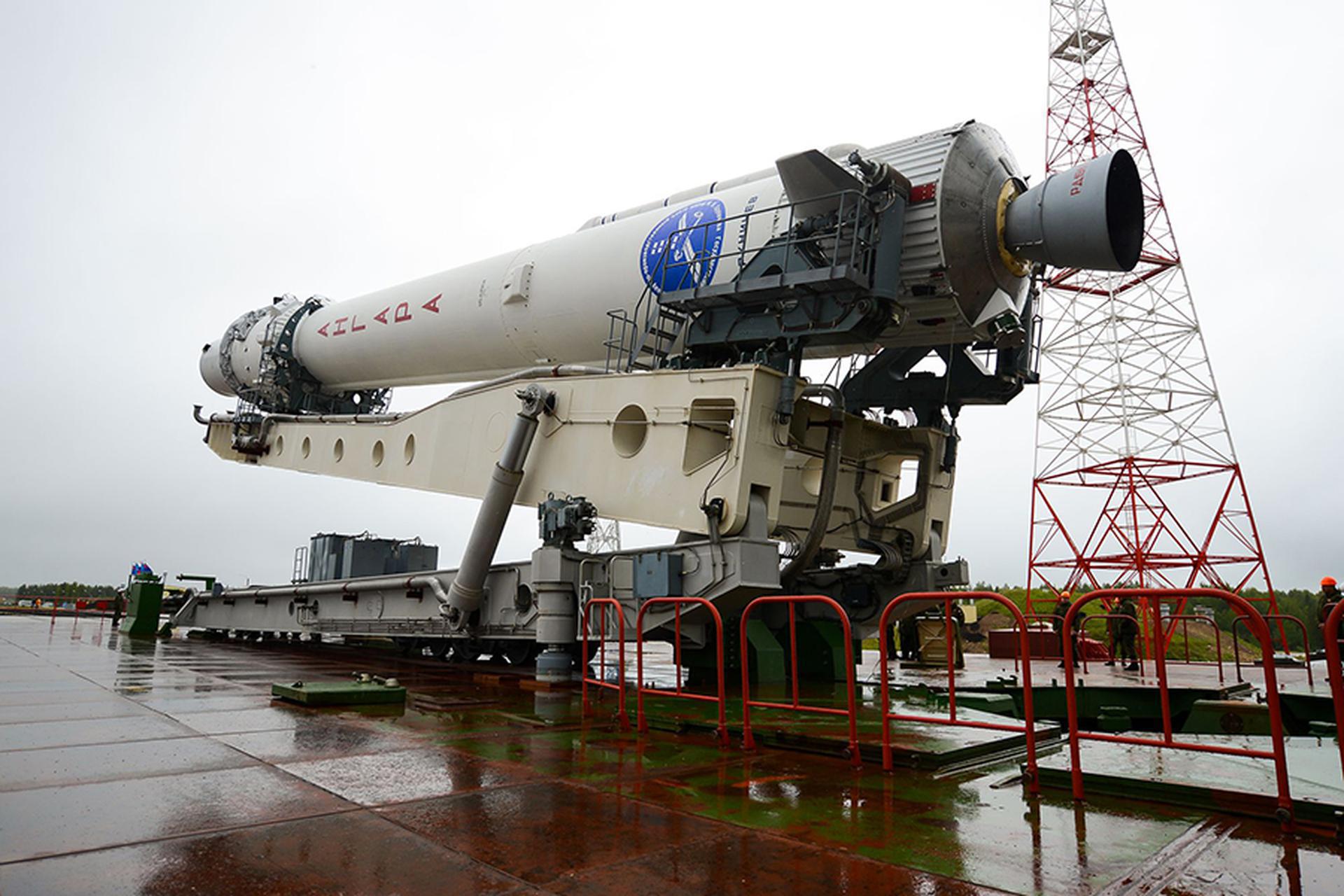
{ "count": 518, "next": "https://lldev.thespacedevs.com/2.0.0/launch/?format=api&limit=10&offset=180&ordering=id", "previous": "https://lldev.thespacedevs.com/2.0.0/launch/?format=api&limit=10&offset=160&ordering=id", "results": [ { "id": "537bd9b3-5f1d-4dda-aeb5-78e5b17cf2ba", "url": "https://lldev.thespacedevs.com/2.0.0/launch/537bd9b3-5f1d-4dda-aeb5-78e5b17cf2ba/?format=api", "launch_library_id": null, "slug": "long-march-12-satnet-leo-group-13", "name": "Long March 12 | SatNet LEO Group 13", "status": { "id": 3, "name": "Success" }, "net": "2025-11-10T02:41:00Z", "window_end": "2025-11-10T03:03:00Z", "window_start": "2025-11-10T02:35:00Z", "inhold": false, "tbdtime": false, "tbddate": false, "probability": null, "holdreason": "", "failreason": "", "hashtag": null, "launch_service_provider": { "id": 88, "url": "https://lldev.thespacedevs.com/2.0.0/agencies/88/?format=api", "name": "China Aerospace Science and Technology Corporation", "type": "Government" }, "rocket": { "id": 8789, "configuration": { "id": 517, "launch_library_id": null, "url": "https://lldev.thespacedevs.com/2.0.0/config/launcher/517/?format=api", "name": "Long March 12", "family": "Long March", "full_name": "Long March 12", "variant": "" } }, "mission": { "id": 7380, "launch_library_id": null, "name": "SatNet LEO Group 13", "description": "A batch of 9 Low Earth Orbit communication satellites for the Chinese state owned SatNet constellation operated by the China Satellite Network Group.\r\n\r\nThe constellation will eventually consists of 13000 satellites.", "launch_designator": null, "type": "Communications", "orbit": { "id": 8, "name": "Low Earth Orbit", "abbrev": "LEO" } }, "pad": { "id": 219, "url": "https://lldev.thespacedevs.com/2.0.0/pad/219/?format=api", "agency_id": null, "name": "Commercial LC-2", "info_url": null, "wiki_url": "https://en.wikipedia.org/wiki/Wenchang_Commercial_Space_Launch_Site", "map_url": "https://www.google.com/maps?q=19.59755,110.936481", "latitude": "19.59755", "longitude": "110.936481", "location": { "id": 8, "url": "https://lldev.thespacedevs.com/2.0.0/location/8/?format=api", "name": "Wenchang Space Launch Site, People's Republic of China", "country_code": "CHN", "map_image": "https://thespacedevs-dev.nyc3.digitaloceanspaces.com/media/map_images/location_8_20200803142445.jpg", "total_launch_count": 74, "total_landing_count": 0 }, "map_image": "https://thespacedevs-dev.nyc3.digitaloceanspaces.com/media/map_images/pad_commercial_lc-2_20231225074048.jpg", "total_launch_count": 9 }, "webcast_live": false, "image": "https://thespacedevs-dev.nyc3.digitaloceanspaces.com/media/images/cz-12_on_its_la_image_20241128132937.jpg", "infographic": null, "program": [] }, { "id": "53aad862-af92-44b5-91ef-70e92a079ba4", "url": "https://lldev.thespacedevs.com/2.0.0/launch/53aad862-af92-44b5-91ef-70e92a079ba4/?format=api", "launch_library_id": null, "slug": "long-march-4b-tianhui-7", "name": "Long March 4B | Tianhui 7", "status": { "id": 3, "name": "Success" }, "net": "2025-12-30T04:12:00Z", "window_end": "2025-12-30T04:32:00Z", "window_start": "2025-12-30T04:04:00Z", "inhold": false, "tbdtime": false, "tbddate": false, "probability": null, "holdreason": "", "failreason": "", "hashtag": null, "launch_service_provider": { "id": 88, "url": "https://lldev.thespacedevs.com/2.0.0/agencies/88/?format=api", "name": "China Aerospace Science and Technology Corporation", "type": "Government" }, "rocket": { "id": 8868, "configuration": { "id": 10, "launch_library_id": 16, "url": "https://lldev.thespacedevs.com/2.0.0/config/launcher/10/?format=api", "name": "Long March 4B", "family": "Long March", "full_name": "Long March 4B", "variant": "B" } }, "mission": { "id": 7459, "launch_library_id": null, "name": "Tianhui 7", "description": "A satellite officially described as for cartography purposes, details TBD.", "launch_designator": null, "type": "Earth Science", "orbit": { "id": 17, "name": "Sun-Synchronous Orbit", "abbrev": "SSO" } }, "pad": { "id": 22, "url": "https://lldev.thespacedevs.com/2.0.0/pad/22/?format=api", "agency_id": null, "name": "Launch Area 94 (SLS-2 / 603)", "info_url": null, "wiki_url": "https://en.wikipedia.org/wiki/Jiuquan_Launch_Area_4", "map_url": "https://www.google.com/maps?q=40.960482,100.298059", "latitude": "40.960482", "longitude": "100.298059", "location": { "id": 17, "url": "https://lldev.thespacedevs.com/2.0.0/location/17/?format=api", "name": "Jiuquan Satellite Launch Center, People's Republic of China", "country_code": "CHN", "map_image": "https://thespacedevs-dev.nyc3.digitaloceanspaces.com/media/map_images/location_17_20200803142429.jpg", "total_launch_count": 298, "total_landing_count": 3 }, "map_image": "https://thespacedevs-dev.nyc3.digitaloceanspaces.com/media/map_images/pad_22_20200803143437.jpg", "total_launch_count": 138 }, "webcast_live": false, "image": "https://thespacedevs-dev.nyc3.digitaloceanspaces.com/media/images/long_march_4b_l_image_20251209044050.jpeg", "infographic": null, "program": [] }, { "id": "5421e43a-1623-40ac-9dac-201075064e24", "url": "https://lldev.thespacedevs.com/2.0.0/launch/5421e43a-1623-40ac-9dac-201075064e24/?format=api", "launch_library_id": null, "slug": "long-march-3be-tianlian-2-06", "name": "Long March 3B/E | Tianlian 2-06", "status": { "id": 3, "name": "Success" }, "net": "2026-07-23T12:00:00Z", "window_end": "2026-07-23T12:54:00Z", "window_start": "2026-07-23T11:52:00Z", "inhold": false, "tbdtime": false, "tbddate": false, "probability": null, "holdreason": "", "failreason": "", "hashtag": null, "launch_service_provider": { "id": 88, "url": "https://lldev.thespacedevs.com/2.0.0/agencies/88/?format=api", "name": "China Aerospace Science and Technology Corporation", "type": "Government" }, "rocket": { "id": 9083, "configuration": { "id": 50, "launch_library_id": 69, "url": "https://lldev.thespacedevs.com/2.0.0/config/launcher/50/?format=api", "name": "Long March 3B/E", "family": "Long March", "full_name": "Long March 3B/E", "variant": "B/E" } }, "mission": { "id": 7678, "launch_library_id": null, "name": "Tianlian 2-06", "description": "Tianlian is a Chinese data tracking and relay communications geostationary satellite series. The TL 2 (Tian Lian 2) satellites represent the second generation of this relay satellite network, and is based on the DFH-4 Bus, a three-axis-stabilized telecommunications satellite platform.\r\n\r\nTL 2 will be used to support real-time communications between orbiting satellites and ground control stations. This system will replace the current network of ground-based space tracking and telemetry stations and space tracking ships.", "launch_designator": null, "type": "Communications", "orbit": { "id": 2, "name": "Geostationary Transfer Orbit", "abbrev": "GTO" } }, "pad": { "id": 45, "url": "https://lldev.thespacedevs.com/2.0.0/pad/45/?format=api", "agency_id": null, "name": "Launch Complex 2 (LC-2)", "info_url": null, "wiki_url": "https://en.wikipedia.org/wiki/Xichang_Satellite_Launch_Center", "map_url": "https://www.google.com/maps?q=28.245504,102.026768", "latitude": "28.245504", "longitude": "102.026768", "location": { "id": 16, "url": "https://lldev.thespacedevs.com/2.0.0/location/16/?format=api", "name": "Xichang Satellite Launch Center, People's Republic of China", "country_code": "CHN", "map_image": "https://thespacedevs-dev.nyc3.digitaloceanspaces.com/media/map_images/location_16_20200803142513.jpg", "total_launch_count": 242, "total_landing_count": 0 }, "map_image": "https://thespacedevs-dev.nyc3.digitaloceanspaces.com/media/map_images/pad_45_20200803143520.jpg", "total_launch_count": 126 }, "webcast_live": false, "image": "https://thespacedevs-dev.nyc3.digitaloceanspaces.com/media/images/long2520march_image_20230907120240.jpeg", "infographic": null, "program": [] }, { "id": "542a51bb-2351-48b9-98c5-9db130fb4c29", "url": "https://lldev.thespacedevs.com/2.0.0/launch/542a51bb-2351-48b9-98c5-9db130fb4c29/?format=api", "launch_library_id": null, "slug": "falcon-9-block-5-sda-tranche-2-transport-layer-c", "name": "Falcon 9 Block 5 | SDA Tranche 2 Transport Layer C", "status": { "id": 2, "name": "TBD" }, "net": "2027-01-31T00:00:00Z", "window_end": "2027-01-31T00:00:00Z", "window_start": "2027-01-31T00:00:00Z", "inhold": false, "tbdtime": true, "tbddate": true, "probability": null, "holdreason": "", "failreason": "", "hashtag": null, "launch_service_provider": { "id": 121, "url": "https://lldev.thespacedevs.com/2.0.0/agencies/121/?format=api", "name": "SpaceX", "type": "Commercial" }, "rocket": { "id": 8079, "configuration": { "id": 164, "launch_library_id": 188, "url": "https://lldev.thespacedevs.com/2.0.0/config/launcher/164/?format=api", "name": "Falcon 9", "family": "Falcon", "full_name": "Falcon 9 Block 5", "variant": "Block 5" } }, "mission": { "id": 6632, "launch_library_id": null, "name": "SDA Tranche 2 Transport Layer C", "description": "Classified mission launched by the Space Development Agency (SDA) for Tranche 2 Transport Layer.", "launch_designator": null, "type": "Government/Top Secret", "orbit": { "id": 13, "name": "Polar Orbit", "abbrev": "PO" } }, "pad": { "id": 72, "url": "https://lldev.thespacedevs.com/2.0.0/pad/72/?format=api", "agency_id": null, "name": "Unknown Pad", "info_url": null, "wiki_url": "", "map_url": "https://www.google.com/maps?q=28.458,-80.528", "latitude": "28.458", "longitude": "-80.528", "location": { "id": 12, "url": "https://lldev.thespacedevs.com/2.0.0/location/12/?format=api", "name": "Cape Canaveral SFS, FL, USA", "country_code": "USA", "map_image": "https://thespacedevs-dev.nyc3.digitaloceanspaces.com/media/map_images/location_12_20200803142519.jpg", "total_launch_count": 1129, "total_landing_count": 79 }, "map_image": "https://thespacedevs-dev.nyc3.digitaloceanspaces.com/media/map_images/pad_72_20200803143403.jpg", "total_launch_count": 0 }, "webcast_live": false, "image": "https://thespacedevs-dev.nyc3.digitaloceanspaces.com/media/images/falcon_9_image_20230807133459.jpeg", "infographic": null, "program": [] }, { "id": "547f1a96-0539-4fd3-b13c-2a781f02cfd5", "url": "https://lldev.thespacedevs.com/2.0.0/launch/547f1a96-0539-4fd3-b13c-2a781f02cfd5/?format=api", "launch_library_id": null, "slug": "angara-12-3-x-rodnik-kosmos-2597-2598-2599", "name": "Angara 1.2 | 3 x Rodnik (Kosmos 2597, 2598, 2599)", "status": { "id": 3, "name": "Success" }, "net": "2025-11-25T13:42:00Z", "window_end": "2025-11-25T14:35:00Z", "window_start": "2025-11-25T13:00:00Z", "inhold": false, "tbdtime": false, "tbddate": false, "probability": null, "holdreason": "", "failreason": "", "hashtag": null, "launch_service_provider": { "id": 193, "url": "https://lldev.thespacedevs.com/2.0.0/agencies/193/?format=api", "name": "Russian Space Forces", "type": "Government" }, "rocket": { "id": 8801, "configuration": { "id": 136, "launch_library_id": 145, "url": "https://lldev.thespacedevs.com/2.0.0/config/launcher/136/?format=api", "name": "Angara 1.2", "family": "Angara", "full_name": "Angara 1.2", "variant": "1.2" } }, "mission": { "id": 7392, "launch_library_id": null, "name": "3 x Rodnik (Kosmos 2597, 2598, 2599)", "description": "Note: Payload identity and Cosmos series numbering not confirmed.\r\n\r\nThe Strela (Russian: Стрела) are Soviet, then Russian, military space telecommunication satellites, in use since 1964.\r\n\r\nThese satellites operate as mailboxes (\"store-and-forward\"): they remember the received messages and then resend them after the scheduled time, or by a command from the Earth. They can serve for up to five years. The satellites are used for transmission of encrypted messages and images.\r\n\r\nThe operational constellation consists of 12 satellites in two orbital planes, spaced 90° apart. The spacecraft had a cylindrical body with a gravity-gradient boom, which was extended on-orbit to provide passive attitude stabilization. On-board storage was 12 Mbits of data, with a transmission rate of 2.4 kbit/s.\r\n\r\nThe first three satellites were launched in 1964 by a Cosmos launcher. After one year of service, new and improved satellites were launched, called Strela-2. In 1970, these satellites were modernized, and became the Strela-1M and Strela-2M satellites. From 1985, these satellites will be gradually replaced by Strela-3, and then by Strela-3M from 2005. A civilian version of these satellites was created, called Goniets.\r\n\r\nInitially they were launched in groups of six on Tsyklon; when the launcher was retired, they were only launched by two on Cosmos, before Rokot was put into service and allowed the sending of triplets of Strela satellites.", "launch_designator": null, "type": "Government/Top Secret", "orbit": { "id": 8, "name": "Low Earth Orbit", "abbrev": "LEO" } }, "pad": { "id": 42, "url": "https://lldev.thespacedevs.com/2.0.0/pad/42/?format=api", "agency_id": 163, "name": "35/1", "info_url": null, "wiki_url": "https://en.wikipedia.org/wiki/Plesetsk_Cosmodrome_Site_35", "map_url": "https://www.google.com/maps?q=62.927319,40.574897", "latitude": "62.927319", "longitude": "40.574897", "location": { "id": 6, "url": "https://lldev.thespacedevs.com/2.0.0/location/6/?format=api", "name": "Plesetsk Cosmodrome, Russian Federation", "country_code": "RUS", "map_image": "https://thespacedevs-dev.nyc3.digitaloceanspaces.com/media/map_images/location_6_20200803142434.jpg", "total_launch_count": 1688, "total_landing_count": 0 }, "map_image": "https://thespacedevs-dev.nyc3.digitaloceanspaces.com/media/map_images/pad_42_20200803143543.jpg", "total_launch_count": 12 }, "webcast_live": false, "image": "https://thespacedevs-dev.nyc3.digitaloceanspaces.com/media/images/angara25201.2_image_20190224012254.jpeg", "infographic": null, "program": [] }, { "id": "548df42c-ae26-4cc9-921a-f0042941911a", "url": "https://lldev.thespacedevs.com/2.0.0/launch/548df42c-ae26-4cc9-921a-f0042941911a/?format=api", "launch_library_id": null, "slug": "electron-blacksky-gen-3-6", "name": "Electron | BlackSky Gen-3 6", "status": { "id": 2, "name": "TBD" }, "net": "2026-12-31T00:00:00Z", "window_end": "2026-12-31T00:00:00Z", "window_start": "2026-12-31T00:00:00Z", "inhold": false, "tbdtime": true, "tbddate": true, "probability": null, "holdreason": "", "failreason": "", "hashtag": null, "launch_service_provider": { "id": 147, "url": "https://lldev.thespacedevs.com/2.0.0/agencies/147/?format=api", "name": "Rocket Lab", "type": "Commercial" }, "rocket": { "id": 8923, "configuration": { "id": 26, "launch_library_id": 148, "url": "https://lldev.thespacedevs.com/2.0.0/config/launcher/26/?format=api", "name": "Electron", "family": "", "full_name": "Electron", "variant": "" } }, "mission": { "id": 7515, "launch_library_id": null, "name": "BlackSky Gen-3 6", "description": "BlackSky Gen-3 Earth-imaging satellites", "launch_designator": null, "type": "Earth Science", "orbit": { "id": 8, "name": "Low Earth Orbit", "abbrev": "LEO" } }, "pad": { "id": 210, "url": "https://lldev.thespacedevs.com/2.0.0/pad/210/?format=api", "agency_id": null, "name": "Unknown Pad", "info_url": null, "wiki_url": null, "map_url": null, "latitude": "-39.260881", "longitude": "177.865826", "location": { "id": 10, "url": "https://lldev.thespacedevs.com/2.0.0/location/10/?format=api", "name": "Rocket Lab Launch Complex 1, Mahia Peninsula, New Zealand", "country_code": "NZL", "map_image": "https://thespacedevs-dev.nyc3.digitaloceanspaces.com/media/map_images/location_10_20200803142509.jpg", "total_launch_count": 84, "total_landing_count": 17 }, "map_image": "https://thespacedevs-dev.nyc3.digitaloceanspaces.com/media/map_images/pad_210_20230819165718.jpg", "total_launch_count": 0 }, "webcast_live": false, "image": "https://thespacedevs-dev.nyc3.digitaloceanspaces.com/media/images/electron_image_20190705175640.jpeg", "infographic": null, "program": [] }, { "id": "54e907ad-f988-488b-ab35-cd86f63edf8d", "url": "https://lldev.thespacedevs.com/2.0.0/launch/54e907ad-f988-488b-ab35-cd86f63edf8d/?format=api", "launch_library_id": null, "slug": "electron-blacksky-gen-3-9", "name": "Electron | BlackSky Gen-3 9", "status": { "id": 2, "name": "TBD" }, "net": "2026-12-31T00:00:00Z", "window_end": "2026-12-31T00:00:00Z", "window_start": "2026-12-31T00:00:00Z", "inhold": false, "tbdtime": true, "tbddate": true, "probability": null, "holdreason": "", "failreason": "", "hashtag": null, "launch_service_provider": { "id": 147, "url": "https://lldev.thespacedevs.com/2.0.0/agencies/147/?format=api", "name": "Rocket Lab", "type": "Commercial" }, "rocket": { "id": 8926, "configuration": { "id": 26, "launch_library_id": 148, "url": "https://lldev.thespacedevs.com/2.0.0/config/launcher/26/?format=api", "name": "Electron", "family": "", "full_name": "Electron", "variant": "" } }, "mission": { "id": 7518, "launch_library_id": null, "name": "BlackSky Gen-3 9", "description": "BlackSky Gen-3 Earth-imaging satellites", "launch_designator": null, "type": "Earth Science", "orbit": { "id": 8, "name": "Low Earth Orbit", "abbrev": "LEO" } }, "pad": { "id": 210, "url": "https://lldev.thespacedevs.com/2.0.0/pad/210/?format=api", "agency_id": null, "name": "Unknown Pad", "info_url": null, "wiki_url": null, "map_url": null, "latitude": "-39.260881", "longitude": "177.865826", "location": { "id": 10, "url": "https://lldev.thespacedevs.com/2.0.0/location/10/?format=api", "name": "Rocket Lab Launch Complex 1, Mahia Peninsula, New Zealand", "country_code": "NZL", "map_image": "https://thespacedevs-dev.nyc3.digitaloceanspaces.com/media/map_images/location_10_20200803142509.jpg", "total_launch_count": 84, "total_landing_count": 17 }, "map_image": "https://thespacedevs-dev.nyc3.digitaloceanspaces.com/media/map_images/pad_210_20230819165718.jpg", "total_launch_count": 0 }, "webcast_live": false, "image": "https://thespacedevs-dev.nyc3.digitaloceanspaces.com/media/images/electron_image_20190705175640.jpeg", "infographic": null, "program": [] }, { "id": "550f778d-6c2d-41fc-b182-6f0cd8feda93", "url": "https://lldev.thespacedevs.com/2.0.0/launch/550f778d-6c2d-41fc-b182-6f0cd8feda93/?format=api", "launch_library_id": null, "slug": "vulcan-vc4s-ussf-87", "name": "Vulcan VC4S | USSF-87", "status": { "id": 3, "name": "Success" }, "net": "2026-02-12T09:22:00Z", "window_end": "2026-02-12T10:30:00Z", "window_start": "2026-02-12T08:30:00Z", "inhold": false, "tbdtime": false, "tbddate": false, "probability": 95, "holdreason": "", "failreason": "", "hashtag": null, "launch_service_provider": { "id": 124, "url": "https://lldev.thespacedevs.com/2.0.0/agencies/124/?format=api", "name": "United Launch Alliance", "type": "Commercial" }, "rocket": { "id": 7859, "configuration": { "id": 516, "launch_library_id": null, "url": "https://lldev.thespacedevs.com/2.0.0/config/launcher/516/?format=api", "name": "Vulcan VC4S", "family": "Vulcan", "full_name": "Vulcan VC4S", "variant": "VC4S" } }, "mission": { "id": 6367, "launch_library_id": null, "name": "USSF-87", "description": "USSF-87 will launch two identical Geosynchronous Space Situational Awareness Program (GSSAP) satellites GSSAP-7 and GSSAP-8 directly to a near-geosynchronous orbit approximately 36,000 km above the equator.\r\n\r\nData from the GSSAP will uniquely contribute to timely and accurate orbital predictions, further enabling space flight safety including satellite collision avoidance.", "launch_designator": null, "type": "Government/Top Secret", "orbit": { "id": 1, "name": "Geostationary Orbit", "abbrev": "Direct-GEO" } }, "pad": { "id": 29, "url": "https://lldev.thespacedevs.com/2.0.0/pad/29/?format=api", "agency_id": null, "name": "Space Launch Complex 41", "info_url": null, "wiki_url": "https://en.wikipedia.org/wiki/Cape_Canaveral_Air_Force_Station_Space_Launch_Complex_41", "map_url": "https://www.google.com/maps?q=28.58341025,-80.58303644", "latitude": "28.58341025", "longitude": "-80.58303644", "location": { "id": 12, "url": "https://lldev.thespacedevs.com/2.0.0/location/12/?format=api", "name": "Cape Canaveral SFS, FL, USA", "country_code": "USA", "map_image": "https://thespacedevs-dev.nyc3.digitaloceanspaces.com/media/map_images/location_12_20200803142519.jpg", "total_launch_count": 1129, "total_landing_count": 79 }, "map_image": "https://thespacedevs-dev.nyc3.digitaloceanspaces.com/media/map_images/pad_29_20200803143528.jpg", "total_launch_count": 125 }, "webcast_live": false, "image": "https://thespacedevs-dev.nyc3.digitaloceanspaces.com/media/images/vulcan_on_slc-4_image_20260212075307.jpg", "infographic": null, "program": [] }, { "id": "5575fc3c-11e9-48e4-ab89-ac7a3e2ef32a", "url": "https://lldev.thespacedevs.com/2.0.0/launch/5575fc3c-11e9-48e4-ab89-ac7a3e2ef32a/?format=api", "launch_library_id": null, "slug": "long-march-2c-alsat-3b", "name": "Long March 2C | AlSat 3B", "status": { "id": 3, "name": "Success" }, "net": "2026-01-31T04:01:00Z", "window_end": "2026-01-31T04:25:00Z", "window_start": "2026-01-31T03:54:00Z", "inhold": false, "tbdtime": false, "tbddate": false, "probability": null, "holdreason": "", "failreason": "", "hashtag": null, "launch_service_provider": { "id": 88, "url": "https://lldev.thespacedevs.com/2.0.0/agencies/88/?format=api", "name": "China Aerospace Science and Technology Corporation", "type": "Government" }, "rocket": { "id": 8910, "configuration": { "id": 61, "launch_library_id": 75, "url": "https://lldev.thespacedevs.com/2.0.0/config/launcher/61/?format=api", "name": "Long March 2C", "family": "Long March", "full_name": "Long March 2C", "variant": "C" } }, "mission": { "id": 7501, "launch_library_id": null, "name": "AlSat 3B", "description": "Earth observation satellite built by China's CAST for the Algerian Space Agency.", "launch_designator": null, "type": "Earth Science", "orbit": { "id": 17, "name": "Sun-Synchronous Orbit", "abbrev": "SSO" } }, "pad": { "id": 22, "url": "https://lldev.thespacedevs.com/2.0.0/pad/22/?format=api", "agency_id": null, "name": "Launch Area 94 (SLS-2 / 603)", "info_url": null, "wiki_url": "https://en.wikipedia.org/wiki/Jiuquan_Launch_Area_4", "map_url": "https://www.google.com/maps?q=40.960482,100.298059", "latitude": "40.960482", "longitude": "100.298059", "location": { "id": 17, "url": "https://lldev.thespacedevs.com/2.0.0/location/17/?format=api", "name": "Jiuquan Satellite Launch Center, People's Republic of China", "country_code": "CHN", "map_image": "https://thespacedevs-dev.nyc3.digitaloceanspaces.com/media/map_images/location_17_20200803142429.jpg", "total_launch_count": 298, "total_landing_count": 3 }, "map_image": "https://thespacedevs-dev.nyc3.digitaloceanspaces.com/media/map_images/pad_22_20200803143437.jpg", "total_launch_count": 138 }, "webcast_live": false, "image": "https://thespacedevs-dev.nyc3.digitaloceanspaces.com/media/images/long_march_2_image_20230803100234.jpeg", "infographic": null, "program": [] }, { "id": "55b79515-ddbf-4198-8a59-29a12ed21330", "url": "https://lldev.thespacedevs.com/2.0.0/launch/55b79515-ddbf-4198-8a59-29a12ed21330/?format=api", "launch_library_id": null, "slug": "falcon-9-block-5-ussf-366", "name": "Falcon 9 Block 5 | USSF-366", "status": { "id": 3, "name": "Success" }, "net": "2026-08-16T01:50:45Z", "window_end": "2026-08-16T01:52:00Z", "window_start": "2026-08-15T21:52:00Z", "inhold": false, "tbdtime": false, "tbddate": false, "probability": 90, "holdreason": "", "failreason": "", "hashtag": null, "launch_service_provider": { "id": 121, "url": "https://lldev.thespacedevs.com/2.0.0/agencies/121/?format=api", "name": "SpaceX", "type": "Commercial" }, "rocket": { "id": 9109, "configuration": { "id": 164, "launch_library_id": 188, "url": "https://lldev.thespacedevs.com/2.0.0/config/launcher/164/?format=api", "name": "Falcon 9", "family": "Falcon", "full_name": "Falcon 9 Block 5", "variant": "Block 5" } }, "mission": { "id": 7704, "launch_library_id": null, "name": "USSF-366", "description": "USSF-366 is a classified mission for the United States Space Force. It is possibly a batch of classified LEO satellites based on SpaceX’s Starshield satellite bus, based on locations of rocket stage drop zones being exact fits with previous Starlink Group 15 launches.", "launch_designator": null, "type": "Government/Top Secret", "orbit": { "id": 8, "name": "Low Earth Orbit", "abbrev": "LEO" } }, "pad": { "id": 16, "url": "https://lldev.thespacedevs.com/2.0.0/pad/16/?format=api", "agency_id": null, "name": "Space Launch Complex 4E", "info_url": null, "wiki_url": "https://en.wikipedia.org/wiki/Vandenberg_Space_Launch_Complex_4#SLC-4E", "map_url": "https://www.google.com/maps?q=34.632,-120.611", "latitude": "34.632", "longitude": "-120.611", "location": { "id": 11, "url": "https://lldev.thespacedevs.com/2.0.0/location/11/?format=api", "name": "Vandenberg SFB, CA, USA", "country_code": "USA", "map_image": "https://thespacedevs-dev.nyc3.digitaloceanspaces.com/media/map_images/location_11_20200803142416.jpg", "total_launch_count": 915, "total_landing_count": 35 }, "map_image": "https://thespacedevs-dev.nyc3.digitaloceanspaces.com/media/map_images/pad_16_20200803143532.jpg", "total_launch_count": 299 }, "webcast_live": false, "image": "https://thespacedevs-dev.nyc3.digitaloceanspaces.com/media/images/falcon_9_liftof_image_20260816171423.jpg", "infographic": null, "program": [] } ] }