Launch List
API endpoint that returns all Launch objects or a single launch.
EXAMPLE - /launch/
GET: Return a list of all Launch objects.
FILTERS: Fields - 'name', 'id(s)', 'lsp_id', 'lsp_name', 'serial_number', 'launcher_config__id', 'rocket__spacecraftflight__spacecraft__name'
MODE: 'normal', 'list', 'detailed' EXAMPLE: ?mode=list
SEARCH: Searches through the launch name, rocket name, launch agency, mission name & spacecraft name. EXAMPLE - ?search=SpaceX
GET /2.0.0/launch/?format=api&offset=160&ordering=-net
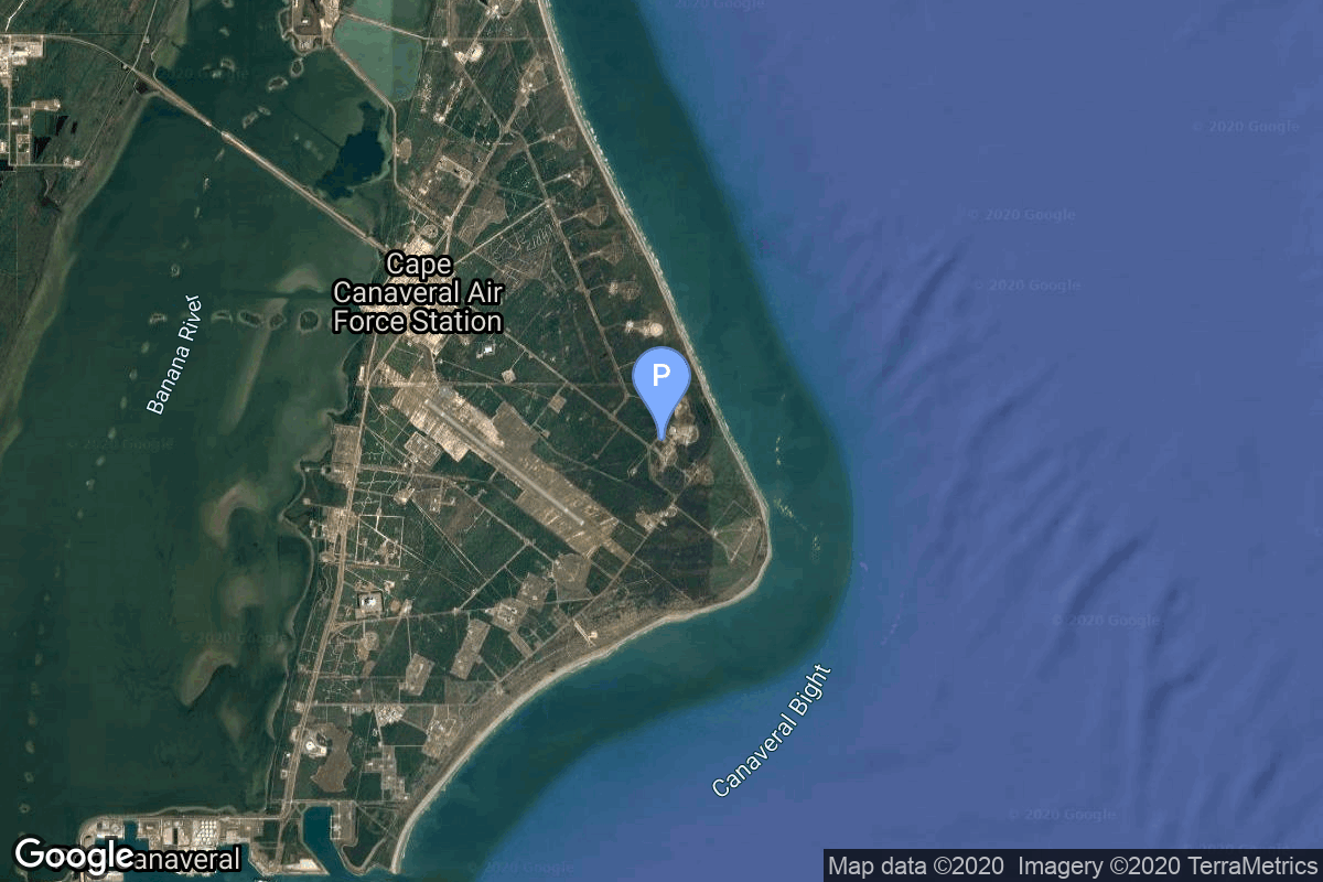
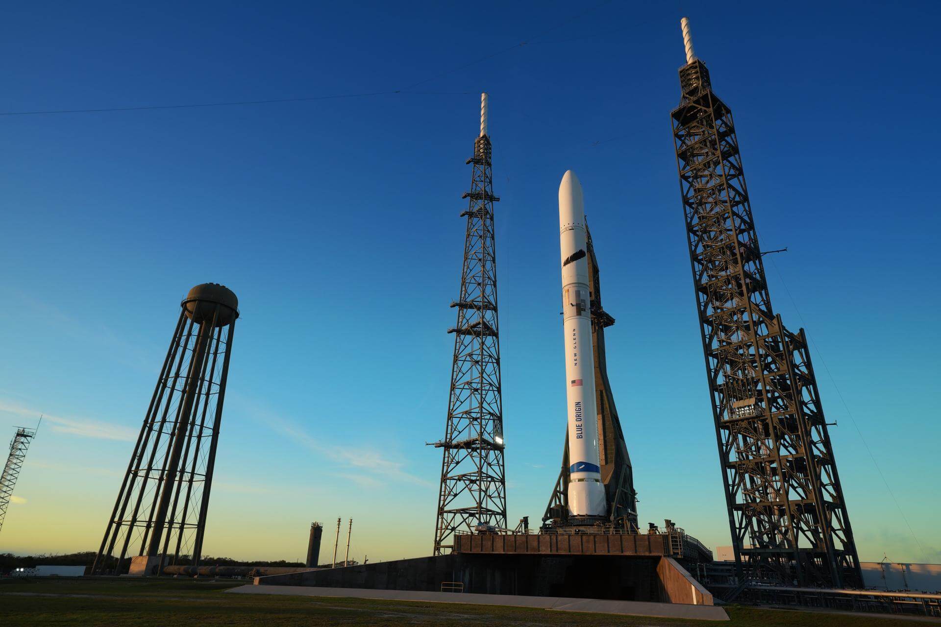
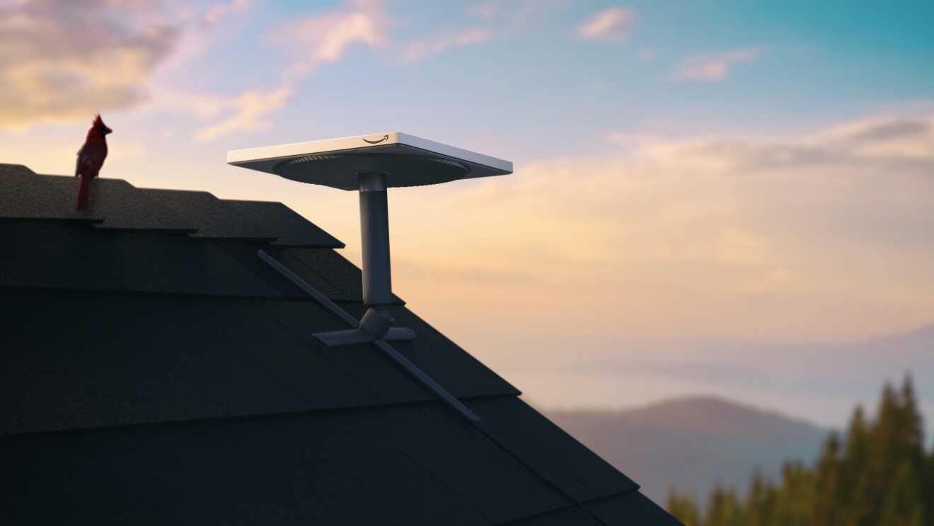
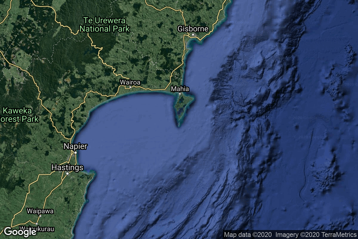
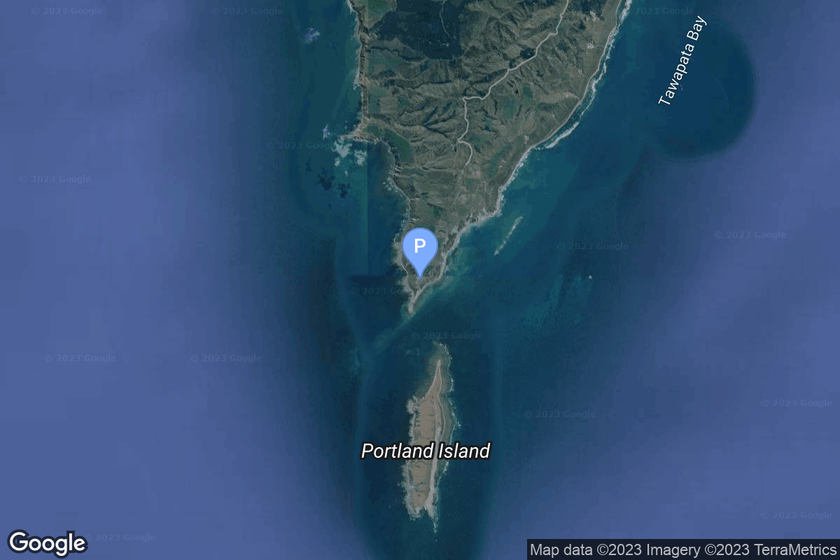
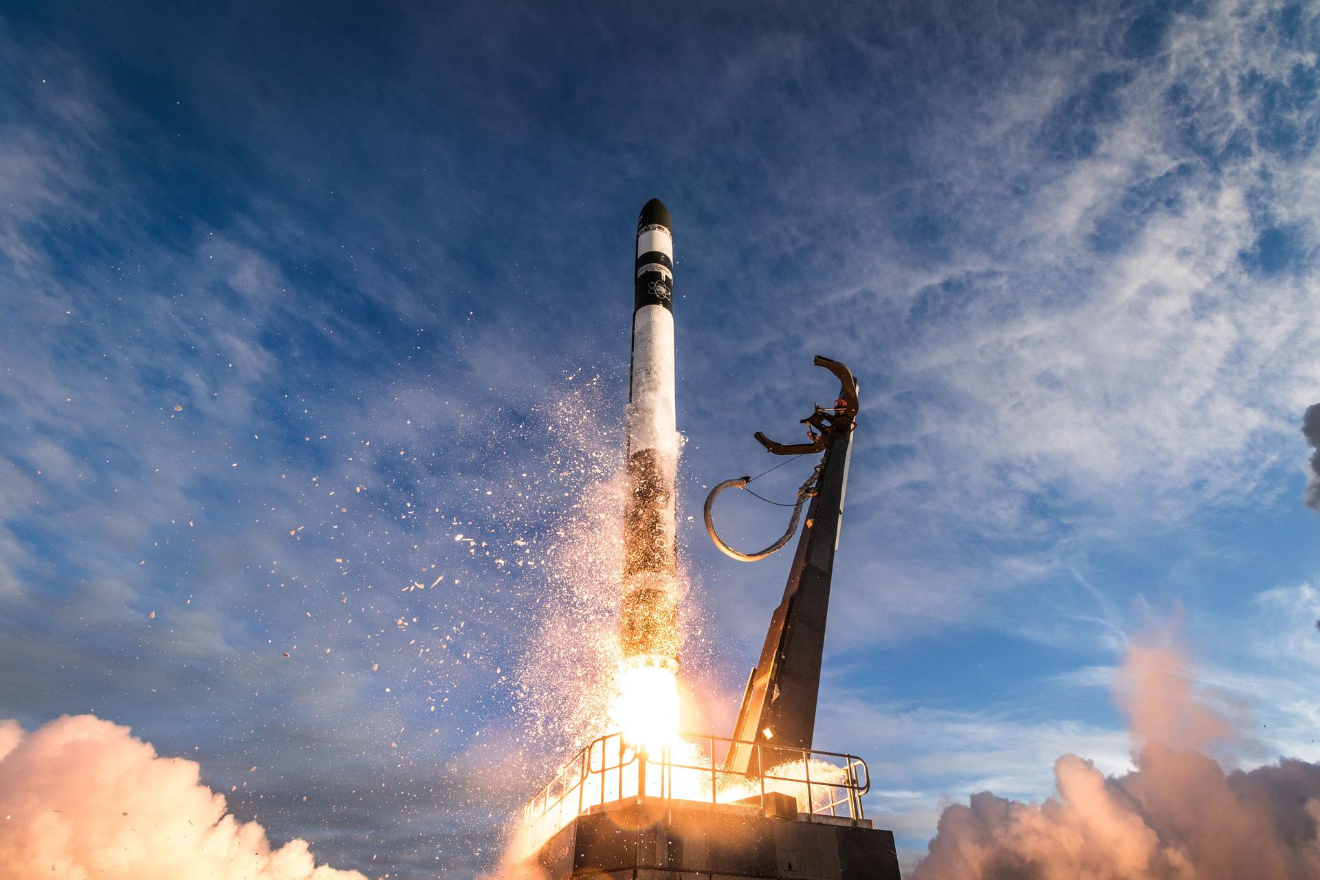
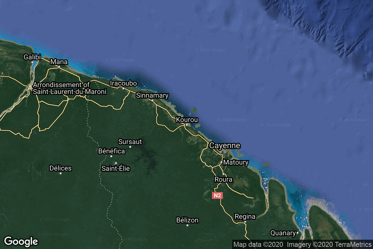
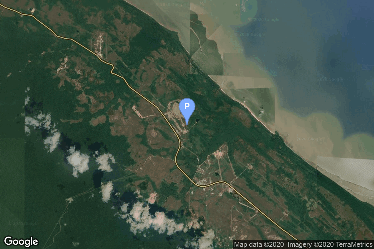
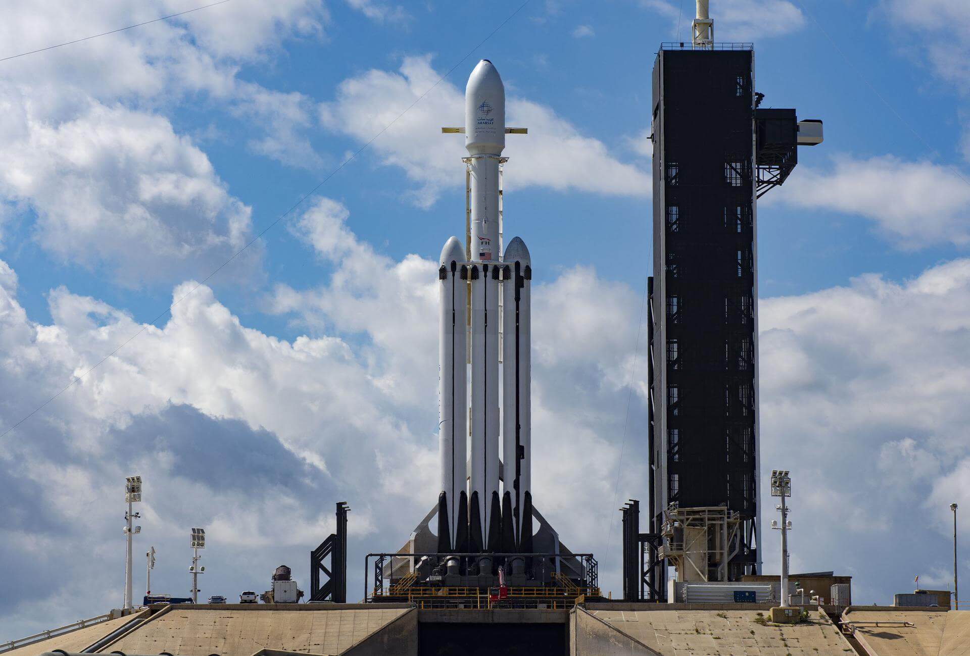
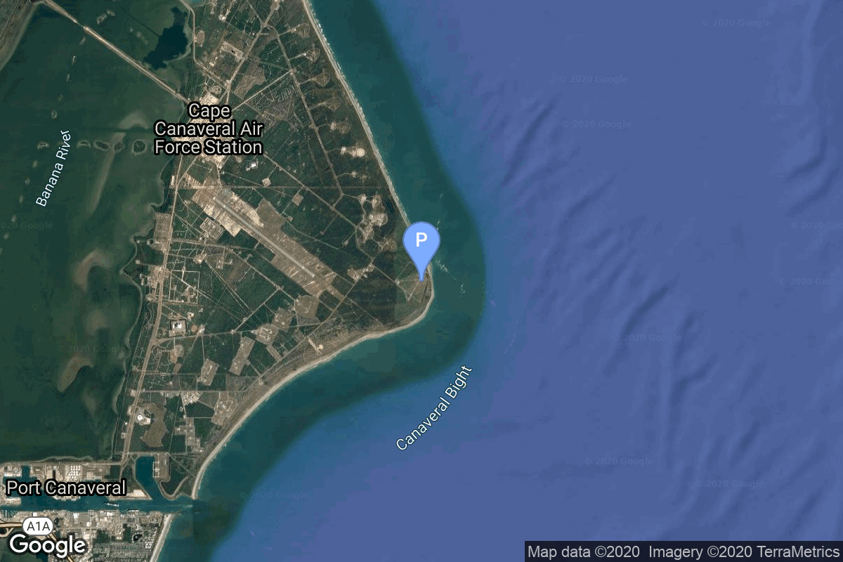
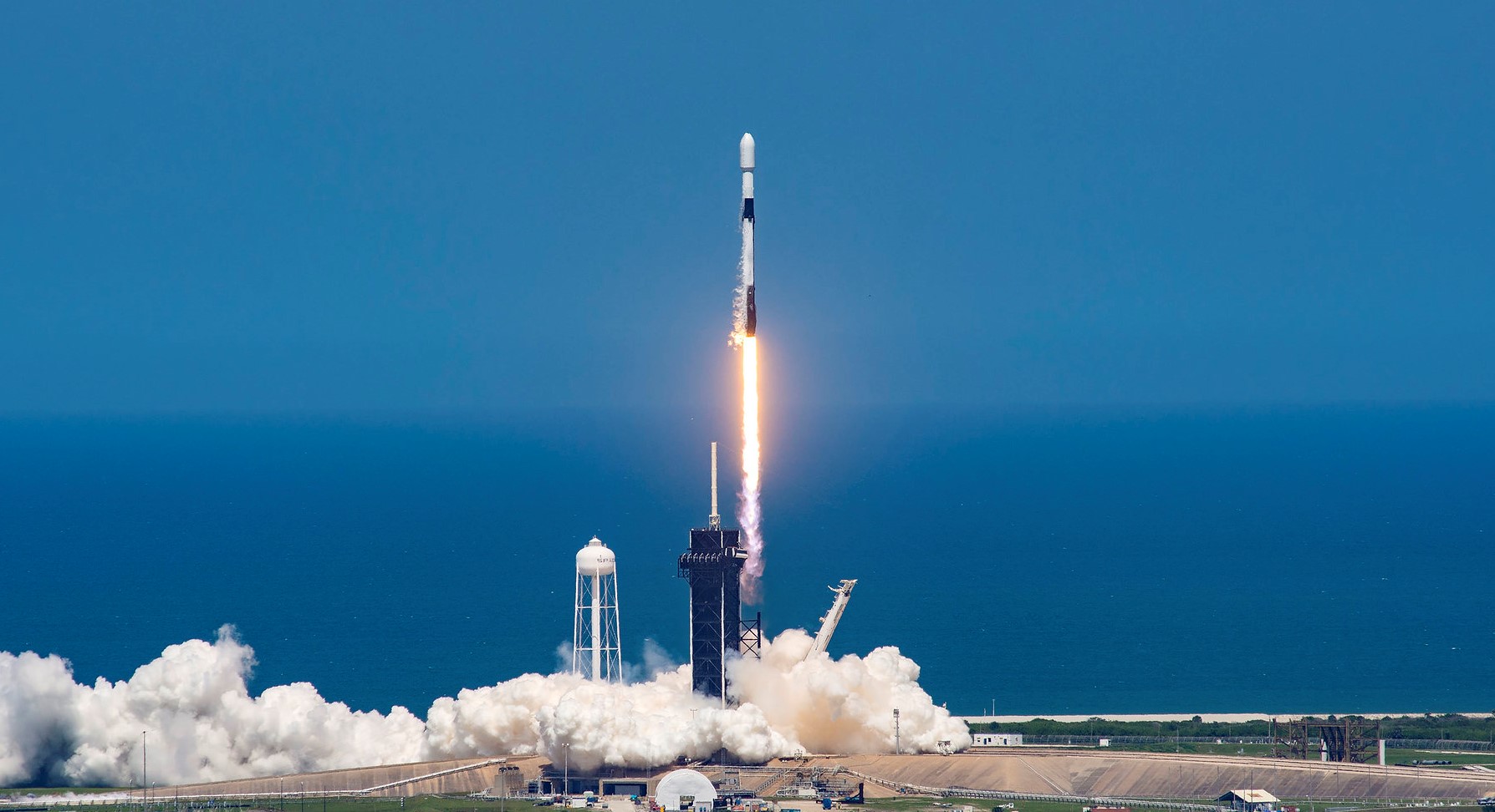
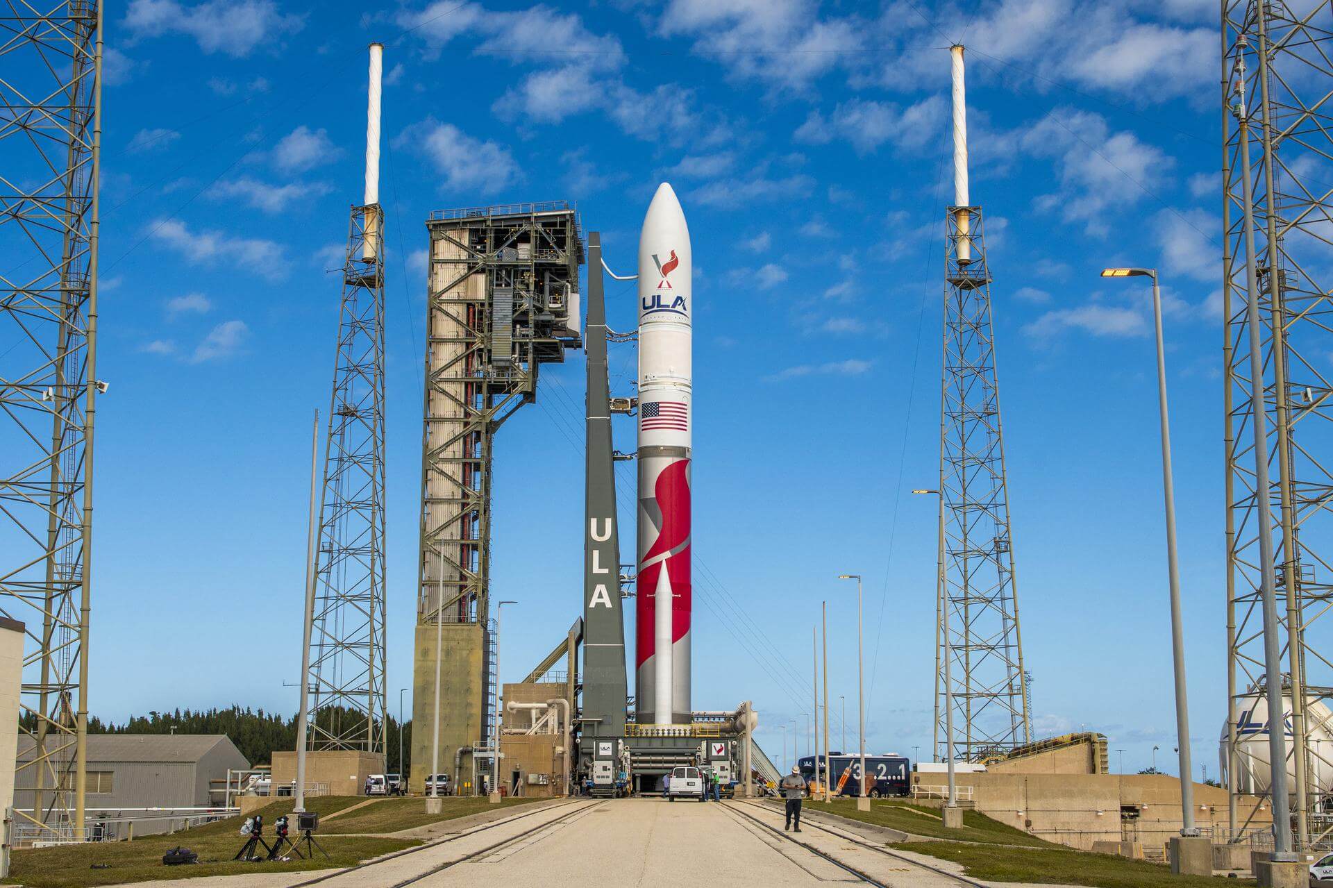
{ "count": 8136, "next": "https://lldev.thespacedevs.com/2.0.0/launch/?format=api&limit=10&offset=170&ordering=-net", "previous": "https://lldev.thespacedevs.com/2.0.0/launch/?format=api&limit=10&offset=150&ordering=-net", "results": [ { "id": "f74f8f29-a94a-4611-8165-d87a06c34da6", "url": "https://lldev.thespacedevs.com/2.0.0/launch/f74f8f29-a94a-4611-8165-d87a06c34da6/?format=api", "launch_library_id": null, "slug": "new-glenn-amazon-leo-ln-09", "name": "New Glenn | Amazon Leo (LN-09)", "status": { "id": 2, "name": "TBD" }, "net": "2029-12-31T00:00:00Z", "window_end": "2029-12-31T00:00:00Z", "window_start": "2029-12-31T00:00:00Z", "inhold": false, "tbdtime": true, "tbddate": true, "probability": null, "holdreason": "", "failreason": "", "hashtag": null, "launch_service_provider": { "id": 141, "url": "https://lldev.thespacedevs.com/2.0.0/agencies/141/?format=api", "name": "Blue Origin", "type": "Commercial" }, "rocket": { "id": 9225, "configuration": { "id": 138, "launch_library_id": 1001, "url": "https://lldev.thespacedevs.com/2.0.0/config/launcher/138/?format=api", "name": "New Glenn", "family": "New Glenn", "full_name": "New Glenn", "variant": "" } }, "mission": { "id": 7824, "launch_library_id": null, "name": "Amazon Leo (LN-09)", "description": "Amazon Leo, formerly known as Project Kuiper, is a mega constellation of satellites in Low Earth Orbit that will offer broadband internet access, this constellation will be managed by Kuiper Systems LLC, a subsidiary of Amazon. This constellation is planned to be composed of 3,276 satellites. The satellites are projected to be placed in 98 orbital planes in three orbital layers, one at 590 km, 610 km and 630 km altitude.\r\n\r\n48 satellites will be carried on each New Glenn launch.", "launch_designator": null, "type": "Communications", "orbit": { "id": 8, "name": "Low Earth Orbit", "abbrev": "LEO" } }, "pad": { "id": 121, "url": "https://lldev.thespacedevs.com/2.0.0/pad/121/?format=api", "agency_id": 161, "name": "Launch Complex 36A", "info_url": null, "wiki_url": "https://en.wikipedia.org/wiki/Cape_Canaveral_Launch_Complex_36", "map_url": "https://www.google.com/maps?q=28.4705556,-80.542194", "latitude": "28.4705556", "longitude": "-80.542194", "location": { "id": 12, "url": "https://lldev.thespacedevs.com/2.0.0/location/12/?format=api", "name": "Cape Canaveral SFS, FL, USA", "country_code": "USA", "map_image": "https://thespacedevs-dev.nyc3.digitaloceanspaces.com/media/map_images/location_12_20200803142519.jpg", "total_launch_count": 1132, "total_landing_count": 83 }, "map_image": "https://thespacedevs-dev.nyc3.digitaloceanspaces.com/media/map_images/pad_121_20200803143231.jpg", "total_launch_count": 71 }, "webcast_live": false, "image": "https://thespacedevs-dev.nyc3.digitaloceanspaces.com/media/images/new_glenn_on_lc_image_20240313170026.jpeg", "infographic": null, "program": [ { "id": 27, "url": "https://lldev.thespacedevs.com/2.0.0/program/27/?format=api", "name": "Amazon Leo", "description": "Amazon Leo is a satellite internet constellation aimed at providing high-speed, low-latency broadband connectivity to underserved and remote areas globally. The project involves deploying a constellation of low Earth orbit (LEO) satellites to create a satellite internet network capable of delivering reliable internet access.", "agencies": [ { "id": 1058, "url": "https://lldev.thespacedevs.com/2.0.0/agencies/1058/?format=api", "name": "Amazon Leo", "type": "Private" } ], "image_url": "https://thespacedevs-dev.nyc3.digitaloceanspaces.com/media/images/project2520kui_program_20231228165031.jpeg", "start_date": "2023-10-16T18:06:00Z", "end_date": null, "info_url": "https://en.wikipedia.org/wiki/Kuiper_Systems", "wiki_url": "https://aboutamazon.com/what-we-do/devices-services/project-kuiper" } ] }, { "id": "f7f9a764-4379-459a-957d-f43dfe9ff068", "url": "https://lldev.thespacedevs.com/2.0.0/launch/f7f9a764-4379-459a-957d-f43dfe9ff068/?format=api", "launch_library_id": null, "slug": "electron-strix-launch-18", "name": "Electron | StriX Launch 18", "status": { "id": 2, "name": "TBD" }, "net": "2029-12-31T00:00:00Z", "window_end": "2029-12-31T00:00:00Z", "window_start": "2029-12-31T00:00:00Z", "inhold": false, "tbdtime": true, "tbddate": true, "probability": null, "holdreason": "", "failreason": "", "hashtag": null, "launch_service_provider": { "id": 147, "url": "https://lldev.thespacedevs.com/2.0.0/agencies/147/?format=api", "name": "Rocket Lab", "type": "Commercial" }, "rocket": { "id": 8736, "configuration": { "id": 26, "launch_library_id": 148, "url": "https://lldev.thespacedevs.com/2.0.0/config/launcher/26/?format=api", "name": "Electron", "family": "", "full_name": "Electron", "variant": "" } }, "mission": { "id": 7327, "launch_library_id": null, "name": "StriX Launch 18", "description": "Synthetic aperture radar satellite for Japanese Earth imaging company Synspective.", "launch_designator": null, "type": "Earth Science", "orbit": { "id": 17, "name": "Sun-Synchronous Orbit", "abbrev": "SSO" } }, "pad": { "id": 210, "url": "https://lldev.thespacedevs.com/2.0.0/pad/210/?format=api", "agency_id": null, "name": "Unknown Pad", "info_url": null, "wiki_url": null, "map_url": null, "latitude": "-39.260881", "longitude": "177.865826", "location": { "id": 10, "url": "https://lldev.thespacedevs.com/2.0.0/location/10/?format=api", "name": "Rocket Lab Launch Complex 1, Mahia Peninsula, New Zealand", "country_code": "NZL", "map_image": "https://thespacedevs-dev.nyc3.digitaloceanspaces.com/media/map_images/location_10_20200803142509.jpg", "total_launch_count": 86, "total_landing_count": 17 }, "map_image": "https://thespacedevs-dev.nyc3.digitaloceanspaces.com/media/map_images/pad_210_20230819165718.jpg", "total_launch_count": 0 }, "webcast_live": false, "image": "https://thespacedevs-dev.nyc3.digitaloceanspaces.com/media/images/electron_image_20190705175640.jpeg", "infographic": null, "program": [] }, { "id": "f7fc84ca-154d-40e3-81c0-d426d299dc80", "url": "https://lldev.thespacedevs.com/2.0.0/launch/f7fc84ca-154d-40e3-81c0-d426d299dc80/?format=api", "launch_library_id": null, "slug": "ariane-64-block-2-amazon-leo-le-24", "name": "Ariane 64 Block 2 | Amazon Leo (LE-24)", "status": { "id": 2, "name": "TBD" }, "net": "2029-12-31T00:00:00Z", "window_end": "2029-12-31T00:00:00Z", "window_start": "2029-12-31T00:00:00Z", "inhold": false, "tbdtime": true, "tbddate": true, "probability": null, "holdreason": "", "failreason": "", "hashtag": null, "launch_service_provider": { "id": 115, "url": "https://lldev.thespacedevs.com/2.0.0/agencies/115/?format=api", "name": "Arianespace", "type": "Commercial" }, "rocket": { "id": 9217, "configuration": { "id": 512, "launch_library_id": null, "url": "https://lldev.thespacedevs.com/2.0.0/config/launcher/512/?format=api", "name": "Ariane 64", "family": "Ariane", "full_name": "Ariane 64 Block 2", "variant": "64 Block 2" } }, "mission": { "id": 7816, "launch_library_id": null, "name": "Amazon Leo (LE-24)", "description": "Amazon Leo, formerly known as Project Kuiper, is a mega constellation of satellites in Low Earth Orbit that will offer broadband internet access, this constellation will be managed by Kuiper Systems LLC, a subsidiary of Amazon. This constellation is planned to be composed of 3,276 satellites. The satellites are projected to be placed in 98 orbital planes in three orbital layers, one at 590 km, 610 km and 630 km altitude.\r\n\r\n35-40 satellites will be carried on each Ariane 6 launch.", "launch_designator": null, "type": "Communications", "orbit": { "id": 8, "name": "Low Earth Orbit", "abbrev": "LEO" } }, "pad": { "id": 67, "url": "https://lldev.thespacedevs.com/2.0.0/pad/67/?format=api", "agency_id": 115, "name": "Ariane Launch Area 4", "info_url": null, "wiki_url": "https://en.wikipedia.org/wiki/Guiana_Space_Centre", "map_url": "https://www.google.com/maps?q=5.256319,-52.786838", "latitude": "5.256319", "longitude": "-52.786838", "location": { "id": 13, "url": "https://lldev.thespacedevs.com/2.0.0/location/13/?format=api", "name": "Guiana Space Centre, French Guiana", "country_code": "GUF", "map_image": "https://thespacedevs-dev.nyc3.digitaloceanspaces.com/media/map_images/location_13_20200803142412.jpg", "total_launch_count": 336, "total_landing_count": 0 }, "map_image": "https://thespacedevs-dev.nyc3.digitaloceanspaces.com/media/map_images/pad_67_20200803143559.jpg", "total_launch_count": 9 }, "webcast_live": false, "image": "https://thespacedevs-dev.nyc3.digitaloceanspaces.com/media/images/ariane_64_lifto_image_20260618063419.jpg", "infographic": null, "program": [ { "id": 27, "url": "https://lldev.thespacedevs.com/2.0.0/program/27/?format=api", "name": "Amazon Leo", "description": "Amazon Leo is a satellite internet constellation aimed at providing high-speed, low-latency broadband connectivity to underserved and remote areas globally. The project involves deploying a constellation of low Earth orbit (LEO) satellites to create a satellite internet network capable of delivering reliable internet access.", "agencies": [ { "id": 1058, "url": "https://lldev.thespacedevs.com/2.0.0/agencies/1058/?format=api", "name": "Amazon Leo", "type": "Private" } ], "image_url": "https://thespacedevs-dev.nyc3.digitaloceanspaces.com/media/images/project2520kui_program_20231228165031.jpeg", "start_date": "2023-10-16T18:06:00Z", "end_date": null, "info_url": "https://en.wikipedia.org/wiki/Kuiper_Systems", "wiki_url": "https://aboutamazon.com/what-we-do/devices-services/project-kuiper" } ] }, { "id": "fa0e4897-416d-4166-99b8-9eba870288a0", "url": "https://lldev.thespacedevs.com/2.0.0/launch/fa0e4897-416d-4166-99b8-9eba870288a0/?format=api", "launch_library_id": null, "slug": "vulcan-vc6l-amazon-leo-lv-19", "name": "Vulcan VC6L | Amazon Leo (LV-19)", "status": { "id": 2, "name": "TBD" }, "net": "2029-12-31T00:00:00Z", "window_end": "2029-12-31T00:00:00Z", "window_start": "2029-12-31T00:00:00Z", "inhold": false, "tbdtime": true, "tbddate": true, "probability": null, "holdreason": "", "failreason": "", "hashtag": null, "launch_service_provider": { "id": 124, "url": "https://lldev.thespacedevs.com/2.0.0/agencies/124/?format=api", "name": "United Launch Alliance", "type": "Commercial" }, "rocket": { "id": 9178, "configuration": { "id": 479, "launch_library_id": null, "url": "https://lldev.thespacedevs.com/2.0.0/config/launcher/479/?format=api", "name": "Vulcan VC6L", "family": "Vulcan", "full_name": "Vulcan VC6L", "variant": "VC6L" } }, "mission": { "id": 7777, "launch_library_id": null, "name": "Amazon Leo (LV-19)", "description": "Amazon Leo, formerly known as Project Kuiper, is a mega constellation of satellites in Low Earth Orbit that will offer broadband internet access, this constellation will be managed by Kuiper Systems LLC, a subsidiary of Amazon. This constellation is planned to be composed of 3,276 satellites. The satellites are projected to be placed in 98 orbital planes in three orbital layers, one at 590 km, 610 km and 630 km altitude.\r\n\r\n45 satellites will be carried on each Vulcan launch.", "launch_designator": null, "type": "Communications", "orbit": { "id": 8, "name": "Low Earth Orbit", "abbrev": "LEO" } }, "pad": { "id": 29, "url": "https://lldev.thespacedevs.com/2.0.0/pad/29/?format=api", "agency_id": null, "name": "Space Launch Complex 41", "info_url": null, "wiki_url": "https://en.wikipedia.org/wiki/Cape_Canaveral_Air_Force_Station_Space_Launch_Complex_41", "map_url": "https://www.google.com/maps?q=28.58341025,-80.58303644", "latitude": "28.58341025", "longitude": "-80.58303644", "location": { "id": 12, "url": "https://lldev.thespacedevs.com/2.0.0/location/12/?format=api", "name": "Cape Canaveral SFS, FL, USA", "country_code": "USA", "map_image": "https://thespacedevs-dev.nyc3.digitaloceanspaces.com/media/map_images/location_12_20200803142519.jpg", "total_launch_count": 1132, "total_landing_count": 83 }, "map_image": "https://thespacedevs-dev.nyc3.digitaloceanspaces.com/media/map_images/pad_29_20200803143528.jpg", "total_launch_count": 125 }, "webcast_live": false, "image": "https://thespacedevs-dev.nyc3.digitaloceanspaces.com/media/images/vulcan_vc6l_image_20220406123130.jpg", "infographic": null, "program": [ { "id": 27, "url": "https://lldev.thespacedevs.com/2.0.0/program/27/?format=api", "name": "Amazon Leo", "description": "Amazon Leo is a satellite internet constellation aimed at providing high-speed, low-latency broadband connectivity to underserved and remote areas globally. The project involves deploying a constellation of low Earth orbit (LEO) satellites to create a satellite internet network capable of delivering reliable internet access.", "agencies": [ { "id": 1058, "url": "https://lldev.thespacedevs.com/2.0.0/agencies/1058/?format=api", "name": "Amazon Leo", "type": "Private" } ], "image_url": "https://thespacedevs-dev.nyc3.digitaloceanspaces.com/media/images/project2520kui_program_20231228165031.jpeg", "start_date": "2023-10-16T18:06:00Z", "end_date": null, "info_url": "https://en.wikipedia.org/wiki/Kuiper_Systems", "wiki_url": "https://aboutamazon.com/what-we-do/devices-services/project-kuiper" } ] }, { "id": "fd017b9e-e227-4cb0-b383-ec821dd4a21b", "url": "https://lldev.thespacedevs.com/2.0.0/launch/fd017b9e-e227-4cb0-b383-ec821dd4a21b/?format=api", "launch_library_id": null, "slug": "falcon-heavy-ussf-186", "name": "Falcon Heavy | USSF-186", "status": { "id": 2, "name": "TBD" }, "net": "2029-12-31T00:00:00Z", "window_end": "2029-12-31T00:00:00Z", "window_start": "2029-12-31T00:00:00Z", "inhold": false, "tbdtime": true, "tbddate": true, "probability": null, "holdreason": "", "failreason": "", "hashtag": null, "launch_service_provider": { "id": 121, "url": "https://lldev.thespacedevs.com/2.0.0/agencies/121/?format=api", "name": "SpaceX", "type": "Commercial" }, "rocket": { "id": 8576, "configuration": { "id": 161, "launch_library_id": 58, "url": "https://lldev.thespacedevs.com/2.0.0/config/launcher/161/?format=api", "name": "Falcon Heavy", "family": "Falcon", "full_name": "Falcon Heavy", "variant": "Heavy" } }, "mission": { "id": 7167, "launch_library_id": null, "name": "USSF-186", "description": "Classified US Space Force mission", "launch_designator": null, "type": "Government/Top Secret", "orbit": { "id": 25, "name": "Unknown", "abbrev": "N/A" } }, "pad": { "id": 87, "url": "https://lldev.thespacedevs.com/2.0.0/pad/87/?format=api", "agency_id": 121, "name": "Launch Complex 39A", "info_url": null, "wiki_url": "https://en.wikipedia.org/wiki/Kennedy_Space_Center_Launch_Complex_39#Launch_Pad_39A", "map_url": "https://www.google.com/maps?q=28.60822681,-80.60428186", "latitude": "28.60822681", "longitude": "-80.60428186", "location": { "id": 27, "url": "https://lldev.thespacedevs.com/2.0.0/location/27/?format=api", "name": "Kennedy Space Center, FL, USA", "country_code": "USA", "map_image": "https://thespacedevs-dev.nyc3.digitaloceanspaces.com/media/map_images/location_27_20200803142447.jpg", "total_launch_count": 283, "total_landing_count": 0 }, "map_image": "https://thespacedevs-dev.nyc3.digitaloceanspaces.com/media/map_images/pad_87_20200803143537.jpg", "total_launch_count": 224 }, "webcast_live": false, "image": "https://thespacedevs-dev.nyc3.digitaloceanspaces.com/media/images/falcon_heavy_image_20220129192819.jpeg", "infographic": null, "program": [] }, { "id": "633b152c-63ef-453d-9f16-467dcc299916", "url": "https://lldev.thespacedevs.com/2.0.0/launch/633b152c-63ef-453d-9f16-467dcc299916/?format=api", "launch_library_id": null, "slug": "falcon-9-block-5-kps-1", "name": "Falcon 9 Block 5 | KPS-1", "status": { "id": 2, "name": "TBD" }, "net": "2029-09-30T00:00:00Z", "window_end": "2029-09-30T00:00:00Z", "window_start": "2029-09-30T00:00:00Z", "inhold": false, "tbdtime": true, "tbddate": true, "probability": null, "holdreason": "", "failreason": "", "hashtag": null, "launch_service_provider": { "id": 121, "url": "https://lldev.thespacedevs.com/2.0.0/agencies/121/?format=api", "name": "SpaceX", "type": "Commercial" }, "rocket": { "id": 8756, "configuration": { "id": 164, "launch_library_id": 188, "url": "https://lldev.thespacedevs.com/2.0.0/config/launcher/164/?format=api", "name": "Falcon 9", "family": "Falcon", "full_name": "Falcon 9 Block 5", "variant": "Block 5" } }, "mission": { "id": 7347, "launch_library_id": null, "name": "KPS-1", "description": "KPS-1 is South Korea's first navigation satellite, the 1st of 8 satellites planned for the Korean Positioning System (KPS). This will be one of 5 satellites to be deployed into an Inclined Geosynchronous Orbit (IGSO), with the other 3 in geostationary orbits. \r\n\r\nThe KPS is scheduled to be completed by 2035.", "launch_designator": null, "type": "Navigation", "orbit": { "id": 4, "name": "Geosynchronous Transfer Orbit", "abbrev": "GSTO" } }, "pad": { "id": 72, "url": "https://lldev.thespacedevs.com/2.0.0/pad/72/?format=api", "agency_id": null, "name": "Unknown Pad", "info_url": null, "wiki_url": "", "map_url": "https://www.google.com/maps?q=28.458,-80.528", "latitude": "28.458", "longitude": "-80.528", "location": { "id": 12, "url": "https://lldev.thespacedevs.com/2.0.0/location/12/?format=api", "name": "Cape Canaveral SFS, FL, USA", "country_code": "USA", "map_image": "https://thespacedevs-dev.nyc3.digitaloceanspaces.com/media/map_images/location_12_20200803142519.jpg", "total_launch_count": 1132, "total_landing_count": 83 }, "map_image": "https://thespacedevs-dev.nyc3.digitaloceanspaces.com/media/map_images/pad_72_20200803143403.jpg", "total_launch_count": 0 }, "webcast_live": false, "image": "https://thespacedevs-dev.nyc3.digitaloceanspaces.com/media/images/falcon_9_image_20230807133459.jpeg", "infographic": null, "program": [] }, { "id": "096e0a90-22f5-4323-a2a2-53eacde0371c", "url": "https://lldev.thespacedevs.com/2.0.0/launch/096e0a90-22f5-4323-a2a2-53eacde0371c/?format=api", "launch_library_id": null, "slug": "vulcan-gps-iiif-sv01", "name": "Vulcan | GPS IIIF SV01", "status": { "id": 2, "name": "TBD" }, "net": "2028-12-31T00:00:00Z", "window_end": "2028-12-31T00:00:00Z", "window_start": "2028-12-31T00:00:00Z", "inhold": false, "tbdtime": true, "tbddate": true, "probability": null, "holdreason": "", "failreason": "", "hashtag": null, "launch_service_provider": { "id": 124, "url": "https://lldev.thespacedevs.com/2.0.0/agencies/124/?format=api", "name": "United Launch Alliance", "type": "Commercial" }, "rocket": { "id": 8065, "configuration": { "id": 200, "launch_library_id": 226, "url": "https://lldev.thespacedevs.com/2.0.0/config/launcher/200/?format=api", "name": "Vulcan", "family": "Vulcan", "full_name": "Vulcan", "variant": "Vulcan" } }, "mission": { "id": 6618, "launch_library_id": null, "name": "GPS IIIF SV01", "description": "First Block IIIF GPS satellite", "launch_designator": null, "type": "Navigation", "orbit": { "id": 12, "name": "Medium Earth Orbit", "abbrev": "MEO" } }, "pad": { "id": 29, "url": "https://lldev.thespacedevs.com/2.0.0/pad/29/?format=api", "agency_id": null, "name": "Space Launch Complex 41", "info_url": null, "wiki_url": "https://en.wikipedia.org/wiki/Cape_Canaveral_Air_Force_Station_Space_Launch_Complex_41", "map_url": "https://www.google.com/maps?q=28.58341025,-80.58303644", "latitude": "28.58341025", "longitude": "-80.58303644", "location": { "id": 12, "url": "https://lldev.thespacedevs.com/2.0.0/location/12/?format=api", "name": "Cape Canaveral SFS, FL, USA", "country_code": "USA", "map_image": "https://thespacedevs-dev.nyc3.digitaloceanspaces.com/media/map_images/location_12_20200803142519.jpg", "total_launch_count": 1132, "total_landing_count": 83 }, "map_image": "https://thespacedevs-dev.nyc3.digitaloceanspaces.com/media/map_images/pad_29_20200803143528.jpg", "total_launch_count": 125 }, "webcast_live": false, "image": "https://thespacedevs-dev.nyc3.digitaloceanspaces.com/media/images/vulcan_image_20240107162928.jpeg", "infographic": null, "program": [ { "id": 29, "url": "https://lldev.thespacedevs.com/2.0.0/program/29/?format=api", "name": "Global Positioning System", "description": "The Global Positioning System (GPS), originally Navstar GPS, is a satellite-based radio navigation system owned by the United States government and operated by the United States Space Force. It is one of the global navigation satellite systems (GNSS) that provide geolocation and time information to a GPS receiver anywhere on or near the Earth where there is an unobstructed line of sight to four or more GPS satellites.", "agencies": [ { "id": 1041, "url": "https://lldev.thespacedevs.com/2.0.0/agencies/1041/?format=api", "name": "United States Space Force", "type": "Government" } ], "image_url": "https://thespacedevs-dev.nyc3.digitaloceanspaces.com/media/images/global2520posi_program_20231229182501.png", "start_date": "1978-02-22T00:00:00Z", "end_date": null, "info_url": "https://www.gps.gov/", "wiki_url": "https://en.wikipedia.org/wiki/Global_Positioning_System" } ] }, { "id": "1ae2e110-d42b-4ab3-abec-829fce79d98c", "url": "https://lldev.thespacedevs.com/2.0.0/launch/1ae2e110-d42b-4ab3-abec-829fce79d98c/?format=api", "launch_library_id": null, "slug": "falcon-9-block-5-grace-c", "name": "Falcon 9 Block 5 | GRACE-C", "status": { "id": 2, "name": "TBD" }, "net": "2028-12-31T00:00:00Z", "window_end": "2028-12-31T00:00:00Z", "window_start": "2028-12-31T00:00:00Z", "inhold": false, "tbdtime": true, "tbddate": true, "probability": null, "holdreason": "", "failreason": "", "hashtag": null, "launch_service_provider": { "id": 121, "url": "https://lldev.thespacedevs.com/2.0.0/agencies/121/?format=api", "name": "SpaceX", "type": "Commercial" }, "rocket": { "id": 9147, "configuration": { "id": 164, "launch_library_id": 188, "url": "https://lldev.thespacedevs.com/2.0.0/config/launcher/164/?format=api", "name": "Falcon 9", "family": "Falcon", "full_name": "Falcon 9 Block 5", "variant": "Block 5" } }, "mission": { "id": 7746, "launch_library_id": null, "name": "GRACE-C", "description": "GRACE-C (Gravity Recovery and Climate Experiment-Continuity) is a successor to the original GRACE and GRACE-FO missions, providing month-to-month changes of Earth's gravity field to track water movement and surface mass changes across the planet, monitoring variations in ice sheets, glaciers, underground water storage, soil moisture, and sea levels.\r\n\r\nGRACE-C consists of two identical satellites flying around 200 km apart at an orbit altitude of 500 km with an inclination of 89 degrees. Each satellite will measure approximately 3 x 2 x 1 meters and weigh around 600 kg.\r\n\r\nThis launch will also carry ride-sharing small satellites via Exolaunch.", "launch_designator": null, "type": "Earth Science", "orbit": { "id": 13, "name": "Polar Orbit", "abbrev": "PO" } }, "pad": { "id": 16, "url": "https://lldev.thespacedevs.com/2.0.0/pad/16/?format=api", "agency_id": null, "name": "Space Launch Complex 4E", "info_url": null, "wiki_url": "https://en.wikipedia.org/wiki/Vandenberg_Space_Launch_Complex_4#SLC-4E", "map_url": "https://www.google.com/maps?q=34.632,-120.611", "latitude": "34.632", "longitude": "-120.611", "location": { "id": 11, "url": "https://lldev.thespacedevs.com/2.0.0/location/11/?format=api", "name": "Vandenberg SFB, CA, USA", "country_code": "USA", "map_image": "https://thespacedevs-dev.nyc3.digitaloceanspaces.com/media/map_images/location_11_20200803142416.jpg", "total_launch_count": 924, "total_landing_count": 37 }, "map_image": "https://thespacedevs-dev.nyc3.digitaloceanspaces.com/media/map_images/pad_16_20200803143532.jpg", "total_launch_count": 308 }, "webcast_live": false, "image": "https://thespacedevs-dev.nyc3.digitaloceanspaces.com/media/images/falcon_9_image_20230807133459.jpeg", "infographic": null, "program": [] }, { "id": "2028bf86-0e99-4eb3-a703-a2769ab7f23d", "url": "https://lldev.thespacedevs.com/2.0.0/launch/2028bf86-0e99-4eb3-a703-a2769ab7f23d/?format=api", "launch_library_id": null, "slug": "electron-iqps-launch-17", "name": "Electron | iQPS Launch 17", "status": { "id": 2, "name": "TBD" }, "net": "2028-12-31T00:00:00Z", "window_end": "2028-12-31T00:00:00Z", "window_start": "2028-12-31T00:00:00Z", "inhold": false, "tbdtime": true, "tbddate": true, "probability": null, "holdreason": "", "failreason": "", "hashtag": null, "launch_service_provider": { "id": 147, "url": "https://lldev.thespacedevs.com/2.0.0/agencies/147/?format=api", "name": "Rocket Lab", "type": "Commercial" }, "rocket": { "id": 9104, "configuration": { "id": 26, "launch_library_id": 148, "url": "https://lldev.thespacedevs.com/2.0.0/config/launcher/26/?format=api", "name": "Electron", "family": "", "full_name": "Electron", "variant": "" } }, "mission": { "id": 7699, "launch_library_id": null, "name": "iQPS Launch 17", "description": "Synthetic aperture radar Earth observation satellite for Japanese Earth imaging company iQPS.", "launch_designator": null, "type": "Earth Science", "orbit": { "id": 8, "name": "Low Earth Orbit", "abbrev": "LEO" } }, "pad": { "id": 210, "url": "https://lldev.thespacedevs.com/2.0.0/pad/210/?format=api", "agency_id": null, "name": "Unknown Pad", "info_url": null, "wiki_url": null, "map_url": null, "latitude": "-39.260881", "longitude": "177.865826", "location": { "id": 10, "url": "https://lldev.thespacedevs.com/2.0.0/location/10/?format=api", "name": "Rocket Lab Launch Complex 1, Mahia Peninsula, New Zealand", "country_code": "NZL", "map_image": "https://thespacedevs-dev.nyc3.digitaloceanspaces.com/media/map_images/location_10_20200803142509.jpg", "total_launch_count": 86, "total_landing_count": 17 }, "map_image": "https://thespacedevs-dev.nyc3.digitaloceanspaces.com/media/map_images/pad_210_20230819165718.jpg", "total_launch_count": 0 }, "webcast_live": false, "image": "https://thespacedevs-dev.nyc3.digitaloceanspaces.com/media/images/electron_image_20190705175640.jpeg", "infographic": null, "program": [] }, { "id": "2156b17b-76ff-4140-9146-e8d52d7e8e7d", "url": "https://lldev.thespacedevs.com/2.0.0/launch/2156b17b-76ff-4140-9146-e8d52d7e8e7d/?format=api", "launch_library_id": null, "slug": "falcon-9-block-5-echostar-26", "name": "Falcon 9 Block 5 | EchoStar 26", "status": { "id": 2, "name": "TBD" }, "net": "2028-12-31T00:00:00Z", "window_end": "2028-12-31T00:00:00Z", "window_start": "2028-12-31T00:00:00Z", "inhold": false, "tbdtime": true, "tbddate": true, "probability": null, "holdreason": "", "failreason": "", "hashtag": null, "launch_service_provider": { "id": 121, "url": "https://lldev.thespacedevs.com/2.0.0/agencies/121/?format=api", "name": "SpaceX", "type": "Commercial" }, "rocket": { "id": 8793, "configuration": { "id": 164, "launch_library_id": 188, "url": "https://lldev.thespacedevs.com/2.0.0/config/launcher/164/?format=api", "name": "Falcon 9", "family": "Falcon", "full_name": "Falcon 9 Block 5", "variant": "Block 5" } }, "mission": { "id": 7384, "launch_library_id": null, "name": "EchoStar 26", "description": "EchoStar 26 is a direct broadcast satellite, built on the proven Maxar 1300 series platform, which will deliver content across DISH TV customers across all 50 U.S. states & Puerto Rico. It will be equipped with a high-power, multi-spot beam payload, allowing DISH to provide high-quality content to its customers.", "launch_designator": null, "type": "Communications", "orbit": { "id": 2, "name": "Geostationary Transfer Orbit", "abbrev": "GTO" } }, "pad": { "id": 72, "url": "https://lldev.thespacedevs.com/2.0.0/pad/72/?format=api", "agency_id": null, "name": "Unknown Pad", "info_url": null, "wiki_url": "", "map_url": "https://www.google.com/maps?q=28.458,-80.528", "latitude": "28.458", "longitude": "-80.528", "location": { "id": 12, "url": "https://lldev.thespacedevs.com/2.0.0/location/12/?format=api", "name": "Cape Canaveral SFS, FL, USA", "country_code": "USA", "map_image": "https://thespacedevs-dev.nyc3.digitaloceanspaces.com/media/map_images/location_12_20200803142519.jpg", "total_launch_count": 1132, "total_landing_count": 83 }, "map_image": "https://thespacedevs-dev.nyc3.digitaloceanspaces.com/media/map_images/pad_72_20200803143403.jpg", "total_launch_count": 0 }, "webcast_live": false, "image": "https://thespacedevs-dev.nyc3.digitaloceanspaces.com/media/images/falcon_9_image_20230807133459.jpeg", "infographic": null, "program": [] } ] }